6.2
Wildland
1–2 hours
Time
Check
Cost
Peaceful
Feel
Why it's Wildland
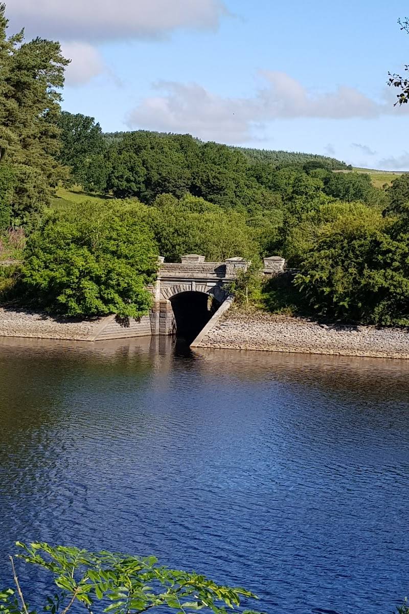
6.2Completed in 1879, Tunstall Reservoir has a notable engineering story: the supplied Tripadvisor account says engineer Thomas Hawksley first used pressure grouting here in 1876 to reduce water seeping beneath the embankment dam.
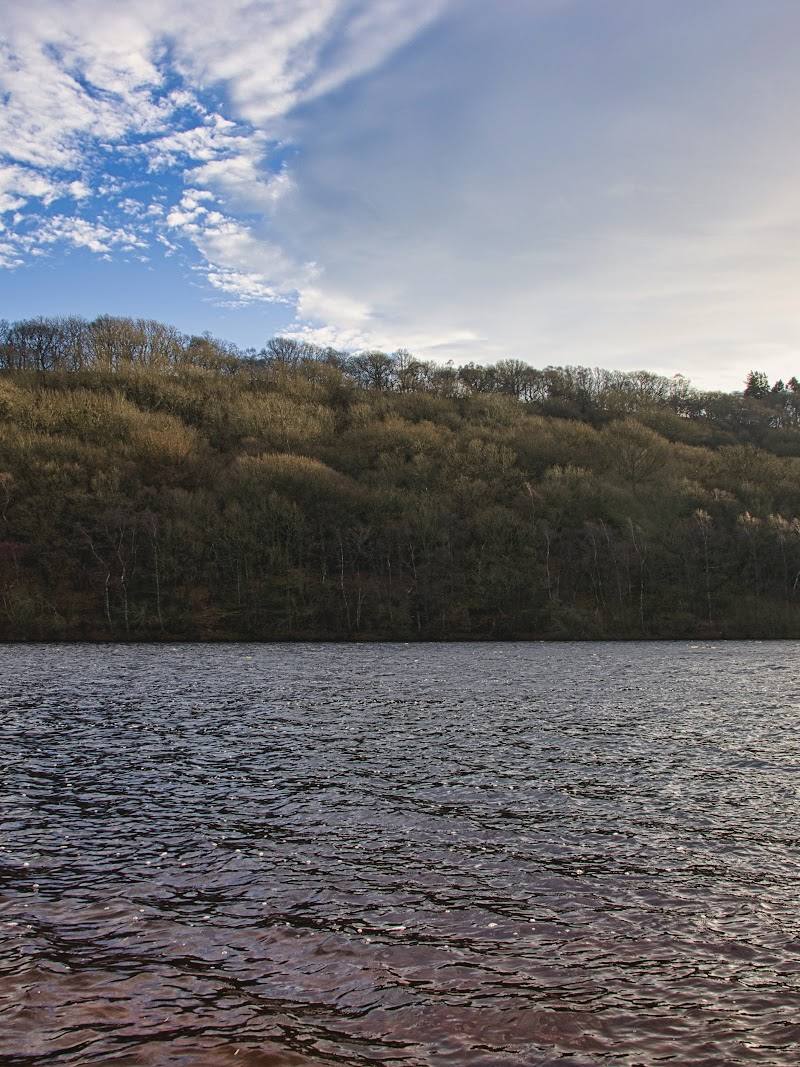
The reservoir combines a wooded, often muddy shoreline walk with a small marsh reserve at its northern end and an unusually specific Victorian dam-engineering story. It offers more to notice than a simple waterside circuit, though conditions and access details are worth checking before setting out.
Peaceful · Secluded · Wild
Find your way
Open mapWolsingham, County Durham DL13 3LX
Opening map…
Know this place a little better?
The experience
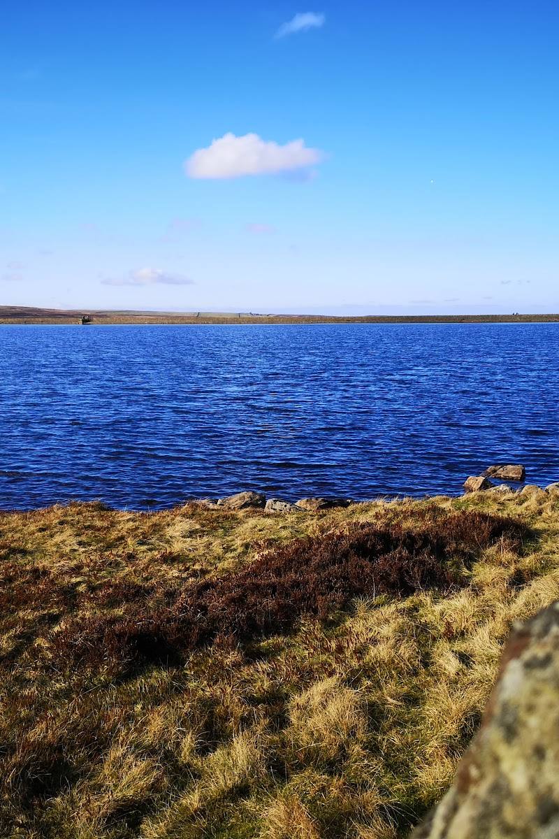
Walk the reservoir circuit for a compact outing through waterside and woodland scenery. The route is about 2 miles and is described as a loop taking 0.5–1 hour, though muddy, uneven sections may slow progress. Pause at the northern marsh reserve and look beyond the view to the reservoir’s engineering history.
Things to do
Walk the reservoir loop
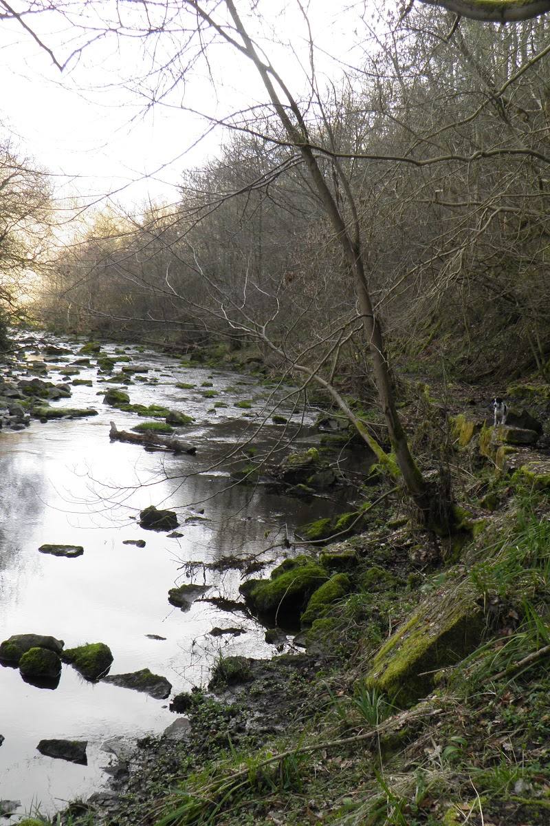
Follow the described 2-mile circular route, taking in the reservoir and its wooded shoreline. Some short sections use public roads; the eastern side can be muddy and uneven.
0.5–1 hour estimated; allow extra time for conditions
Visit the northern marsh reserve
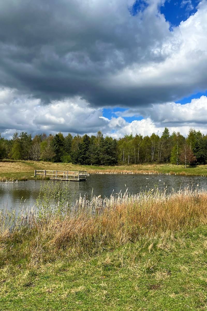
The route description notes a small nature reserve at the reservoir’s northern end. The supplied sources do not give detailed wildlife or access information for it.
Notice the dam’s engineering story
The supplied Tripadvisor account dates the reservoir’s completion to 1879 and says Thomas Hawksley first used pressure grouting here in 1876 to reduce underseepage beneath an embankment dam.
Make a day of it
Quick escape · 0.5–1 hour; allow longer if paths are muddy
Quick Escape: the reservoir circuit
- 01
Start from the car park by the fishing lodge, as described by AllTrails; verify current parking arrangements.
- 02
Follow the approximately 2-mile loop around the reservoir.
- 03
Expect some public-road sections and a muddy, unsurfaced eastern path, particularly towards the northern end.
- 04
Pause by the small nature reserve at the northern end before completing the loop.
Verified history
The supplied Tripadvisor account describes Tunstall as an earth-embankment reservoir completed in 1879. It says engineer Thomas Hawksley first used pressure grouting here in 1876 to reduce underseepage beneath an embankment dam, and notes that the technique was later widely adopted. The source also says the reservoir helps maintain minimum regulatory flows on the River Wear and that the area has iron and coal industry heritage.
Hidden details
A dam-engineering milestone — Look beyond the reservoir scenery to its engineering significance: the supplied account associates Tunstall with Hawksley’s early use of pressure grouting in 1876, before the reservoir was completed in 1879.
The small northern marsh reserve — A small nature reserve is noted at the northern end of the reservoir circuit. Specific species and facilities are not established by the supplied sources.
When to go
· No specific time of day is established by the supplied sources.
The supplied sources do not identify a preferred season. The eastern path can be muddy, particularly towards the northern end, so check conditions before visiting.
The eastern path is unsurfaced and can be muddy, with tree roots and minor obstructions. Sturdy footwear is sensible; this recommendation reflects the route conditions described by AllTrails.
The route
- ascent
- 65 ft
- surface
- Some short public-road sections; eastern side is unsurfaced and can be muddy, with tree roots and minor obstructions.
- distance
- 2 miles
- duration
- 0.5–1 hour estimated
- difficulty
- Moderate (AllTrails listing)
- route shape
- Loop
- start point
- Car park by the fishing lodge, according to AllTrails; verify current arrangements.
- parking start
- AllTrails describes a car park by the fishing lodge as the start. Check availability and current arrangements.
- Tunstall Reservoir shoreline
- Wooded sections
- Small nature reserve at the northern end
- Victorian dam-engineering story
What to look for
- 01
At the northern end, look for the small marsh nature reserve. The reservoir’s dam dates to 1879
- 02
the supplied Tripadvisor account links the site to Thomas Hawksley’s early use of pressure grouting in 1876.
The story
Victorian dam engineering; iron and coal industry heritage
Best time to go
Check current path conditions; the supplied sources do not establish a best season.
No evidence supplied identifies a particular season or time of day as best. Check current path conditions before setting out.
How long to spend
1–2 hours
Perfect for
Walkers · Photographers · Wildlife lovers
Before you go
Address
Google rating
Practical information
Opening & access
A circular walking route is described around the reservoir. Check current access and any local restrictions before visiting.
Check before visiting
Parking
AllTrails describes the circular walk as starting from a car park by the fishing lodge; confirm availability and current arrangements before travelling.
Toilets
Check before visiting
Check before visiting
Food & drink
Check before visiting
Check before visiting
Dogs
Check before visiting
Check before visiting
Accessibility
The eastern shoreline path is described as unsurfaced, muddy and uneven, with tree roots and minor obstructions; suitability for mobility aids is not established.
Cost
Check before visiting
Check before visiting
Water
Reservoir, Marsh
Gallery
Place photographs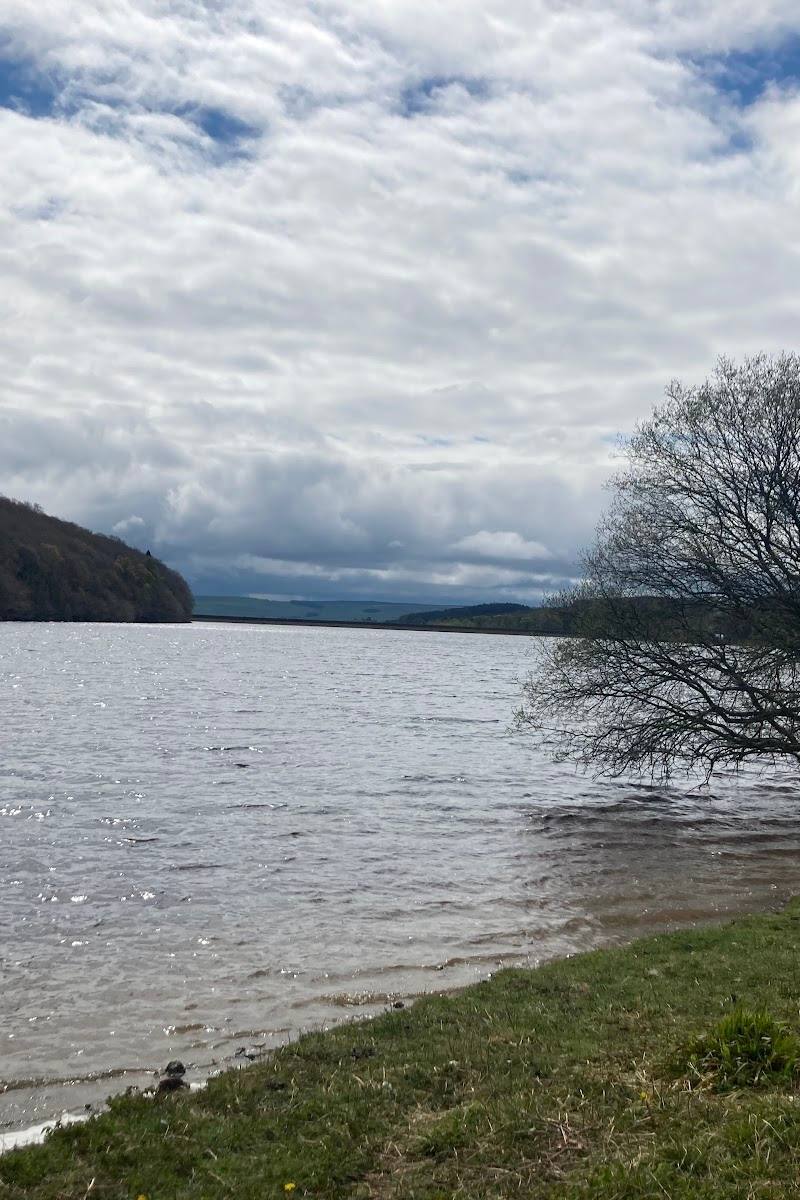
Keep exploring
Around Tunstall Reservoir
Within 50 km · approximate straight-line distances