7.2
Wildland
1–2 hours
Time
Free parking
Cost
Wild
Feel
Why it's Wildland
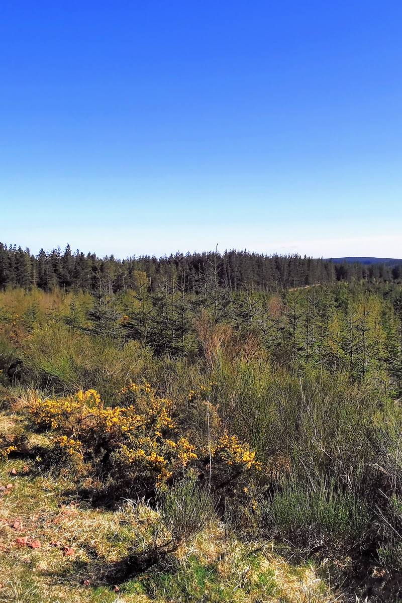
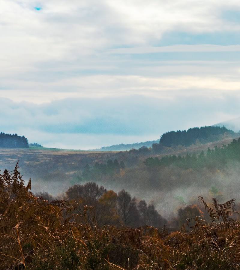
7.2A forest spread across sandstone crags, where woodland trails break out onto open moorland and views towards the Cheviot Hills. The landscape also holds a prehistoric fort, a hand-hewn cave and the stony gully called Hob’s Nick.
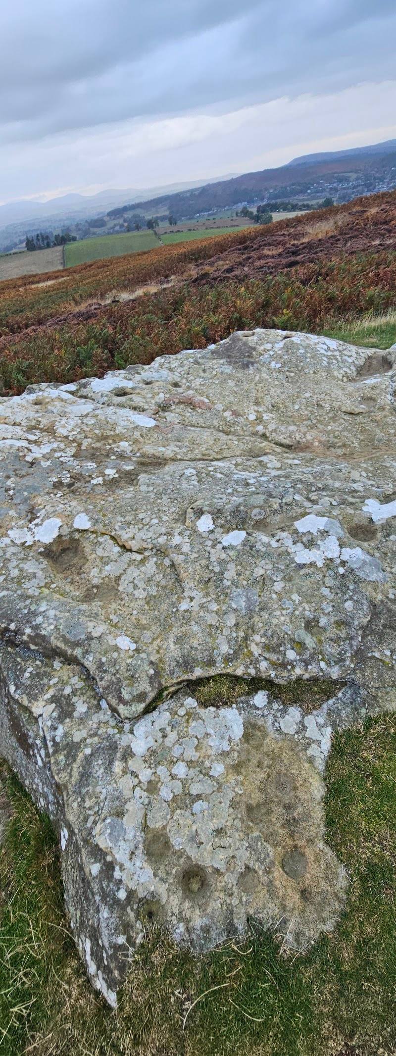
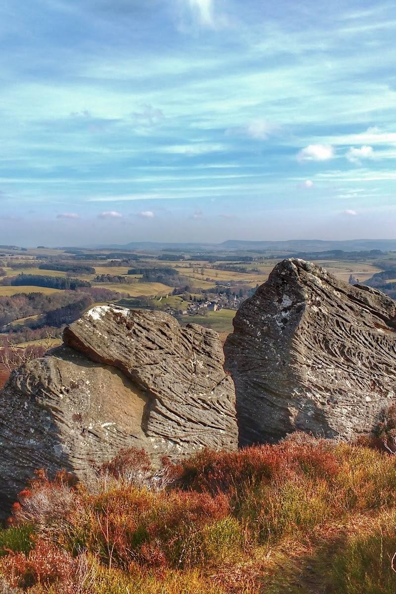
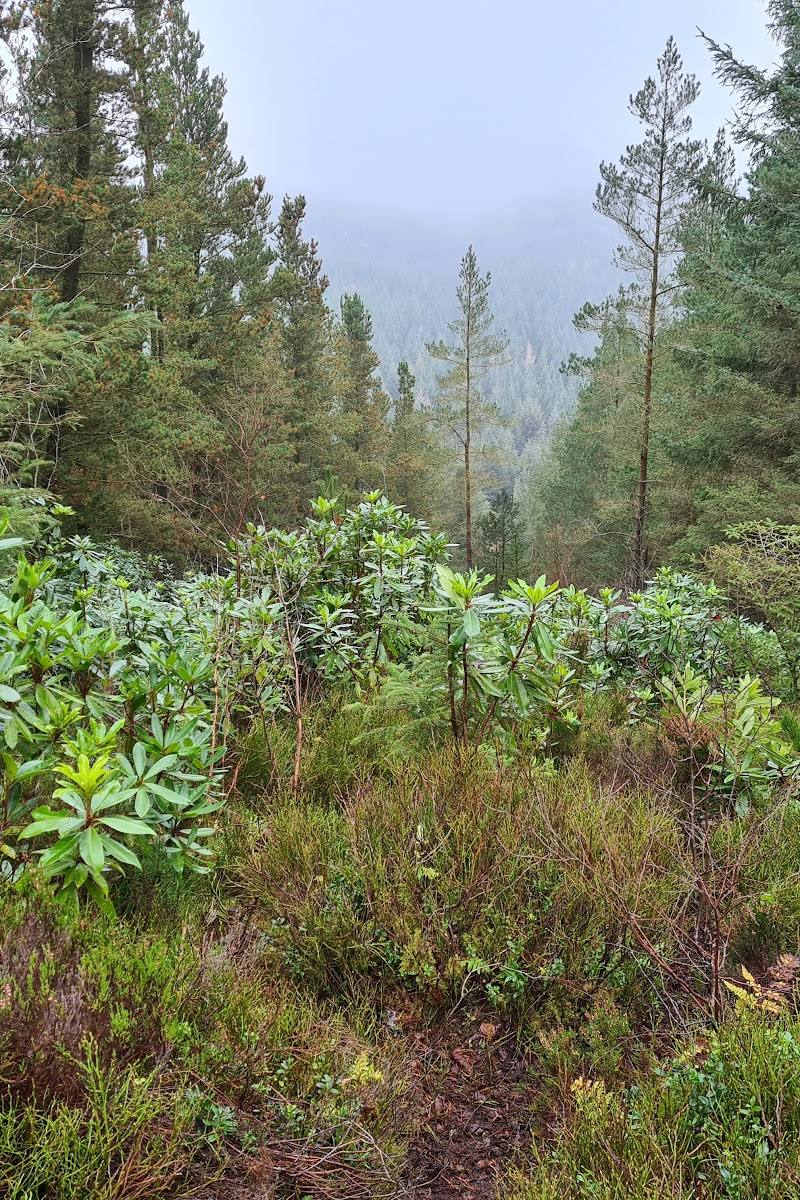
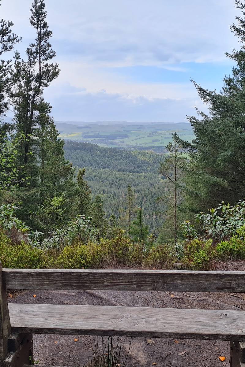
The draw here is the contrast: maturing forest gives way to exposed sandstone crags and open moorland, with wide views over Whittingham Vale and the Cheviots. Castle Hill and Macartney’s cave add a more unusual layer to a woodland visit.
Wild · Dramatic · Atmospheric
Find your way
Open mapNear Alnwick, Northumberland
Opening map…
Know this place a little better?
The experience
Choose a trail through the forest and, where current access allows, continue towards the crags for views across Whittingham Vale and the Cheviot Hills. Castle Hill, Macartney’s cave and Hob’s Nick are distinctive features to look for. Forestry England lists walking, mountain biking and horse riding; check route conditions before setting out.
Things to do
Seek out the crag viewpoints
Follow an open trail towards the sandstone escarpments for views over Northumberland, Whittingham Vale and the Cheviot Hills. Check the latest route status first.
Find Castle Hill
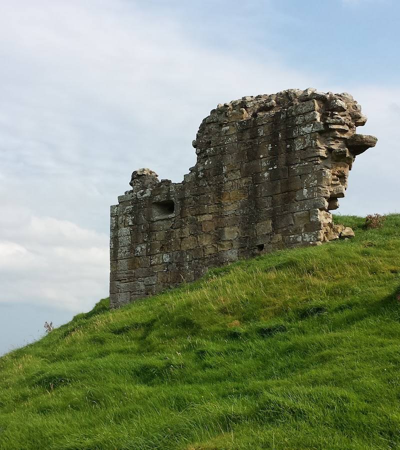
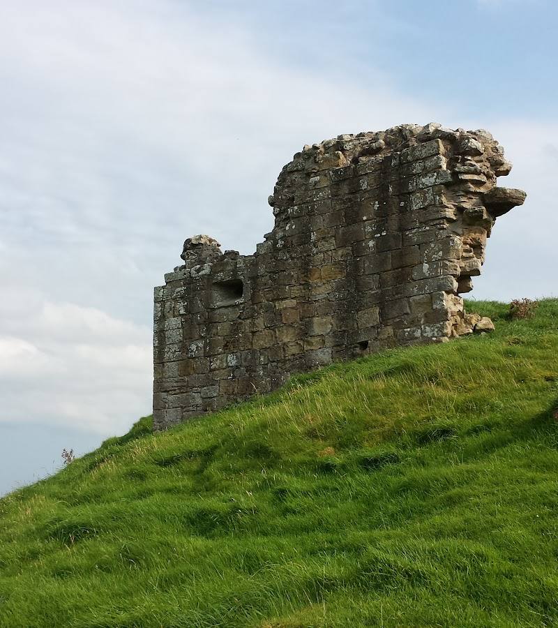
Visit Northumberland identifies Castle Hill as a prehistoric fort in the woods. Confirm that the route to it is open before setting out.
Look for Macartney’s cave and Hob’s Nick
Visit Northumberland describes a hand-hewn cave associated with Macartney, a 19th-century monk, and the stony gully known as Hob’s Nick. The hobgoblin account is folklore, not established history.
Watch for woodland wildlife
Deer, red squirrels and a variety of birds are reported in the wood. Look quietly from the trail; sightings are not guaranteed.
Walk, ride or cycle the forest trails
Forestry England lists walking, mountain biking and horse riding at Thrunton Wood. Check current access and route conditions before choosing an activity.
Make a day of it
Quick escape · 1–2 hours
Quick escape: forest to crag views
- 01
Check Forestry England’s latest access information before setting out.
- 02
Choose an open trail through the forest and head towards a crag viewpoint where the route allows.
- 03
Pause for views across the Northumbrian scenery, then return by a route confirmed as open.
Half day · Half day
Make a half day of it: crags, moorland and Castle Hill
- 01
Check current access and trail conditions with Forestry England.
- 02
Explore the forest trails and continue across open moorland towards the sandstone crags, where accessible routes permit.
- 03
Add Castle Hill as a point of interest; confirm the route and current access locally before relying on it.
- 04
Allow time to look for views towards Whittingham Vale and the Cheviot Hills.
Verified history
Visit Northumberland identifies Castle Hill as a prehistoric fort and describes a hand-hewn cave used as a solitary retreat by Macartney, a monk from nearby Callaly, in the 19th century. The supplied material gives no further dates or archaeological detail.
Folklore & legend
Local legend, as reported by Visit Northumberland, places mischievous hobgoblins at Macartney’s cave; Hob’s Nick is said to take its name from these figures. This is folklore, not verified history.
Hidden details
The cave and its solitary retreat story — Look for the hand-hewn cave associated with Macartney, a 19th-century monk. The source does not specify its exact location or confirm current access, so check locally before seeking it out.
Hob’s Nick — Visit Northumberland names this stony gully for the hobgoblins of local legend. Treat the story as folklore and check access before visiting.
Lichen-clad trees — Notice the lichen on trees along the trails; Visit Northumberland highlights their changing colours through the year.
When to go
· Not specified by the supplied sources; check weather and current access before visiting.
Visit Northumberland describes changing colours on lichen-clad trees through the year. The supplied sources do not establish particular peak months.
Check the forecast before setting out, especially for exposed crag and moorland sections. Check Forestry England’s current access updates; storm damage has previously affected forest access in the area.
What to look for
- 01
Look for the sandstone escarpments of Thrunton Crag and Long Crag/Coe Crag, the prehistoric fort at Castle Hill, Macartney’s hand-hewn cave and the stony gully of Hob’s Nick. Deer, red squirrels and birds are reported in the wood
- 02
sightings are not guaranteed.
The story
Prehistoric fort at Castle Hill; a 19th-century monk’s cave retreat is also described by Visit Northumberland.
Best time to go
Year-round, with changing colour in the lichen-covered trees; check current access information before setting out.
The sources describe year-round woodland colour and viewpoints but do not identify a best time of day. Check weather and current access before visiting.
How long to spend
1–2 hours
Perfect for
Walkers · Photographers · Wildlife lovers · Cyclists · Dogs
Before you go
Address
Google rating
Practical information
Opening & access
Forestry England says the wood is accessible 24 hours a day and currently describes it as fully open. Check its latest access updates before travelling, as storm-damage closures have affected the Rothbury area.
Check before visiting
Parking
Forestry England reports no parking charges. Sat nav postcode NE66 4SQ; check current parking and access information before travelling.
Check before visiting
Toilets
Check before visiting
Check before visiting
Food & drink
Check before visiting
Check before visiting
Dogs
Dogs are allowed; assistance dogs are welcome, according to Forestry England. Follow current signage and guidance.
Accessibility
Forestry England reports no designated accessible parking spaces. Paths and trails are described as winding through steep crags and open moorland; check current route conditions before visiting.
Check before visiting
Cost
Free parking; other costs not evidenced
Water
None evidenced
Gallery
Place photographs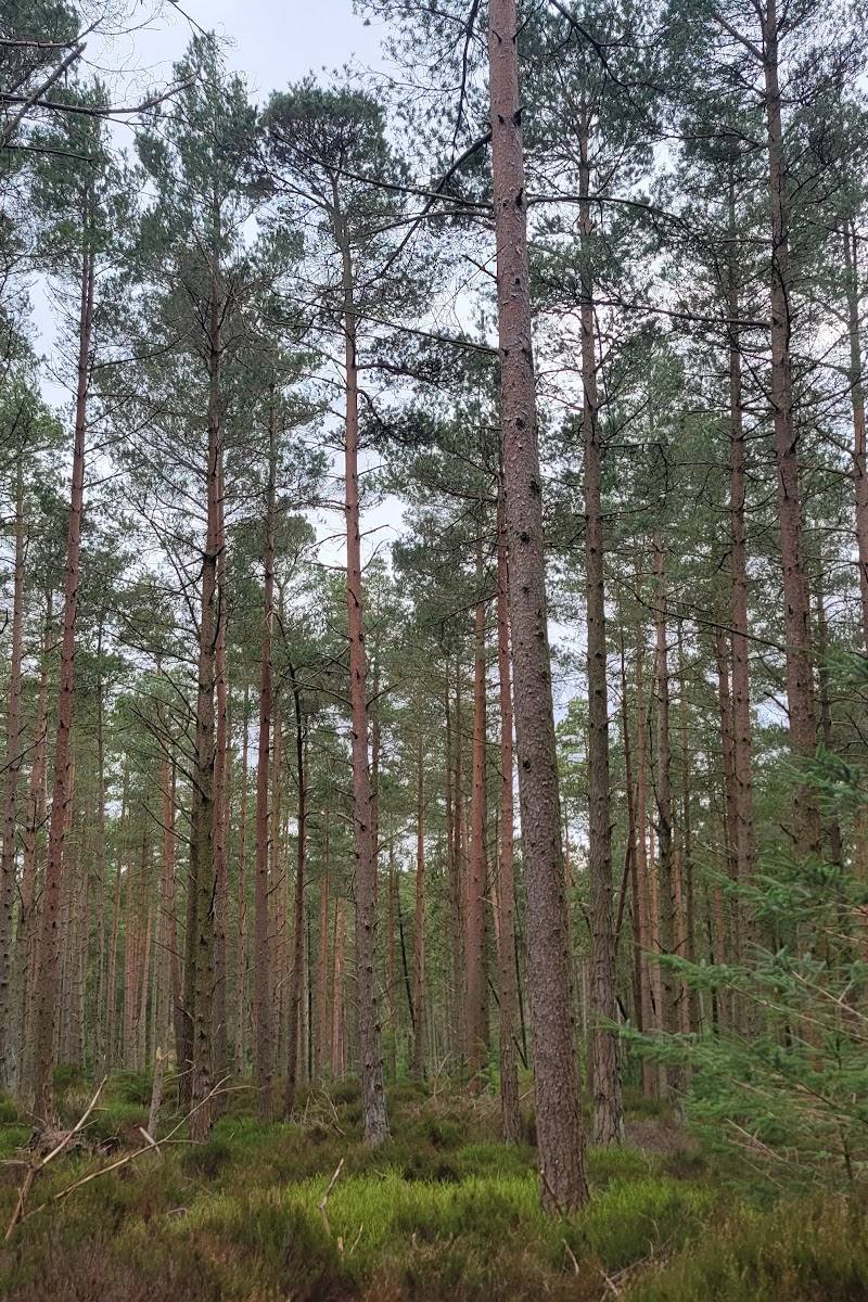
Keep exploring
Around Thrunton Wood
Within 50 km · approximate straight-line distances