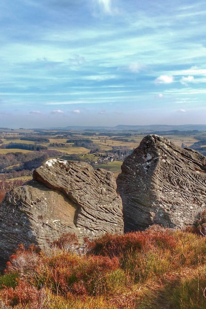
Lordenshaws, near Rothbury, Northumberland
Lordenshaw Hillfort Circular
route · Countryside walk
Place photograph
6.8
Wildland
1–2 hours
Time
Check
Cost
Wild
Feel
Why it's Wildland
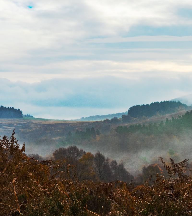
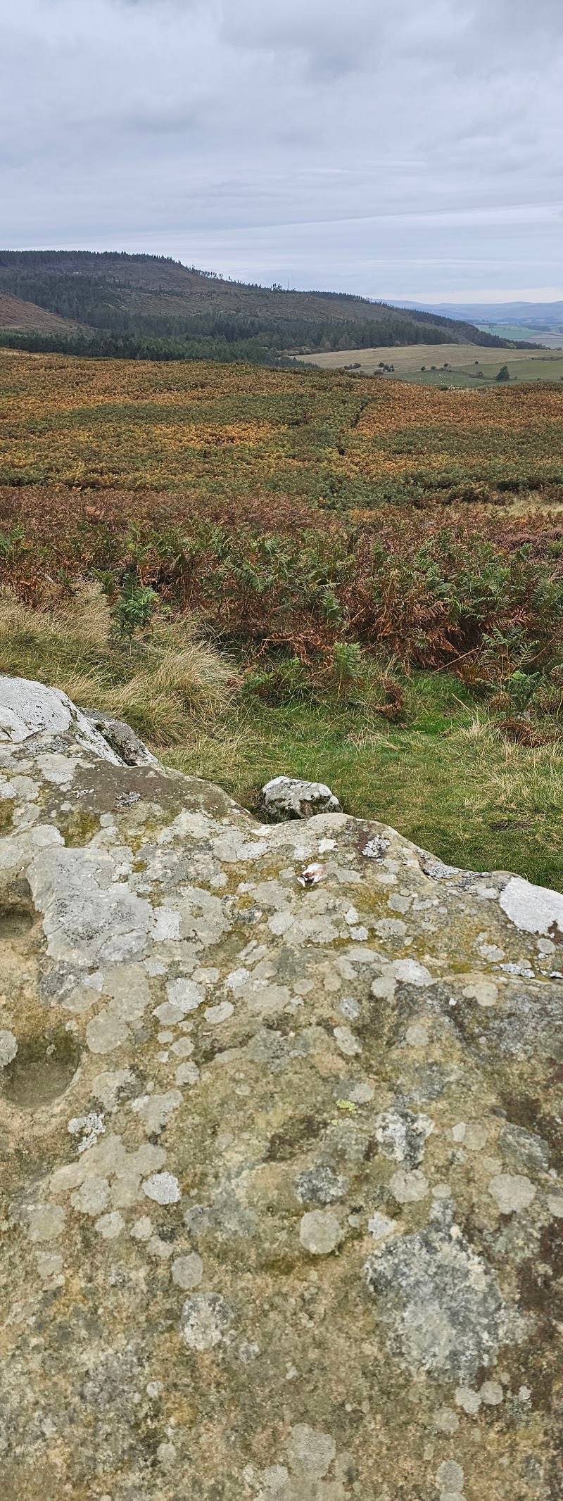
6.8A circuit through open heather moorland to Iron Age hillfort ramparts and ancient rock art, with broad views towards Rothbury.
The appeal is the combination of open Simonside hillside and tangible archaeology: this is a walk where the landscape itself carries the story. Expect exposed ground and, according to the route source, narrow peaty paths that can become slippery after rain.
Wild · Big-sky · Atmospheric
Find your way
Open mapLordenshaws, near Rothbury, Northumberland
Opening map…
Know this place a little better?
The experience
A short hill circuit with a strong archaeological focus. The supplied AllTrails route listing describes a 3.1-mile loop taking an estimated 1.5–2 hours; Northumberland National Park also publishes a Lordenshaws Loop. Check route conditions and parking before setting out.
Things to do
Walk the hillfort circular
Follow the listed 3.1-mile loop through open heather moorland to Lordenshaw hillfort. The route listing describes narrow peat paths and grassy tracks that can become wet and slippery after rain.
1.5–2 hours
Explore the hillfort ramparts
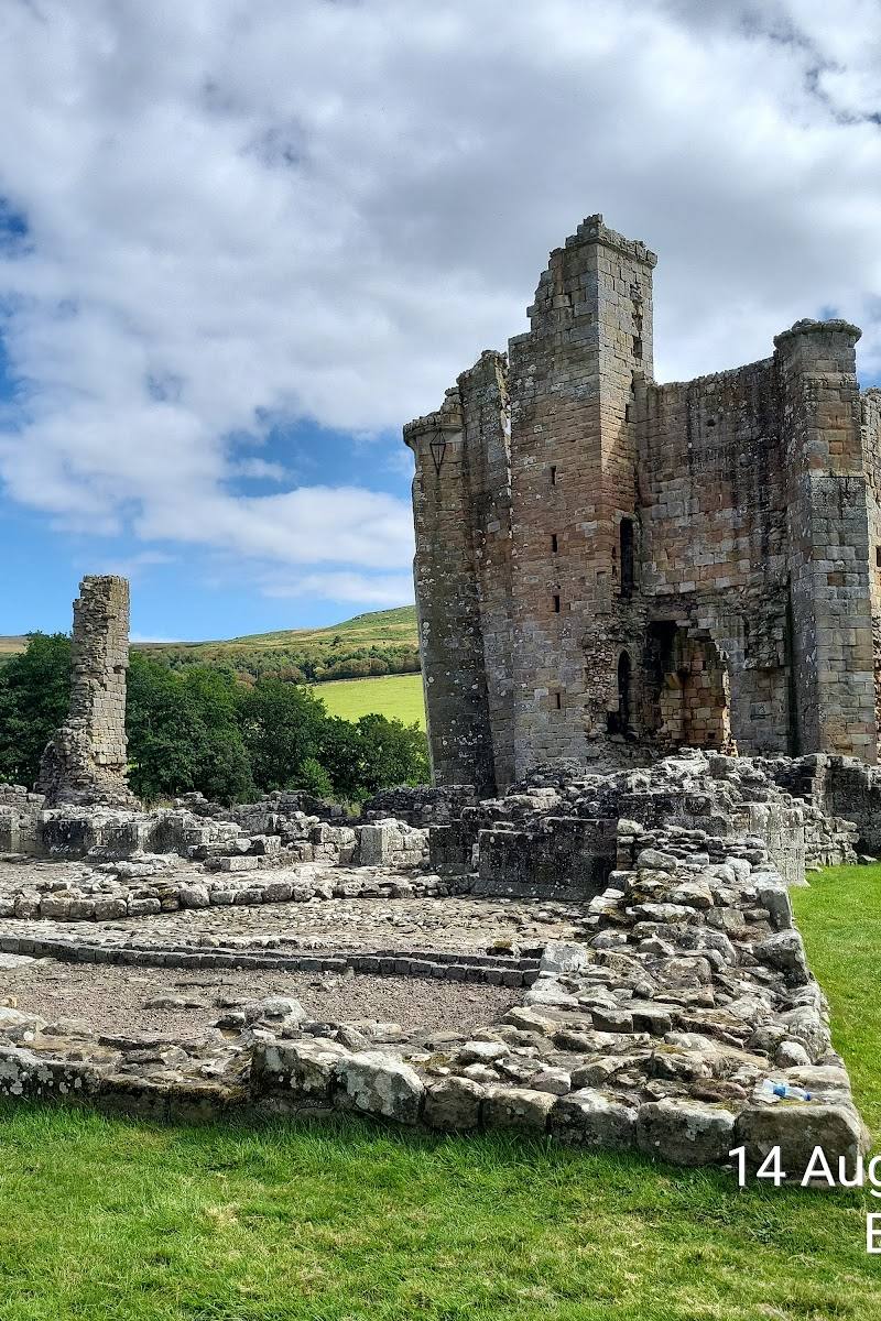
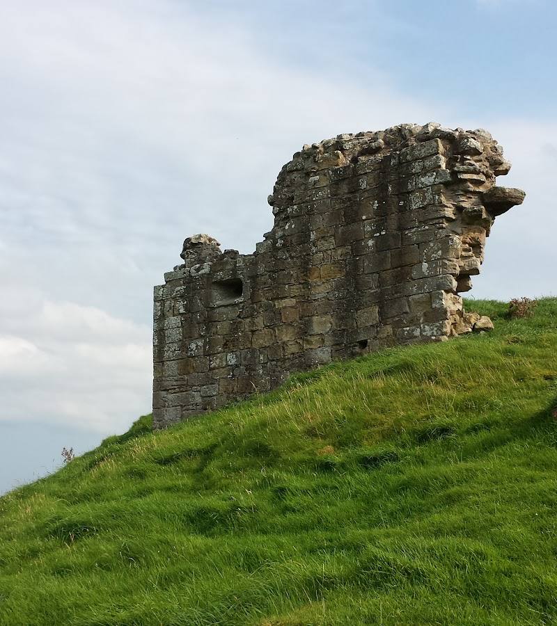
Visit the Iron Age hillfort identified as a highlight of the circular route.
Look for ancient rock art
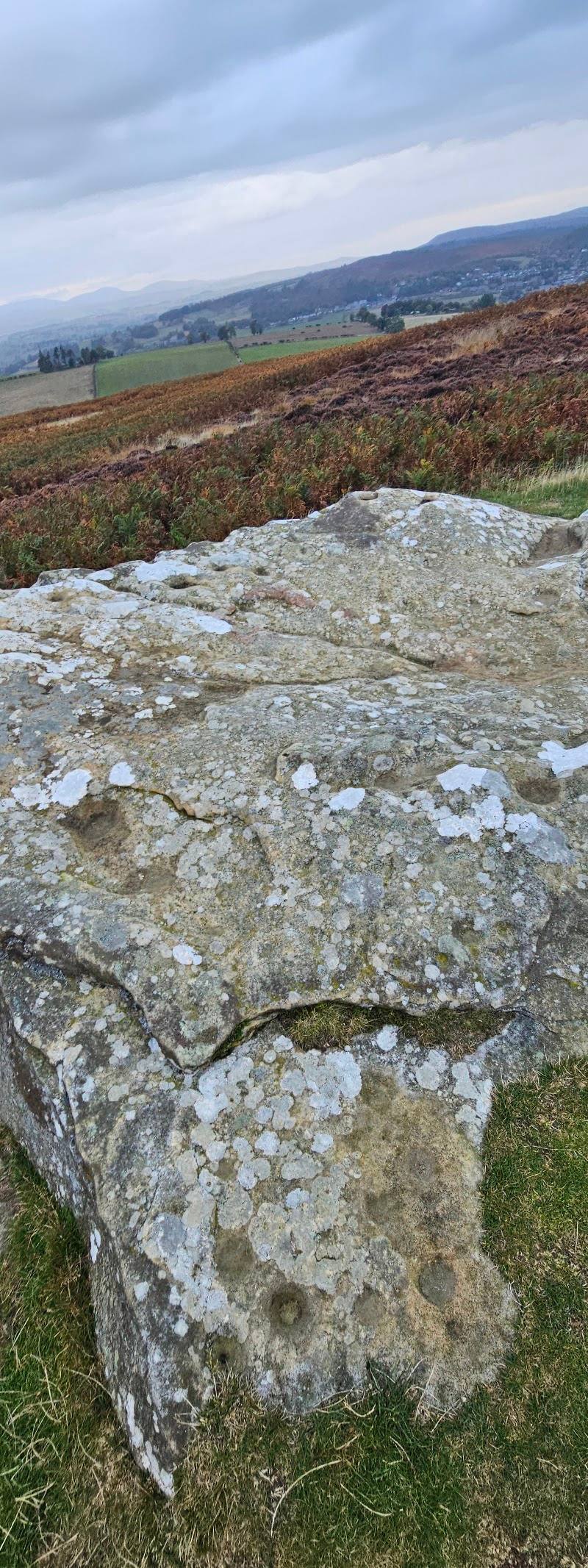
The route source describes ancient rock art at Lordenshaw. Its supplied excerpt does not specify individual carvings or precise locations.
Make a day of it
Quick escape · 1.5–2 hours
Quick Escape: Hillfort and moorland loop
- 01
Start from the Lordenshaw Hill Fort Car Park location, checking current parking arrangements before you go.
- 02
Follow the Lordenshaw Hillfort Circular towards the hillfort.
- 03
Pause at the ramparts and look for ancient rock art.
- 04
Return by the loop route; take care on narrow, potentially wet peat paths.
Verified history
The supplied route listing identifies Lordenshaw as the site of Iron Age hillfort ramparts and ancient rock art. The available source excerpts provide no further dates, named people or detailed account of the site's history.
Hidden details
Ancient rock art — The route listing notes ancient rock art among Lordenshaw's features, but does not say where individual examples are found. Look carefully and avoid stepping off the path or touching archaeological features.
When to go
· Not established by supplied sources; choose a clear-weather window for the exposed hillside.
The supplied route description mentions heather, bilberry and gorse, but does not establish peak flowering periods or preferred months.
The route listing warns that peaty ground and heathland trails can become wet and slippery after rain; waterproof boots are advised there. Conditions can affect the exposed hillside, so check before setting out.
The route
- ascent
- 508 ft
- surface
- Narrow peat paths and grassy tracks; can become wet and slippery after rain
- distance
- 3.1 miles
- duration
- 1.5–2 hours
- difficulty
- Easy (as listed by AllTrails); ground may be wet and slippery after rain
- route shape
- Loop
- start point
- Lordenshaw Hill Fort Car Park location, NE61 4PU; confirm the route start and parking before setting out.
- parking start
- The source row names Lordenshaw Hill Fort Car Park and gives NE61 4PU. Availability, charges and restrictions are not confirmed.
- Lordenshaw Iron Age hillfort ramparts
- Ancient rock art
- Open heather moorland
- Views towards Rothbury
What to look for
Look for the hillfort ramparts and ancient rock art. The supplied sources do not identify particular carvings or their locations, so allow time to explore carefully without leaving the path.
The story
Iron Age hillfort and ancient rock art
Best time to go
Check current conditions before setting out; heather, bilberry and gorse are noted along the route, but exact peak dates are not established by the supplied sources.
No specific best time of day is confirmed by the supplied sources. Choose a clear-weather window for the open hillside and views.
How long to spend
1–2 hours
Perfect for
Walkers · History lovers · Photographers
Route at a glance
Duration
1–2 hours
Terrain
Hills, Remote countryside
Parking / start
The source row identifies Lordenshaw Hill Fort Car Park at NE61 4PU. Parking availability, charges and restrictions: Check before visiting.
Before you go
Address
Google rating
Practical information
Opening & access
A walking route over Lordenshaws hillfort is published by Northumberland National Park. The source row identifies a car park here, but current parking arrangements and any charges should be checked before travelling.
Check before visiting
Parking
The source row identifies Lordenshaw Hill Fort Car Park at NE61 4PU. Parking availability, charges and restrictions: Check before visiting.
Check before visiting
Toilets
Check before visiting
Check before visiting
Food & drink
Check before visiting
Check before visiting
Dogs
Check before visiting
Check before visiting
Accessibility
The supplied route description mentions narrow peat paths and grassy tracks; it does not establish accessible-surface provision. Check conditions before visiting.
Check before visiting
Cost
Check before visiting
Check before visiting
Gallery
Place photographs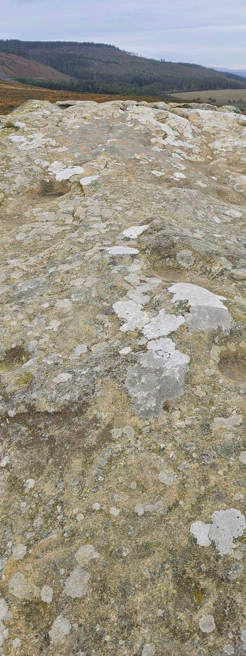
Keep exploring
Around Lordenshaw Hillfort Circular
Within 50 km · approximate straight-line distances