Lordenshaws, near Rothbury, Northumberland
Lordenshaw Hill Fort
Prehistoric
Place photograph
8.0
Wildland
1–2 hours for a short visit
Time
Check
Cost
Ancient-feeling
Feel
Why it's Wildland
8.0Iron Age ramparts, Bronze Age burial mounds and a remarkable concentration of ancient cup-and-ring rock art occupy the open hillside above Rothbury.
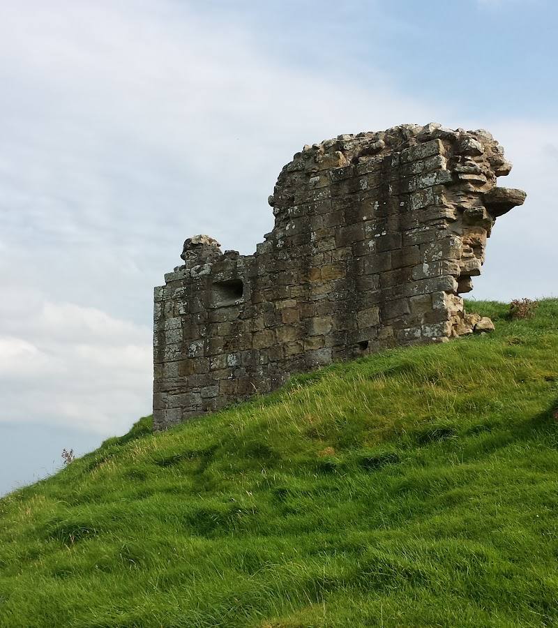
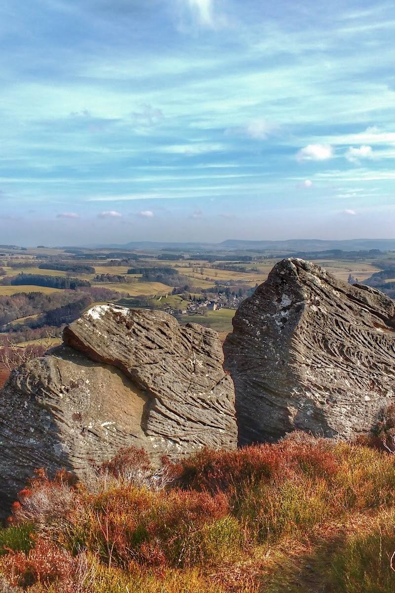
This is more than a hillfort-shaped earthwork: double ramparts and round-house impressions remain visible, while nearby rock outcrops carry one of the country's largest clusters of cup-and-ring marks. The prehistoric traces sit in an exposed upland landscape, making the visit feel like an encounter with both archaeology and open country.
Ancient-feeling · Wild · Big-sky
Find your way
Open mapLordenshaws, near Rothbury, Northumberland
Opening map…
Know this place a little better?
The experience
Explore the hillfort remains and seek out the cup-and-ring marked stones. For a longer outing, follow the Lordenshaws circular route across open moorland, allowing for peaty ground that can become wet and slippery after rain.
Things to do
Trace the hillfort ramparts
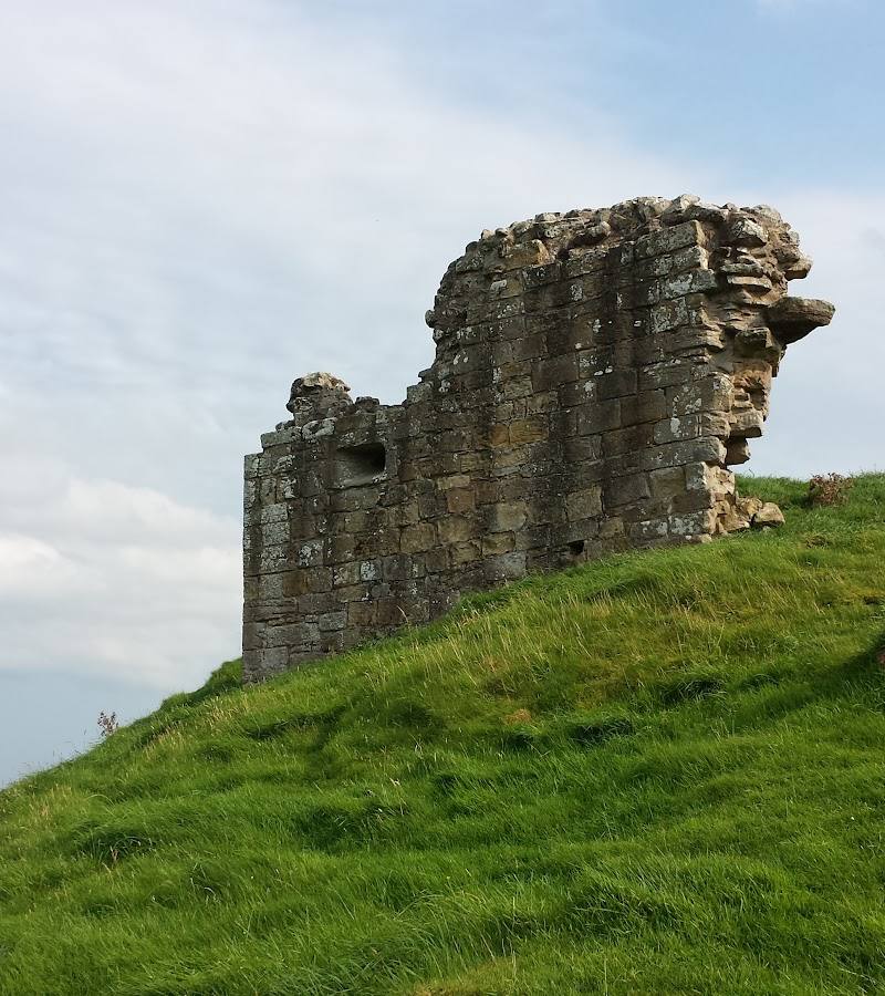
Walk around the visible double ramparts of the Iron Age hillfort and look for the impressions of round houses in the ground.
Allow time within your visit
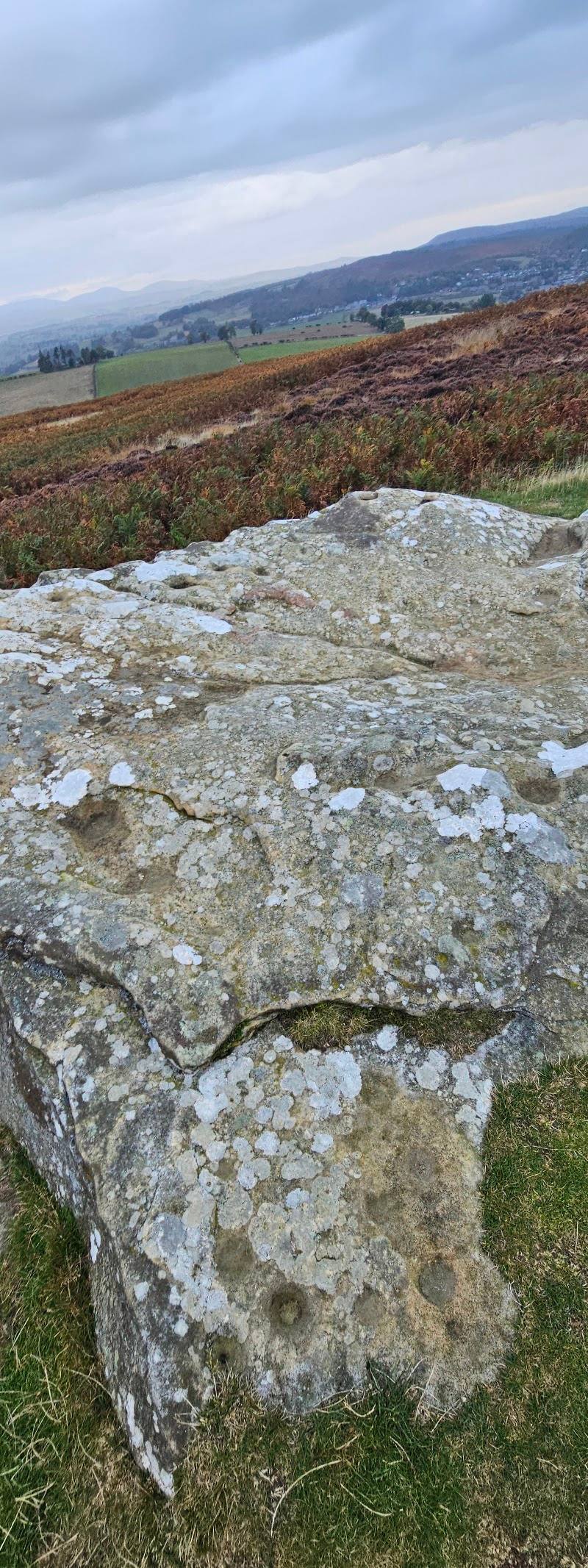
Look for cup-and-ring rock art
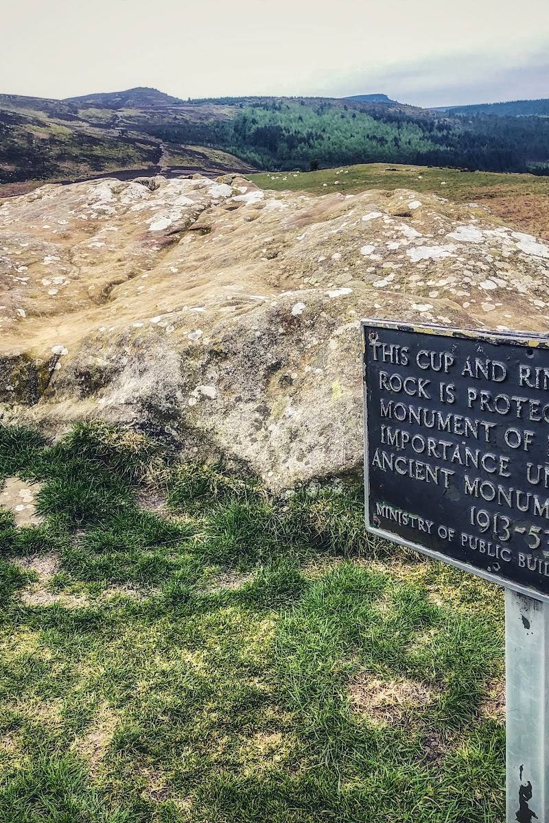
Seek out the carved hollows and grooves on the rock outcrops and boulders. The National Park describes Lordenshaws as having one of the country's largest clusters of these marks.
Allow time within your visit
Walk the Lordenshaws circular
A 3.1-mile loop across open heather moorland, passing the hillfort. The route description notes narrow peaty paths and grassy tracks that can become wet and slippery after rain.
1.5–2 hours
Make a day of it
Quick escape · 1–2 hours
Quick Escape: Find the hillfort and rock art
- 01
Start from Lordenshaws car park.
- 02
Walk up to the hillfort remains and look for the double ramparts and round-house impressions.
- 03
Explore the area for cup-and-ring marked rocks and burial mounds, then return the way you came.
Half day · About 1.5–2 hours walking; allow extra time to explore
Make a Half Day of It: Lordenshaws Loop
- 01
Begin at Lordenshaws car park.
- 02
Follow the Lordenshaws Hillfort Circular across open heather moorland.
- 03
Pause at the hillfort and rock-art area, taking care on peaty paths that can be wet and slippery after rain.
- 04
After the walk, continue to Rothbury or the Simonside Hills as a separate stop.
Verified history
The National Park describes the hillfort as an Iron Age construction from around 2,000 years ago, with double ramparts and impressions of round houses still visible. Bronze Age burial mounds and a large cluster of cup-and-ring marked stones are also found at Lordenshaws. The National Park dates the rock art tradition to between 6,000 and 3,500 years ago.
Hidden details
Round-house impressions — Look across the ground within the hillfort for the impressions of round houses, alongside the more obvious double ramparts.
Small cups and surrounding grooves — The rock art consists of curious hollows and grooves carved into outcrops and boulders; take time to inspect the stones rather than focusing only on the hillfort earthworks.
When to go
May · June · July · August · September · A clear day, when the open hillside is easiest to appreciate; avoid setting out in poor conditions without checking the route.
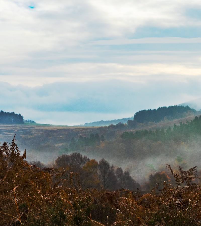
The sourced route crosses open heather moorland, and a visitor account describes the hills as purple when the heather flowers in summer. The same route source warns that peaty ground becomes wet and slippery after rain.
Exposed upland walking; peaty paths can be wet and slippery after rain. Waterproof footwear is recommended by the route source.
The route
- ascent
- 508 ft
- surface
- Narrow peat paths and grassy tracks; can be wet and slippery after rain
- distance
- 3.1 miles
- duration
- 1.5–2 hours
- difficulty
- Easy (as listed by AllTrails)
- route shape
- Loop
- start point
- Lordenshaws car park
- parking start
- The National Park gives driving directions to Lordenshaws car park from Rothbury; check current parking arrangements.
- shorter alternative
- Visit the hillfort and nearby rock-art area from the car park and return without completing the full loop; no shorter route distance is specified in the supplied sources.
- Lordenshaw Iron Age hillfort
- Cup-and-ring rock art
- Open heather moorland
Worth pairing with
Simonside Hills
A distinctive craggy ridge above Rothbury, identified by the National Park as nearby.
Rothbury
The National Park describes Rothbury as the capital of Coquetdale and lists it among the nearby places to visit.
Tosson Tower
A nearby historic tower listed by the National Park.
What to look for
- 01
The hillfort's double ramparts and ground impressions of round houses
- 02
Bronze Age burial mounds
- 03
and the curious cups and grooves carved into rock outcrops and boulders.
The story
Prehistoric archaeology: Iron Age hillfort, Bronze Age burial mounds and Neolithic/Bronze Age rock art
Best time to go
Spring to autumn for longer daylight and easier hill walking; heather flowers in summer. Conditions can be wet underfoot after rain.
Choose a clear, settled day for the open hillside and views. Summer brings flowering heather; after rain, expect wet and slippery ground on the moorland paths.
How long to spend
1–2 hours for a short visit; allow around 1.5–2 hours for the sourced circular route
Perfect for
Walkers · History lovers · Photographers
Before you go
Address
Listed hours
- Monday: Open 24 hours
- Tuesday: Open 24 hours
- Wednesday: Open 24 hours
- Thursday: Open 24 hours
- Friday: Open 24 hours
- Saturday: Open 24 hours
- Sunday: Open 24 hours
Check before visiting.
Google rating
Practical information
Opening & access
A hilltop archaeological site reached from the Lordenshaws car park. The National Park gives driving directions from Rothbury. Check current access and conditions before setting out.
Check before visiting
Parking
The National Park identifies a car park at the start of the walk and provides driving directions from Rothbury. Check current parking arrangements before travelling.
Check before visiting
Toilets
Check before visiting
Check before visiting
Food & drink
Check before visiting
Check before visiting
Dogs
Check before visiting
Check before visiting
Accessibility
The supplied Google listing reports that the entrance is not wheelchair accessible. Hilltop paths and ground conditions may be uneven; check current route information before visiting.
Check before visiting
Cost
Check before visiting
Check before visiting
Gallery
Place photographs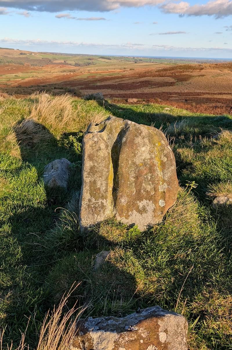
Keep exploring
Around Lordenshaw Hill Fort
Within 50 km · approximate straight-line distances