Kilpatrick Hills, near Glasgow, Scotland
The Whangie
route · Countryside walk
Place photograph
8.2
Wildland
1–2 hours
Time
Check
Cost
Dramatic
Feel
Why it's Wildland
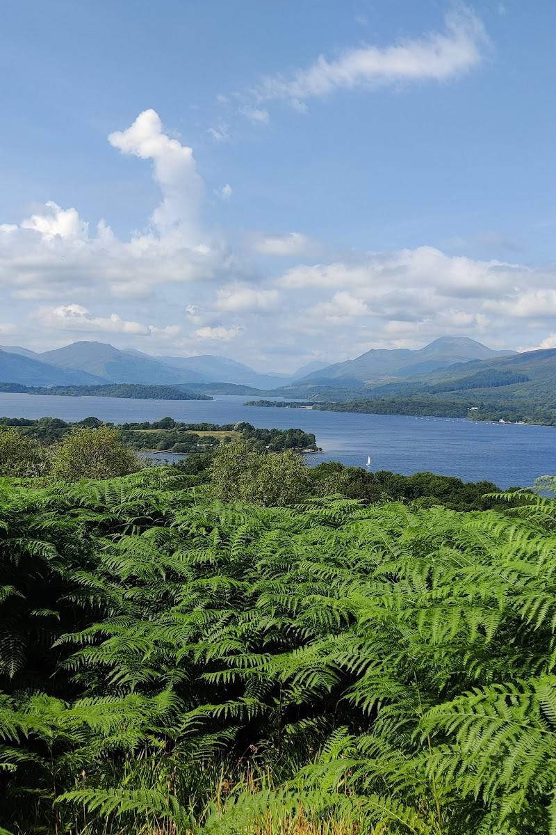
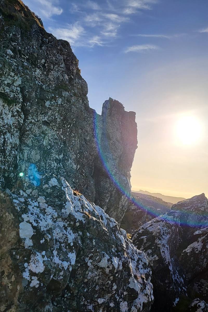
8.2A cleft splits the rock on Auchineden Hill, making the Whangie’s narrow passage the striking centrepiece of a hill walk with wide views towards Loch Lomond and the surrounding hills.
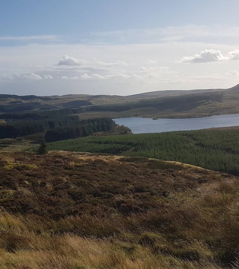
The appeal is unusually concentrated: a dramatic rock cleft, open hill scenery and a route that can continue to Auchineden Hill’s trig point. The boggy, rocky ground and slippery conditions in wet or icy weather make proper footwear important.
Dramatic · Atmospheric · Big-sky · Wild
Find your way
Open mapKilpatrick Hills, near Glasgow, Scotland
Opening map…
Know this place a little better?
The experience
Walk from Queensview Car Park over Auchineden Hill to the Whangie. Explore the rock passage, then either return or extend the outing to the hill’s trig point. Expect a steady climb and potentially boggy, rocky or slippery ground.
Things to do
Walk through the Whangie
Explore the narrow rock passage that gives this hill walk its distinctive feature. Take care on rough ground.
Part of the walk; separate duration not specified.
Continue to the Auchineden Hill trig point
Extend the outing beyond the rock cleft to the hilltop trig point, with broad views on a clear day.
Part of the circular route; separate duration not specified.
Make a day of it
Quick escape · Allow around 1–2 hours; the supplied sources describe different route lengths and timings, so check the route you plan to follow.
Quick Escape: walk to the Whangie
- 01
Start from Queensview Car Park.
- 02
Follow the hill path towards the Whangie, taking care at the described fork so you do not miss the rock formation.
- 03
Explore the cleft, then return by your chosen route.
Half day · Around 1.5–2 hours is listed for the AllTrails circular; allow extra time for stops and conditions.
Make a Half Day of It: add Auchineden Hill
- 01
Begin at Queensview Car Park and walk uphill to the Whangie.
- 02
Continue around the hill towards Auchineden Hill’s trig point for a longer outing and wider views.
- 03
Return to the start, taking care on boggy or slippery ground.
Verified history
The supplied Tripadvisor excerpt describes the Whangie as a narrow cleft in igneous rock and identifies it as a post-glacial mass-wasting feature. The excerpt is AI-generated, so treat that geological account as provisional rather than a definitive specialist source.
Folklore & legend
Local legend, as repeated in the supplied AllTrails description, says the Devil made the Whangie with a swipe of his tail after a meeting of witches and warlocks. This is folklore, not a verified account of how the rock formed.
Hidden details
Look for the trig point beyond the cleft — The longer outing continues to the trig point on Auchineden Hill; it is easy to treat the rock passage as the endpoint, but the hilltop extends the walk and its views.
When to go
· Choose a clear-weather window for the views; no specific time of day is established by the supplied sources.
The supplied sources emphasise that wet and icy conditions can make the rough, boggy path slippery. They do not establish a particular best season.
The path can be boggy; rough sections may be slippery when wet or icy. The supplied AllTrails excerpt recommends appropriate footwear and micro-spikes in winter. Check conditions before setting out.
The route
- ascent
- 670 ft / 205 m in the FamilyCanTravel account; AllTrails lists 564 ft elevation gain for its circular route.
- stiles
- A wooden stile is reported at the start by Glasgow With Kids; confirm on arrival.
- surface
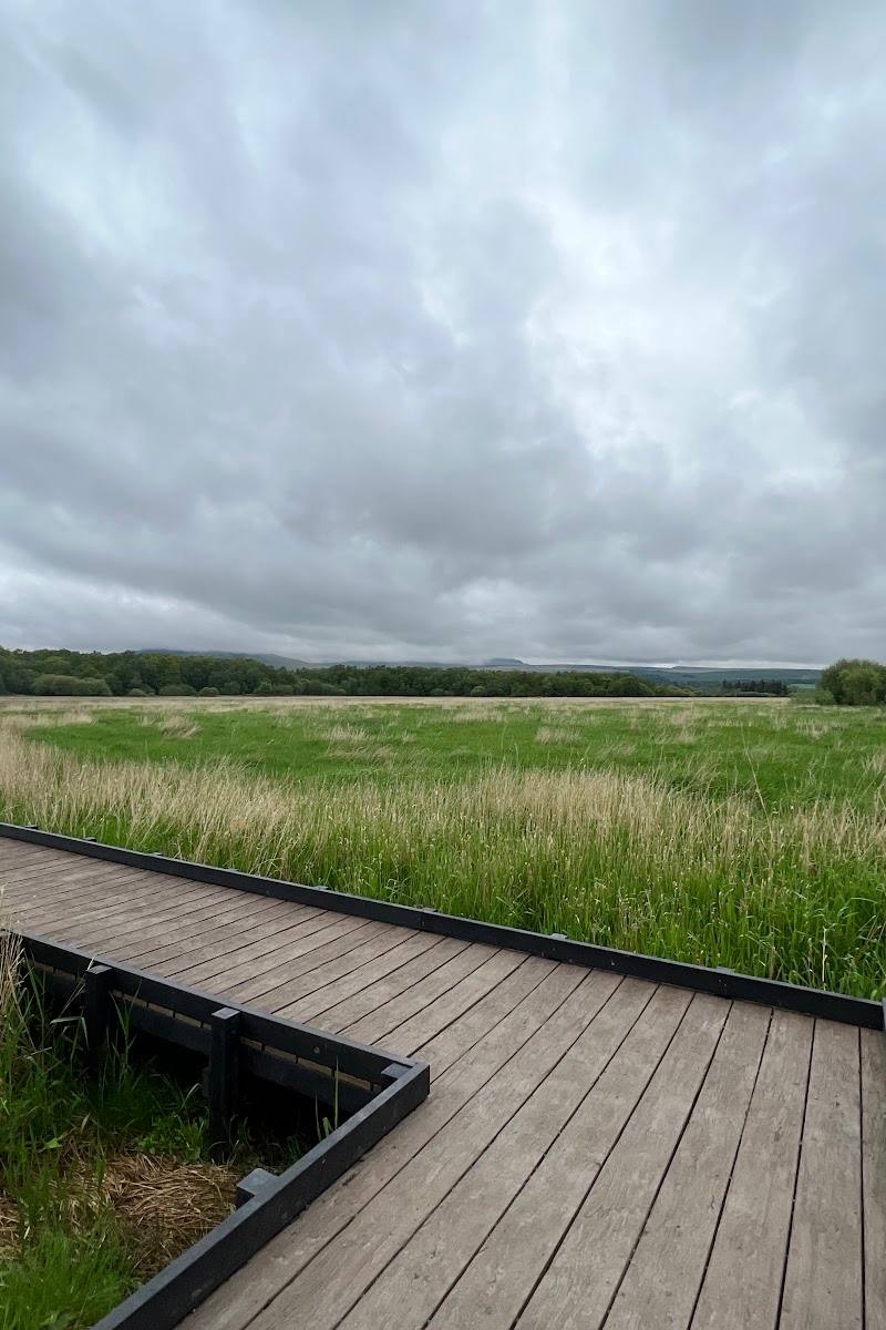
- Uneven hill path, with rocky and boggy sections; a short boardwalk over a boggy area is described near the start.
- distance
- The supplied sources differ: FamilyCanTravel gives 3.5 miles / 5.6 km for its round trip; AllTrails lists 2.8 miles for its circular route.
- duration
- AllTrails estimates 1.5–2 hours for its circular route; another source describes a 3.5-mile round trip. Check the chosen route before setting out.
- difficulty
- Moderate (AllTrails); another supplied guide describes a gradual but sustained climb.
- waymarking
- The path is described as easy to follow, but no formal waymarking details are confirmed.
- route shape
- Circular option via the Whangie and Auchineden Peak; returning the way you came is also described.
- start point
- Queensview Car Park, according to the supplied route guides.
- parking start
- Queensview Car Park is identified as the start. Availability and current conditions are not confirmed; check before visiting.
- shorter alternative
- Walk to the Whangie and return the way you came rather than continuing around Auchineden Hill; exact distance and duration for this option are not established by the supplied sources.
- The Whangie rock cleft
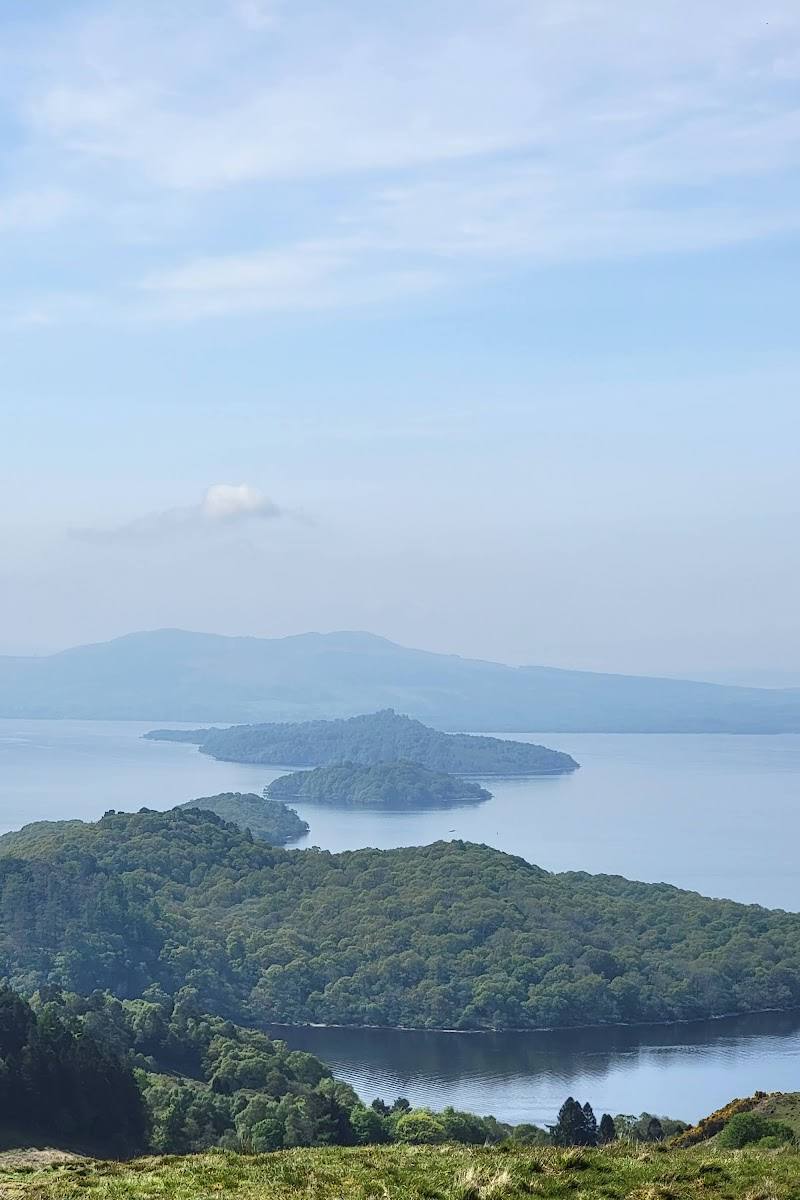
- Open views from the approach across Loch Lomond and surrounding hills
- Auchineden Hill trig point on the longer circuit
What to look for
- 01
The narrow rock passage itself
- 02
the changing outlook from the hillside
- 03
and, on the longer circuit, the trig point and views towards Loch Lomond, the Campsies and Glasgow.
The story
Geology: the Whangie is described as a post-glacial rock feature. A tale about the Devil creating it is folklore, not verified history.
Best time to go
Clear, dry conditions; check the forecast and ground conditions before setting out. Winter routes can be slippery or icy.
Choose a clear, relatively dry day for the views and safer footing. The supplied route guide warns that wet or icy conditions can make rough sections slippery.
How long to spend
1–2 hours
Perfect for
Walkers · Families · Photographers
Route at a glance
Duration
1–2 hours
Terrain
Hills, Remote countryside
Parking / start
Queensview Car Park is identified as the walk start by supplied sources; current availability and any conditions are not confirmed. Check before visiting.
Before you go
Address
Listed hours
- Monday: Open 24 hours
- Tuesday: Open 24 hours
- Wednesday: Open 24 hours
- Thursday: Open 24 hours
- Friday: Open 24 hours
- Saturday: Open 24 hours
- Sunday: Open 24 hours
Check before visiting.
Google rating
Practical information
Opening & access
A hill walk from Queensview Car Park is described by the supplied walking sources. Check current access and parking conditions before travelling.
Check before visiting
Parking
Queensview Car Park is identified as the walk start by supplied sources; current availability and any conditions are not confirmed. Check before visiting.
Check before visiting
Toilets
Check before visiting
Check before visiting
Food & drink
Check before visiting
Check before visiting
Dogs
Check before visiting
Check before visiting
Accessibility
Not wheelchair accessible according to the source row. The route includes an ascent and uneven, boggy or rocky sections; it is not described as an accessible path.
Cost
Check before visiting
Check before visiting
Gallery
Place photographs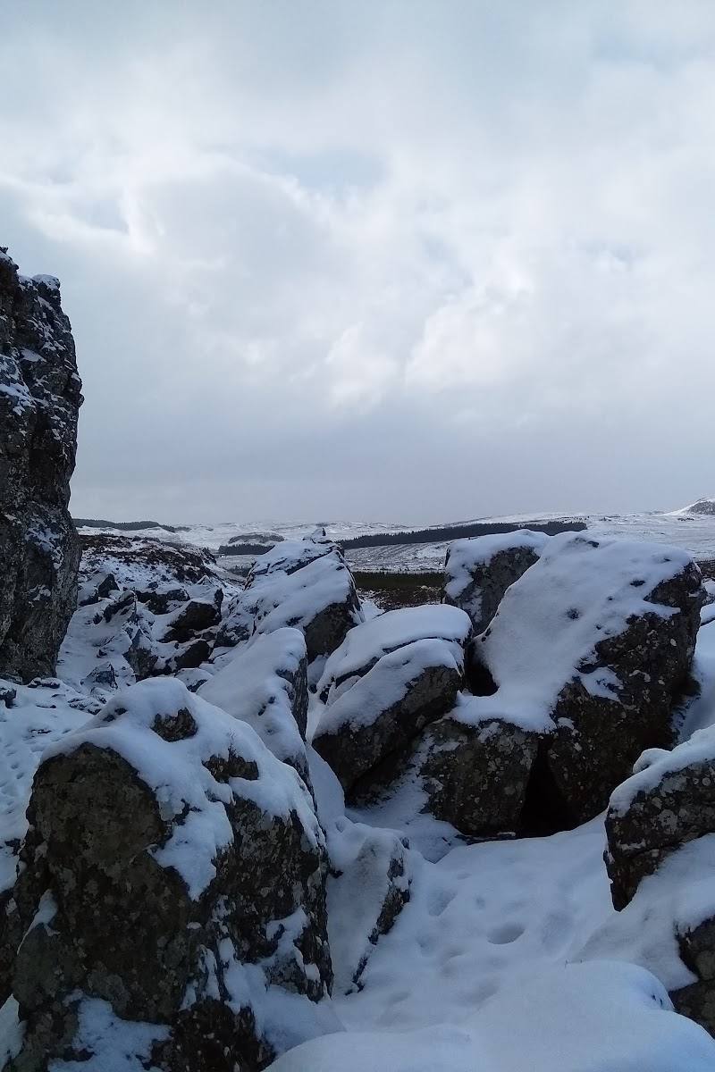
Keep exploring
Around The Whangie
Within 50 km · approximate straight-line distances