Mugdock, near Milngavie, Glasgow G62 8EL
Mugdock Country Park
Forest recreation landscape
Place photograph
7.8
Wildland
Half day
Time
Check
Cost
Atmospheric
Feel
Why it's Wildland
7.8A 270-hectare mix of woodland, moorland and heathland where paths link Mugdock Castle, overlooking Mugdock Loch, with the ruins of Craigend Castle, a historic courtyard and the West Highland Way.
Mugdock earns its place through the way landscape and history meet: you can cross moor and woodland, pass two castle sites and finish among the visitor centre and courtyard. It offers more than a conventional park stroll, with enough distinct routes and historic features to shape a rewarding half-day.
Atmospheric · Peaceful · Family-buzz
Find your way
Open mapMugdock, near Milngavie, Glasgow G62 8EL
Opening map…
Know this place a little better?
The experience
Choose a short castle-and-loch outing, extend it across Pietches Moor and Pheasants Wood, or build a longer day around the park’s visitor centre, trails and historic remains. Pick up the free map at the Visitor Centre to plan a route.
Things to do
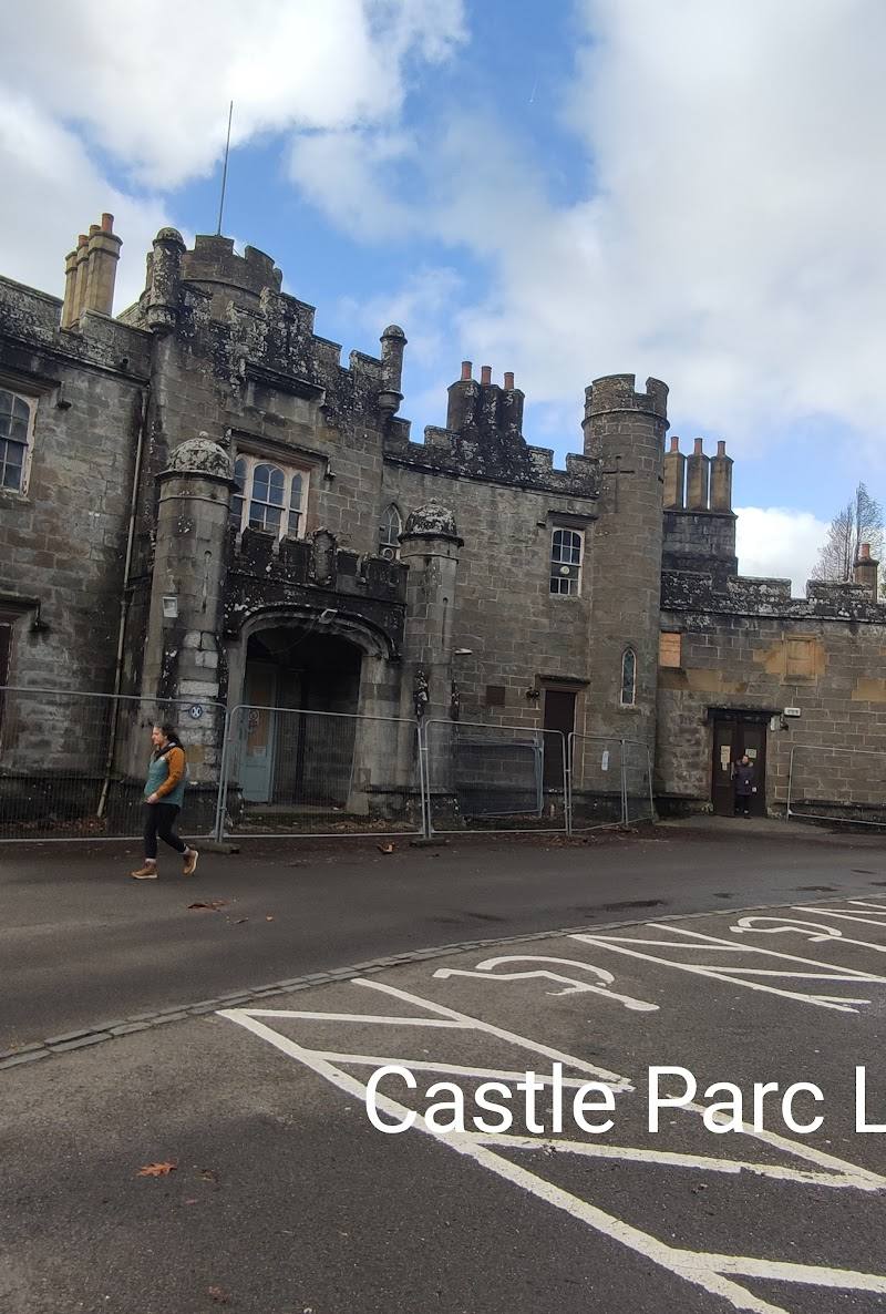
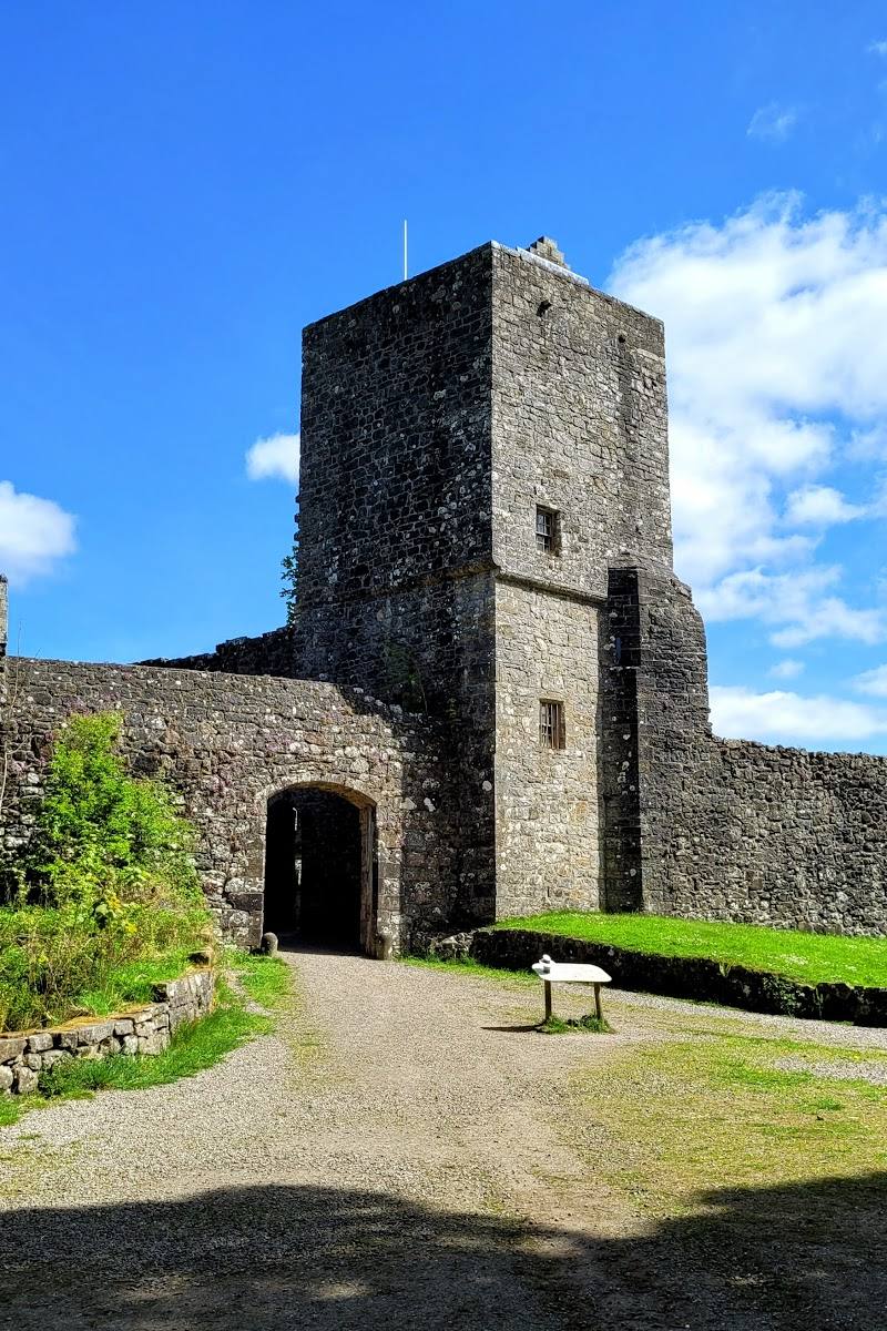
Walk to Mugdock Castle and Mugdock Loch
Follow a park route to the castle overlooking the loch. Use the free map from the Visitor Centre to choose your way.
Pass Craigend Castle
Include the Craigend Castle ruins on a walk towards Mugdock Castle and the loch.
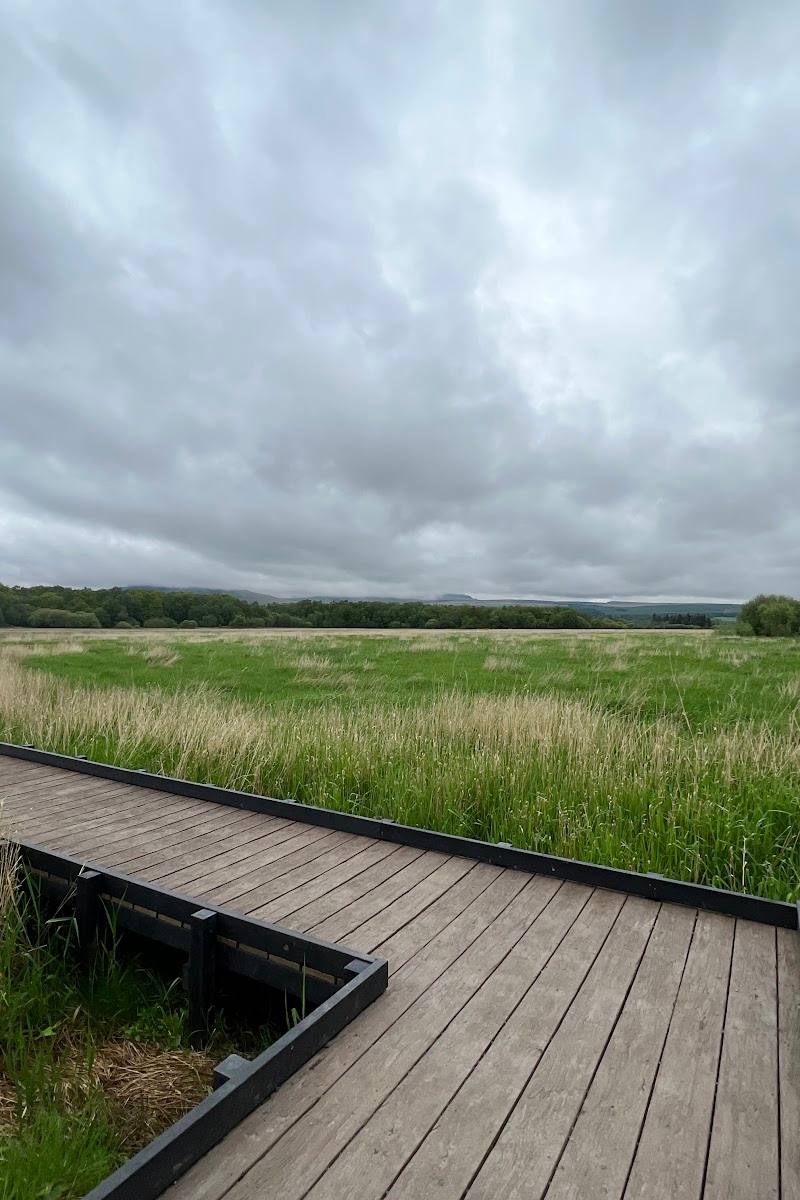
Explore Pietches Moor and Pheasants Wood
Follow the park’s suggested landscape route over Pietches Moor and through Pheasants Wood to the Toadstool Trail.
Find the WW2 gun sites
Head over Khyber Field to see the gun sites identified by the park. Check the map and local information for the appropriate route.
Visit the Courtyard
Return to the Courtyard for the Visitor Centre and, if open, the café, gift shop, gallery or garden centre.
Make a day of it
Quick escape · 1–2 hours
Quick Escape: castle and loch
- 01
Start from the main car park and Visitor Centre; pick up the free park map.
- 02
Walk to Mugdock Castle and look out over Mugdock Loch.
- 03
Return by a park path, checking the map for the route that best suits your time and conditions.
Half day · Half day
Make a Half Day of It: castles, moor and woodland
- 01
Begin at the Visitor Centre and use the free map to plan your walk.
- 02
Walk towards Mugdock Castle and Mugdock Loch, passing Craigend Castle on the way.
- 03
Continue over Pietches Moor and through Pheasants Wood to the Toadstool Trail if time and conditions allow.
- 04
Finish at the Courtyard; cafés, a gift shop, gallery and garden centre are listed there. Check what is open before visiting.
Verified history
The park says its history predates the Bronze Age and describes the landscape as having witnessed more than 5,000 years of Scottish history. Visitors can walk to Mugdock Castle above Mugdock Loch, pass the ruins of Craigend Castle, and visit the WW2 gun sites on Khyber Field. The supplied evidence does not provide dates or further detail about these remains.
Hidden details
The WW2 gun sites on Khyber Field — A historical feature easy to miss if you stick to the castle-and-loch route: the park specifically points visitors towards the gun sites by crossing Khyber Field.
The Toadstool Trail through Pheasants Wood — A named trail on the park’s suggested route through Pheasants Wood; follow the map and park signage to locate it.
When to go
· A clear morning for exploring the open moorland and linked paths. Grounds are described as accessible all day; check car park and facility times.
The supplied sources support visiting throughout the year but do not identify a particular seasonal wildlife or flower highlight.
Check local weather and path conditions before setting out; the sources do not give specific surface or seasonal condition details.
Worth pairing with
Milngavie
The park is close to Milngavie; the West Highland Way can be followed from the town towards the park. No specific businesses or additional attractions are verified in the supplied sources.
What to look for
Look for Mugdock Castle overlooking Mugdock Loch, the ruins of Craigend Castle, the WW2 gun sites on Khyber Field, and the Toadstool Trail through Pheasants Wood.
The story
Archaeology; the park describes a history extending back before the Bronze Age. Castle remains and WW2 gun sites are identified as places to visit.
Best time to go
Year-round; choose a clear day for the open moorland and lochside views, and check path conditions after wet weather.
A clear morning is a good choice for exploring the open moorland and connecting trails. Grounds are described as accessible all day; the main car park is open 9am–6pm.
How long to spend
Half day
Perfect for
Walkers · Families · History lovers · Wildlife lovers · Dogs
Before you go
Address
Phone
Website
Listed hours
- Monday: 9am-6pm
- Tuesday: 9am-6pm
- Wednesday: 9am-6pm
- Thursday: 9am-6pm
- Friday: 9am-6pm
- Saturday: 9am-6pm
- Sunday: 9am-6pm
Check before visiting.
Google rating
Practical information
Opening & access
The park grounds are open all day every day, with free entry. The main car park is open 9am–6pm; some smaller car parks are open all the time. Check current details before travelling.
Check before visiting
Parking
Main car park beside the Visitor Centre, toilets, cafés, shops and play park; open 9am–6pm. Some smaller car parks are open all the time. Check current arrangements before visiting.
Check before visiting
Toilets
Toilets are beside the main car park and Visitor Centre; check current availability.
Check before visiting
Food & drink
Cafés are listed at the park’s Courtyard; check current opening details.
Check before visiting
Dogs
Check current park guidance and on-site signage before visiting.
Check before visiting
Accessibility
Source information identifies a wheelchair-accessible car park and entrance. Path accessibility and suitability vary; check with the park before setting out.
Check before visiting
Cost
Free entry; check current charges for any activities or facilities.
Check before visiting
Water
Loch; the source does not establish permission for swimming or paddling.
Gallery
Place photographs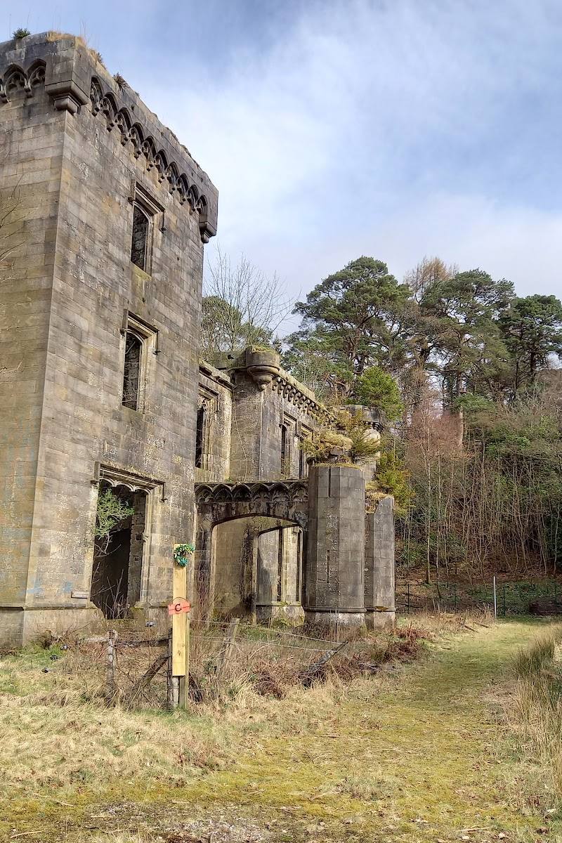

Keep exploring
Around Mugdock Country Park
Within 50 km · approximate straight-line distances