Eastern Lake District, Cumbria
Wild Haweswater
Mixed-habitat reserve
Place photograph
8.1
Wildland
Half day
Time
Check
Cost
Wild
Feel
Why it's Wildland
8.1A 30-square-kilometre landscape restoration partnership where mossy woodland, moorland, farmland, rivers and wildflower meadows meet the fells around Haweswater Reservoir.
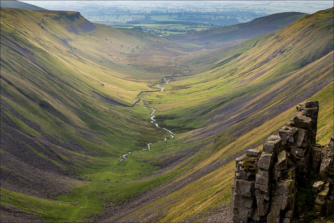
Wild Haweswater is more than a dramatic reservoir setting: it is a vast, working restoration landscape where farms, woodland, rivers and upland habitats are being managed for wildlife, water and people. Its rugged, remote character rewards preparation and time on the fells.
Wild · Remote · Peaceful · Dramatic
Find your way
Open mapEastern Lake District, Cumbria
Opening map…
The experience
Come prepared to explore public rights of way through a rugged, varied landscape. There are no RSPB visitor trails or visitor centre, so plan your walk with an Ordnance Survey map and check the weather before setting off.
Things to do
Walk the public rights of way
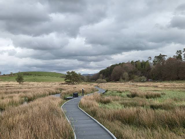
Explore the reserve’s upland paths through woodland, streams, heathland and moorland. There are no RSPB trails, so plan your route using an Ordnance Survey map and account for rugged, uneven terrain.
Watch and listen for wildlife
Look for red squirrels in trees, ring ouzels over the hills, salmon in rivers and mountain ringlet butterflies among alpine wildflowers. Sightings are not guaranteed.
Notice the restoration landscape
Observe how woodland, rivers, moorland, farmland and wildflower meadows form part of a landscape restoration partnership focused on wildlife, water and people.
Make a day of it
Quick escape · 1–2 hours
Quick escape: explore from Mardale Head
- 01
Start from the main visitor car park at Mardale Head.
- 02
Use an Ordnance Survey map to choose a suitable section of public right of way.
- 03
Turn back when conditions, time or the terrain make it sensible; paths can be steep and uneven.
Verified history
Wild Haweswater is a landscape restoration partnership between the RSPB and United Utilities in the eastern Lake District National Park. The supplied sources describe work including sustainable farming, tree nursery development and habitat restoration. They do not establish the source row’s account of villages submerged during reservoir construction, so that history is not included here.
Hidden details
A working restoration partnership — This is not just a scenic reserve: the RSPB and United Utilities describe work connecting wildlife, water and people across a large landscape that includes farms, woodland, rivers and moorland.
When to go
April · May · June · September · October · Choose a clear-weather period and allow time for a careful walk; no specific time of day is established by the supplied sources.
The source row identifies April to September as a favourable period, with spring and early summer bringing wildflowers and birdlife. The RSPB also highlights alpine wildflowers and wildlife, while the source row notes autumn colour. Mountain weather can change quickly, including in summer.
Check the forecast before setting out. Conditions can change rapidly; bring waterproofs and suitable clothing. Paths are steep, rugged and very uneven.
What to look for
Look for red squirrels in the trees, ring ouzels over the hills, salmon in the rivers and mountain ringlet butterflies among alpine wildflowers. Wildlife sightings are not guaranteed.
The story
Landscape restoration; reservoir-side landscape
Best time to go
Spring and early summer for wildflowers and birdlife; autumn for changing colours. Conditions can be challenging in any season.
Spring and early summer bring wildflowers and abundant birdlife; autumn offers changing foliage. Choose a clear, settled forecast where possible, and expect changeable mountain weather.
How long to spend
Half day
Perfect for
Walkers · Wildlife lovers · Photographers
Practical information
Opening & access
Explore public rights of way across the reserve. The terrain is steep, rugged and uneven; bring a map and sturdy footwear. Check current conditions before setting out.
Check before visiting
Parking
Main visitor car park at Mardale Head, at the southern end of Haweswater Reservoir. The approach follows a winding road along the reservoir; check current parking information before travelling.
Check before visiting
Toilets
No public toilets at the site; the nearest public toilets are reported to be in Shap, around ten miles away. Check before visiting.
Check before visiting
Food & drink
No café at the site. Bring food and water; check current options before travelling.
Check before visiting
Dogs
Dogs are welcome on public rights of way. Keep them under close control, and on leads during bird-nesting season, around ground-resting birds and around livestock.
Accessibility
The upland landscape is steep and rugged, with very uneven terrain, and paths can be demanding. Some paths are described in the source row as suitable for sturdy pushchairs, but wheelchair access is not supported by the available evidence. Check before visiting.
Check before visiting
Cost
Check before visiting
Check before visiting
Water
Reservoir, rivers and streams; no swimming or paddling permission established.
Gallery
Place photographsKeep exploring
Around Wild Haweswater
Within 50 km · approximate straight-line distances