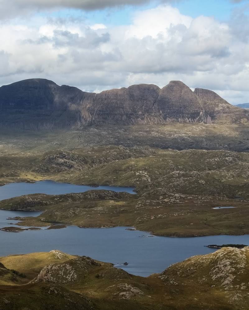
Assynt, near Lochinver, Sutherland, Scottish Highlands. The source row gives the address as Lairg IV27 4LR
Suilven
Viewpoint
Place photograph
7.7
Wildland
Full day
Time
Check
Cost
Dramatic
Feel
Why it's Wildland
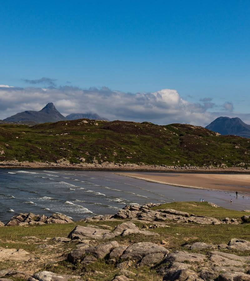
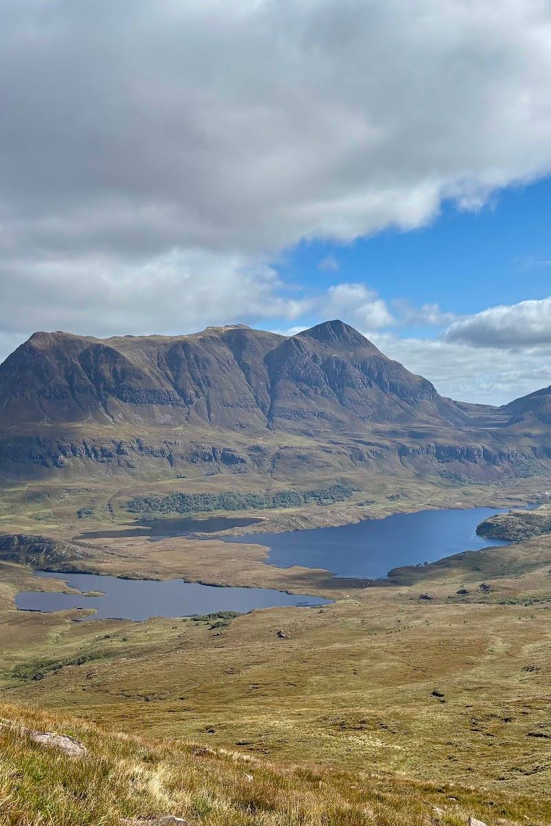
7.7Suilven rises distinctly above Assynt’s moorland, lochans and bogs. Its three summits culminate at Caisteal Liath, reached by a demanding walk that trades a long approach for broad Highland views.
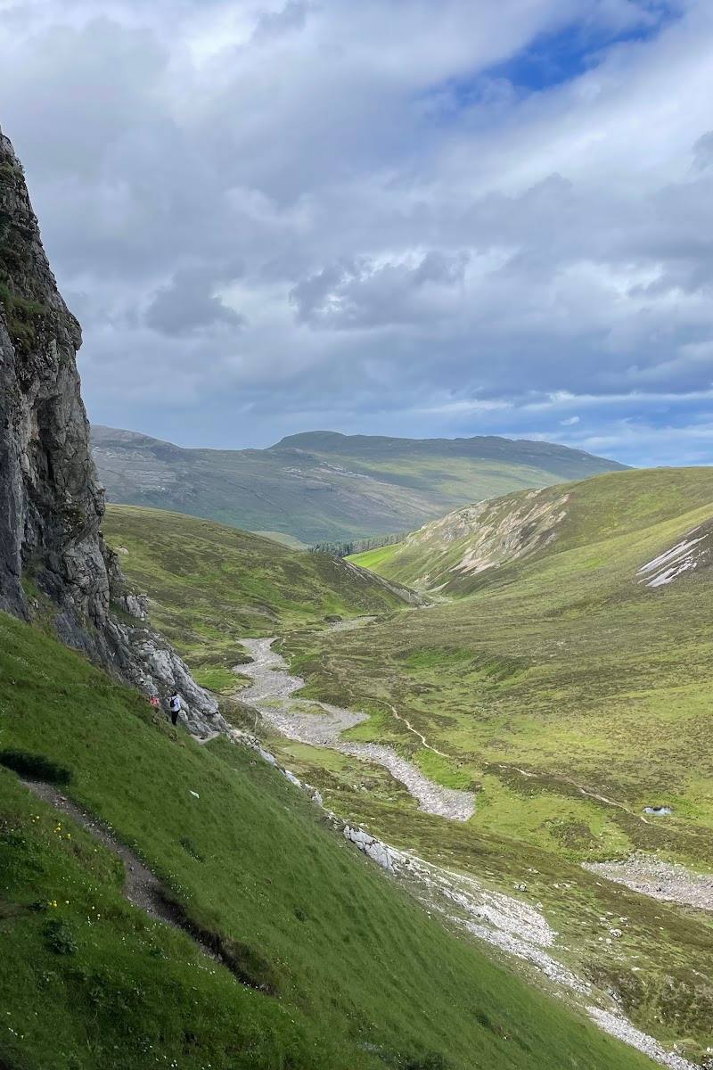
Suilven’s isolated profile is only part of the draw: reaching its summit means crossing open Assynt terrain, passing lochans and a stream, then climbing a steep gully and ridge. It is a serious hill day, not a quick roadside viewpoint.
Dramatic · Wild · Remote
Find your way
Open mapAssynt, near Lochinver, Sutherland, Scottish Highlands. The source row gives the address as Lairg IV27 4LR
Opening map…
Know this place a little better?
The experience
Plan a full hill day rather than a short stop. The described out-and-back route crosses rough tracks and moorland, passes a stream and lochans, and finishes with a steep ascent and some scrambling. Go only with suitable preparation and conditions.
Things to do
Walk the out-and-back route to Suilven
A demanding hill day from the end of the public road near Glencanisp Lodge. The route source describes rough tracks, moorland, a stream crossing, a steep gully and minor scrambling near the summit. Check current route and conditions before setting out.
6–8.5 hours
Pause at the route’s lochans and stream
The described approach passes the Abhainn na Clach Airigh and Loch a’ Choire Dhuibh. Treat boggy ground carefully and stay on the route where practicable.
Look across the three summits
From the ridge and summit area, identify Caisteal Liath, Meall Meadhonach and Meall Beag; the route source identifies Caisteal Liath as the highest point.
Make a day of it
Quick escape · 6–8.5 hours
Reach the summit and return
- 01
Start at the end of the public road from Lochinver towards Glencanisp Lodge, after confirming current access and parking.
- 02
Follow the described route across rough tracks and moorland, passing the stream and Loch a’ Choire Dhuibh.
- 03
Climb the steep gully and ridge to Caisteal Liath, then retrace your steps.
When to go
May · June · July · August · September · October · Start early enough to allow a full day on the hill; confirm daylight, forecast and route conditions before departure.
The route source recommends May–October. No more precise seasonal advantage is established in the supplied evidence.
Mountain weather and visibility can change; check a current forecast and conditions before setting out. The route is steep and includes some scrambling.
The route
- ascent
- 947 m total elevation gain as measured by the route source
- surface
- Rough tracks, ATV track and open moorland; a precise full-route surface breakdown is not provided.
- distance
- 20 km return
- duration
- 6–8.5 hours
- difficulty
- Hard; strenuous, with steep ascents and minor scrambling
- waymarking
- Average, according to the route source
- route shape
- Out and back
- start point
- End of the public road from Lochinver towards Glencanisp Lodge; confirm current access and start arrangements.
- parking start
- Parking is described as limited near the start; check current arrangements.
- Suilven’s three summits, including Caisteal Liath
- Views across Assynt
- Stream and lochans along the approach
- Steep gully and ridge ascent
What to look for
- 01
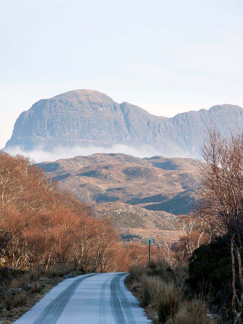
Notice the changing profile of Suilven as you approach
- 02
the route source identifies three summits—Caisteal Liath, Meall Meadhonach and Meall Beag—and describes a drystone dyke on the ridge.
The story
A drystone dyke on the described route is said by one source to be believed to date from the potato famine period; treat this attribution as unverified.
Best time to go
May–October, as suggested by the route source; check weather and ground conditions before attempting the walk.
The route source recommends May–October. Choose a clear, settled forecast for better visibility, but check current mountain weather and ground conditions rather than relying on the season alone.
How long to spend
Full day
Perfect for
Walkers · Photographers
Before you go
Address
Google rating
Practical information
Opening & access
The summit is reached by a long, strenuous hill walk with steep ground and some scrambling. The route source describes an out-and-back walk from the end of the public road towards Glencanisp Lodge. Check current access, conditions and route guidance before visiting; do not assume vehicle access or parking availability.
Check before visiting
Parking
Parking is described as limited near the route start at the end of the public road from Lochinver towards Glencanisp Lodge. Confirm current arrangements before travel.
Toilets
Check before visiting
Check before visiting
Food & drink
Check before visiting
Check before visiting
Dogs
One route source says dogs are allowed on a lead; check current local guidance and livestock conditions.
Check before visiting
Accessibility
A strenuous, long-distance hill walk with steep ascents and minor scrambling; unsuitable for visitors seeking an easy or short walk. Conditions can make progress harder. Check a current forecast and trusted route guidance.
Check before visiting
Cost
Check before visiting
Check before visiting
Water
Lochans and a stream are described along the walking route. No swimming or paddling permission is evidenced.
Gallery
Place photographs
Keep exploring
Around Suilven
Within 50 km · approximate straight-line distances
 Place photograph8.2
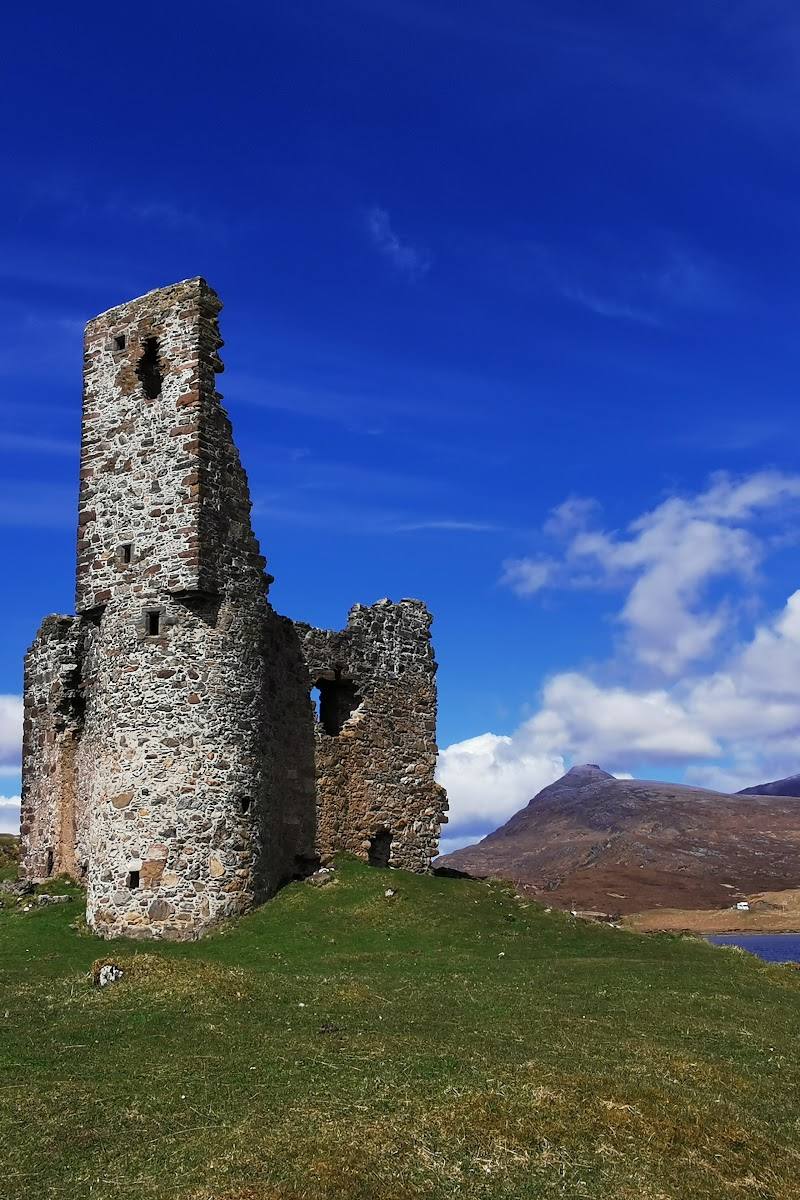
Ardvreck Castle
Loch Assynt, near Lairg, Sutherland, Scottish Highlands
11.0 km away
 Place photograph6.0
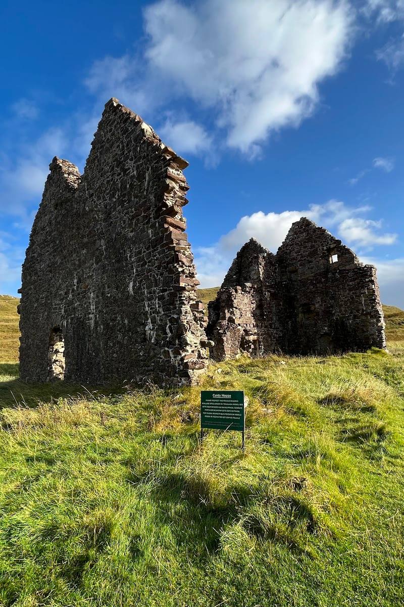
Calda House
On the A837 beside Loch Assynt, near Inchnadamph, Sutherland
11.2 km away