Morar, near Mallaig, Lochaber, Scottish Highlands
Silver Sands of Morar
Beach
Place photograph
7.0
Wildland
1–2 hours
Time
Check
Cost
Dramatic
Feel
Why it's Wildland
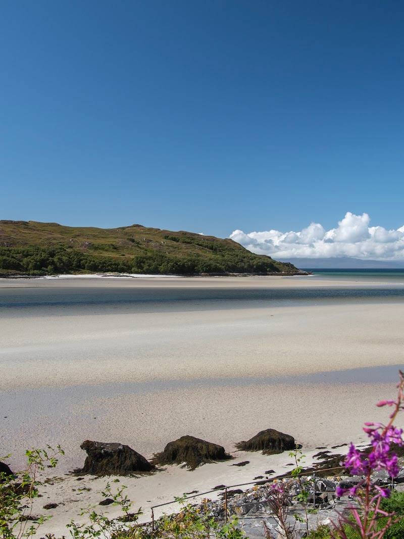
7.0At Morar, pale rippled sand meets the River Morar where it leaves Loch Morar for the sea. The beach changes markedly with the tide: low water opens broad flats, while at high water the sea reaches close to the coast.
This is a beach visit shaped by more than its pale sand: the River Morar meets the sea here, the shoreline changes with the tide, and the wider coast is backed by rare machair grassland. It earns its place for that meeting of beach, river and sensitive coastal habitat; plan around the tide rather than treating it as a fixed stretch of shore.
Dramatic · Big-sky · Wild
Find your way
Open mapMorar, near Mallaig, Lochaber, Scottish Highlands
Opening map…
Know this place a little better?
The experience
Come for the beach and its changing shoreline, then look for the River Morar’s meeting with the sea. Tide timing matters: some approaches are covered at high water. A separately published route describes a longer circuit from Morar that includes the coast, river and old bridge, but check its current status before relying on it.
Things to do
Walk the exposed sand flats
At low tide, explore the broad flats of pale, rippled sand. Check tide times and leave enough time to return before the water covers your chosen access.
Check tide and conditions
Find the River Morar’s meeting with the sea
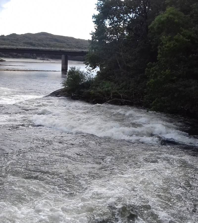
Look for the river mouth, where the freshwater river reaches the shoreline. A supplied walk guide describes a striking contrast between river water and sea.
Look for summer machair flowers
The guide identifies machair behind the beaches and names summer flowers including red clover, buttercup, eyebright, harebell and orchids. Keep to durable ground and avoid damaging this sensitive habitat.
Make a day of it
Quick escape · 1–2 hours
Quick escape: beach and river mouth
- 01
Check the tide and current access information before travelling.
- 02
Use a confirmed beach access point and walk the available stretch of shore.
- 03
Look for the River Morar where it meets the sea, then return by your access route.
Half day · Half day
Make a half day of it: follow the coast
- 01
Plan around the tide and start from a confirmed beach access point.
- 02
Explore the Silver Sands and pause at the River Morar mouth.
- 03
If conditions and access allow, extend your outing using the published coastal route information; check route status before setting off.
Folklore & legend
The supplied guide says Loch Morar has a local monster legend, Morag. This is folklore, not a verified historical or natural-history claim; it concerns the loch rather than a documented feature of the beach.
Hidden details
A beach with two tidal faces — The shoreline changes substantially over the tidal cycle: low water reveals wide sand flats, while high water brings the sea close to the coast. Check tide times before choosing an access point.
Fragile machair behind the shore — The supplied guide describes machair as a sensitive coastal grassland habitat and notes summer flowers including orchids. Keep off the fragile grassland where possible.
When to go
June · July · August · Plan around the tide rather than a particular time of day; check current tide times and beach access.
The supplied guide identifies summer as the season when machair flowers, and says July and August are the busiest months at the Silver Sands.
Check the forecast and tide times before travelling. The supplied sources do not provide a beach-specific weather or safety forecast.
The route
- ascent
- 209 ft for the AllTrails loop; not specified for the Wildpack Collective route.
- surface
- AllTrails describes its loop as mostly paved, with some unknown surface and steps. The Wildpack Collective route includes a hillside path and beach; surface details are not fully specified.
- distance
- 9.0 km (5.6 miles) for the Mallaig-to-Morar route described by Wildpack Collective; AllTrails separately describes a 2.4-mile loop. These are different route descriptions and should not be conflated.
- duration
- The Wildpack Collective route is listed as 3 hours; the AllTrails loop is estimated at 0.5–1 hour.
- difficulty
- Easy, according to the supplied route listings.
- route shape
- The Wildpack Collective describes an out-and-back route; AllTrails describes a loop.
- start point
- Morar village / near Morar railway station, depending on the route described.
- parking start
- A guide describes Morar Beach Car Park and other small parking areas. Check current parking, charges and route access before setting out.
- shorter alternative
- A shorter beach visit is possible by walking a section of shore from a confirmed access point; choose the stretch according to tide and conditions.
- The Silver Sands and changing tidal shoreline
- The River Morar mouth
- Morar Old Bridge on the AllTrails route
Worth pairing with
Morar village and the River Morar
Pair the beach with the nearby river landscape; a supplied walk description includes the River Morar and Morar Old Bridge. Confirm route conditions and access before setting out.
Mallaig
The supplied walk guide describes Mallaig as reachable on foot or by local train from Morar and mentions cafés and fish-and-chip shops there. Check current transport and business details.
What to look for
Notice the pale, rippled sand at low tide and the changing line of the water as the tide comes in. Find where the River Morar reaches the sea, and look for flowering machair in summer without trampling the fragile grassland.
Best time to go
Summer for machair flowers; visit outside July and August if you would prefer to avoid the busiest beach season.
Choose the tide to suit your visit: low tide exposes broad sand flats, while some access points may be covered at high tide. The supplied guide identifies July and August as the busiest months and summer as the machair-flowering season.
How long to spend
1–2 hours
Perfect for
Walkers · Photographers · Wildlife lovers · Couples
Before you go
Address
Practical information
Opening & access
A tidal beach at the mouth of the River Morar. The supplied guide describes beach access from small parking areas beside the coast road and a separate paid car park. Some access points are covered at high tide; check tides and current access conditions before setting out. The source row marks a Google listing as permanently closed, but does not establish that the beach itself is closed.
Check before visiting
Parking
The supplied guide describes small free parking areas beside the road and a separate paid Morar Beach Car Park with toilets. Parking can be busy in July and August; roadside parking is mostly prohibited. Check current arrangements before travelling.
Check before visiting
Toilets
The supplied guide reports public toilets at the Silver Sands. Check before visiting.
Check before visiting
Food & drink
Check before visiting. The supplied guide mentions cafés and fish-and-chip shops in Mallaig, but does not confirm current opening.
Check before visiting
Dogs
One supplied walk guide describes the beach route as dog-friendly. Check current local guidance and keep dogs under control around other visitors and wildlife.
Check before visiting
Accessibility
Access and available paths vary with the tide and entry point. One guide describes a north-side access point usable only at low tide; check tide times and current conditions before choosing an approach.
Check before visiting
Cost
Check before visiting
Check before visiting
Water
Sea and the mouth of the River Morar
Gallery
Place photographs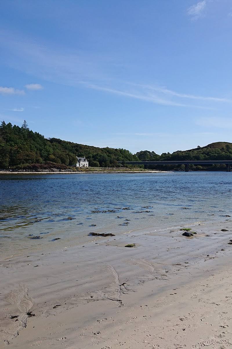
Keep exploring
Around Silver Sands of Morar
Within 50 km · approximate straight-line distances
 Place photograph8.0
Point of Sleat Walk
Aird of Sleat, Sleat Peninsula, Isle of Skye, Highland
13.0 km away

 Place photograph8.4
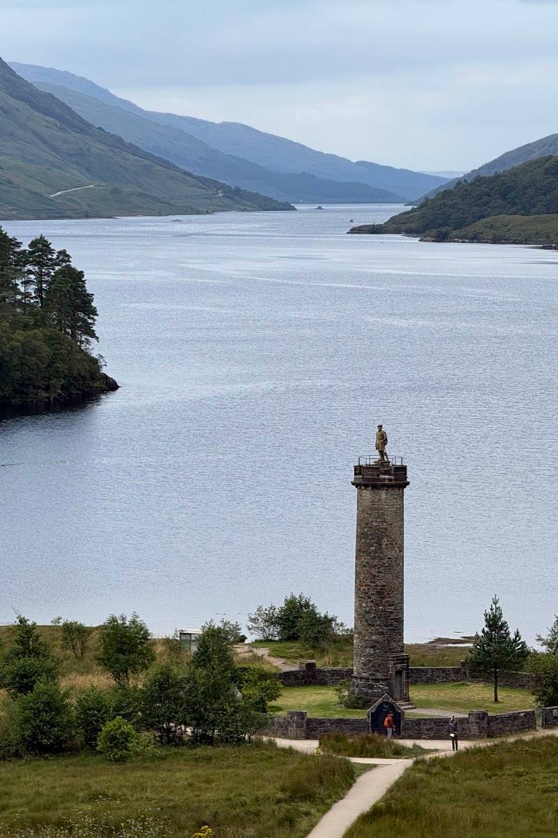
Glenfinnan Monument (National Trust for Scotland)
Glenfinnan, Lochaber, Scottish Highlands
26.1 km away