Somerford Way, London SE16 6QW
Russia Dock Woodland
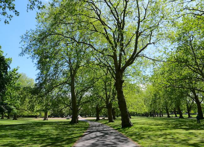
Broadleaf woodland
Source image
5.4
Wildland
1–2 hours
Time
Check
Cost
Peaceful
Feel
Why it's Wildland
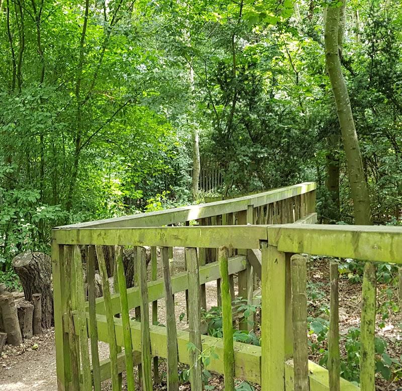
5.4A former timber-importing dock has become a narrow green corridor of woodland, ponds and open spaces, with the old dock’s retaining-wall capstones and mooring chains still visible.
Its appeal lies in the meeting of two landscapes: waterside woodland and the industrial traces of the former Russia Dock. Follow the paths to Stave Hill for a change of perspective, then look for the dock’s surviving capstones and mooring chains.
Peaceful · Quirky
Find your way
Open mapSomerford Way, London SE16 6QW
Opening map…
Know this place a little better?
The experience
Walk the woodland and Stave Hill circuit, pause by the ponds and channels, and climb the artificial mound to see the bronze relief map of the former docks. The route and surfaced sections are described by AllTrails; expect some rougher ground.
Things to do
Walk the woodland and Stave Hill circuit
Follow the loop through Russia Dock Woodland and Stave Hill Ecology Park. AllTrails describes a one-mile route with a viewpoint from the artificial mound; take care on rougher sections, especially when wet.
30–60 minutes
Find the dock’s surviving traces
Look for retaining-wall capstones and mooring chains, surviving features of the former Russia Dock.
See the former docks in relief
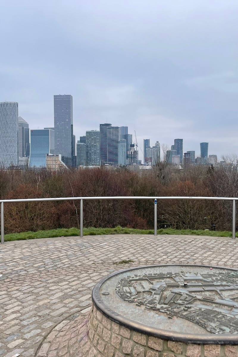
At the top of Stave Hill, find the cast-bronze relief map of the former docks, made by Michael Rizzello.
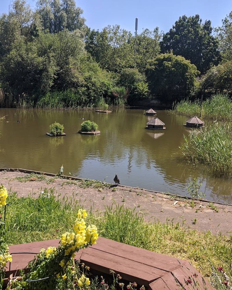
Pause by the ponds and channels
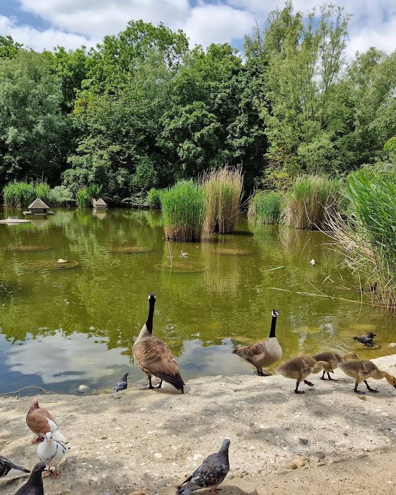
Take time to watch the water. Southwark Council identifies the woodland’s ponds and channels as habitat for kingfishers and herons; sightings are not guaranteed.
Take a picnic break
Southwark Council lists a picnic area and several picnic spots within the woodland.
Make a day of it
Quick escape · 30–60 minutes
Quick Escape: Woodland and Stave Hill
- 01
Enter from Redriff Road or Downtown Road.
- 02
Follow a short section of the shared pedestrian route through the woodland.
- 03
Continue to Stave Hill and see the bronze relief map at its summit.
- 04
Return by the route you came; check conditions where the path is rough.
Half day · 2–3 hours
Make a Half Day of It: Woodland, ponds and dockside traces
- 01
Start at one of the council-listed entrances on Redriff Road or Downtown Road.
- 02
Explore the woodland paths and pause by the ponds and water channels; watch quietly for birds.
- 03
Walk up Stave Hill to see the bronze relief map and take in the views on a clear day.
- 04
Look for surviving retaining-wall capstones and mooring chains as reminders of the former dock.
- 05
Use the listed picnic area for a break, or check locally for food options.
Verified history
Russia Dock was used to import timber from Norway, Russia and Sweden. After the Rotherhithe docks closed in the 1970s, the peninsula was redeveloped. In 1980, the former dock was transformed into a native grass area for recreation. Surviving dock features include retaining-wall capstones and mooring chains. In 1985, waste material and rubble were used to create Stave Hill. A bronze relief map of the former docks stands at its summit.
Hidden details
Mooring chains and dock capstones — Look for these surviving features of the former timber-importing dock among the woodland landscape.
A map underfoot at Stave Hill — The summit has a cast-bronze relief map of the former docks, made by Michael Rizzello.
When to go
· Choose a clear day for views from Stave Hill; no preferred time of day is established.
The supplied sources do not identify a seasonal peak. Clear weather is recommended by the route source for views from the hill.
AllTrails advises appropriate footwear and care on rougher sections, especially in wet conditions.
The route
- ascent
- 32 ft
- surface
- Partly paved; some rougher sections
- distance
- 1 mile
- duration
- 30–60 minutes
- difficulty
- Easy
- route shape
- Loop
- start point
- AllTrails describes a Russia Dock Woodland and Stave Hill Ecology Park loop. Exact start point not specified.
- parking start
- Check before visiting; the supplied sources do not verify parking.
- shorter alternative
- Use a shorter out-and-back section of the woodland path; no measured alternative is supplied.
- Stave Hill viewpoint
- Globe Pond
- Woodland paths and water channels
What to look for
- 01
The surviving dock retaining-wall capstones and mooring chains
- 02
the cast-bronze relief map of the former docks at the top of Stave Hill
- 03
and ponds and channels that Southwark Council identifies as habitat for kingfishers and herons.
The story
Docklands history and industrial heritage
Best time to go
Year-round; for clearer views from Stave Hill, choose a clear day.
Any season can work. A clear day is best for the views from Stave Hill; check conditions before setting out, as some sections may be rough.
How long to spend
1–2 hours
Perfect for
Walkers · Families · Wildlife lovers · Photographers · Dogs
Before you go
Address
Website
Listed hours
- Monday: Open 24 hours
- Tuesday: Open 24 hours
- Wednesday: Open 24 hours
- Thursday: Open 24 hours
- Friday: Open 24 hours
- Saturday: Open 24 hours
- Sunday: Open 24 hours
Check before visiting.
Google rating
Practical information
Opening & access
Southwark Council lists entrances at Redriff Road and Downtown Road. Check current access information before visiting.
Check before visiting
Parking
Check before visiting. Southwark Council lists Canada Water station and buses 381 and C10 as public-transport options.
Check before visiting
Toilets
Check before visiting.
Check before visiting
Food & drink
Check before visiting. The council lists picnic areas; no café is confirmed.
Check before visiting
Dogs
Check current rules and signage before visiting.
Check before visiting
Accessibility
A shared pedestrian and cycle route is listed by Southwark Council. AllTrails describes its circuit as partly paved, with rougher sections; check route conditions and access suitability before visiting.
Check before visiting
Cost
Check before visiting
Check before visiting
Water
Ponds and water channels; no swimming or paddling permission is established.
Gallery
Place photographsKeep exploring
Around Russia Dock Woodland
Within 50 km · approximate straight-line distances