6.1
Wildland
1–2 hours
Time
Check
Cost
Atmospheric
Feel
Why it's Wildland
6.1Riddlesdown’s open downland holds traces of changing use: a road believed to have Roman origins, a Scheduled Ancient Monument ditch and undated banks and ditches. Its chalk pits also tell a more recent industrial story.
Riddlesdown is more than a former chalk quarry: its downland preserves a Roman-road tradition, an ancient boundary ditch and subtle earthworks that can be easy to miss. The appeal is in reading the landscape, not expecting a furnished heritage site.
Atmospheric · Quiet
Find your way
Open mapRiddlesdown, Purley, CR6 9AT
Opening map…
Know this place a little better?
The experience
A short downland wander with a heritage focus. The supplied sources describe a walk past the quarry and identify earthworks, a former road and the site’s chalk-pit history; they do not establish a waymarked heritage circuit.
Things to do
Look for the Scheduled Ancient Monument ditch
The City of London Corporation identifies a deep ditch along Riddlesdown’s north-western boundary as a Scheduled Ancient Monument. The supplied source links it to early human activity but does not give a precise date.
Find the bank and ditch below Honister Heights
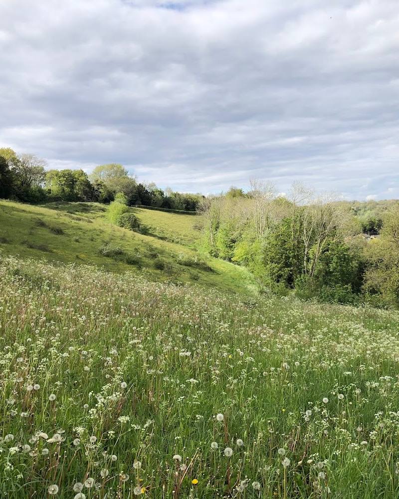
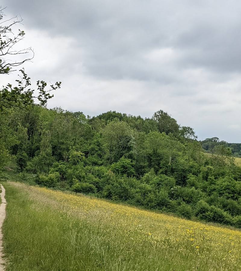
A 60-metre bank and ditch in a grazing area can be hard to spot. The City of London Corporation says it stands out when the grass is short and sunlight falls at an angle.
Follow the former road across the site
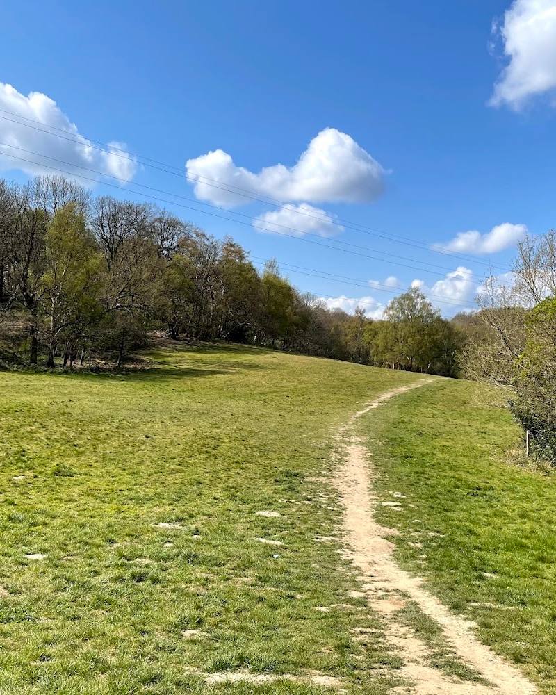
The heritage account says a former road through the site is believed to have Roman origins. It remained in use by vehicles into the 1970s and is now used on foot, by bike and on horseback, according to the source.
Notice the former chalk pits
The City of London Corporation recounts the danger posed by two chalk pits near Godstone Road when it bought Riddlesdown in 1883. Keep to safe, permitted paths; the source does not specify current quarry access conditions.
Make a day of it
Quick escape · About 40 minutes for a very leisurely walk across Riddlesdown Common, according to the local residents’ association; this is not a verified quarry-only circuit.
A short heritage wander
- 01
Start from the car park at the end of Riddlesdown Road, after checking current parking arrangements.
- 02
Walk across the common towards Hamsey Green, or follow the described alternative past the quarry towards Whyteleafe.
- 03
Look for the quarry and the subtle banks and ditches; do not approach quarry hazards or leave open paths.
Half day · Half day; suggested, not a verified measured route.
Make time to read the landscape
- 01
Begin with the common walk described by the local residents’ association, choosing the quarry-side option towards Whyteleafe if appropriate.
- 02
Pause to look for the old road through the site and the Scheduled Ancient Monument ditch on the north-western boundary.
- 03
In short grass and slanting light, look for the bank and ditch below Honister Heights.
- 04
Check current access, parking and conditions before setting out; the sources do not provide a complete heritage route or facilities information.
Verified history
Riddlesdown was used mainly as pasture and grazed downland for much of its history, apart from Coombes Wood. The City of London Corporation says a former road through the site is believed to have Roman origins and remained open to vehicles into the 1970s. Its heritage account describes a deep ditch on the north-western boundary as a Scheduled Ancient Monument and says the wider area is an Archaeological Priority Zone because of trackways, causeways, depressions and possible traces of Iron Age fields. The City of London Corporation bought Riddlesdown in 1883; its account also records concerns about two chalk pits and the death of a child before fencing was installed that year. The source excerpt does not establish a date for the earthworks or prove the Roman-road attribution.
Folklore & legend
The City of London Corporation’s heritage page mentions stories of secret passages under the downs, but the supplied material does not verify them. Treat these as local stories, not established history.
Hidden details
A subtle grassland earthwork — Below Honister Heights, look for a bank and ditch about 60 metres long. It may be most visible when grass is short and sunlight falls obliquely. The source says the feature is undated and notes that some people attribute such tracks to cattle movement; neither explanation is confirmed.
The former road’s uncertain Roman connection — A route through the middle of the site is believed to be Roman in origin, but the City of London Corporation presents this as a belief, not a confirmed date. The road remained in vehicle use into the 1970s.
A ditch with protected status — The north-western boundary ditch is identified by the City of London Corporation as a Scheduled Ancient Monument. The supplied source does not state its date or identify its original function.
When to go
· Clear light with the sun at an angle may help reveal some grassland earthworks; no specific time is confirmed.
The City of London Corporation says short grass and slanting sunlight make one bank and ditch stand out. The sources do not establish a reliable month-by-month season.
Check conditions before visiting. No specific weather or path-condition guidance is supplied.
The route
- duration
- About 40 minutes for a very leisurely walk across Riddlesdown Common, as reported by the local residents’ association; no measured distance supplied.
- route shape
- The source describes a one-way walk from the end of Riddlesdown Road to Hamsey Green, or an alternative past the quarry towards Whyteleafe; it does not establish a circular route.
- start point
- Car park at the end of Riddlesdown Road, according to the local residents’ association; verify current details.
- parking start
- The residents’ association reports a car park at the end of Riddlesdown Road and says charges apply. The supplied Google Maps pin is the main-place pin, not a parking pin.
- Quarry-side walk option
- Former road believed to have Roman origins
- Scheduled Ancient Monument boundary ditch
- Grassland bank and ditch below Honister Heights
Worth pairing with
Kenley Common and Kenley Airfield
The local residents’ association suggests crossing the A22 from the Riddlesdown area to Kenley Common. Its page describes WWII fighter pens and the airfield’s history; treat this as a separate outing and check current access and route details.
What to look for
- 01
Look for the north-western boundary ditch, protected as a Scheduled Ancient Monument
- 02
the low bank and ditch in the grazing area below Honister Heights
- 03
and the line of the former road through the site. The City of London Corporation notes that short grass and slanting light can help reveal the subtle earthworks.
The story
Archaeology; former chalk extraction; a road believed to have Roman origins
Best time to go
Spring to early summer, when shorter grass and slanting light may make some earthworks easier to discern; exact conditions vary.
Try a clear spring or early-summer day. The City of London Corporation says one grassland bank and ditch is easiest to see when the grass is short and the light falls at an angle.
How long to spend
1–2 hours
Perfect for
Walkers · History lovers · Photographers
Before you go
Practical information
Opening & access
A local residents’ association describes a walk across Riddlesdown Common that passes the quarry. Confirm current access and any restrictions before visiting.
Parking
A residents’ association reports a car park at the end of Riddlesdown Road and says charges apply. Check current arrangements before travelling; the supplied map pin is not a parking location.
Check before visiting
Toilets
Check before visiting
Check before visiting
Food & drink
Check before visiting
Check before visiting
Dogs
Check before visiting
Check before visiting
Accessibility
The source record reports that the entrance is not wheelchair accessible. Other accessibility details are not established; check before visiting.
Check before visiting
Cost
Check before visiting
Check before visiting
Gallery
Place photographs
Keep exploring
Around Riddlesdown Quarry
Within 50 km · approximate straight-line distances