Pontesford, Shropshire, near Shrewsbury
Earl’s and Pontesford Hill
Mixed-habitat reserve
Place photograph
6.6
Wildland
1–2 hours, Half day
Time
Free
Cost
Peaceful
Feel
Why it's Wildland
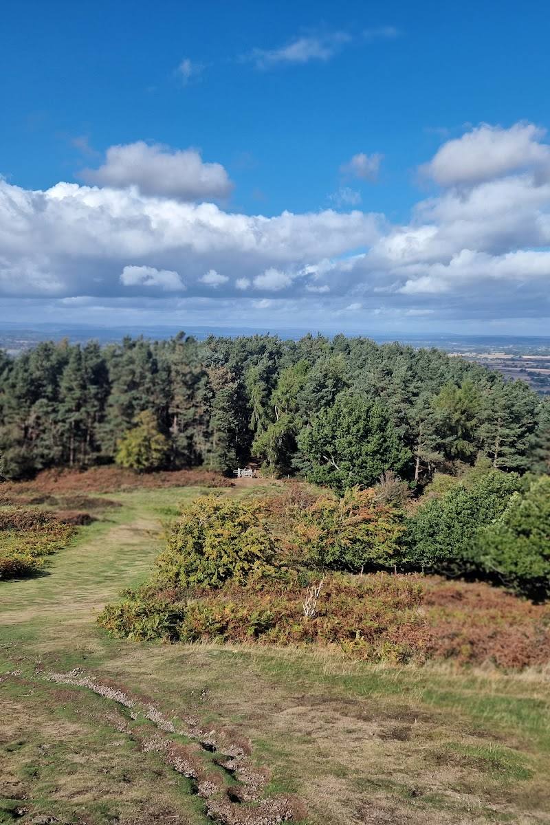
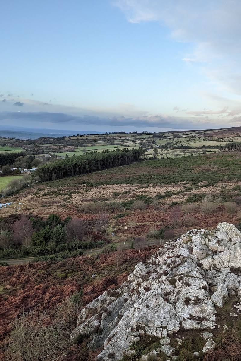
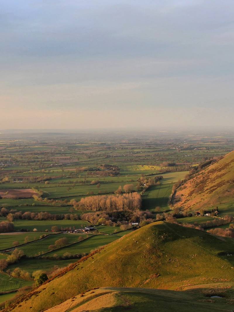
6.6Twin volcanic hills rise above woodland and flower-rich meadows, with an Iron Age hillfort on Earl’s Hill and broad views across the Shropshire landscape.
This reserve packs volcanic hills, woodland, flower-rich meadows and an Iron Age hillfort into a compact landscape. Waymarked paths let you choose between a gentler contouring route and a steeper climb to the summit.
Peaceful · Wild · Big-sky
Find your way
Open mapPontesford, Shropshire, near Shrewsbury
Opening map…
Know this place a little better?
The experience
Explore a 46-hectare reserve of hills, woodland and flower-rich meadows. Follow the easier green waymarkers around the hill or take the more demanding purple route towards Earl’s Hill summit and its hillfort.
Things to do
Follow the easier green waymarkers
Take the easier marked route around the hill. The paths pass through grazing pasture and woodland; conditions can vary across the reserve.
Take the purple-marked route towards the summit
Choose the more demanding waymarked route to reach the summit area and explore the Iron Age hillfort on Earl’s Hill.
Look for seasonal flowers and butterflies
In spring, look for bluebells in the woodland; in summer, the reserve’s flower-rich meadows include wild thyme and support butterflies.
Make a day of it
Quick escape · About 1–2 hours; exact route duration not stated by the source.
Quick Escape: the gentler hill circuit
- 01
Start from Pontesford Hill car park.
- 02
Follow the green waymarkers for the easier route around the hill.
- 03
Take in the woodland and open views, then return to the car park.
Half day · Half day; exact route duration not stated by the source.
Make a Half Day of It: climb to Earl’s Hill
- 01
Begin at Pontesford Hill car park and follow the purple waymarkers towards the summit.
- 02
Explore the hillfort on Earl’s Hill and pause for the views.
- 03
Return via the reserve’s marked paths, allowing extra time for steep, rocky or muddy sections.
Verified history
Earl’s Hill contains an Iron Age hillfort. Shropshire Wildlife Trust describes the reserve as having volcanic origins; its account says the Trust acquired Earl’s Hill in 1964 and added Pontesford Hill in 2016.
Folklore & legend
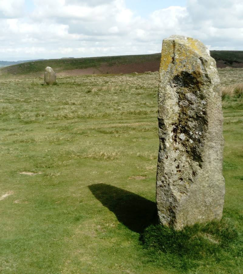
The Wildlife Trust says local people see the shape of a sleeping dragon in the hills. This is a local interpretation of the landscape’s outline, not a verified historical account.
Hidden details
The Iron Age hillfort — Look for the hillfort at the summit of Earl’s Hill, a prehistoric feature within the nature reserve.
The sleeping-dragon outline — From a suitable viewpoint, see whether you can make out the sleeping-dragon shape that local people associate with the hills.
When to go
April · May · June · July · No specific time of day is identified by the sources; choose a clear spell for views and check path conditions.
The reserve is described as an all-year destination. Spring brings bluebells; summer brings wild thyme in the meadows and butterfly interest.
Paths can become very muddy and slippery, and some are steep or rocky. Check conditions before setting out, particularly after rain.
The route
- stiles
- Gates and occasional stiles are present.
- surface
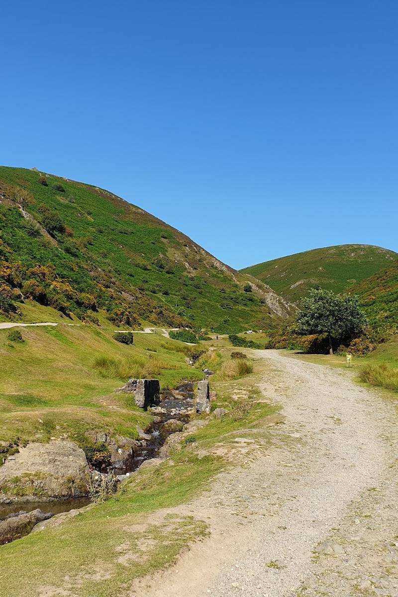
- Hard, stoned former forestry track at first, then rocky steps and paths that can be muddy.
- difficulty
- Two waymarked options: an easier green route and a more demanding purple route to the summit. The terrain is steep in places.
- waymarking
- Green signs mark the easier route; purple signs mark the more demanding summit route.
- route shape
- Routes around the hills; precise route shape not specified.
- start point
- Pontesford Hill car park, SY5 0UH.
- parking start
- The car park is approximately 500 yards down Pontesford Hill Road on the left, reached from the A488 beside Wynnstay County Store.
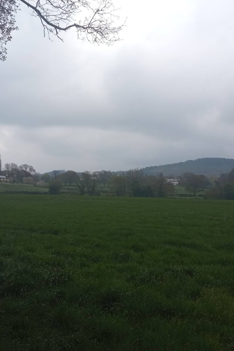
- Woodland and grazing pasture
- Views from the hills
- Iron Age hillfort on Earl’s Hill
- Seasonal bluebells and flower-rich meadows
What to look for
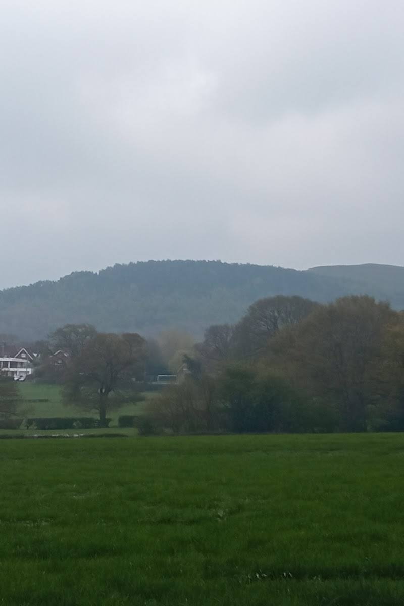
Look for the Iron Age hillfort on Earl’s Hill, the distinctive twin-humped outline of the hills, spring bluebells in the woodland and summer wild thyme in the meadows.
The story
Archaeology
Best time to go
All year; spring for bluebells and summer for wild thyme and butterflies.
Visit in spring for bluebells or in summer when wild thyme and butterflies add interest to the meadows. The reserve is listed as open all year; allow for muddy, steep paths after wet weather.
How long to spend
1–2 hours, Half day
Perfect for
Walkers · Wildlife lovers · Photographers · Dogs · History lovers
Before you go
Address
Practical information
Opening & access
Shropshire Wildlife Trust lists the reserve as open at all times, with free entry. Access is from Pontesford Hill car park; check current conditions before visiting. Paths include steep, rocky and potentially muddy sections.
Check before visiting
Parking
Pontesford Hill car park, SY5 0UH. The reserve advises turning off the A488 beside Wynnstay County Store; the car park is about 500 yards down Pontesford Hill Road on the left.
Toilets
Check before visiting
Check before visiting
Food & drink
Check before visiting
Check before visiting
Dogs
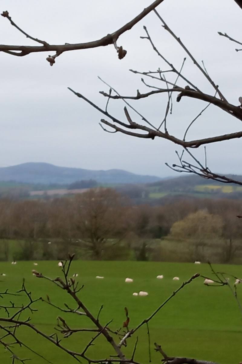
Dogs are permitted. Keep them on a lead where signs indicate grazing animals; sheep and cows may be present. A dog-waste bin is provided in the car park.
Accessibility
The reserve has a hard, stoned track at first, followed by rocky steps and muddy sections. The site is steep overall, though a route contours around both hills. Gates and occasional stiles are present; some paths can be slippery.
Cost
Free
Gallery
Place photographsKeep exploring
Around Earl’s and Pontesford Hill
Within 50 km · approximate straight-line distances