Stapeley Hill, near White Grit and Priest Weston, Shropshire SY15 6DE
Mitchell’s Fold Stone Circle
Prehistoric
Source image
7.0
Wildland
1–2 hours
Time
Free
Cost
Atmospheric
Feel
Why it's Wildland
7.0About 15 stones remain from a circle that English Heritage says once comprised around 30. Set on exposed Stapeley Hill, the stones are a modest monument in a landscape that feels much larger than the short approach suggests.
Mitchell’s Fold earns its place for the contrast between a short, simple approach and an exposed hilltop setting, where a surviving Bronze Age stone circle stands against wide Shropshire upland scenery. Come for the stones, but allow time to take in the weather and landscape around them.
Atmospheric · Wild · Remote
Find your way
Open mapStapeley Hill, near White Grit and Priest Weston, Shropshire SY15 6DE
Opening map…
Know this place a little better?
The experience
Allow around an hour or two for the return walk and time among the stones. The approach is about 300 metres from the parking area, but the hilltop is remote and exposed, and surfaces are uneven. Extend the visit into a longer moorland circuit only with a suitable route and current conditions checked.
Things to do
Walk to the stone circle
From the parking area at the end of the track, follow the track north-east over the hill brow for about 300 metres to the circle. Return the same way for a straightforward visit.
About 1 hour including time at the stones; estimate, not an official duration.
Take in the exposed hilltop setting
Spend time looking at the circle in its open moorland setting. English Heritage describes the site as remote and very exposed, and warns that weather on Stapeley Hill can change.
Make a day of it
Quick escape · About 1 hour; allow longer if you want time at the site.
Quick escape: the circle on Stapeley Hill
- 01
Park at the parking area at the end of the track; do not drive beyond the cattle grid onto the moorland.
- 02
Follow the track north-east over the hill brow for about 300 metres.
- 03
Explore the stone circle and take in its exposed hilltop setting, then return by the same track.
- 04
Dress for changeable weather and expect uneven surfaces.
Half day · About 2–2.5 hours for the reported 7.9 km loop; allow additional time for stops.
Make a half day of it: stones and moorland circuit
- 01
Use the reported circular route that visits Mitchell’s Fold and continues through Middleton, pasture and moorland, returning via Priest Weston.
- 02
Pause at the stone circle and look across the open hill landscape.
- 03
The route description reports some road walking and possible livestock; keep dogs on leads.
- 04
Check the route details and conditions before setting out, as the supplied route is third-party information.
Verified history
English Heritage describes Mitchell’s Fold as a Bronze Age stone circle on Stapeley Hill. It says the circle once consisted of around 30 stones, of which about 15 are still visible. The supplied sources do not establish a precise construction date or the circle’s original purpose.
Folklore & legend
English Heritage describes the stone circle as a focus of local legends, but the supplied official source excerpt does not identify or verify a particular story. Treat specific tales as folklore unless supported by further research.
Hidden details
About half the original stones remain — English Heritage says the circle once comprised around 30 stones and that about 15 are still visible. Look around the full circle rather than focusing only on its most prominent stones.
The approach crosses an exposed hill brow — The short approach is not simply a level path to a monument: English Heritage describes the route as crossing the hill brow and warns that Stapeley Hill is remote and very exposed, with changeable weather.
When to go
· Daylight hours; choose a settled-weather forecast because the hilltop is exposed.
The supplied sources give no preferred season or seasonal wildlife information. Weather and exposure are the practical considerations supported by the evidence.
English Heritage warns that conditions on Stapeley Hill can change and that the site is remote and very exposed. Bring suitable clothing and check the forecast.
The route
- ascent
- 225 m for the AllTrails circular route.
- surface
- English Heritage warns of uneven surfaces at the site. The supplied AllTrails description includes road walking, pasture and moorland.
- distance
- The direct approach is about 300 metres from the parking area, one way. A third-party circular route is reported as 7.9 km.
- duration
- About 2–2.5 hours for the reported circular route; route estimate is from AllTrails.
- difficulty
- Not stated by the official site. AllTrails labels its circular route Moderate.
- route shape
- Out and back to the stone circle from the parking area; alternatively, a reported 7.9 km loop via Middleton and Priest Weston.
- start point
- Parking area at the end of the track, according to English Heritage. The accepted Google Maps pin is for the main place, not a verified entrance or parking point.
- parking start
- English Heritage reports a parking area at the end of the track; cars are not permitted beyond the cattle grid onto the moorland.
- shorter alternative
- Walk from the parking area to the circle and return by the same track; the approach is about 300 metres each way.
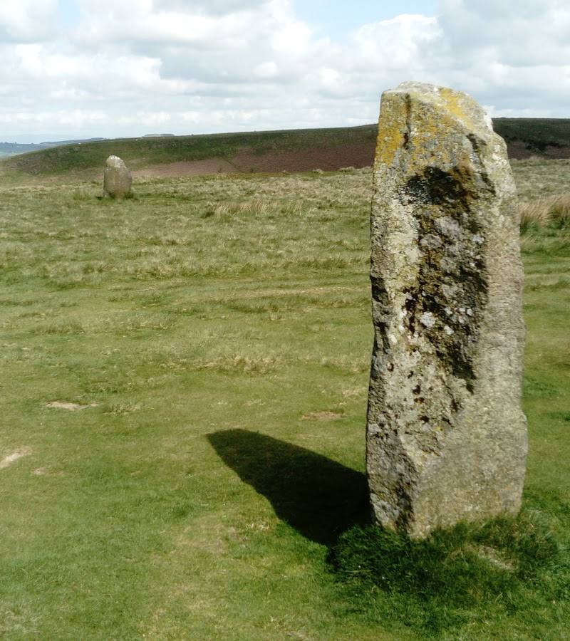
- The surviving stone circle, with about 15 stones visible according to English Heritage.
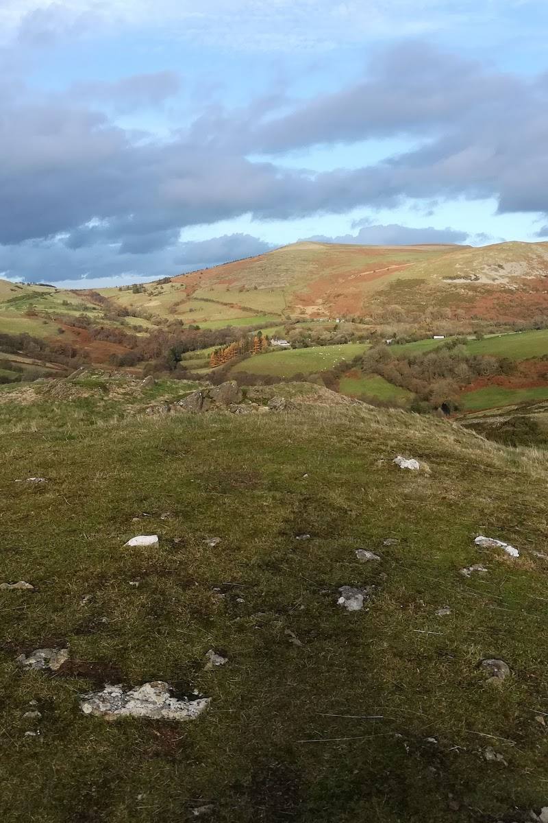
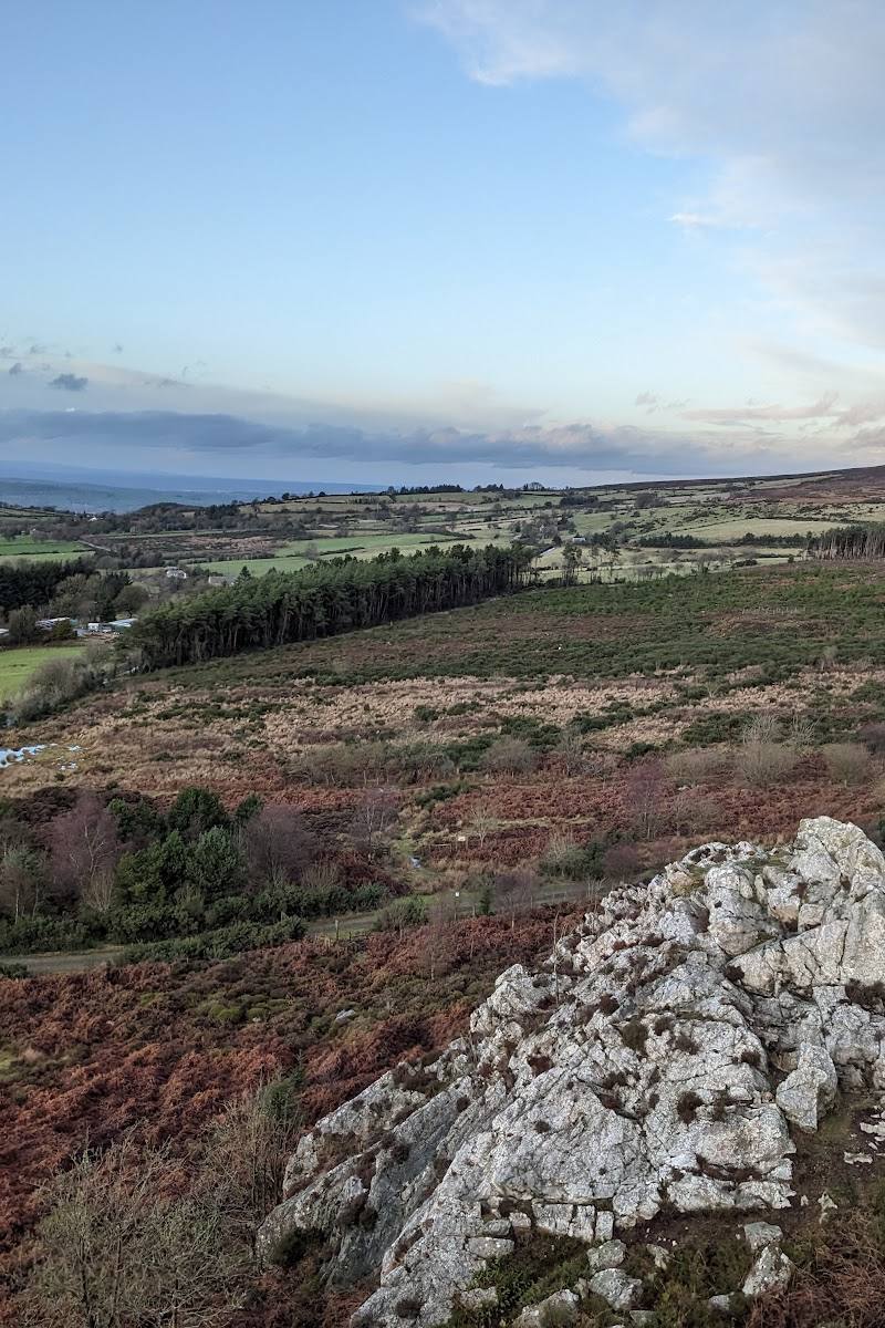
- Open, exposed hilltop setting on Stapeley Hill.
- The longer AllTrails loop is described as passing Middleton, pasture, moorland and Priest Weston.
Worth pairing with
Stokesay Castle
English Heritage lists Stokesay Castle about 13 miles away and describes its medieval fortified manor house and tearoom. It is a sourced option for extending the outing, but check current visitor information before travelling.
Clun Castle
English Heritage lists Clun Castle about 10.9 miles from Mitchell’s Fold as a nearby place. Check its current access information before making it part of a day out.
What to look for
Count the stones that remain, compare their different sizes and shapes, and notice how the circle sits on the open hilltop. English Heritage reports that about 15 of the original circle’s roughly 30 stones are still visible.
The story
Prehistoric archaeology; Bronze Age stone circle
Best time to go
No season is specifically identified by the supplied sources. Choose a clear, settled day for the exposed hilltop; check conditions before setting out.
Aim for daylight in settled weather, when the exposed hilltop is more comfortable to explore. English Heritage advises visitors to prepare for changeable conditions.
How long to spend
1–2 hours
Perfect for
Walkers · Photographers · History lovers
Before you go
Address
Phone
Website
Listed hours
- Monday: Open 24 hours
- Tuesday: Open 24 hours
- Wednesday: Open 24 hours
- Thursday: Open 24 hours
- Friday: Open 24 hours
- Saturday: Open 24 hours
- Sunday: Open 24 hours
Check before visiting.
Google rating
Practical information
Opening & access
English Heritage says the site is open at reasonable times during daylight hours and free to enter. From the parking area at the end of the track, follow the track north-east over the hill brow for about 300 metres. The site is remote and exposed, with uneven surfaces.
Parking
English Heritage reports a parking area at the end of the track. Cars are not permitted beyond the cattle grid onto the moorland. Parking cost is not stated.
Toilets
Check before visiting
Check before visiting
Food & drink
Check before visiting
Check before visiting
Dogs
Dogs should be kept on leads because livestock may be grazing near the stones.
Accessibility
English Heritage identifies uneven surfaces and a 300-metre track walk over the hill brow. Wheelchair and pushchair access details are not provided; check before visiting.
Check before visiting
Cost
Free
Gallery
Place photographsKeep exploring
Around Mitchell’s Fold Stone Circle
Within 50 km · approximate straight-line distances