Above Church Stretton, Shropshire, SY6 6JN
Caer Caradoc
Viewpoint
Place photograph
6.5
Wildland
Half day
Time
Check
Cost
Dramatic
Feel
Why it's Wildland
6.5A narrow volcanic ridge above Church Stretton, with an Iron Age hillfort on its summit and far-reaching views across the Shropshire Hills.
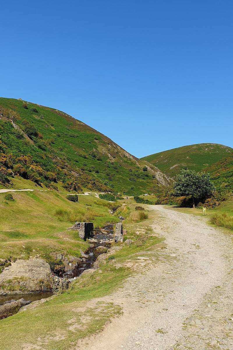
Caer Caradoc combines a demanding ridge-top walk, a summit hillfort and broad views over the Long Mynd, Wenlock Edge and the Wrekin. The climb makes the landscape part of the experience, rather than just a backdrop.
Dramatic · Wild
Find your way
Open mapAbove Church Stretton, Shropshire, SY6 6JN
Opening map…
Know this place a little better?
The experience
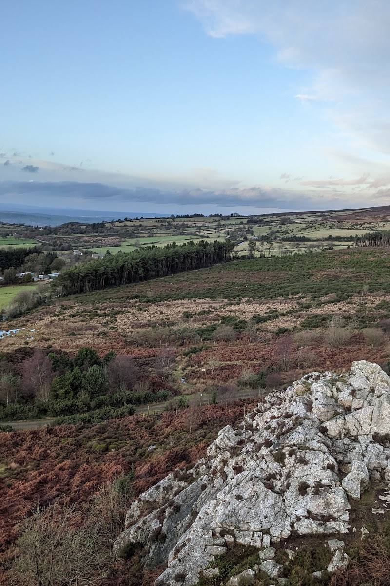
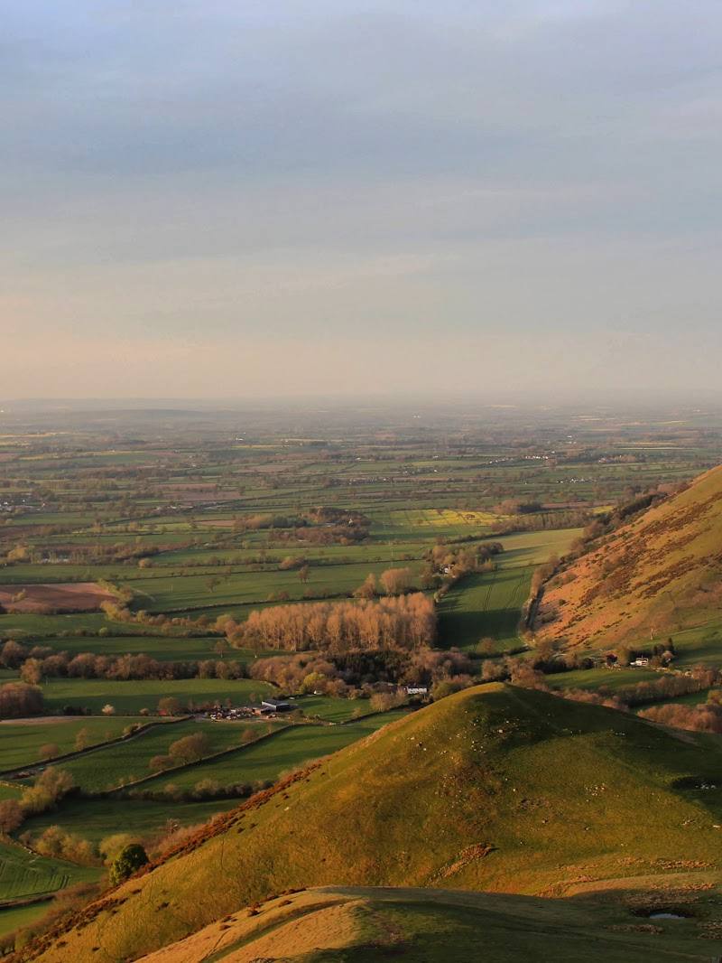
Climb the ridge to the summit hillfort, look for the rampart earthworks and take in the surrounding hills. The steep approach rewards a clear day, when the Long Mynd, Wenlock Edge and the Wrekin are visible.
Things to do
Climb the southern ridge
Follow the described steep approach from Church Stretton towards the ridge and summit. Check route conditions before setting off.
Part of a 6.6 km circular walk reported at about 2 hours 17 minutes
Explore the summit hillfort
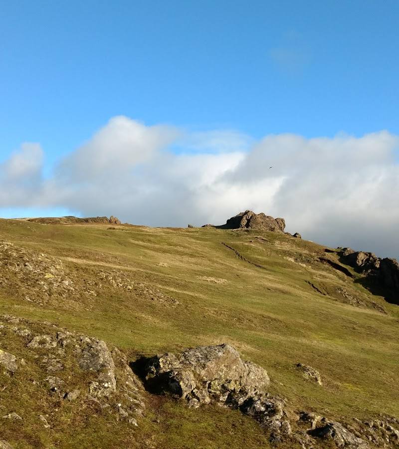
Look around the summit earthworks of the Iron Age hillfort and follow the footpath along the ramparts where the route allows.
Take in the ridge views
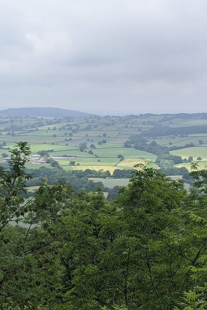
On a clear day, look north towards the Wrekin, east to Wenlock Edge and west over the Long Mynd.
Pass Three Fingers Rock
The described route from the steep south side continues past Three Fingers Rock before heading northeast along the ridge.
Make a day of it
Quick escape · About 2 hours 17 minutes; route account reports 6.6 km and 319 m elevation gain
Quick ridge-and-summit walk
- 01
Start from Church Stretton, after checking parking and the current route.
- 02
Climb the steep southern side of Caer Caradoc.
- 03
Pass Three Fingers Rock and continue along the ridge to the summit hillfort.
- 04
Return by a suitable route; the cited circular route descends the north side and returns around the eastern face.
Half day · Half day
Make a half day of the ridge
- 01
Allow time for the ascent, summit exploration and descent; one listing description gives more than three hours as a typical visit duration.
- 02
Pause at the summit to explore the hillfort earthworks and identify the surrounding hills on a clear day.
- 03
Return to Church Stretton for food or a wander around town; check current local options separately.
Verified history
An Iron Age hillfort crowns Caer Caradoc. The summit earthworks are identified in the supplied descriptions; the available material does not establish a more detailed date or account of the fort.
Folklore & legend
Local tradition associates a small summit cave with Caratacus, the British leader who resisted Roman rule. This is reported as folklore, not confirmed history.
Hidden details
The hillfort ramparts — The summit is crowned by hillfort earthworks, with a footpath described along the ramparts. Take time to notice how the fort occupies the ridge-top.
The cave in local tradition — A small cave near the summit is linked by local tradition to Caratacus. Treat the association as legend rather than a proven historical connection.
When to go
April · May · June · July · August · September · October · A clear, settled spell; no specific time of day is verified.
The main reward is the open ridge and its long-distance views, so visibility and manageable ground conditions matter more than a particular season. The sources do not specify a definitive best month.
The route includes a steep hill ascent and exposed ridge. Fog can obscure views; check the forecast and carry suitable footwear. Conditions may make the climb more demanding.
The route
- ascent
- 319 m
- surface
- Not specified; expect hill paths and check conditions.
- distance
- 6.6 km
- duration
- 2 hours 17 minutes
- difficulty
- Described as easy by the route source, though it also describes a steep ascent; conditions and personal ability will affect difficulty.
- route shape
- Circular
- start point
- Church Stretton is the described start; another suggested approach is from Cardington.
- parking start
- A route account suggests using a car park in Church Stretton and says little parking was seen near the hill. Confirm current arrangements before travel.
- Steep southern ascent
- Three Fingers Rock
- Ridge walk to the summit
- Iron Age hillfort earthworks
- Views towards the Wrekin, Wenlock Edge and Long Mynd
Worth pairing with
Church Stretton
Use the nearby town as a practical start or finish for the walk. A route account describes beginning there and notes the railway station is a little over a mile from the foot of the ascent.
The Long Mynd
A prominent neighbouring upland landscape visible from Caer Caradoc; it could pair well with a separate walk, but the supplied sources do not verify a particular route or itinerary between the two.
What to look for
Look for the hillfort earthworks at the summit, the narrow ridge and Three Fingers Rock on the described route. The summit cave is associated with Caratacus in local tradition, not verified history.
The story
Archaeology, Folklore & legend
Best time to go
Spring to autumn, in clear and settled weather.
Choose a clear, settled day for the ridge views. Low cloud or fog can obscure the outlook; the supplied sources do not establish a specific best time of day.
How long to spend
Half day
Perfect for
Walkers · Photographers · History lovers
Before you go
Address
Google rating
Practical information
Opening & access
A steep hill walk is described from Church Stretton, with a gentler approach from Cardington also mentioned. Check current access, route conditions and parking before setting out; no parking or access details are confirmed here. Access arrangements are unconfirmed. Check before visiting; do not enter private land or restricted structures.
Check before visiting
Parking
Parking near the hill is not confirmed. A route account suggests starting in Church Stretton and using a town car park; check local arrangements before travelling.
Check before visiting
Toilets
Check before visiting
Check before visiting
Food & drink
Church Stretton is nearby; specific venues and opening details are not verified here.
Dogs
Check before visiting
Check before visiting
Accessibility
The described ascent from Church Stretton is steep. This is a hill walk, not a step-free viewpoint; expect exposed, uneven terrain and check conditions before setting off.
Check before visiting
Cost
Check before visiting
Check before visiting
Gallery
Place photographsKeep exploring
Around Caer Caradoc
Within 50 km · approximate straight-line distances