6.4
Wildland
1–2 hours
Time
Check
Cost
Big-sky
Feel
Why it's Wildland
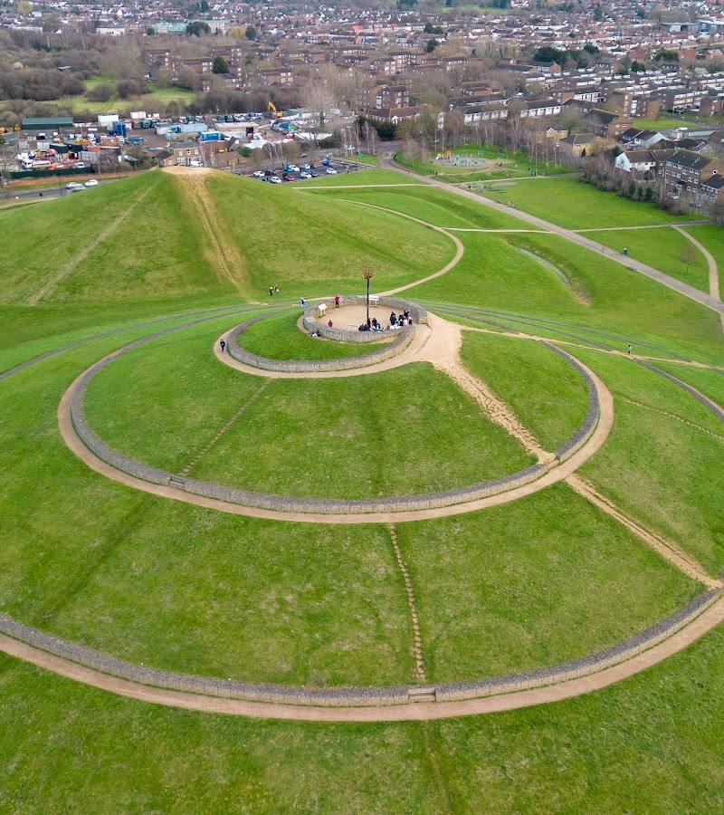
6.4Four conical mounds made from waste materials from the original Wembley Stadium and White City shopping centre give this 27.5-hectare park an unusually bold shape. The tallest rises 22 metres and has a panoramic viewpoint.
Northala Fields turns a former playing-fields site into a distinctive landscape of sculpted mounds, lakes and created wildlife habitats. The summit viewpoint and the story of how the land was remade make it more than an ordinary urban park.
Big-sky · Family-buzz · Quirky
Find your way
Open mapWestway Close, Northolt, UB5 6UR
Opening map…
Know this place a little better?
The experience
Come for the four artificial mounds, the panoramic viewpoint and the contrast between engineered landforms and water-rich habitats. The council describes paths, play areas, lakes, a visitor centre and a community-designed mosaic. Allow time to climb a mound and explore the park’s different features; check facilities and access details before setting out.
Things to do
Climb to the panoramic viewpoint
Follow the gently sloping spiral path to the viewpoint on mound three. The council describes a 360-degree view from the tallest mound, including central London and Canary Wharf.
Allow time for the climb and a viewpoint stop; exact duration not sourced.
Explore the four conical mounds
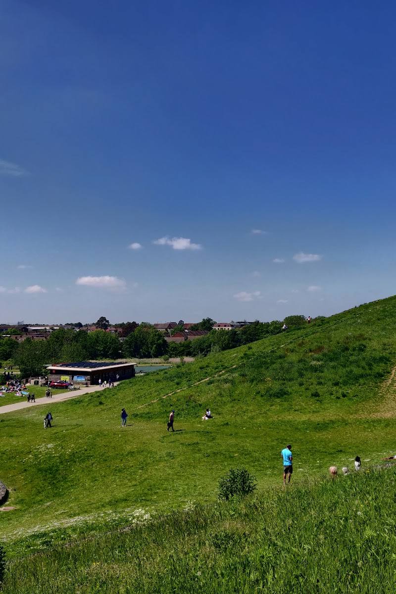
Walk among the four large mounds beside the A40. They were created using waste from the original Wembley Stadium and White City shopping centre, and help reduce noise and visual pollution.
Find the Northolt learning mosaic
Look for the colourful mosaic celebrating learning in Northolt. It was designed by students and made with young people, community members, artists and Ealing Council.
Look across the park’s water habitats
The council lists six fishing lakes, a model boating lake, wildlife ponds, streams and wetlands. Fishing and boating activities have their own management; check local rules and permissions rather than assuming activities are open to visitors.
Make a day of it
Quick escape · About 1 hour; estimated, not an official route duration.
Quick escape: climb to the view
- 01
Start from a park entrance and make for mound three, which has a gently sloping spiral path to its viewpoint.
- 02
If conditions are clear, take in the panorama from the mound summit.
- 03
Return through the park, allowing time to notice the mosaic or water features. Check current access and path conditions before setting out.
Half day · Half day; suggested visit, not an official itinerary.
Make a half day of it: mounds, mosaic and waterside habitats
- 01
Explore the four conical mounds and climb to the viewpoint on the tallest mound.
- 02
Find the colourful mosaic celebrating learning in Northolt.
- 03
Continue past the model boating lake, fishing lakes and wildlife ponds, keeping to permitted paths and observing any local restrictions.
- 04
Pause at the visitor centre if open; the council lists a café and public toilets there. Check current availability before visiting.
Verified history
Northala Fields opened in 2008 on land Ealing Council had purchased in 1997 for a new park. The 27.5-hectare site was formerly used as playing fields by the London Borough of Kensington and Chelsea. Its four conical mounds were formed using waste from the original Wembley Stadium and White City shopping centre. The council says the tallest is 22 metres high and offers a 360-degree view that includes central London and Canary Wharf.
Hidden details
The mounds have a practical purpose as well as a dramatic profile — Ealing Council says the four mounds help reduce noise and visual pollution from the A40, as well as acting as landmarks.
The mosaic was a community-made work — The Northolt learning mosaic was designed by students and constructed with local young people and community members, supported by artists and Ealing Council.
The park is part of a larger green-space belt — Ealing Council places Northala Fields within Northolt Greenford Countryside Park, described as a continuous belt of more than 100 hectares of green space in the north-west of the borough.
When to go
· A clear day for the viewpoint; no preferred time of day is established by the supplied sources.
The supplied sources do not identify seasonal highlights. The panoramic view is likely to depend on visibility, so check the forecast if that is the main reason for visiting.
Some paths include steep slopes and surfaces of tarmac, crushed brick and gravel. Check current conditions and access arrangements before visiting.
What to look for
- 01
The four conical mounds along the A40
- 02
the panoramic viewpoint on the tallest mound
- 03
the colourful mosaic about learning in Northolt
- 04
and the contrast between the lakes, wildlife ponds, streams and wetlands.
The story
Landscape creation and urban parkland: the park opened in 2008 on a site acquired by Ealing Council in 1997. Its mounds were formed using waste from the original Wembley Stadium and White City shopping centre.
Best time to go
Any season; choose a clear day for the best chance of far-reaching views from the tallest mound.
Choose a clear day for the viewpoint. The supplied sources do not identify a particular season or time of day as best.
How long to spend
1–2 hours
Perfect for
Families · Young children · Walkers · Photographers · Wildlife lovers
Before you go
Address
Phone
Website
Listed hours
- Monday: 7:30am-10pm
- Tuesday: 7:30am-10pm
- Wednesday: 7:30am-10pm
- Thursday: 7:30am-10pm
- Friday: 7:30am-10pm
- Saturday: 7:30am-10pm
- Sunday: 7:30am-10pm
Check before visiting.
Google rating
Practical information
Opening & access
Ealing Council lists several park entrances, including links through the subway under the Target Roundabout. Check current park opening and access arrangements before travelling.
Check before visiting
Parking
Ealing Council lists two car parks, on Kensington Road and the A40 slip road approaching the Target Roundabout from the east. Car parks are locked according to park closing times; check current arrangements before visiting.
Check before visiting
Toilets
Public toilets are listed in the visitor centre; check current availability before visiting.
Check before visiting
Food & drink
Ealing Council lists a café in the visitor centre; check current opening arrangements before visiting.
Check before visiting
Dogs
Check before visiting.
Check before visiting
Accessibility
Ealing Council describes disabled access and facilities, with a mixture of tarmac, crushed-brick and gravel paths and some steep slopes. A gently sloping spiral path leads to the viewpoint on mound three; accessible routes and conditions may vary.
Cost
Check before visiting
Check before visiting
Water
Six fishing lakes, a model boating lake, wildlife ponds, streams and wetlands. Swimming and paddling permission not established; do not assume they are allowed.
Gallery
Place photographs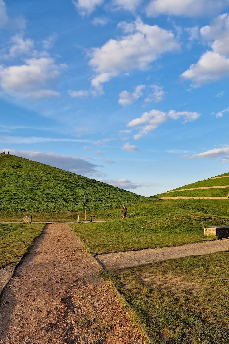
Keep exploring
Around Northala Fields
Within 50 km · approximate straight-line distances