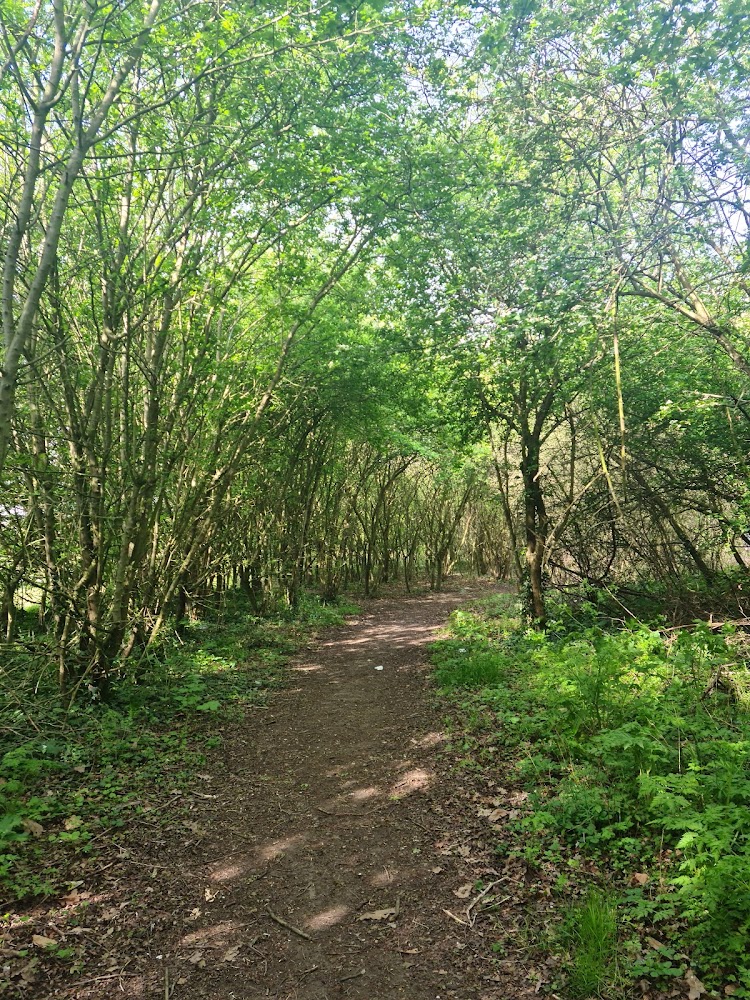
Cranford Park to Harefield, via Hayes and other parts of the London Borough of Hillingdon
Hillingdon Trail
route · Long-distance trail
Source image
7.0
Wildland
Full day, Multi-day
Time
Check
Cost
Varied
Feel
Why it's Wildland
7.0A 20-mile thread through Hillingdon’s green spaces, linking canal towpaths, brooks, woods and parkland with historic features such as Cranford Park’s stables and the Jacobean almshouses at Harefield.
This is more than a suburban footpath: the official route links six distinct sections, from the River Crane and Grand Union Canal to Yeading Valley, Ruislip Woods and Harefield Locks. Its appeal is the surprising variety of countryside and heritage threaded through a London borough—not a single dramatic landscape.
Varied · Green · Urban escape
Find your way
Open mapCranford Park to Harefield, via Hayes and other parts of the London Borough of Hillingdon
Opening map…
Know this place a little better?
The experience
The council divides the trail into six sections, from Cranford Park to Harefield Locks. For a shorter outing, the Hayes Towpath section is listed as three miles between Bulls Bridge and Yeading Lane. The full route is listed as 20 miles; use the council’s section maps to plan and check current conditions.
Things to do
Walk the Hayes Towpath
Follow the council-listed three-mile section from Bulls Bridge to Yeading Lane beside the Grand Union Canal, passing Brookside Open Space and Yeading Brook.
3 miles
Explore the Yeading Valley section
Walk the three-mile section from Yeading Lane to the A40, passing Yeading Brook, the Golden Bridge, Gutteridge Wood and Lynhurst Crescent Open Space.
3 miles
Look for the trail waymarkers
The council identifies Hillingdon Trail waymarkings to help walkers follow the route.
See Cranford Park’s historic landmarks
The route passes the Stables Block, St Dunstan’s Church and the site of the former manor house of Cranford le Mote, identified by the council as dating to the 13th century.
Make a day of it
Quick escape · 3 miles
The Hayes Towpath
- 01
Use the council’s Hayes Towpath section information to plan the section between Bulls Bridge and Yeading Lane.
- 02
Follow the Grand Union Canal towpath.
- 03
Look out for Brookside Open Space and Yeading Brook along the way.
Half day · 3 miles
Walk the Yeading Valley section
- 01
Use the council’s Yeading Valley section information to plan the walk from Yeading Lane to the A40.
- 02
Follow the route past Yeading Brook and the Golden Bridge.
- 03
The section also passes Gutteridge Wood and Lynhurst Crescent Open Space.
Full Wildland day · 20 miles; allow a full day or split into sections
Follow the full Hillingdon Trail
- 01
Plan the route from Cranford Park to Harefield using the council’s six section guides.
- 02
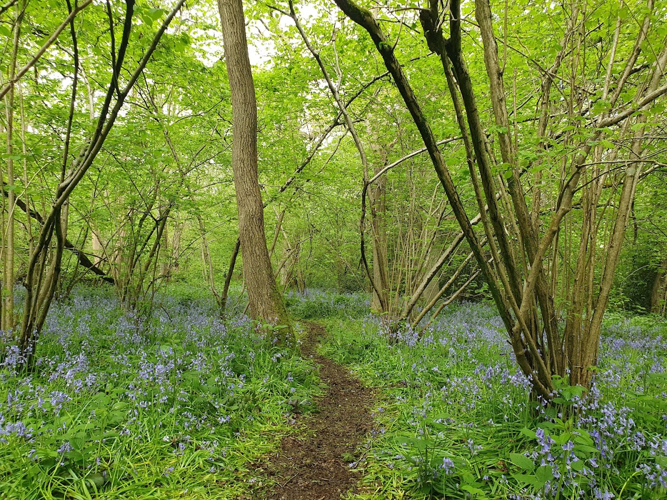
The route passes through Cranford Park, the Hayes Towpath, Yeading Valley, Ickenham Marsh, Ruislip Woods and Harefield Locks.
- 03
Check section details and current conditions before setting out; the supplied sources do not establish a complete itinerary, transport plan or facilities.
Verified history
The Cranford Park section passes the Stables Block, described by Hillingdon Council as the most impressive and complete part of the remaining buildings of Cranford Park House. It also passes St Dunstan’s Church and the site of Cranford le Mote’s former manor house, which the council identifies as 13th-century. Near Harefield, the trail passes Jacobean almshouses. These are place-specific historic features; the supplied sources do not provide further detail about their builders or occupants.
Hidden details
The footprint of Cranford le Mote — The trail passes the site of the former manor house of Cranford le Mote, identified by the council as 13th-century. The source does not specify what remains visible at the site.
Cranford Park’s surviving Stables Block — The council describes this as the most impressive and complete part of the remaining buildings of Cranford Park House.
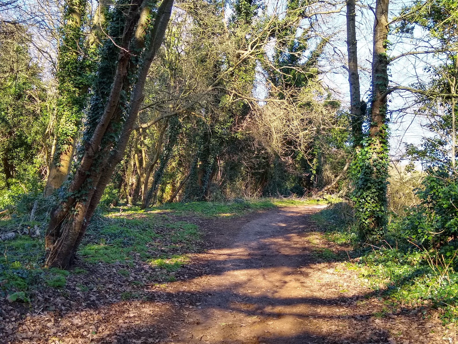
Hillingdon Trail waymarkings — Look for the trail markers identified by the council as aids to following the route.
When to go
· Not established by the supplied sources.
The supplied sources do not identify seasonal highlights or recommend a particular time of year.
Surface and weather-related conditions are not specified in the supplied sources. Check the relevant council section guide before setting out.
The route
- distance
- 20 miles according to Hillingdon Council. The council lists six sections of 2, 3, 3, 3, 4 and 5 miles.
- duration
- Not specified by the council. The full route is 20 miles; plan time according to pace and chosen sections.
- waymarking
- Hillingdon Council identifies trail waymarkings; check its section guides for route details.
- route shape
- Point-to-point, from Cranford to Harefield according to Hillingdon Council.
- start point
- Cranford Park is the stated Cranford end. The supplied Google pin is a main-place pin in Hayes, not a verified start or entrance.
- shorter alternative
- Walk the council-listed three-mile Hayes Towpath section from Bulls Bridge to Yeading Lane.
- Cranford Park’s Stables Block and St Dunstan’s Church
- Site of the former 13th-century manor house of Cranford le Mote
- Grand Union Canal, Brookside Open Space and Yeading Brook
- Golden Bridge and Gutteridge Wood
- Ickenham Marsh, River Pinn, Cannon Brook and Ruislip Lido
- Ruislip Woods, Harefield Church and Jacobean almshouses
What to look for
- 01
At Cranford Park, look for the Stables Block, St Dunstan’s Church and the site of Cranford le Mote’s 13th-century manor house. Along the route, watch for the council’s Hillingdon Trail waymarkers
- 02
at Harefield, the route passes the Jacobean almshouses.
The story
Cranford Park House remains, St Dunstan’s Church, the site of the 13th-century manor house of Cranford le Mote, the former Battle of Britain House, and Harefield’s Jacobean almshouses.
Best time to go
Not specified in the supplied sources. Check current route conditions before visiting.
No best season or time of day is specified in the supplied sources. Check current conditions and section information before travelling.
How long to spend
Full day, Multi-day
Perfect for
Walkers · History lovers · Wildlife lovers
Route at a glance
Duration
Full day, Multi-day
Terrain
Riverside, Woodland
Parking / start
No parking information verified for the trail as a whole. Check the council’s section maps for suitable access points.
Before you go
Address
Website
Listed hours
- Monday: Open 24 hours
- Tuesday: Open 24 hours
- Wednesday: Open 24 hours
- Thursday: Open 24 hours
- Friday: Open 24 hours
- Saturday: Open 24 hours
- Sunday: Open 24 hours
Check before visiting.
Google rating
Practical information
Opening & access
Hillingdon Council describes the trail as a 20-mile walk through the borough, from Cranford to Harefield, to be walked at your own leisure. The supplied Hayes pin is a main-place pin, not a verified trail entrance or start point. Check the council’s route information before setting out.
Check before visiting
Parking
No parking information verified for the trail as a whole. Check the council’s section maps for suitable access points.
Check before visiting
Toilets
Check before visiting
Check before visiting
Food & drink
Check before visiting
Check before visiting
Dogs
Check before visiting
Check before visiting
Accessibility
Surface, gradients, barriers and step-free access are not established by the supplied sources. Check the relevant section information before choosing a route.
Check before visiting
Cost
Check before visiting
Check before visiting
Water
Grand Union Canal, River Crane, Yeading Brook, River Pinn, Cannon Brook and Ruislip Lido are named along the route. No swimming or paddling permission is verified.
Gallery
Place photographsKeep exploring
Around Hillingdon Trail
Within 50 km · approximate straight-line distances