Horsenden, Perivale, Greenford UB6 7PQ
Horsenden Hill
Mixed-habitat reserve
Source image
6.4
Wildland
1–2 hours
Time
Check
Cost
Wild
Feel
Why it's Wildland
6.4A 100-hectare patchwork of woodland, meadows, ponds and wetlands, with the highest point in Ealing rising to 84 metres above sea level.
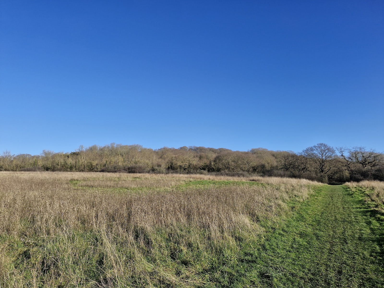
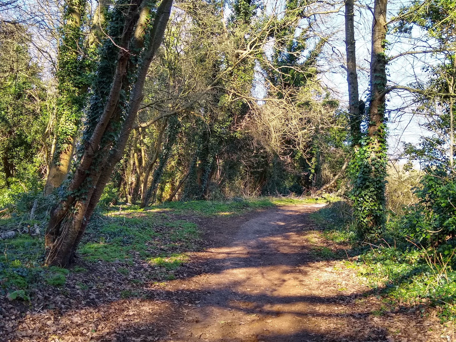
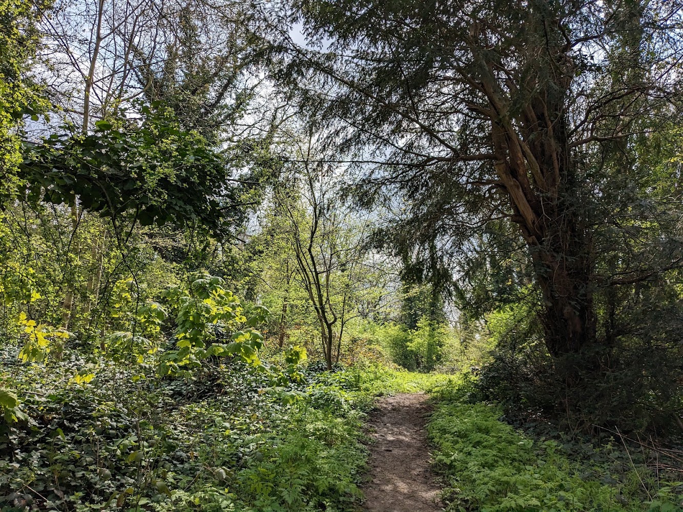
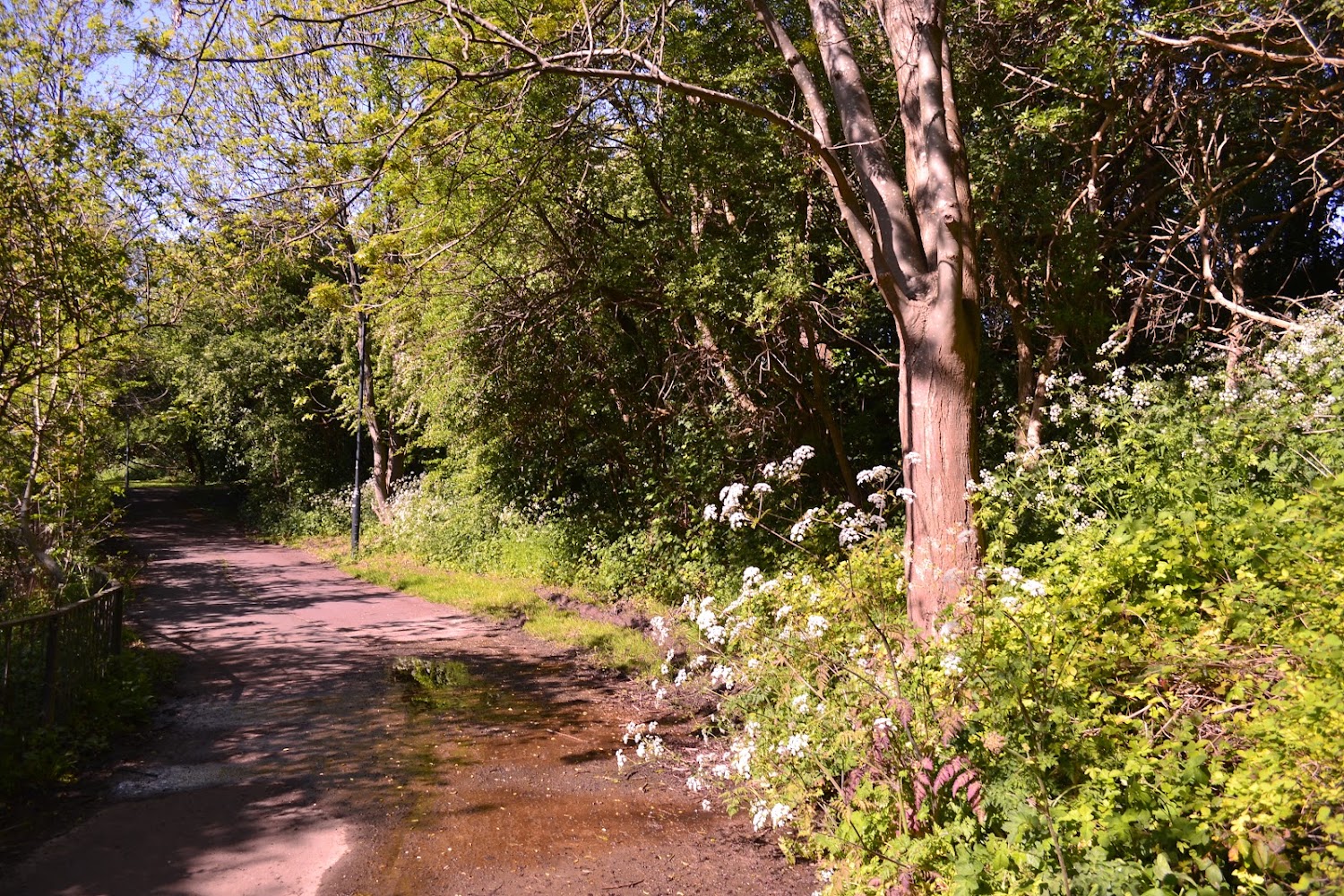
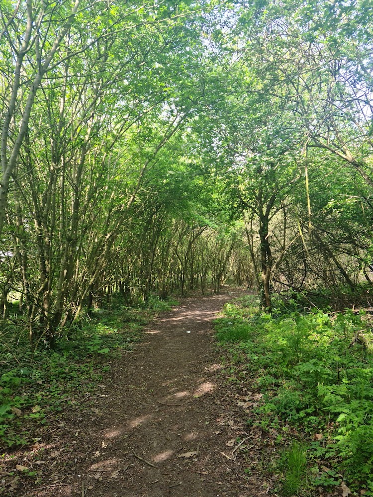
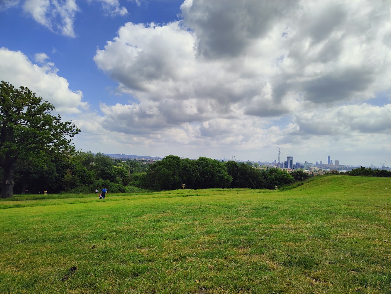
Horsenden Hill earns its place for its unusual scale and variety within an urban setting: ancient woodland, grazed grassland, wildflower meadows, ponds and reedbeds sit across three connected sections. The summit offers a broad view over the borough.
Wild · Big-sky · Peaceful
Find your way
Open mapHorsenden, Perivale, Greenford UB6 7PQ
Opening map…
Know this place a little better?
The experience
Explore the hill and its distinct habitats on foot. The council identifies three areas: wooded Horsenden East, meadow-and-pond-rich Horsenden West, and Paradise Fields, with scrapes, reedbeds and lagoons south of the canal.
Things to do
Take in the summit view
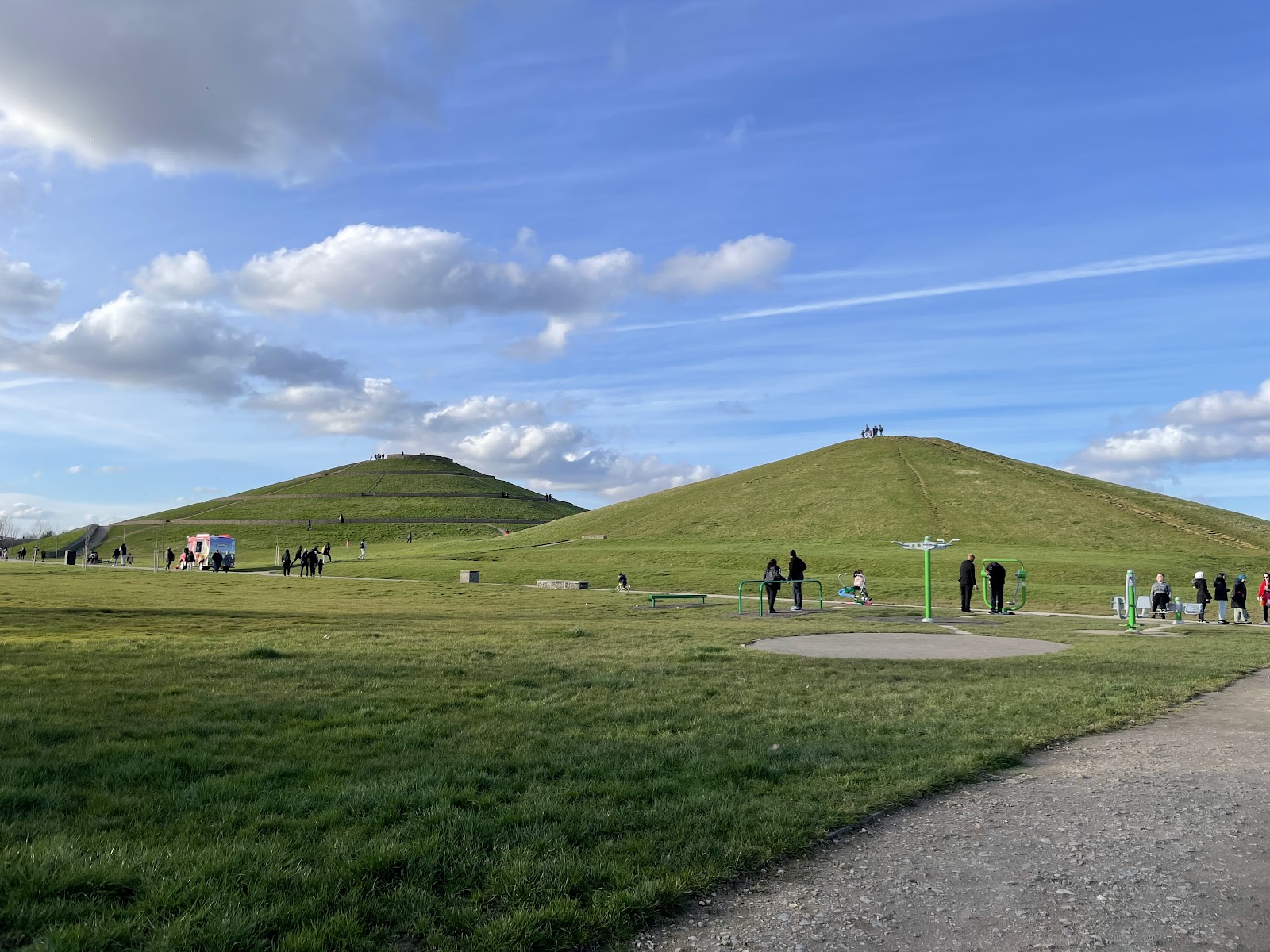
Walk to the 84-metre summit, identified by Ealing Council as the borough’s highest point, for views across the area.
Compare Horsenden East and West
Look for the contrast between East’s woodland and grazed fields and West’s wildflower meadows, hedgerows and ponds.
Explore Paradise Fields
Visit the southern section of the site, where the council identifies scrapes, reedbeds and lagoons.
Make a day of it
Quick escape · About 1–2 hours; suggested, not a verified route duration
Quick escape: climb for the view
- 01
Use the council’s listed access information to plan your arrival.
- 02
Walk towards Horsenden Hill’s summit for views from Ealing’s highest point.
- 03
Return by a suitable path; check conditions and route accessibility before setting out.
Half day · Half day; suggested, not a verified route duration
Make a half day of it: explore the three landscapes
- 01
Explore the woodland and grazed fields of Horsenden East.
- 02
Continue, where access and conditions permit, to Horsenden West for its wildflower meadows, hedgerows and ponds.
- 03
Visit Paradise Fields south of the canal for its scrapes, reedbeds and lagoons.
- 04
Check a current map and local access information before planning a connecting route.
Hidden details
Ealing’s highest point — The summit reaches 84 metres above sea level, making it the highest point in Ealing, according to the council.
Three distinct landscape sections — The council divides the wider site into Horsenden East, Horsenden West and Paradise Fields, each with a different mix of habitats.
When to go
· Choose a clear day for summit views. No specific time-of-day recommendation is established by the supplied sources.
The council source documents meadows, woodland, ponds and wetlands but does not specify peak wildlife or flowering dates.
Check the forecast and local conditions before setting out. The supplied sources do not describe path surfaces or weather-related hazards.
What to look for
Notice how the landscape changes between Horsenden East’s woodland and grazed fields, Horsenden West’s meadows, hedgerows and ponds, and the reedbeds and lagoons of Paradise Fields. The summit is 84 metres above sea level and is Ealing’s highest point.
The story
Nature conservation
Best time to go
Spring and summer for meadows and greener woodland; any season for the summit and varied habitats.
Choose spring or summer to see the meadows and woodland in leaf. For summit views, choose a clear day; the supplied sources do not identify a specific seasonal peak.
How long to spend
1–2 hours
Perfect for
Walkers · Wildlife lovers · Families · Photographers
Before you go
Practical information
Opening & access
Ealing Council describes Horsenden Hill as a nature conservation area. Its page gives access information by tube, bus and car; check current access arrangements before travelling.
Check before visiting
Parking
Ealing Council lists a car park off Horsenden Lane North, reached from the A40 Perivale exit. Check current availability and charges before travelling.
Check before visiting
Toilets
Check before visiting
Check before visiting
Food & drink
Check before visiting
Check before visiting
Dogs
The source row reports dogs allowed; check current rules and any livestock-related guidance before visiting.
Check before visiting
Accessibility
The source row reports a wheelchair-accessible car park and entrance, but does not establish the accessibility of paths across the site. Check conditions and route suitability before visiting.
Check before visiting
Cost
Check before visiting
Check before visiting
Water
Ponds, reedbeds, lagoons and the Grand Union Canal are described in the supplied council source. Swimming or paddling permission is not established.
Gallery
Place photographsKeep exploring
Around Horsenden Hill
Within 50 km · approximate straight-line distances