Machrie Moor, Isle of Arran, KA27 8DX, Scotland
Machrie Moor Standing Stones
Prehistoric
Source image
7.0
Wildland
1–2 hours
Time
Check
Cost
Atmospheric
Feel
Why it's Wildland
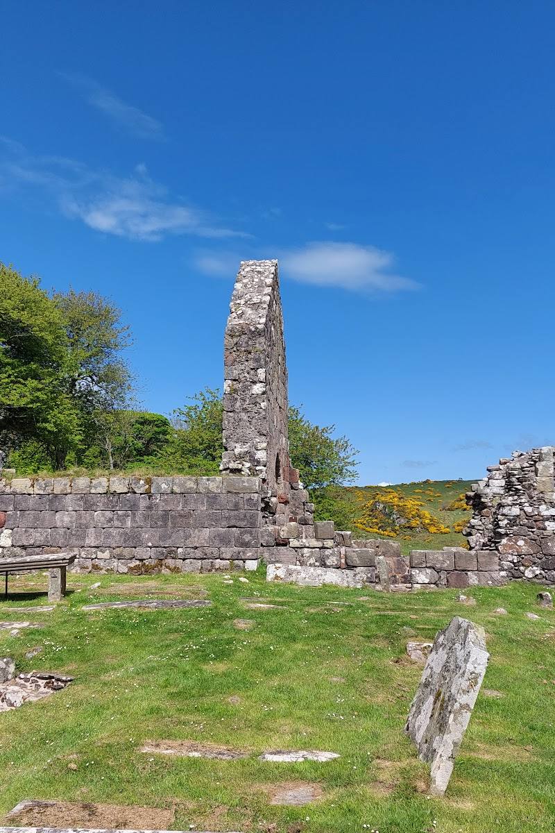
7.0On Arran’s open moor, six stone circles sit within a much wider prehistoric landscape. The stones were preceded by timber circles on the same sites, and the wider landscape includes burial cairns, cists, hut circles and traces of an extensive field system.
Machrie Moor is more than a collection of ancient stones: its circles, burial places and traces of settlement spread across an open moorland landscape, letting you explore a prehistoric place rather than simply stop at a monument.
Atmospheric · Ancient-feeling · Wild
Find your way
Open mapMachrie Moor, Isle of Arran, KA27 8DX, Scotland
Opening map…
Know this place a little better?
The experience
Walk out across the moor to explore the stone circles and look beyond them for the remains of burials and settlement. Allow about an hour for the route itself, with extra time to pause at the monuments.
Things to do
Walk out to the stone circles
Follow the farm track and grass paths across the moor to visit the circles. The route source describes a gentle-gradient out-and-back walk, with muddy conditions possible.
About 1 hour walking
Explore the wider archaeological landscape
Look beyond the circles for standing stones, burial cairns, cists, hut circles and an extensive field system recorded across the moor.
Compare the stone circles and their setting
Take time to notice the variety of stones and the way the circles occupy the open moor. Historic Environment Scotland says timber circles preceded the stone circles on exactly the same sites.
Make a day of it
Quick escape · About 1 hour walking; allow longer to explore
Quick Escape: Walk to the circles
- 01
Follow the route from the access point across the moor on the farm track and grass paths.
- 02
Explore the stone circles and take time to notice how they sit within the wider moorland landscape.
- 03
Return by the same route.
Half day · Half day
Half Day: Explore the prehistoric landscape
- 01
Walk out across the moor to the stone circles, allowing time for the reported one-hour route and unhurried stops.
- 02
Look beyond the circles for the wider archaeological remains described by Historic Environment Scotland, including cairns, cists and hut circles.
- 03
Return along the same route; check local access and conditions before setting out.
Verified history
Historic Environment Scotland describes Machrie Moor as a Neolithic centre of ritual and domestic activity. Its stone circles, standing stones, burial cairns, cists, hut circles and field system date from between 3500 and 1500 BC. The stone circles were preceded by timber circles on the same sites. Burials, including cremation and inhumation, were placed in the circles after they were first built.
Hidden details
Earlier timber circles — The stone circles were preceded by elaborate timber circles on exactly the same sites—a detail that makes the monuments part of a longer sequence of activity rather than a single building episode.
Burials within the circles — Historic Environment Scotland records that cremation and inhumation burials were placed in the circles long after they were first built.
Evidence of everyday life — The wider site includes hut circles and an extensive field system as well as ritual monuments, evidence of domestic activity in this prehistoric landscape.
When to go
· Choose a clear, relatively dry time of day for walking and views; no specific optimal hour is verified.
Historic Environment Scotland says the site is open all year. The route includes grass paths that can become muddy, so conditions matter more than a particular season.
The route may be muddy, and the moor is exposed. Check the forecast and path conditions before setting out.
The route
- ascent
- 141 ft (43 m)
- stiles
- No stiles reported; several gates to negotiate
- surface
- Farm track and grass paths; can be muddy
- distance
- 2.7 miles (4.3 km)
- duration
- About 1 hour
- difficulty
- Easy, according to route source
- waymarking
- Check before visiting
- route shape
- Out and back
- start point
- Route source describes a signposted start off the A841 north of Blackwaterfoot; exact start pin not verified.
- parking start
- Source row describes a car park, but exact location and current availability are not verified. Check before visiting.
- Six stone circles
- Standing stones, burial cairns and cists
- Hut circles and an extensive field system
- Open moorland setting
What to look for
Look for the different forms and arrangements of the stone circles, and remember that the archaeological landscape also includes standing stones, burial cairns, cists, hut circles and a field system. Historic Environment Scotland notes that the stone circles were preceded by timber circles on the same sites.
The story
Archaeology
Best time to go
Open all year; choose a clear, relatively dry day for easier walking and views across the moor.
A clear, dry day makes the open landscape easier to appreciate and muddy paths less challenging. The site is described as open all year; check conditions before setting out.
How long to spend
1–2 hours
Perfect for
Walkers · History lovers · Photographers
Before you go
Address
Listed hours
- Monday: Open 24 hours
- Tuesday: Open 24 hours
- Wednesday: Open 24 hours
- Thursday: Open 24 hours
- Friday: Open 24 hours
- Saturday: Open 24 hours
- Sunday: Open 24 hours
Check before visiting.
Google rating
Practical information
Opening & access
Historic Environment Scotland says the site is open all year. The stone circles are reached on foot; a route source describes a farm track and grass paths crossing private farmland. Follow the route and any signs, respect land and monument restrictions, and check current access and conditions before visiting. Access arrangements are unconfirmed. Check before visiting; do not enter private land or restricted structures.
Check before visiting
Parking
The source row describes a car park, but its location, capacity and current availability are not verified. Check before visiting.
Check before visiting
Toilets
Check before visiting
Check before visiting
Food & drink
Check before visiting
Check before visiting
Dogs
Check before visiting; the route is described as crossing private farmland.
Check before visiting
Accessibility
The approach includes a walk on a farm track and grass paths that may become muddy. The source row reports a wheelchair-accessible entrance as unavailable; suitability of the full route is not verified. Check before visiting.
Check before visiting
Cost
Check before visiting
Check before visiting
Gallery
Place photographsKeep exploring
Around Machrie Moor Standing Stones
Within 50 km · approximate straight-line distances
 Place photograph6.5
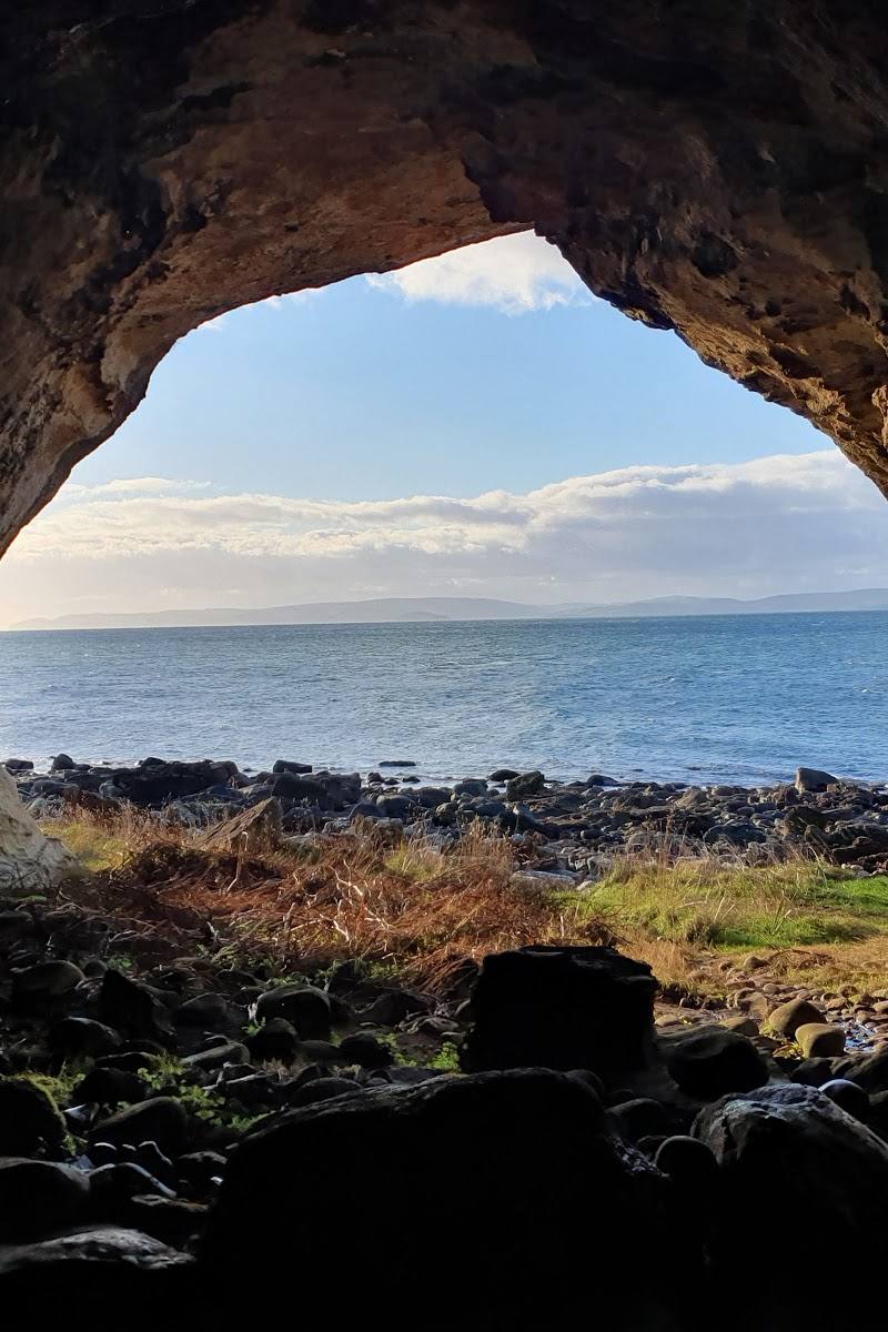
King’s Caves
West coast of the Isle of Arran, near Blackwaterfoot, Scotland
3.1 km away
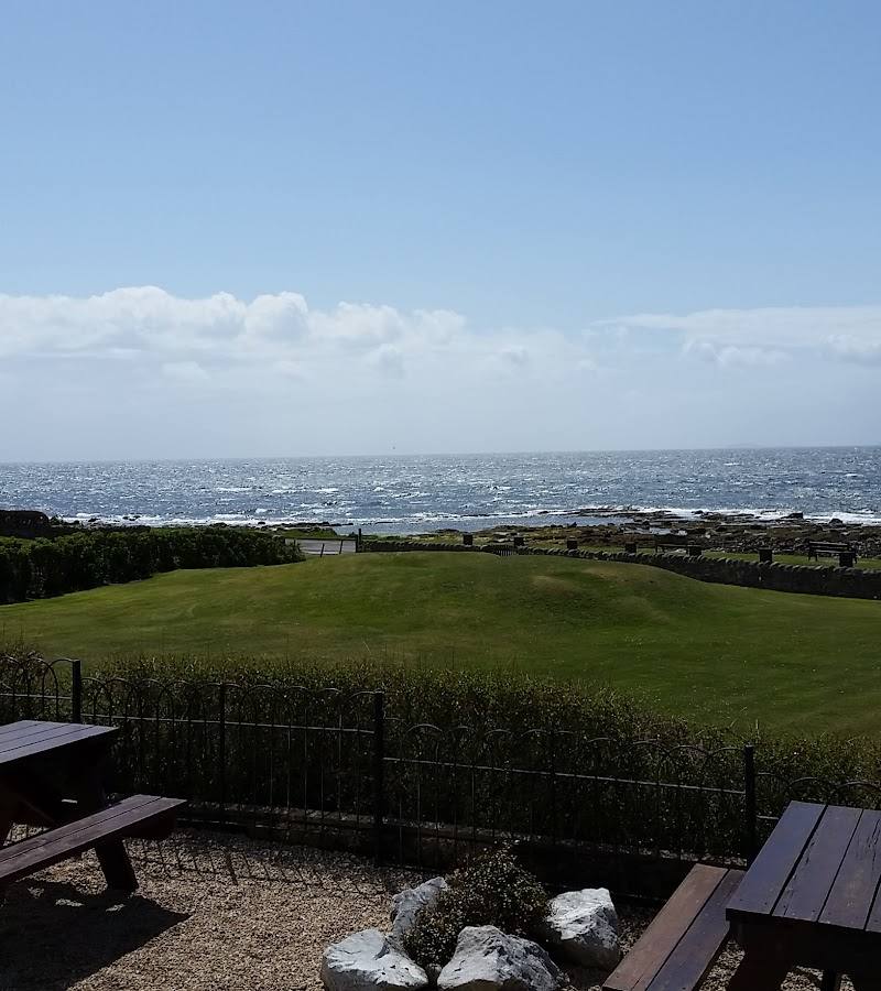
Lochranza Campsite and Golf
Lochranza, northern Isle of Arran, Scotland
17.8 km away