Blackwaterfoot, Isle of Arran, Scotland
Blackwaterfoot Beach
Beach
Place photograph
7.1
Wildland
Check before visiting
Time
Check
Cost
Big-sky
Feel
Why it's Wildland
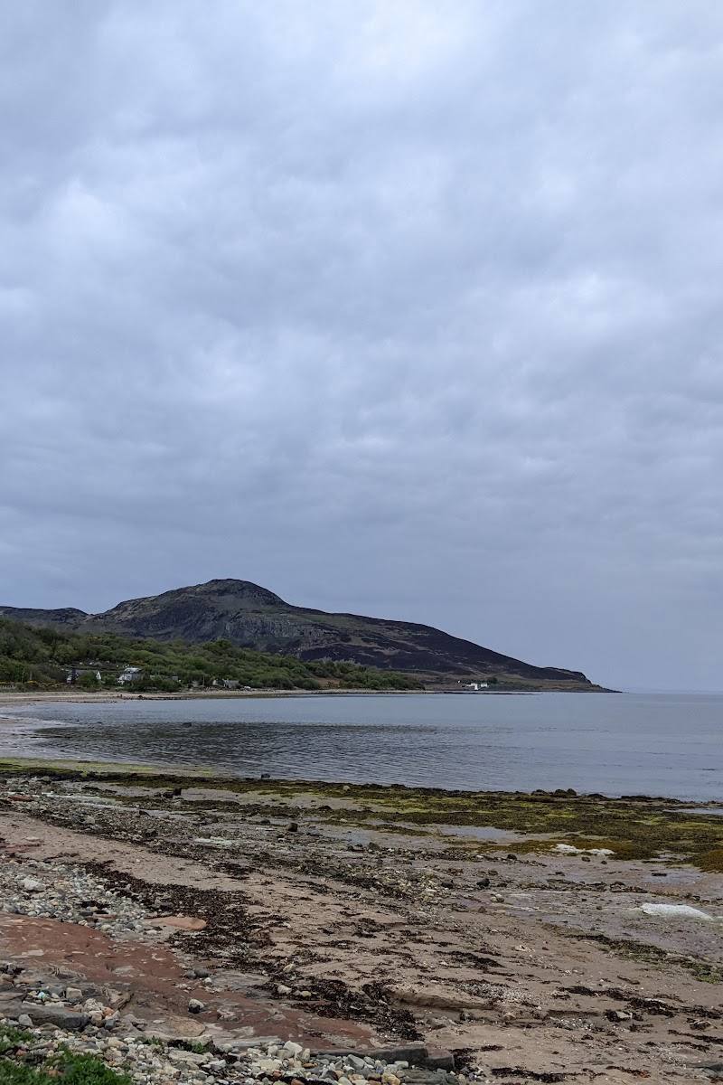
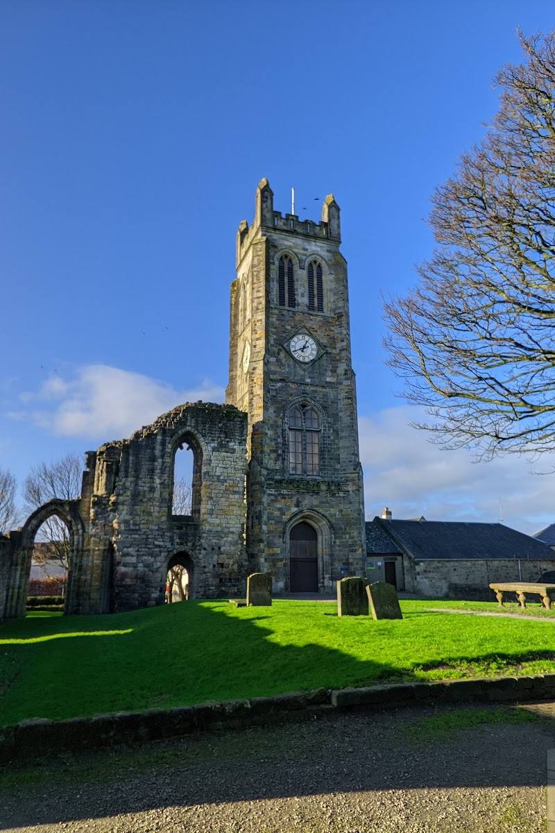
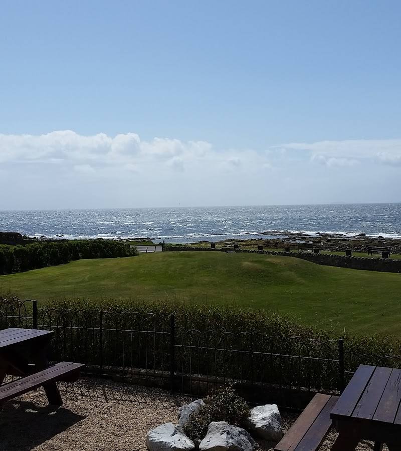
7.1A broad shore at Drumadoon Bay, looking across the Kilbrannan Sound towards Kintyre, with the basalt headland of Drumadoon Point and the King’s Caves further along the coast.
This is more than a village beach: its open views across the Sound lead into a coast of striking basalt and sea caves, with the Iron Age remains at Drumadoon Point adding a deeper layer to a shoreline walk.
Big-sky · Wild · Dramatic
Find your way
Open mapBlackwaterfoot, Isle of Arran, Scotland
Opening map…
Know this place a little better?
The experience
Start on the shore for the views across Kilbrannan Sound, then explore the coast towards Drumadoon Point if conditions and access allow. The King’s Caves are a further nearby draw, but check the route and conditions before setting out.
Things to do
Take in the view across Kilbrannan Sound
Look west from the shore towards the Kintyre peninsula; the islands of Sanda and Davaar are noted in the view from Arran’s west coast.
Explore towards Drumadoon Point
The headland is described as a prominent basalt feature, with the remains of an Iron Age fort at Drumadoon Point. Check access and conditions before approaching.
Look for the small harbour and Clauchan Water
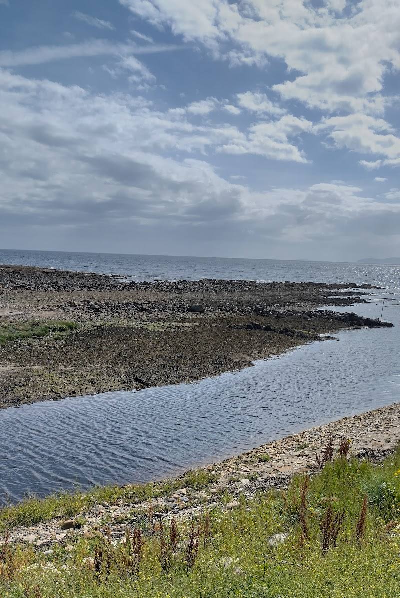
At Blackwaterfoot, Clauchan Water passes over natural rock weirs and beneath a stone bridge into the sea; the harbour is small and easy to miss.
Consider the King’s Caves as a separate coastal extension
The caves lie further along the coast. Check current access, route conditions and the time needed before making them part of a beach visit.
Make a day of it
Quick escape · Check before visiting
Quick Escape: Shore and Sound
- 01
Begin at Blackwaterfoot and take in the beach and the view across Kilbrannan Sound towards Kintyre.
- 02
If access and conditions allow, continue along the shore towards Drumadoon Point.
- 03
Return to the village; check local conditions before setting out.
Half day · Check before visiting
Make a Half Day of It: Beach, Headland and Caves
- 01
Explore the beach at Drumadoon Bay and its views across the Sound.
- 02
Continue towards Drumadoon Point to see the coastal landform and, from suitable public access, the remains of the Iron Age fort.
- 03
Consider extending the outing towards the King’s Caves only after checking the route, access and coastal conditions.
Verified history
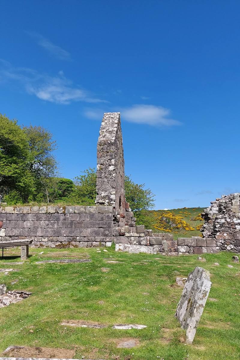
Drumadoon Point is home to the remains of an Iron Age fort. The nearby Shiskine Golf Club was founded in 1896 as a nine-hole course; a later expansion was interrupted by the First World War, and six holes fell into disuse. These are nearby features rather than a history of the beach itself.
Folklore & legend
Local legend places Robert the Bruce’s encounter with a spider at the King’s Cave, where it supposedly encouraged him to try again. The account is disputed: the supplied source notes other proposed locations and the possibility that the story was an invention of Sir Walter Scott in the early nineteenth century.
Hidden details
A harbour that is easy to miss — The small harbour is described as barely visible even from the neighbouring village car park. Look for Clauchan Water passing under the stone bridge on its way to the sea.
The Bruce story is not settled history — The King’s Cave tradition is compelling, but the source explicitly notes disagreement about where the spider story happened and whether it was invented.
When to go
· No specific time is established by the supplied sources; check tide and weather before visiting.
The supplied sources do not establish a best season or reliably timed wildlife event.
Coastal conditions can affect comfort and safe passage. Check the local forecast, tides and route conditions before setting out.
Worth pairing with
King’s Cave
A nearby coastal cave site associated with the Robert the Bruce spider legend. Verify route, access and conditions before making the extension.
Machrie Moor
A further Arran pairing for a history-focused outing: the source describes stone circles, hut circles and standing stones, accessed by a farm track. Check access and conditions.
Shiskine Golf Club
At Drumadoon Point, this distinctive 12-hole course offers a nearby sporting connection; check current visitor arrangements directly.
What to look for
- 01
Look across the Sound towards Kintyre
- 02
notice the small harbour where Clauchan Water passes beneath a stone bridge, and the basalt landform at Drumadoon Point. The King’s Caves are associated in some accounts with Robert the Bruce, but the story’s location is disputed.
The story
Iron Age fort remains at Drumadoon Point; nearby King’s Cave is associated with a Robert the Bruce legend.
Best time to go
Check local conditions before travelling; no specific seasonal peak is established by the supplied sources.
No specific best time is established by the supplied sources. Check tide, weather and local conditions before a coastal visit.
How long to spend
Check before visiting
Perfect for
Walkers · Photographers · History lovers
Before you go
Address
Practical information
Opening & access
The beach lies west of Blackwaterfoot village. Check local access and conditions before visiting.
Check before visiting
Parking
A village car park is mentioned near the harbour; confirm its location, availability and any restrictions before visiting.
Toilets
Check before visiting
Check before visiting
Food & drink
The source mentions a small selection of shops and tourist facilities in the village; check what is currently open.
Check before visiting
Dogs
Check before visiting
Check before visiting
Accessibility
Check before visiting; beach and coastal path surfaces and accessibility are not established by the supplied sources.
Check before visiting
Cost
Check before visiting
Check before visiting
Water
Sea
Gallery
Place photographs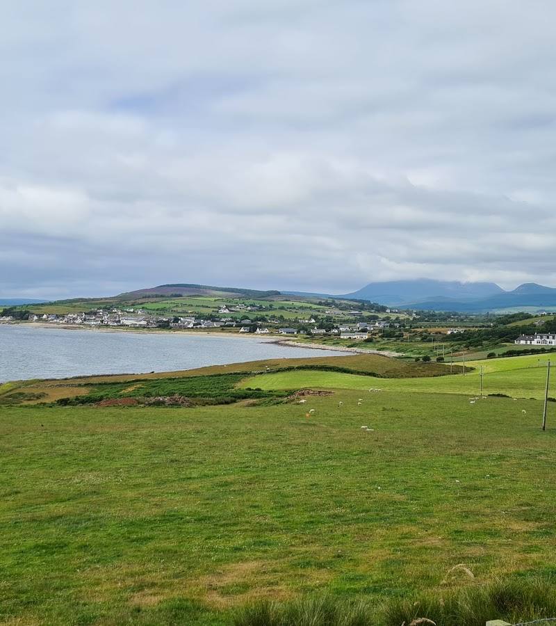
Keep exploring
Around Blackwaterfoot Beach
Within 50 km · approximate straight-line distances