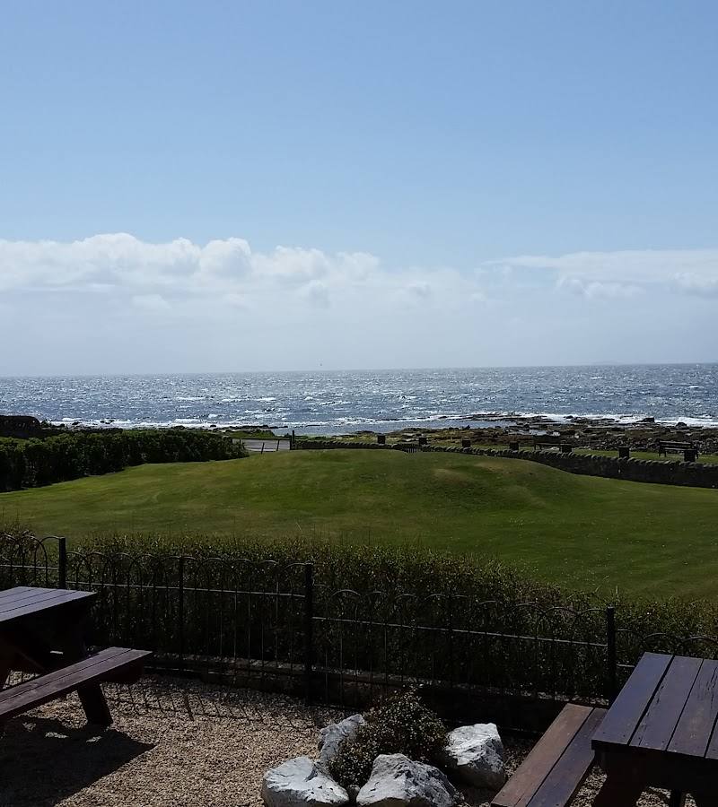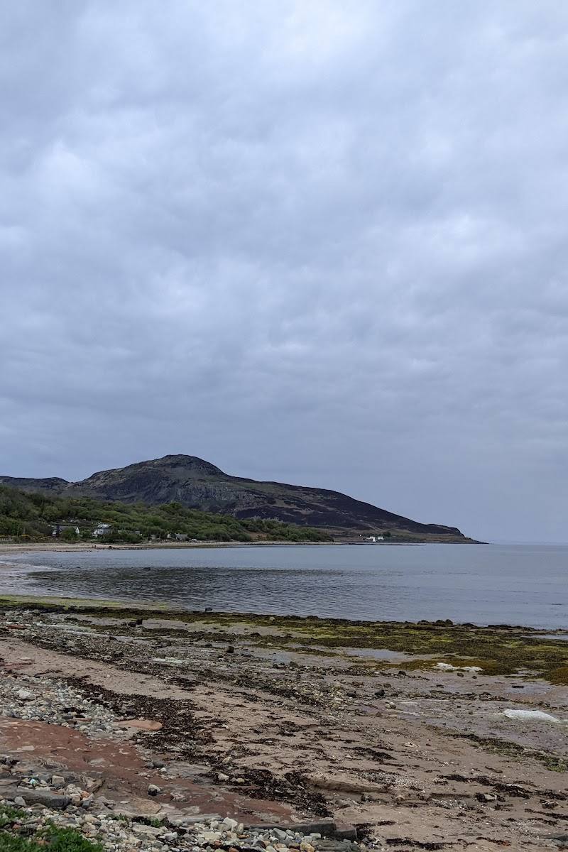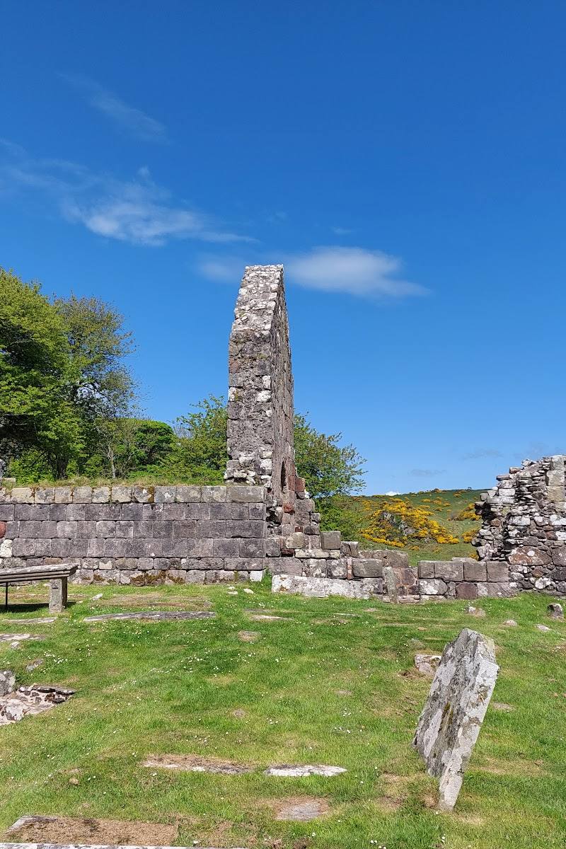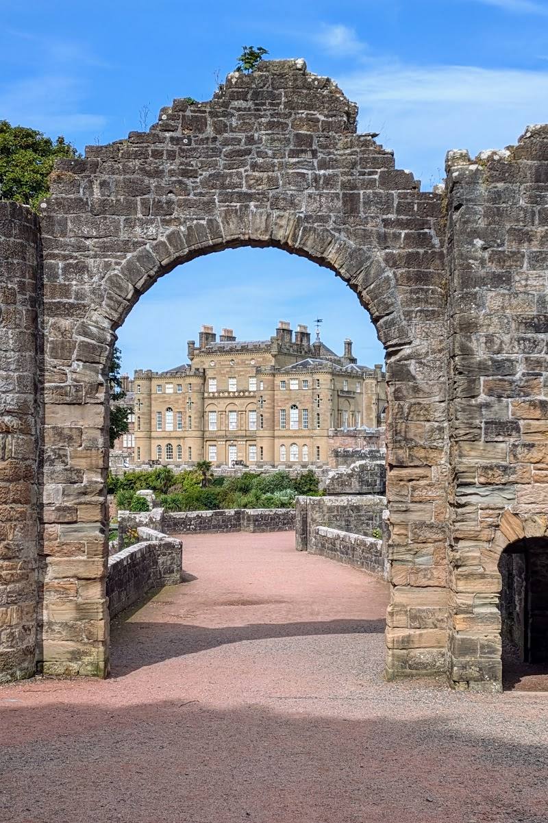
West coast of the Isle of Arran, near Blackwaterfoot, Scotland
King’s Caves
Cave
Place photograph
6.5
Wildland
1–2 hours
Time
Check
Cost
Atmospheric
Feel
Why it's Wildland
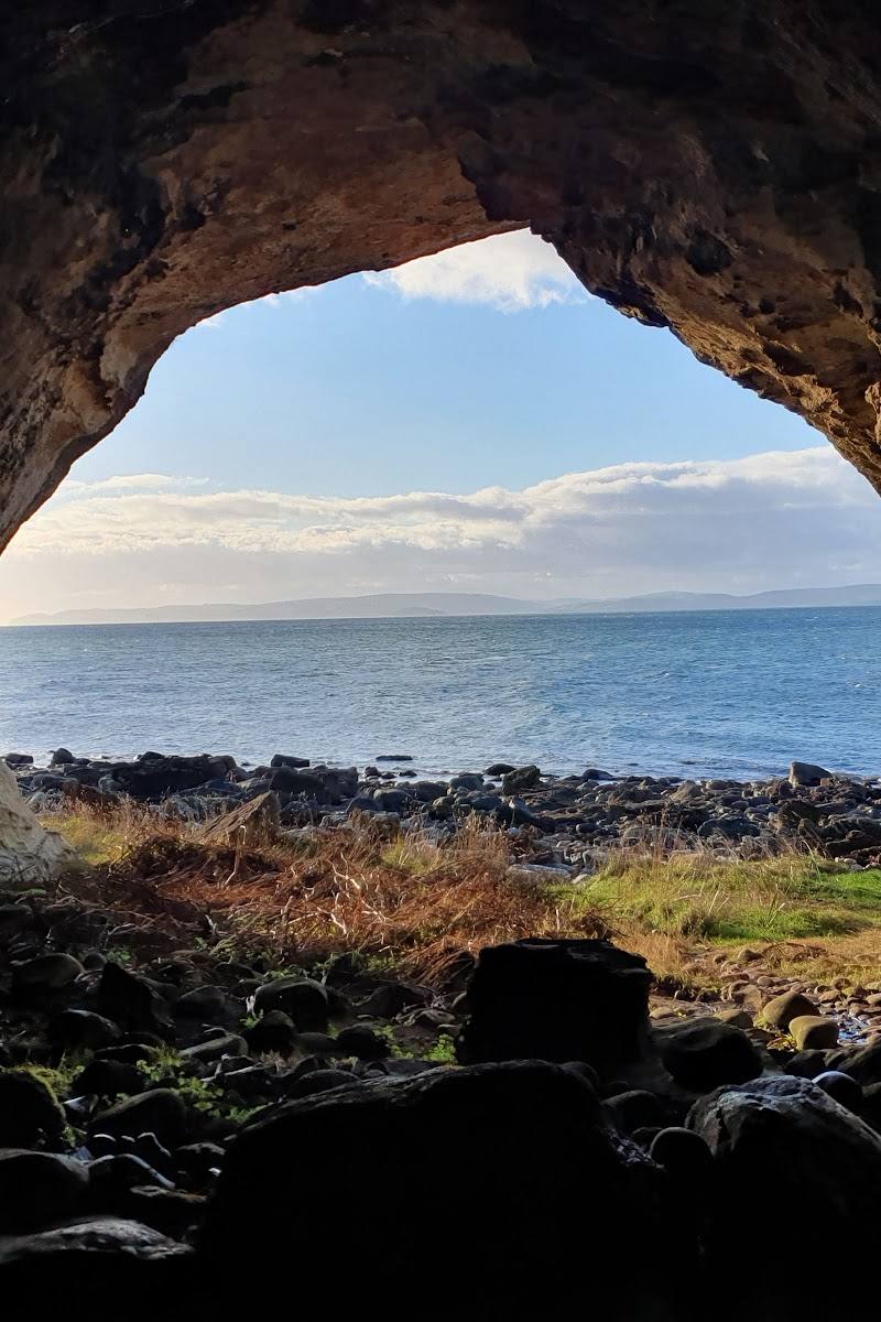
6.5A shore-side cave with carvings across its walls, King’s Cave is tied to the story of Robert the Bruce and the spider—but Forestry and Land Scotland says the famous encounter is unlikely to have happened here.
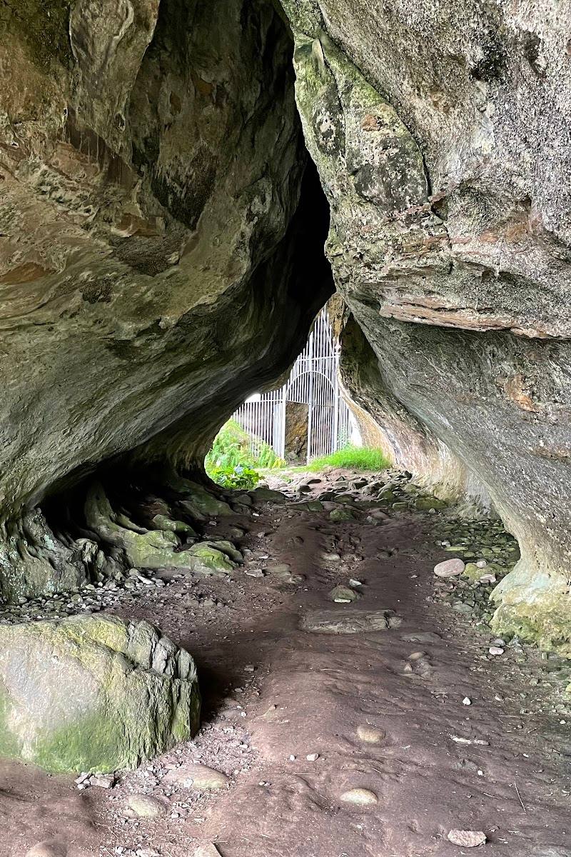
The appeal is the contrast: a forest path opens onto exposed Arran coastline, where a rocky shore leads to a substantial cave marked by carvings from different periods. It is a rewarding walk with tangible details to explore, not just a cave entrance to photograph.
Atmospheric · Wild
Find your way
Open mapWest coast of the Isle of Arran, near Blackwaterfoot, Scotland
Opening map…
Know this place a little better?
The experience
Walk a forest-and-coast circuit to explore the caves and their carvings, with open views towards Machrie Moor, Drumadoon Cliffs and across Kilbrannan Sound. The published circuit is about 4.5 km and takes roughly 1.5–2 hours.
Things to do
Follow the forest-and-coast circuit
Walk from the forestry car park through mixed forest, out to the coast and back. The published circuit is 4.5 km, with a rocky descent and rougher ground beside the shore.
1.5–2 hours
Explore King’s Cave
The cave is a spacious shore-side cavern. A torch can help you see inside; take care not to damage the carvings on its walls.
Take in the views from the open path
The walk opens out beyond the trees, with views towards Machrie Moor and Drumadoon Cliffs; the route description also notes views across Kilbrannan Sound towards Kintyre.
Look for the hut-circle site
The route passes the site of a hut circle near the start. Its exact age and interpretation are not established by the supplied sources.
Make a day of it
Quick escape · 1.5–2 hours
Quick Escape: the cave circuit
- 01
Start from the forestry car park about 3 km north of Blackwaterfoot.
- 02
Follow the forest path and descend the rocky gully to the shore.
- 03
Explore King’s Cave and look for the reported carvings; bring a torch and do not touch or damage them.
- 04
Follow the circular route back through the forest.
Half day · Half day
Make a half day of it: cave, coast and views
- 01
Walk the full circuit from the forestry car park, allowing time for the rough shore section.
- 02
Pause at the caves to explore the spacious interior with a torch and look carefully for the inscriptions.
- 03
Take in the open coastal views towards Machrie Moor, Drumadoon Cliffs and the Kintyre peninsula.
- 04
After the walk, make your own plans in Blackwaterfoot; check local food options before travelling.
Hidden details
A hut-circle site beside the route — The walk passes the site of a hut circle near the beginning of the circuit. The supplied route description does not provide further archaeological detail.
When to go
· Choose a dry, calm period when the rocky shore is easier to negotiate; no specific time of day is established by the sources.
The shore section is rocky and rough, and the source recommends considering conditions; wet and windy weather can make the walk less pleasant. The available sources do not identify a particular best season.
The descent and shore section are rocky and can be slippery or difficult in poor weather. Check current trail notices and conditions, wear suitable footwear and bring a torch for the cave.
The route
- ascent
- 140 m
- surface
- Good forest paths followed by a rockier, rougher shore section; the path can disappear along the foreshore.
- distance
- 4.5 km / 2.75 miles
- duration
- 1.5–2 hours
- difficulty
- Moderate; includes a rocky, rough section beside the shore and a descent through a gully.
- waymarking
- The route begins at a signed forestry car park; further waymarking details are not specified.
- route shape
- Circular
- start point
- Forestry car park about 3 km north of Blackwaterfoot on the A841; grid reference NR897315.
- parking start
- Start at the forestry car park. Capacity and current parking arrangements are not specified; check before visiting.
- Forest path and open views towards Machrie Moor and Drumadoon Cliffs
- Rocky gully descent to the coast
- King’s Cave and reported carvings
- Views across Kilbrannan Sound towards Kintyre
What to look for
Look for carvings described as serpents, deer, horses and crosses, as well as Ogham inscriptions. The walk also passes a hut-circle site near the start. Take a torch to see inside the cave and avoid touching or damaging the carvings.
The story
Folklore & legend, Archaeology
Best time to go
A dry, settled day is preferable for the rough shore section; check conditions before visiting.
Choose a dry, relatively calm day so the rocky shore and descent are more manageable. A torch is useful inside the cave; take care not to damage the carvings.
How long to spend
1–2 hours
Perfect for
Walkers · History lovers · Photographers
Before you go
Address
Website
Listed hours
- Monday: Open 24 hours
- Tuesday: Open 24 hours
- Wednesday: Open 24 hours
- Thursday: Open 24 hours
- Friday: Open 24 hours
- Saturday: Open 24 hours
- Sunday: Open 24 hours
Check before visiting.
Google rating
Practical information
Opening & access
Reached by a circular walk from the forestry car park about 3 km north of Blackwaterfoot. The route includes a steep, rocky descent to the shore and rough foreshore walking; conditions can be difficult in wet or windy weather. Check current trail notices and access before setting out.
Check before visiting
Parking
A forestry car park is the walk start, about 3 km north of Blackwaterfoot on the A841. Parking capacity and current conditions are not specified; check before visiting.
Check before visiting
Toilets
Check before visiting
Check before visiting
Food & drink
Check before visiting
Check before visiting
Dogs
Check before visiting
Check before visiting
Accessibility
Not wheelchair accessible according to the source row. The walk includes uneven woodland paths, a steep rocky descent and rough coastal ground; it is not suitable for all mobility levels.
Cost
Check before visiting
Check before visiting
Water
Sea
Gallery
Place photographs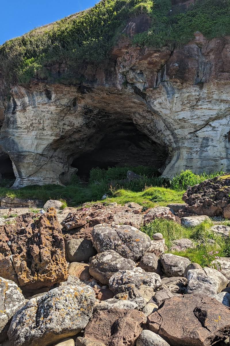
Keep exploring
Around King’s Caves
Within 50 km · approximate straight-line distances