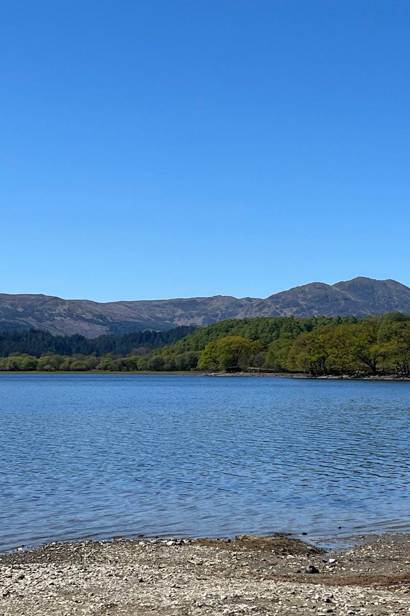
Near Callander, Loch Lomond and The Trossachs, Scotland
Loch Venachar
Reservoir
Place photograph
6.3
Wildland
Half day, Full day
Time
Free
Cost
Peaceful
Feel
Why it's Wildland
6.3A long, wooded loch between Callander and Brig o’ Turk, with a circular shoreline walk, cycle-route links and an Iron Age crannog reported on Portnellan Island.
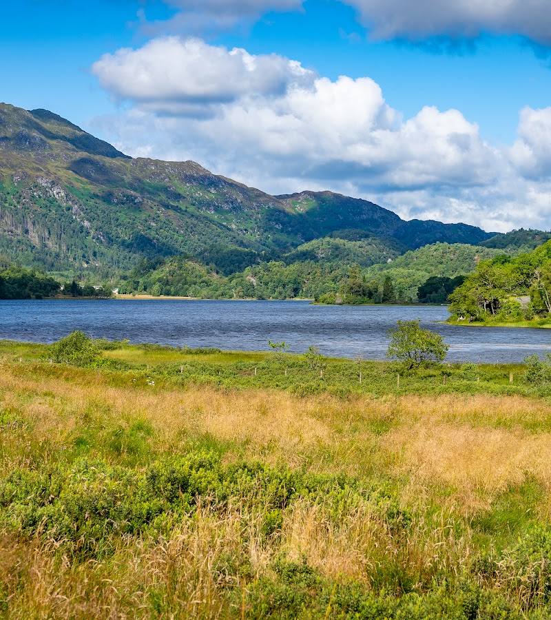
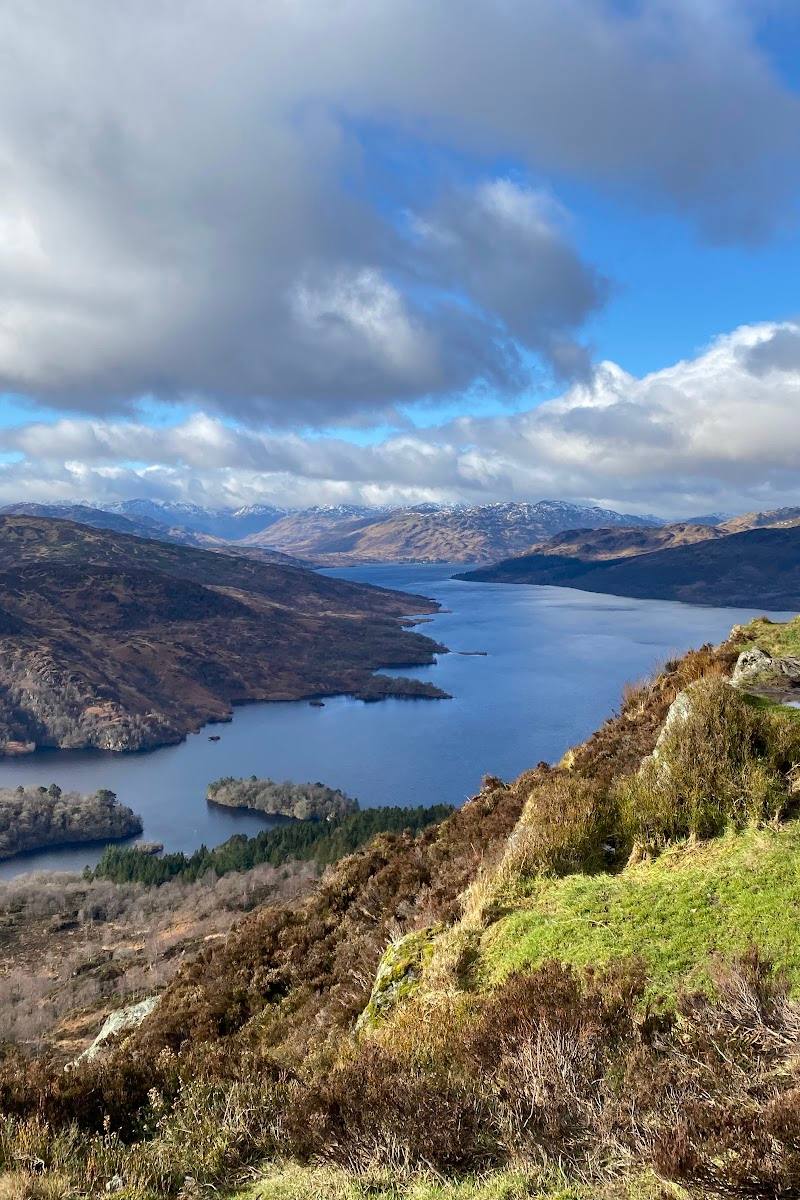
Loch Venachar earns its place for the combination of broad freshwater views, wooded shores and a substantial waymarked circuit. It offers more than a roadside viewpoint: the shoreline routes make it possible to spend real time moving through the Trossachs landscape.
Peaceful · Wild
Find your way
Open mapNear Callander, Loch Lomond and The Trossachs, Scotland
Opening map…
Know this place a little better?
The experience
Come for a short lochside stop or take on the longer circular walk. The full route links wooded shore paths, lanes and cycle-route sections, with views across the loch and a reported Iron Age crannog at Portnellan Island.
Things to do
Walk the circular route
A route guide describes an 11.9-mile circular walk around Loch Venachar, with wooded paths, lanes and lochside sections. It rates the route hard and reports 1,486 ft of ascent.
4.5–6.5 hours
Look for Portnellan Island
The route guide identifies Portnellan Island as an Iron Age crannog. View it from an appropriate shore or route viewpoint; the source does not establish permission to land on the island.
Follow the lochside cycle-route section
The described walking circuit follows signs for Cycle Route 7 along part of the south shore. Check current route conditions and whether the section suits your chosen activity.
Make a day of it
Quick escape · Under 1 hour
A short lochside pause
- 01
Use a suitable, confirmed access point beside the loch.
- 02
Take in the water and wooded-hills setting.
- 03
Check current access and parking arrangements before travelling.
Half day · 4.5–6.5 hours
Walk the Loch Venachar circuit
- 01
Start from Little Druim Wood car park, after checking current parking and access.
- 02
Follow the described circuit along the north shore and around to the south shore.
- 03
Look across to Portnellan Island and pause at suitable viewpoints.
- 04
Allow for the long distance, reported ascent and potentially boggy ground.
Verified history
The supplied route guide describes Portnellan Island as an Iron Age crannog—an artificial island associated with prehistoric settlement. This is a reported historical feature; the supplied sources do not provide further archaeological detail.
Hidden details
Portnellan Island’s crannog — Look out for Portnellan Island from the lochside: the supplied route guide identifies it as an Iron Age crannog. Do not assume that landing or access to the island is permitted.
When to go
March · April · May · June · July · August · September · October · Choose a clear spell for views across the loch and surrounding hills; check weather and ground conditions before walking.
The supplied route guide recommends March to October for the circular walk. It does not give month-by-month nature or seasonal highlights.
Check the forecast and path conditions before setting out. The route guide notes boggy terrain on parts of the walk.
The route
- ascent
- 1,486 ft (453 m)
- surface
- A mix of paths, lanes and forest/lochside sections; boggy ground is reported in places.
- distance
- 11.9 miles (19.2 km)
- duration
- 4.5–6.5 hours
- difficulty
- Hard
- waymarking
- Average signage reported; route guide describes T and oak symbols and Cycle Route 7 signs.
- route shape
- Circular loop
- start point
- Little Druim Wood car park, as described by the route guide.
- parking start
- The route guide describes free parking at Little Druim Wood car park. Check current availability and access.
- shorter alternative
- The supplied route guide suggests arranging transport from the far end to make a one-way walk; it does not specify a shorter circular route.
- Views across Loch Venachar and surrounding hills
- Wooded sections along the shore
- Portnellan Island, identified by the route guide as an Iron Age crannog
- Sections following Cycle Route 7
Worth pairing with
Callander
A nearby town with cafés and independent shops, described by the supplied regional guide. Check individual businesses’ current opening details.
Loch Katrine
A separate lochside destination mentioned in the regional guide, with a lochside path and visitor facilities described there. Check current availability before making plans.
What to look for
Look for Portnellan Island, described in the supplied route guide as an Iron Age crannog, and notice how the loch views change between its wooded shores.
The story
Archaeology
Best time to go
March to October for the circular walk; conditions and route suitability should be checked before visiting.
March to October is the route guide’s suggested season. Choose a clear day for the loch and surrounding hills, and check the forecast and ground conditions before setting off.
How long to spend
Half day, Full day
Perfect for
Walkers · Photographers · Cyclists
Before you go
Address
Google rating
Practical information
Opening & access
Access points and route details vary around the loch. Check current access, route conditions and any local restrictions before setting out; do not assume that swimming or other water activities are permitted. Access arrangements are unconfirmed. Check before visiting; do not enter private land or restricted structures.
Check before visiting
Parking
A route guide identifies Little Druim Wood car park as a start point and describes parking there as free. Check current availability before travel.
Check before visiting
Toilets
A route guide reports no toilets on the circular walk; check before visiting.
Check before visiting
Food & drink
A route guide mentions Venachar Lochside café/restaurant and the Byre Inn on or near its described circuit. Check opening and availability before visiting.
Check before visiting
Dogs
Check local rules and route conditions before visiting.
Check before visiting
Accessibility
The full circular walk is described as 11.9 miles (19.2 km), hard, with 1,486 ft (453 m) of ascent. The route description includes uneven and potentially boggy sections; it is not presented as an accessible path.
Cost
Free
Water
Reservoir
Gallery
Place photographs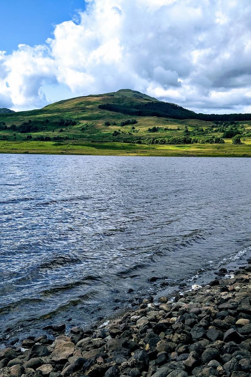
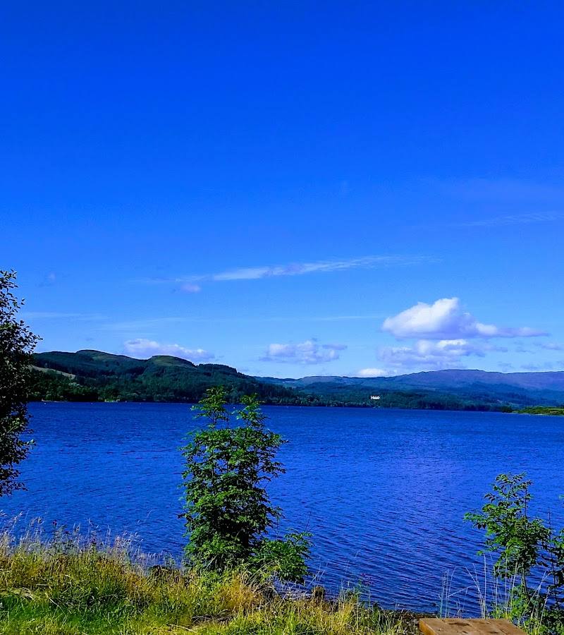
Keep exploring
Around Loch Venachar
Within 50 km · approximate straight-line distances