Above Grasmere, near Ambleside, Cumbria
Helm Crag
route · Countryside walk
Place photograph
7.6
Wildland
2–3 hours
Time
Check
Cost
Dramatic
Feel
Why it's Wildland
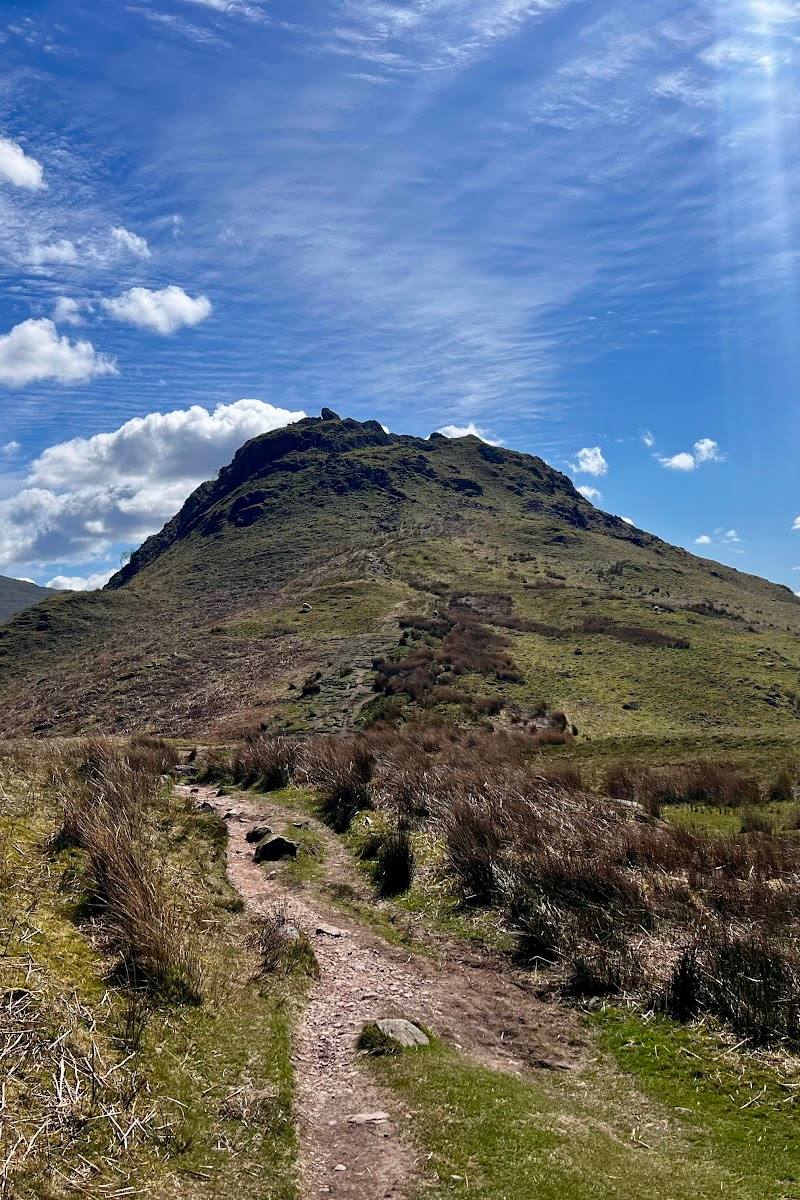
7.6A rocky summit above Grasmere, crowned by the distinctive formation traditionally known as the Lion and the Lamb.
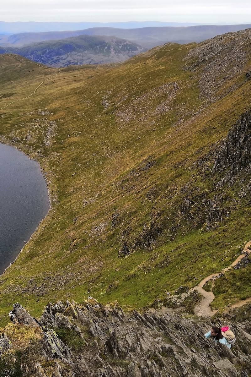
Helm Crag packs a proper fell ascent, a characterful rocky summit and broad Lake District views into a compact walk from Grasmere. Its summit rocks give the climb a memorable destination beyond simply reaching the top.
Dramatic · Wild
Find your way
Open mapAbove Grasmere, near Ambleside, Cumbria
Opening map…
Know this place a little better?
The experience
Allow around 2–3 hours for the approximately 6 km walk described by the supplied route guide. Expect an uphill fell walk and rocky summit terrain; the true summit involves a short scramble, according to the supplied attraction information.
Things to do
Reach the rocky summit
Climb above Grasmere to the distinctive summit rocks. The supplied attraction information notes that reaching the true summit involves a short scramble.
Part of a 2–3 hour walk
Find the Lion and the Lamb
Look for the summit rock formation traditionally called the Lion and the Lamb.
Take in the surrounding fells
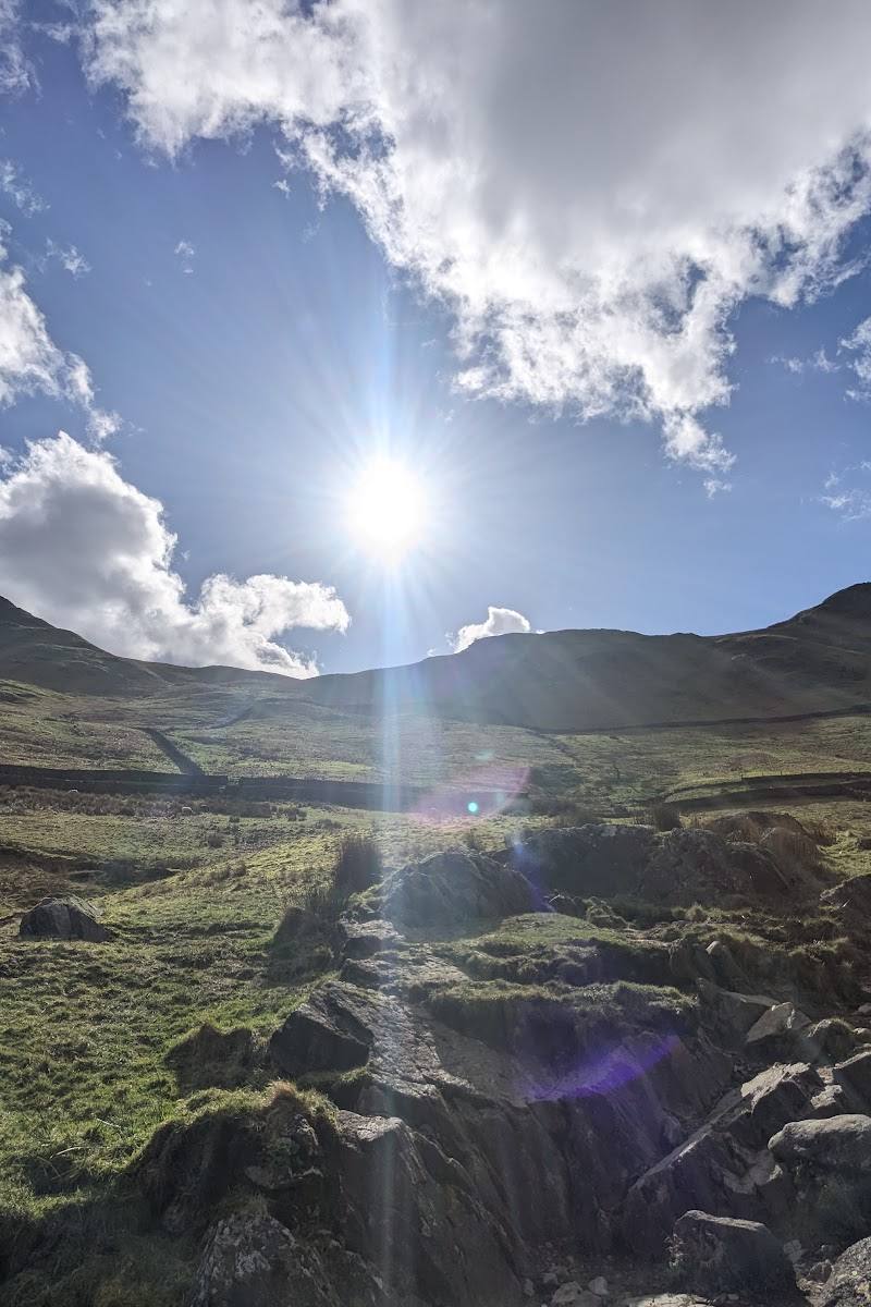
From the summit, look towards the Langdale Pikes, Coniston Fells and Eastern Fells when visibility is good.
Make a day of it
Quick escape · 2–3 hours
Quick Escape: climb to the summit
- 01
Start from Grasmere using a current route guide.
- 02
Follow the ascent to Helm Crag’s rocky summit.
- 03
Look for the Lion and the Lamb formation and take in the surrounding fell views.
- 04
Return to Grasmere by the route you planned.
Verified history
The supplied sources describe Helm Crag as a fell above Grasmere, about 405 metres high, and identify it as a Wainwright fell. The summit is known for the rock formation traditionally called the Lion and the Lamb.
Folklore & legend
The name Lion and the Lamb is given traditionally to the distinctive summit rock formation; the supplied sources do not provide a further legend.
When to go
· Check the weather and visibility forecast; the supplied sources do not identify a preferred time.
The supplied sources do not establish seasonal highlights. Conditions on a fell can change, so check a current mountain forecast before setting out.
Check the mountain forecast before walking. The supplied video source specifically points walkers towards a mountain-top forecast rather than relying on conditions in the village.
The route
- surface
- Rocky terrain at the summit; other surface details are not established by the supplied excerpts.
- distance
- Approximately 6 km (3.7 miles)
- duration
- 2–3 hours
- difficulty
- Moderate; a steep climb and short summit scramble are described in the supplied sources.
- start point
- Grasmere; the supplied route guide gives The Grand at Grasmere as its starting point.
- parking start
- Check before visiting. The supplied route guide mentions complimentary guest parking at The Grand; confirm availability and whether it is appropriate for your visit.
- The Lion and the Lamb summit rock formation
- Views towards the Langdale Pikes, Coniston Fells and Eastern Fells
What to look for
Look for the summit rocks known traditionally as the Lion and the Lamb, and views towards the Langdale Pikes, Coniston Fells and Eastern Fells when conditions allow.
Best time to go
Check local conditions before setting out; the supplied sources do not identify a reliably best season.
The supplied sources do not establish a best time of day. Check the mountain forecast and conditions before starting.
How long to spend
2–3 hours
Perfect for
Walkers · Photographers
Route at a glance
Duration
2–3 hours
Terrain
Hills, Valley
Parking / start
Check before visiting. One supplied route guide mentions complimentary guest parking at its hotel starting point; this should not be treated as general public parking.
Before you go
Address
Google rating
Practical information
Opening & access
A commonly walked fell route from Grasmere is described in the supplied sources. Check current local access conditions before setting out.
Check before visiting
Parking
Check before visiting. One supplied route guide mentions complimentary guest parking at its hotel starting point; this should not be treated as general public parking.
Check before visiting
Toilets
Check before visiting
Check before visiting
Food & drink
Check before visiting
Check before visiting
Dogs
Check before visiting
Check before visiting
Accessibility
A fell ascent with a steep climb and rocky summit; the supplied sources describe scrambling at the summit. Not suitable for assuming step-free access.
Cost
Check before visiting
Check before visiting
Gallery
Place photographs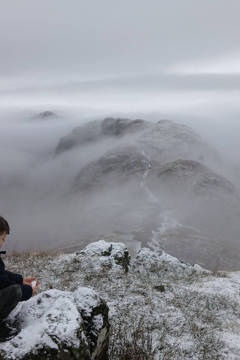
Keep exploring
Around Helm Crag
Within 50 km · approximate straight-line distances