Below Helvellyn and Catstye Cam, above Glenridding, Lake District, Cumbria
Red Tarn
Lake
Place photograph
8.0
Wildland
Half day
Time
Check
Cost
Dramatic
Feel
Why it's Wildland
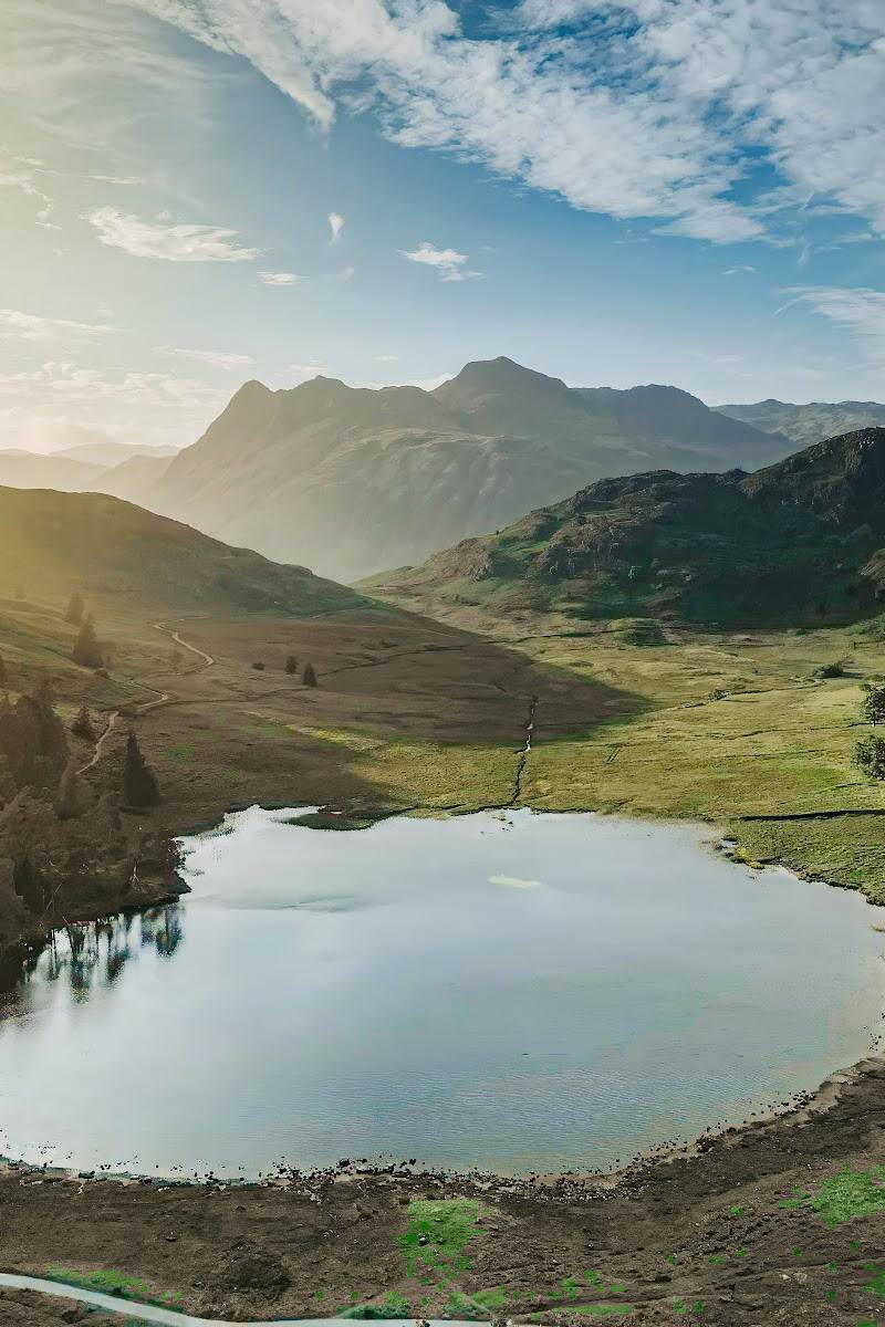
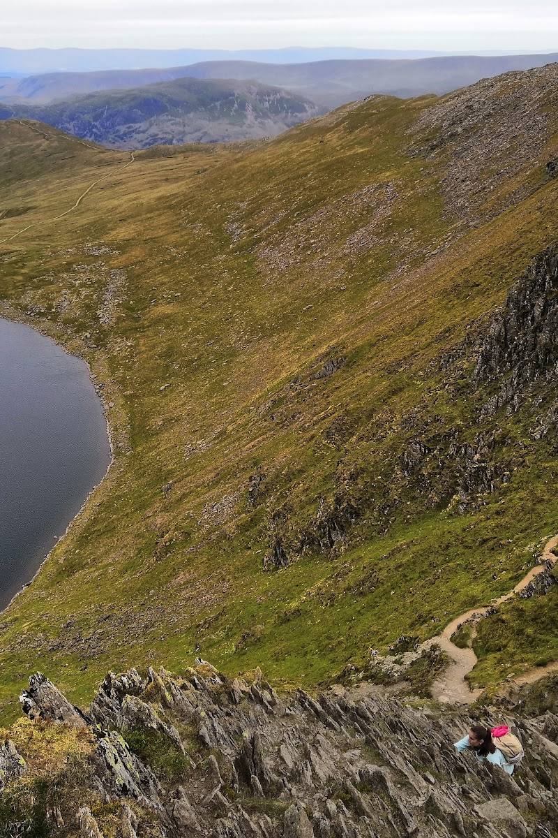
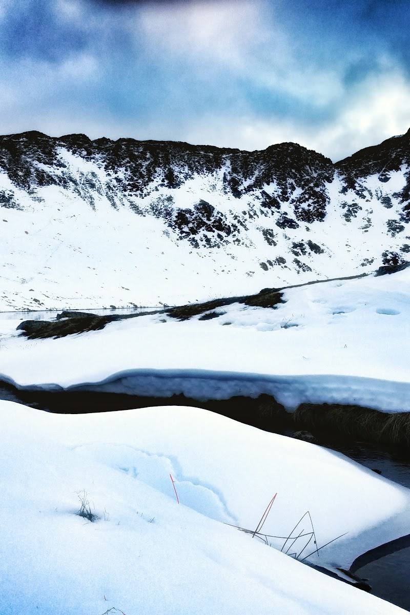
8.0A mountain tarn tucked beneath Helvellyn and Catstye Cam, reached on a demanding circuit from Glenridding that climbs past Lanty’s Tarn and Glenridding Beck before returning through the valley.
Red Tarn is not a roadside waterside stop: the climb earns its setting beneath Helvellyn’s crags, with Ullswater views and a dramatic high-mountain basin as the reward. The sourced circuit is a substantial outing, with steep and rough ground that calls for suitable footwear and careful conditions planning.
Dramatic · Wild · Remote
Find your way
Open mapBelow Helvellyn and Catstye Cam, above Glenridding, Lake District, Cumbria
Opening map…
Know this place a little better?
The experience
Walk the 6.6-mile circular route from Glenridding via Glenridding Beck and Lanty’s Tarn to Red Tarn, then descend by Red Tarn Beck and Glenridding Beck. Allow 4–4.5 hours; expect 1,998 ft of ascent and rough, steep sections.
Things to do
Reach Red Tarn beneath Helvellyn
Follow the Glenridding circular via Lanty’s Tarn and climb to the mountain tarn between Helvellyn and Catstye Cam.
4–4.5 hours for the full circular route
Look back towards Ullswater
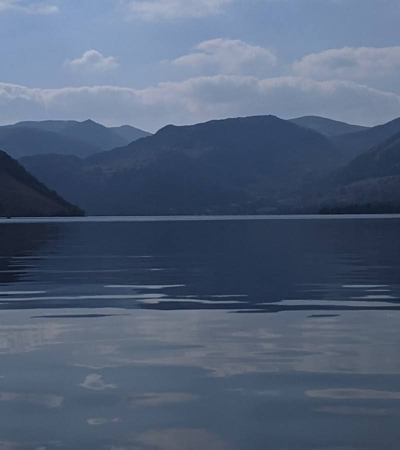
The route source notes views over Ullswater from the climb; pause where the path and conditions allow.
Pass Lanty’s Tarn and follow the valley becks
Lanty’s Tarn is on the approach; the return follows Red Tarn Beck and Glenridding Beck through the valley.
Make a day of it
Quick escape · 4–4.5 hours
The Red Tarn circular
- 01
Start in Glenridding and follow the route beside Glenridding Beck.
- 02
Pass Lanty’s Tarn, then climb to Red Tarn beneath Helvellyn and Catstye Cam.
- 03
Descend beside Red Tarn Beck and follow Glenridding Beck through the valley back to the trailhead.
- 04
Allow for steep, rough sections; take particular care when conditions are wet.
When to go
· Check conditions before setting out; no best time of day is established by the supplied sources.
The supplied sources do not establish a best season. Mountain weather and wet, slippery ground are relevant hazards; check conditions before visiting.
The route has steep and rough sections that may be slippery in wet conditions. Check the mountain forecast and ground conditions before setting out.
The route
- ascent
- 1,998 ft (609 m)
- surface
- Rough and steep sections; exact surface not specified
- distance
- 6.6 mi (10.6 km)
- duration
- 4–4.5 hours estimated
- difficulty
- Moderate (as labelled by AllTrails); steep and rough sections require care
- waymarking
- Not specified
- route shape
- Loop
- start point
- Glenridding
- parking start
- Parking details are not established by the supplied sources; check before visiting.
- Glenridding Beck
- Lanty’s Tarn
- Red Tarn between Helvellyn and Catstye Cam
- Views over Ullswater
- Return by Red Tarn Beck and Glenridding Beck
Worth pairing with
Glenridding pub and tearooms
The route source notes a pub and tearooms by the Glenridding trailhead for post-walk refreshments; verify current availability.
What to look for
Notice the tarn’s position beneath Helvellyn and Catstye Cam, and look back for views over Ullswater as the route climbs. The circuit also passes Lanty’s Tarn and follows the beck through the valley.
Best time to go
Check mountain conditions before setting out; the supplied sources do not establish a best season.
No source-backed best time of day or seasonal window is available. Check the mountain forecast and ground conditions before setting out.
How long to spend
Half day
Perfect for
Walkers · Photographers
Before you go
Address
Google rating
Practical information
Opening & access
Reached on foot by a steep, strenuous mountain walk. The sourced circular route starts in Glenridding and is 6.6 miles (10.6 km), with 1,998 ft (609 m) of ascent; allow 4–4.5 hours. Rough, steep sections can be slippery, especially in wet weather.
Parking
The cited route starts in Glenridding; parking arrangements are not established by the supplied sources. Check before visiting.
Check before visiting
Toilets
Check before visiting
Check before visiting
Food & drink
The cited route source mentions a pub and tearooms by the trailhead in Glenridding; check current availability before visiting.
Check before visiting
Dogs
Livestock may be present along the route; take care with dogs. Check current local guidance and signage before visiting.
Check before visiting
Accessibility
Not suitable for step-free access: the cited route is a steep mountain walk with rougher sections and substantial ascent.
Cost
Check before visiting
Check before visiting
Water
Lake
Gallery
Place photographs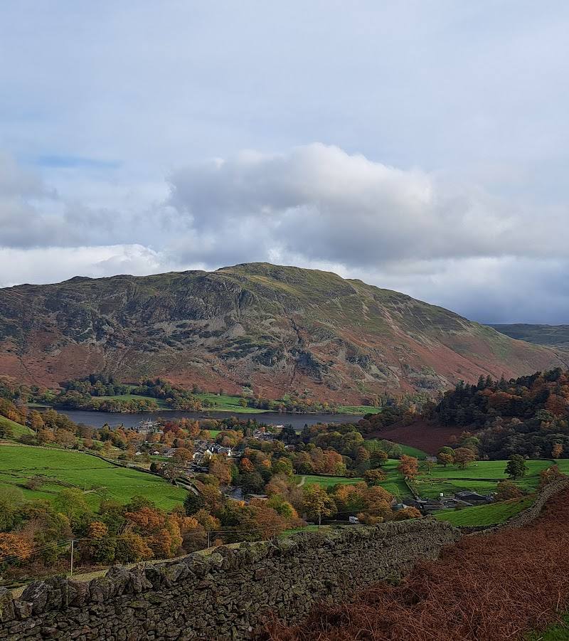
Keep exploring
Around Red Tarn
Within 50 km · approximate straight-line distances