Bellingham, Northumberland, England
Hareshaw Linn
route · Woodland walk
Place photograph
8.1
Wildland
1–2 hours
Time
Check
Cost
Atmospheric
Feel
Why it's Wildland
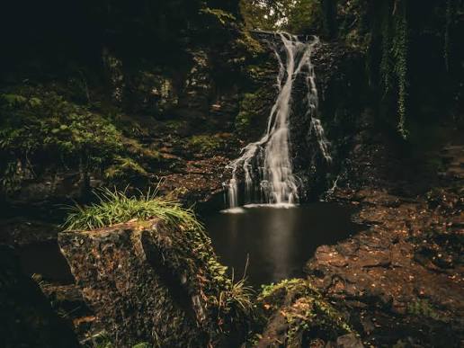
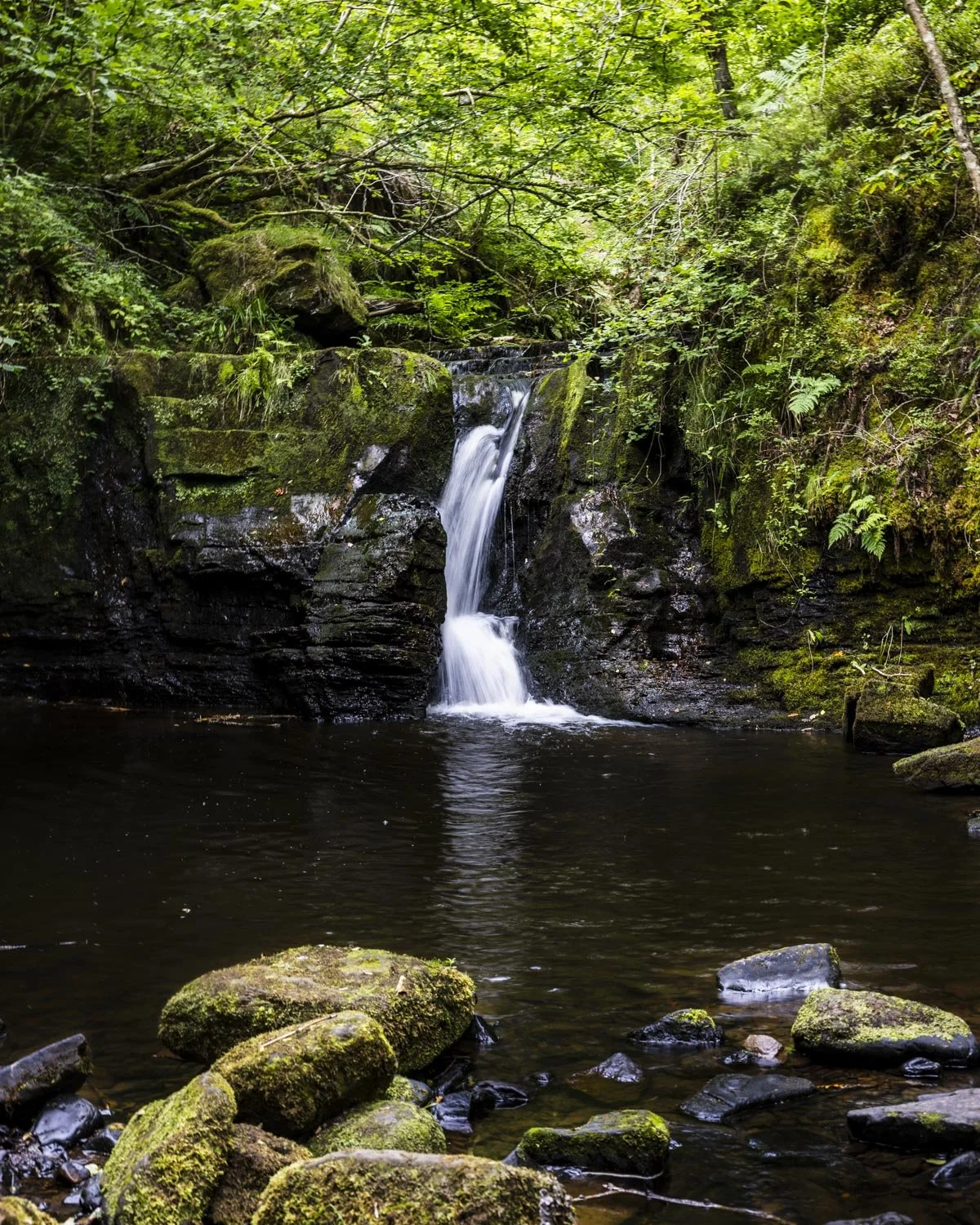
8.1Six bridges lead through a wooded gorge to a 30-foot waterfall.
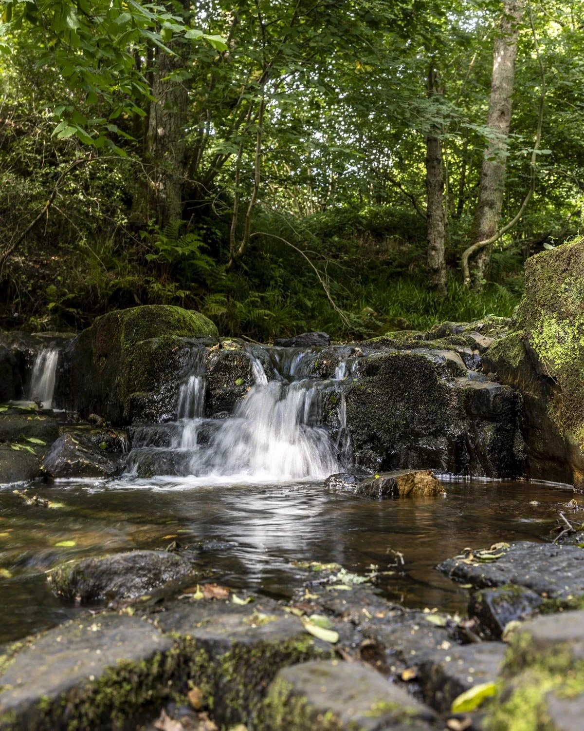
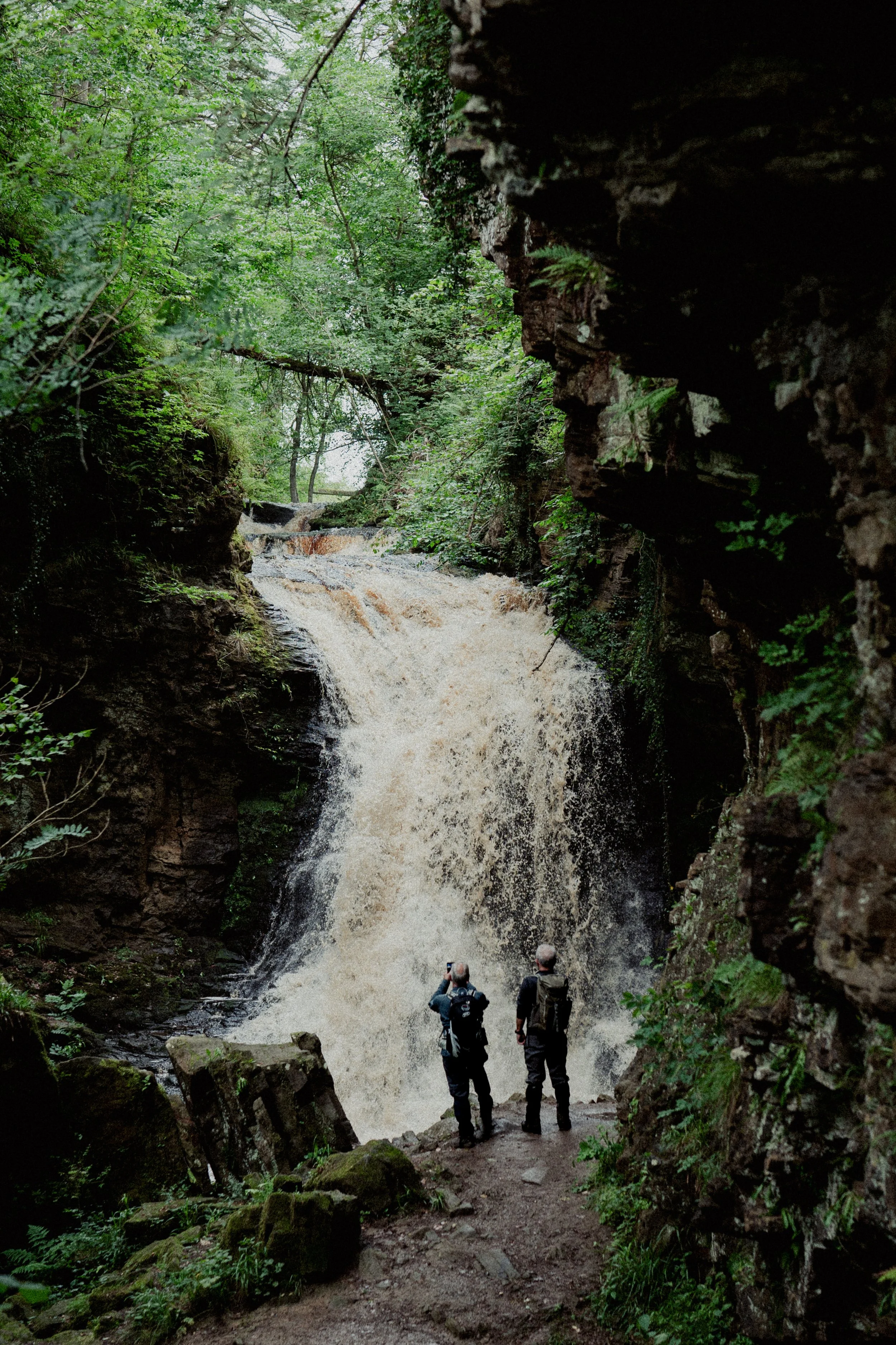
The waterfall is the finale, not the whole attraction. A winding burn, six footbridges and oak, hazel, elm and ash make the approach worthwhile in its own right, before the path reaches the moss-covered gorge.
Atmospheric · Peaceful
Find your way
Open mapBellingham, Northumberland, England
Opening map…
The experience
Walk upstream from Bellingham through mixed woodland, taking time over the bridges and rougher sections. Look into the canopy for woodland birds before reaching the waterfall, then retrace the route. This is roughly three miles in total, not a short stroll from a roadside viewpoint.
Things to do
Follow the burn across six bridges
Take the three-mile return woodland walk from Bellingham, following Hareshaw Burn into the gorge. The path is defined but includes uneven, steep and muddy sections.
Around 1.5–2 hours, estimated
See the waterfall within its mossy gorge
The approximately 30-foot cascade is the walk's turning point. Enjoy the surrounding moss-covered rock from the established path rather than scrambling towards the water or behind the falls.
Watch the woodland as well as the water
Look and listen for woodpeckers and wood warblers, and keep an eye out for red squirrels. These are reported in the woodland, not guaranteed encounters.
Make a day of it
Quick escape · Allow around 1.5–2 hours; editorial estimate for the three-mile return walk
Quick escape — six bridges to the falls
- 01
Start at Hareshaw Linn car park in Bellingham and follow the established path upstream beside Hareshaw Burn.
- 02
Cross the six bridges, slowing down on steps, roots and muddy sections.
- 03
Pause to enjoy the waterfall from the established path; do not seek out ledges behind the falls.
- 04
Return along the same route to Bellingham.
Hidden details
A varied canopy above the burn — The approach passes through oak, hazel, elm and ash. Notice the different leaves and branching shapes rather than treating the woodland simply as the way to the waterfall.
When to go
May · June · July · August · September · Mid-morning for photography, as suggested by the source row; no fixed optimum is established.
The source row recommends late spring to early autumn for woodland greenery. Waterfall flow depends on recent rainfall, not simply the month.
Wear grippy walking footwear: the documented route includes steep sections, steps and muddy patches. The source row also warns of slippery roots and rocks, narrow bridges and limited signal beyond the village. Avoid high-water conditions and do not approach the ledge behind the waterfall.
The route
- surface
- Defined woodland path with uneven ground, steps, muddy patches and footbridges
- distance
- Approximately 3 miles / 4.8 km return
- duration
- Allow around 1.5–2 hours; editorial estimate
- difficulty
- Uneven walking with steep sections and steps; no official grade supplied
- route shape
- Out and back
- start point
- Hareshaw Linn car park, Bellingham
- parking start
- Start at Hareshaw Linn car park. Free parking is reported in the source row and visitor accounts; check current signs.
- Hareshaw Burn
- Six footbridges
- Mixed woodland
- Approximately 30-foot waterfall within a moss-covered gorge
What to look for
- 01
The six footbridges
- 02
oak, hazel, elm and ash along the burn
- 03
moss-covered rock around the waterfall. Red squirrels, woodpeckers and wood warblers are reported locally, but sightings are not guaranteed.
Best time to go
Late spring to early autumn for woodland greenery; choose settled weather.
Late spring to early autumn suits a leafy woodland walk. Mid-morning is the source row's suggested photography window, though light and flow vary. Choose settled conditions rather than chasing the waterfall immediately after heavy rain.
How long to spend
1–2 hours
Perfect for
Walkers · Photographers · Wildlife lovers
Route at a glance
Duration
1–2 hours
Terrain
Woodland
Parking / start
Hareshaw Linn car park in Bellingham is the documented starting point. The source row and visitor accounts report free parking; check current signs.
Practical information
Opening & access
An established walking route promoted by Northumberland National Park, starting at Hareshaw Linn car park in Bellingham. Follow the burn upstream and return the same way; check current trail conditions before setting out.
Check before visiting
Parking
Hareshaw Linn car park in Bellingham is the documented starting point. The source row and visitor accounts report free parking; check current signs.
Check before visiting
Toilets
The source row reports toilets in Bellingham village, not on the trail. Check before visiting.
Check before visiting
Food & drink
The source row reports nearby cafés or pubs but names none. Check before visiting.
Check before visiting
Dogs
The source row describes the walk as dog-friendly, supported by visitor accounts. Check current signage for lead requirements.
Check before visiting
Accessibility
Uneven woodland paths with steep sections, steps, muddy patches and footbridges. Not a step-free route; the source row records it as unsuitable for wheelchairs.
Cost
Check before visiting
Check before visiting
Water
Stream, Waterfall
Gallery
Place photographs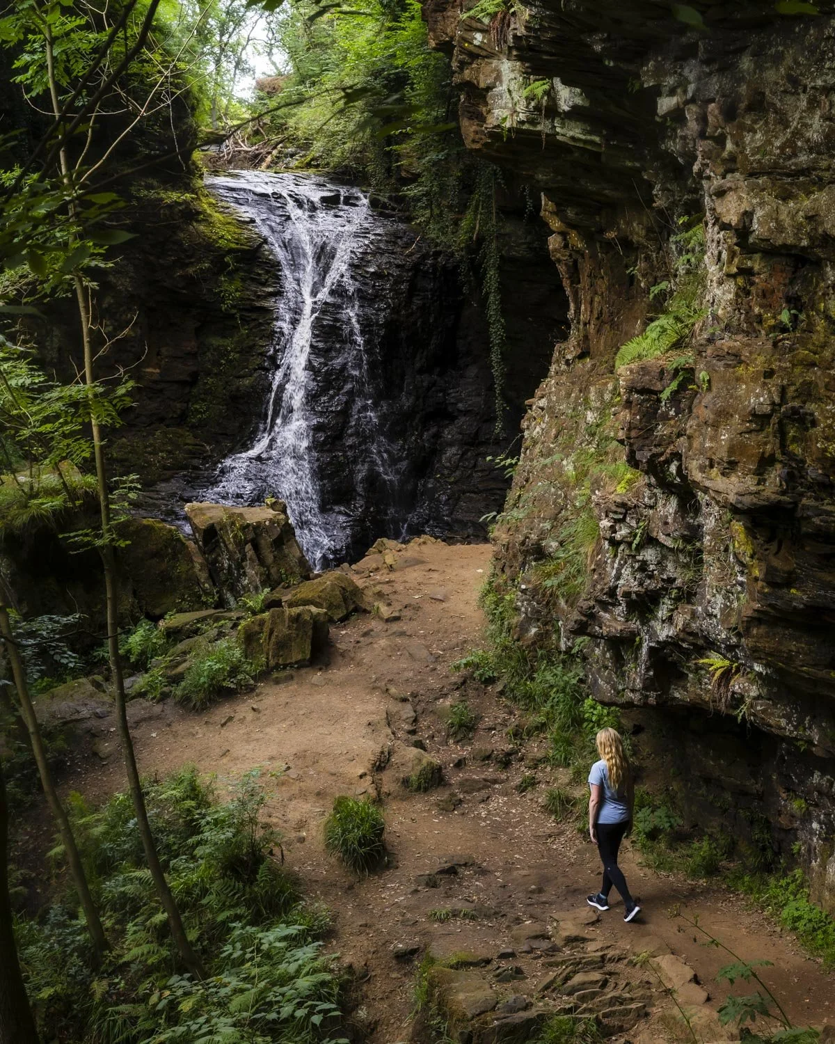
Keep exploring
Around Hareshaw Linn
Within 50 km · approximate straight-line distances
 Source image5.8
Thornley Woods Sculpture Trail
Thornley Woods, near Rowlands Gill, County Durham
41.9 km away
Derwent Gorge and Muggleswick Woods
Between Muggleswick and Castleside, County Durham
42.4 km away