Betws-y-Coed, Conwy, Eryri (Snowdonia), Wales
Gwydir Forest Park
Forest recreation landscape
Place photograph
6.8
Wildland
1–2 hours
Time
Paid
Cost
Wild
Feel
Why it's Wildland
6.8From an easy boardwalk beneath towering Douglas firs to longer routes linking lakes, forested hills and the remains of lead mines, Gwydir is a landscape best explored on foot. Its trails begin close to Betws-y-Coed, but quickly lead into wooded slopes and lake country.
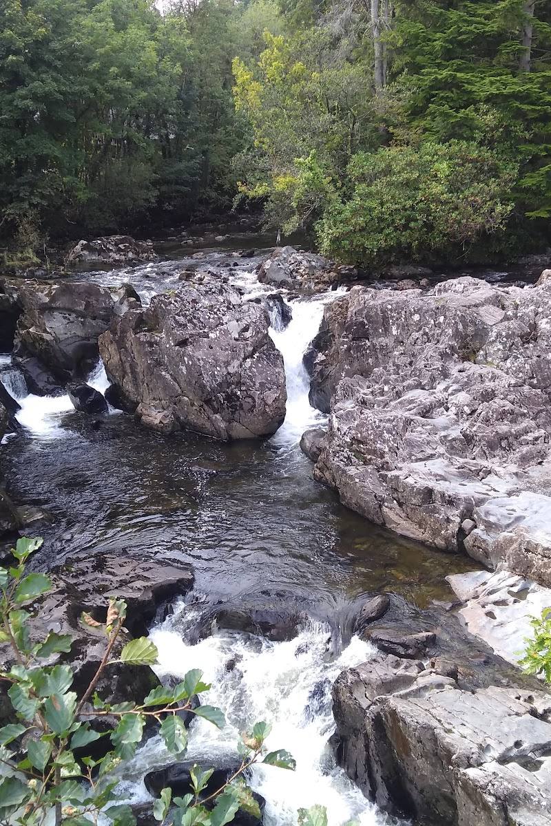
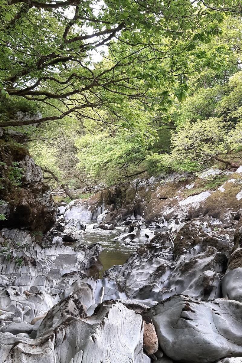
Gwydir earns its place for the variety packed into a forest landscape: riverside paths and giant Douglas firs near the village, steeper woodland climbs, mountain lakes and the visible traces of historic mining. You can choose a short, waymarked outing or a much longer day among the hills.
Wild · Atmospheric · Peaceful
Find your way
Open mapBetws-y-Coed, Conwy, Eryri (Snowdonia), Wales
Opening map…
Know this place a little better?
The experience
Gwydir Forest Park is a network of waymarked walking routes around Betws-y-Coed, with woodland, riverside scenery, lakes, steep forested hillsides and historic mine remains. Routes vary from an easy half-hour boardwalk walk to longer, more demanding hikes.
Things to do
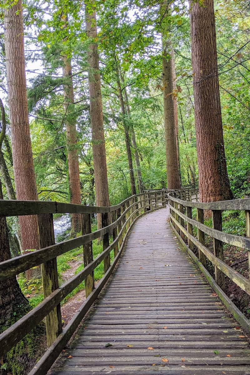
Walk the Coed Tan Dinas boardwalk
Follow the easy trail beneath giant Douglas firs beside the Afon Llugwy, reaching a riverside picnic area before returning through the woods.
30 minutes
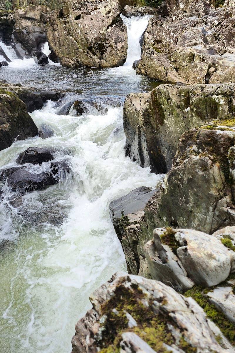
Follow the Afon Llugwy Riverside Walk
Take the moderate route over boardwalk, grass tracks and a narrow footpath, with a return section on a tarmac road. Some parts are muddy or have rocks and exposed roots.
1–1½ hours
Explore the forest’s waymarked walks
Choose a route from the trails starting at Pont y Pair car park, or the Llyn Elsi Walk, which starts behind St Mary’s Church. Routes include easy boardwalk walking, steep climbs and walks around lakes.
Look for historic mine remains
A sourced long circular route passes several remains of former lead and zinc mines in Gwydir Forest. Stick to the route and do not enter restricted or unsafe structures.
Part of a 5–5.5-hour circular route
Try the permanent orienteering course
The permanent course begins just outside Betws-y-Coed and finishes in the village centre. Controls 6 and 7 are reported closed because of a damaged footbridge; turn around at control 5 and continue to control 8 as directed by Natural Resources Wales.
Make a day of it
Quick escape · About 30 minutes
A short walk beneath the Douglas firs
- 01
Start opposite Pont y Pair car park and follow the Coed Tan Dinas boardwalk through the Douglas firs beside the Afon Llugwy.
- 02
Continue to the riverside picnic area, then follow the trail as it climbs through the woods and returns to the car park.
- 03
Look out for trail signs with information about the trees.
Half day · About 2–3 hours, depending on stops
Make a half day of it: forest and river trails
- 01
Choose the Coed Tan Dinas Walk for an easy, short outing, or follow the Afon Llugwy Riverside Walk for a longer route.
- 02
On the riverside walk, expect a mix of boardwalk, grass tracks and a narrow footpath; the route returns along a tarmac road.
- 03
Finish back in Betws-y-Coed, where cafés, tearooms and pubs offer options for a break.
Full Wildland day · About 5–5.5 hours for the sourced circular route
A full forest day linking lakes and mine remains
- 01
Set out from Betws-y-Coed on the circular route through Gwydir Forest and along the Afon Llugwy.
- 02
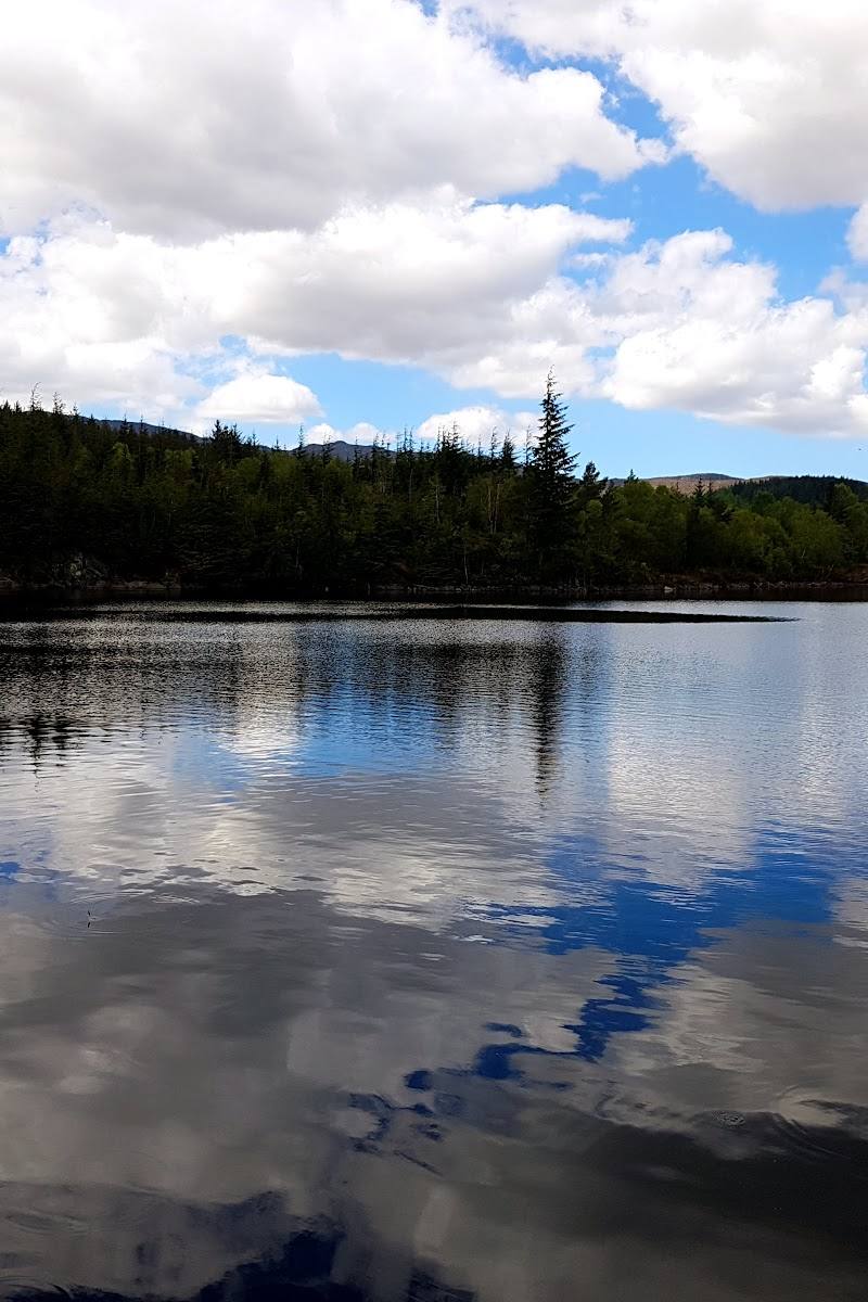
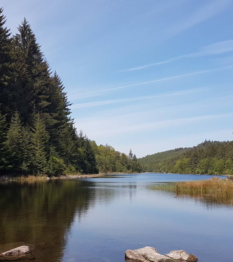
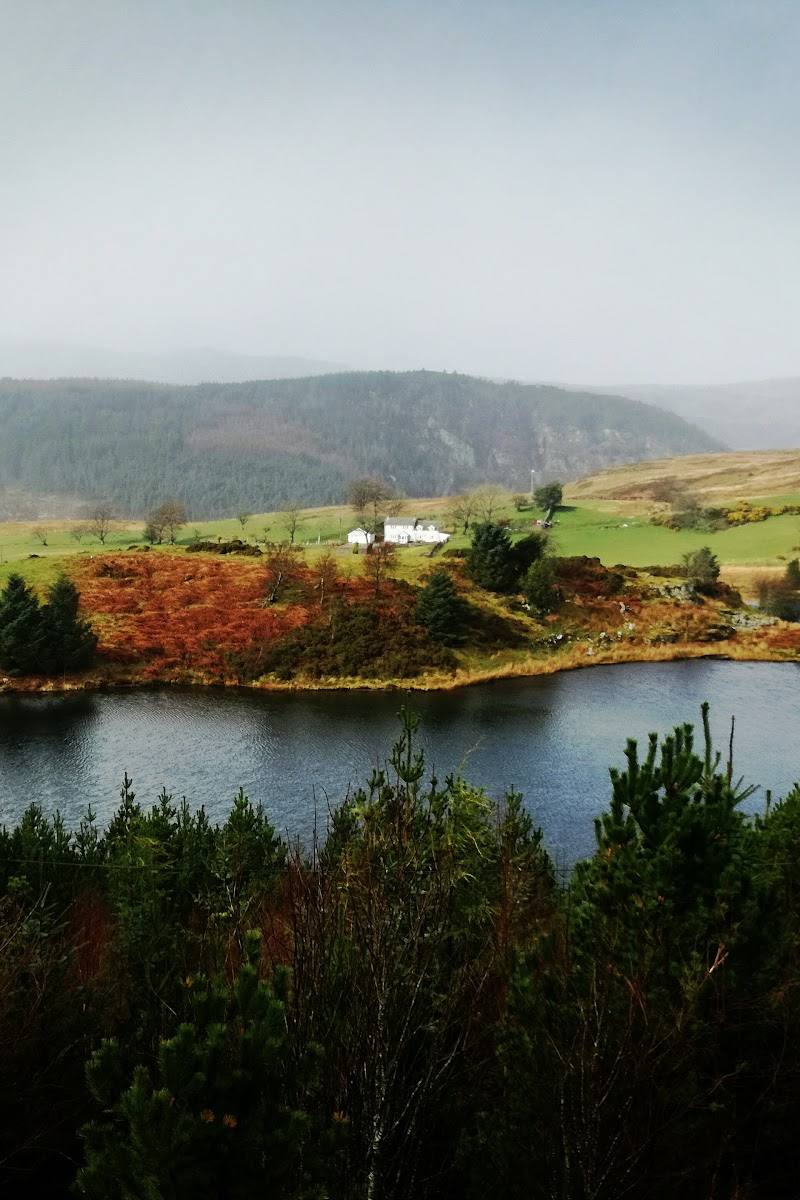
Continue via Swallow Falls and the route’s forest and lake sections, including Llyn Geirionydd and the southern end of Llyn y Parc.
- 03
Pass historic mine remains on the route back towards Betws-y-Coed. The route is hard and includes narrow paths, quiet roads and varied terrain; check route conditions before setting out.
Verified history
The supplied route information describes lead and zinc mining as a prominent part of the area’s past and identifies remains of several old mines along a long circular route through Gwydir Forest. The evidence provided does not establish dates or detailed histories for individual workings.
Hidden details
Tree information along the boardwalk — Look for signs along the Coed Tan Dinas trail that share facts about the trees. The route passes Douglas firs reported to be up to 100 years old.
Mine remains within the forest — A longer circular route passes remains of old lead and zinc mines. The supplied source does not confirm access to the structures themselves; view remains from the route and follow any restrictions.
When to go
April · May · June · July · August · September · October · Start early for a quieter walk; choose a clear day for views from the forested hillsides.
The forest offers walking routes throughout the year, but spring to autumn is a practical window for exploring trails and spending longer outdoors. Conditions and route closures can change.
Weather and trail surfaces can vary. Some routes include steep climbs, narrow paths, mud, rocks and exposed roots. Check forecasts and current Natural Resources Wales notices before setting out.
Worth pairing with
Betws-y-Coed village
Pair a forest walk with the village’s cafés, tearooms, pubs, restaurants, independent shops and landmarks including Pont-y-Pair bridge and St Mary’s Church.
Swallow Falls
A longer circular route from Betws-y-Coed passes Swallow Falls. The supplied route information says the viewing platform is reached from the south side of the river via an entrance fee; check current access and charges before visiting.
What to look for
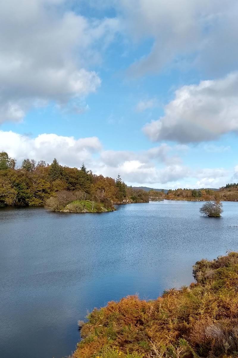
Look for the giant Douglas firs along the Coed Tan Dinas boardwalk, some reported to be up to 100 years old. On longer routes, watch for lakes, steep wooded slopes and the remains of historic lead and zinc mines.
The story
Industry
Best time to go
Spring to autumn for comfortable walking and greener woodland; choose a clear day for far-reaching views. Check trail and weather conditions before setting out.
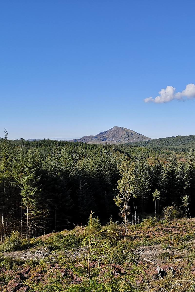
Go on a clear day for views from the forested hillsides. For a quieter walk, set out early; check weather, trail conditions and any temporary closures first.
How long to spend
1–2 hours; Half day; Full day
Perfect for
Walkers · Families · Photographers · History lovers
Before you go
Address
Phone
Website
Google rating
Practical information
Opening & access
Waymarked trails start from Pont y Pair car park in Betws-y-Coed, except the Llyn Elsi Walk, which starts behind St Mary’s Church. The Natural Resources Wales page reports a damaged footbridge closing controls 6 and 7 on the orange orienteering course; check current conditions before setting out. Check before visiting for current access information.
Check before visiting
Parking
Chargeable parking is available at Pont y Pair car park; blue-badge parking is listed. Check current arrangements before visiting.
Check before visiting
Toilets
Public toilets at Pont y Pair car park; a charge applies.
Food & drink
Cafés, tearooms, pubs and restaurants are available in Betws-y-Coed; check current opening details.
Check before visiting
Dogs
Check current route and local guidance before visiting with a dog; no general dog rule is confirmed in the supplied sources.
Check before visiting
Accessibility
A wheelchair-accessible car park and entrance are listed in the source row. Trail accessibility varies: the Coed Tan Dinas route includes a 1.5-metre-wide boardwalk, while other trails may have steep climbs, narrow paths, mud, rocks and exposed roots. Check route details before setting out.
Check before visiting
Cost
Paid
Water
River, Lake
Gallery
Place photographsKeep exploring
Around Gwydir Forest Park
Within 50 km · approximate straight-line distances