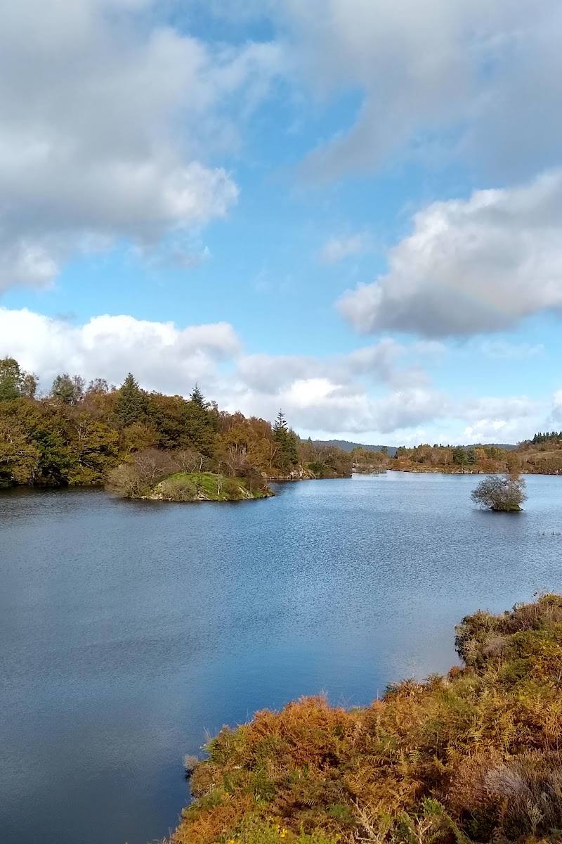
Above Betws-y-Coed, Conwy, Eryri (Snowdonia), Wales
Llyn Elsi
Reservoir
Place photograph
6.5
Wildland
2–3 hours
Time
Check
Cost
Peaceful
Feel
Why it's Wildland
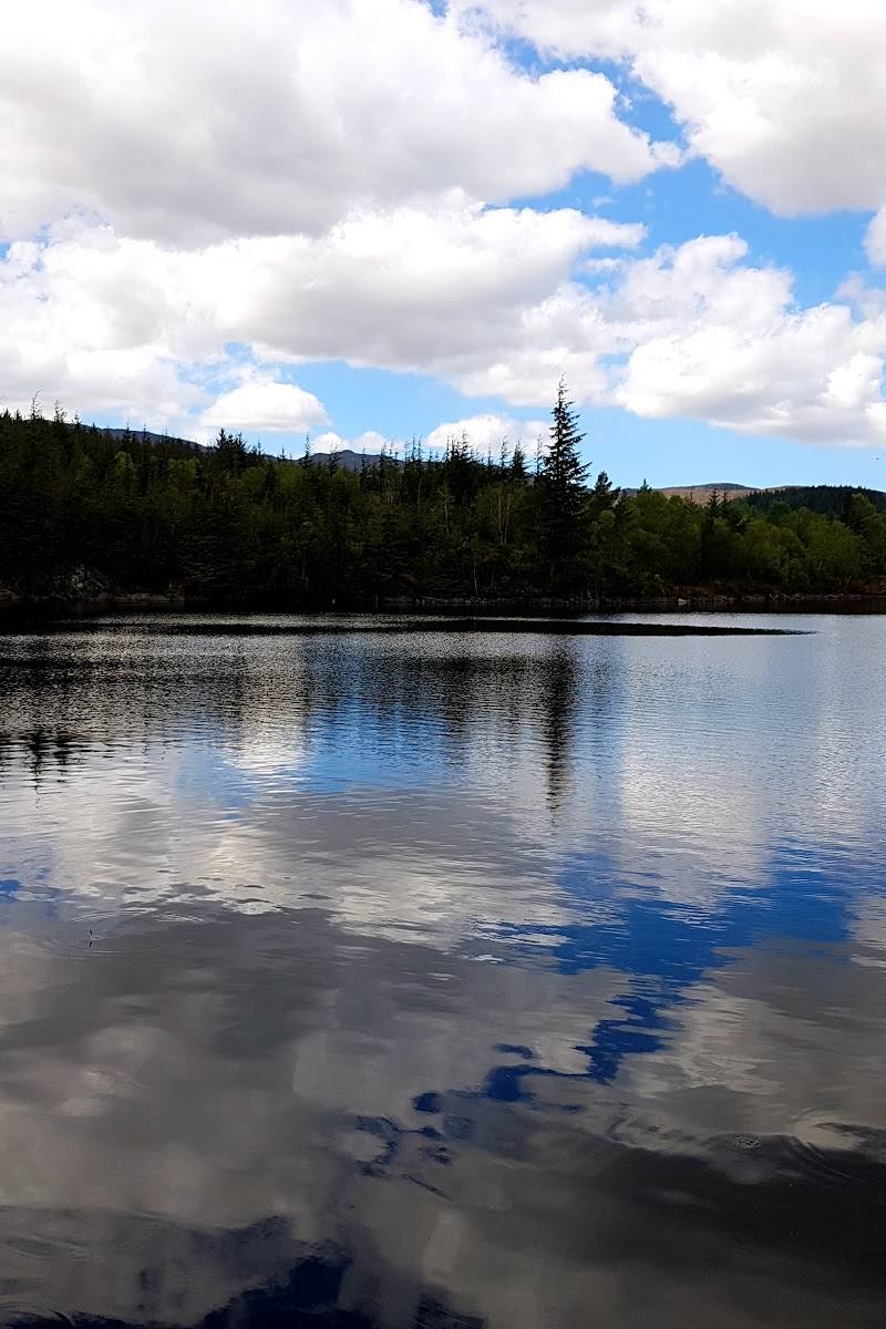
6.5Damming two lakes in 1914 created this shallow reservoir above Betws-y-Coed. The wooded climb from the village opens onto a high, quiet lakeside circuit with mountain views.
Llyn Elsi earns its place through the contrast between a steep woodland ascent and a tranquil reservoir setting above Betws-y-Coed. The loop pairs a clear walking objective with views towards the Eryri mountains; the climb and potentially muddy, slippery paths make it more rewarding for prepared walkers than a casual stroll.
Peaceful · Secluded · Big-sky
Find your way
Open mapAbove Betws-y-Coed, Conwy, Eryri (Snowdonia), Wales
Opening map…
Know this place a little better?
The experience
Walk up from Betws-y-Coed through woodland, then take the path around Llyn Elsi for lakeside scenery and mountain views. Allow roughly two to three hours for the sourced circular route; expect a steep ascent and check conditions, as paths can be muddy or slippery.
Things to do
Walk the Betws-y-Coed and Llyn Elsi circuit
Follow the described loop from behind St Mary's Church, climbing through woodland to the reservoir, circling the lake and returning to the village. The route is reported as steep, with muddy or slippery sections possible.
About 2–2.5 hours; one source describes approximately 4 miles
Pause for the mountain views from the reservoir
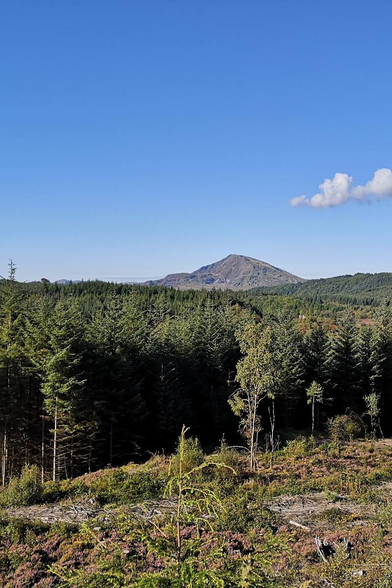
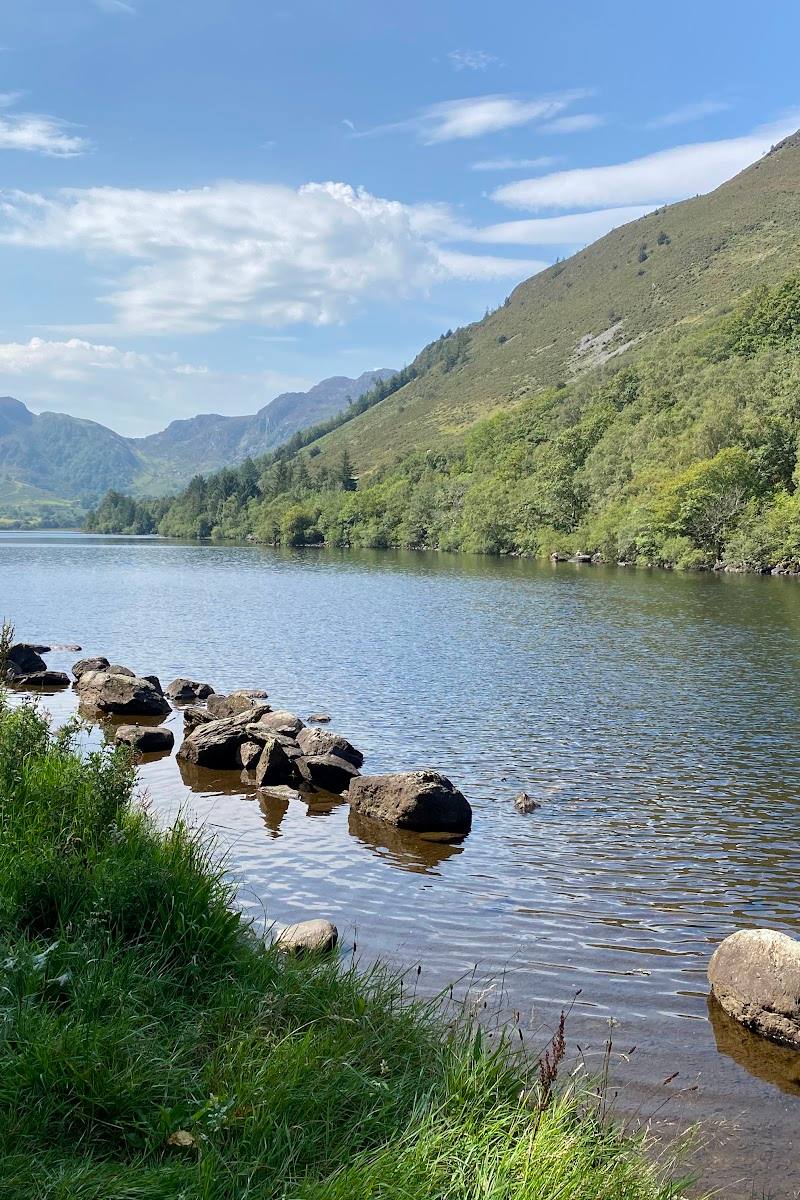
At the lake, look across the water towards the Eryri mountain range. The route description identifies the lake and surrounding mountains as a highlight.
Make a day of it
Quick escape · About 2–3 hours for the sourced village-to-lake circular route
Quick Escape: climb to the reservoir
- 01
Begin behind St Mary's Church in Betws-y-Coed, as described by the route source.
- 02
Climb through woodland, taking breaks on the ascent as needed.
- 03
Reach Llyn Elsi and follow the lakeside path for reservoir and mountain views.
- 04
Return to the village by the described route; check current conditions before starting.
Verified history
The source-row description says Llyn Elsi was formed by damming two lakes in 1914 and describes the resulting reservoir as shallow and stocked with trout. No further historical detail is established by the supplied sources.
Hidden details
The reservoir's origin — The supplied source-row description says the reservoir was formed by damming two lakes in 1914. This offers a useful detail to keep in mind while walking the shore.
When to go
· Check the weather and trail conditions; no specific time of day is established by the supplied sources.
The supplied sources do not identify a preferred season or reliable seasonal highlights.
The route source reports that paths can be muddy and slippery. Check the forecast and trail conditions before attempting the steep climb.
The route
- ascent
- 830 ft according to AllTrails
- stiles
- None reported by the route source
- surface
- Woodland tracks and narrower, rocky sections; can be muddy or slippery
- distance
- Approximately 4 miles, according to the route source
- duration
- 2–2.5 hours according to AllTrails; another supplied source reports approximately 2 hours 40 minutes
- difficulty
- Moderate; steep initial climb
- waymarking
- Check before visiting; the supplied sources do not establish route waymarking
- route shape
- Loop
- start point
- Behind St Mary's Church, Betws-y-Coed, as described by the route sources
- parking start
- Check before visiting; no parking information is established by the supplied sources
- Steep woodland ascent from Betws-y-Coed
- Llyn Elsi reservoir and its lakeside path
- Views towards the Eryri mountain range
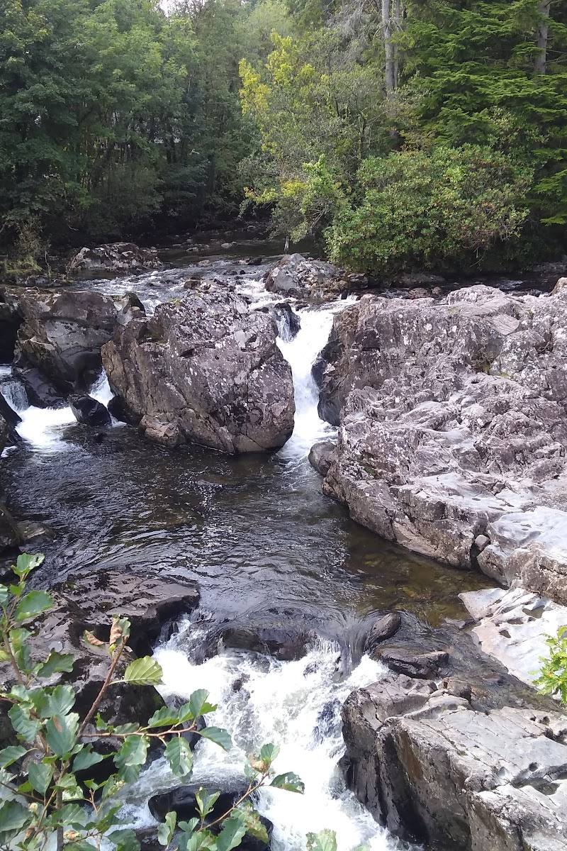
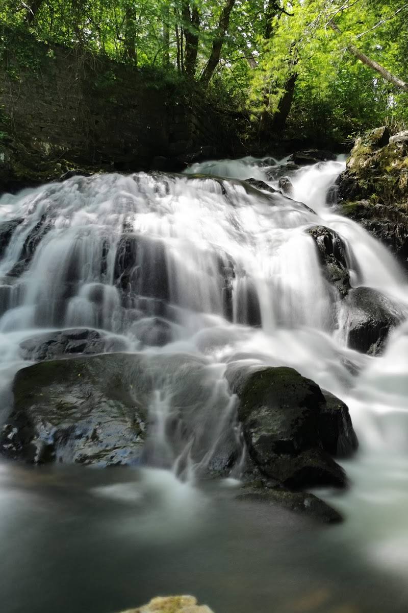
- A stream along the woodland approach, according to the route source
What to look for
Notice the change from woodland tracks to the reservoir shore, and look for views across Llyn Elsi towards the surrounding Eryri mountain ranges.
The story
Water supply; formed by damming two lakes in 1914.
Best time to go
Check conditions before visiting; the supplied sources do not establish a best season.
No specific best time of day or seasonal window is supported by the supplied sources. Check the forecast and trail conditions before setting out.
How long to spend
2–3 hours
Perfect for
Walkers · Photographers
Before you go
Address
Google rating
Practical information
Opening & access
A walk from Betws-y-Coed reaches the reservoir. The sourced route starts behind St Mary's Church and climbs steeply through woodland. Check current access and conditions before setting out.
Check before visiting
Parking
Check before visiting; no parking arrangements are established by the supplied sources.
Check before visiting
Toilets
Check before visiting
Check before visiting
Food & drink
Check before visiting
Check before visiting
Dogs
Check current local rules and signage before visiting; route-level dog information is not sufficient to establish the reservoir's rules.
Check before visiting
Accessibility
The described route involves a steep climb, with narrow, rocky and potentially muddy or slippery sections. No accessible route is established by the supplied sources.
Cost
Check before visiting
Check before visiting
Water
Reservoir
Gallery
Place photographs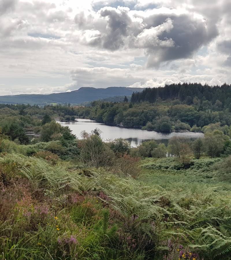
Keep exploring
Around Llyn Elsi
Within 50 km · approximate straight-line distances