Gwydir Forest, near Betws-y-Coed, Conwy, North Wales
Llyn Parc
Lake
Place photograph
6.4
Wildland
Half day
Time
Paid
Cost
Peaceful
Feel
Why it's Wildland
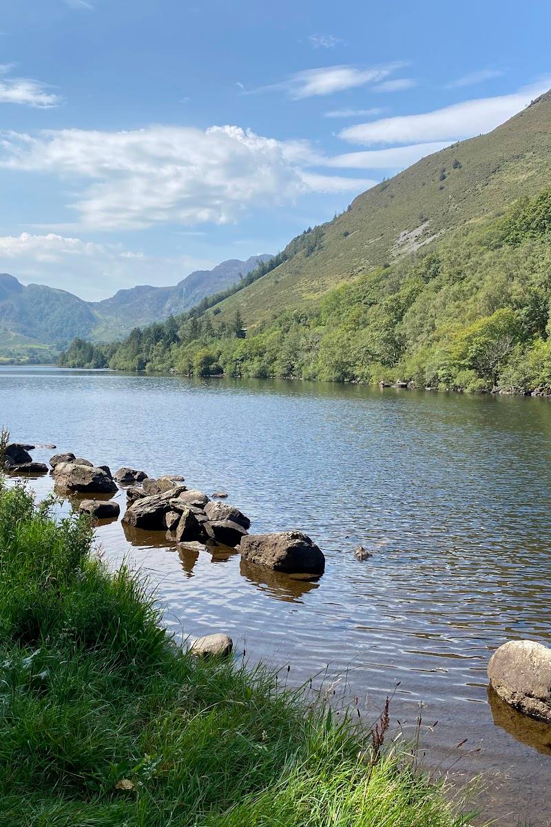
6.4A long, narrow lake tucked into Gwydir Forest, where a forest circuit follows the shore and passes traces of the area’s lead-mining past.
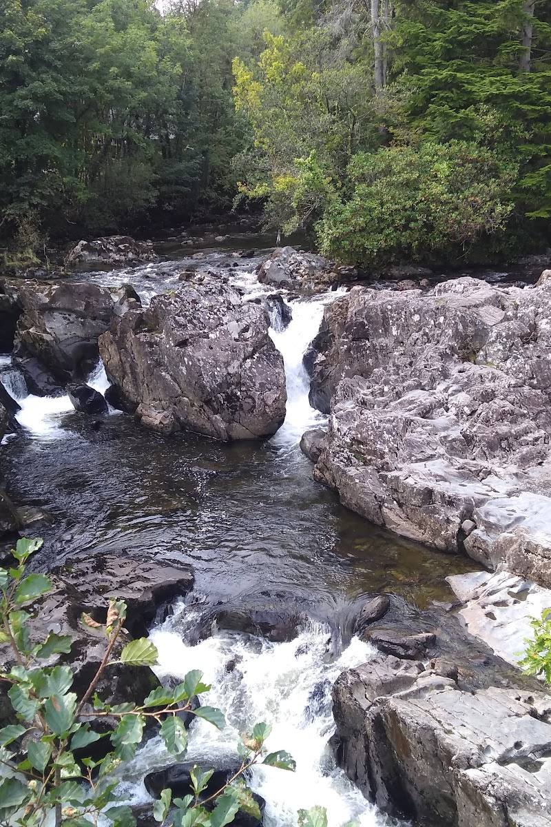
Llyn Parc pairs a quiet forest-framed shoreline with a substantial circular walk and a small waterfall along the return. The route’s mix of lake views, steep woodland paths and mining remains makes this more than a quick waterside stop.
Peaceful · Secluded · Wild
Find your way
Open mapGwydir Forest, near Betws-y-Coed, Conwy, North Wales
Opening map…
Know this place a little better?
The experience
A forest-and-lakeside circuit from Betws-y-Coed, with an uphill start, views along Llyn Parc and mining traces on the return. The published route is 6.6 miles and estimated at 3.5–4 hours.
Things to do
Walk the Llyn Parc circular
Follow the 6.6-mile loop through Gwydir Forest and along the long, narrow lake. The route is described as moderate, with forest roads, narrow paths and steep sections.
3.5–4 hours
Look for the waterfall and mining remains
On the return leg, the route passes a small woodland waterfall and the site of Aberllyn Lead Mine, reminders of the area’s lead-mining history.
Make a day of it
Quick escape · About 3.5–4 hours for the sourced circular route
Quick lake-and-forest escape
- 01
Start at Pont-y-Pair pay-and-display car park in Betws-y-Coed.
- 02
Follow the yellow waymarkers into Gwydir Forest; expect a steep climb at the start.
- 03
Reach Llyn Parc and take time to follow the route along the lake’s edge.
- 04
Continue around the circuit, looking out for the small waterfall and Aberllyn Lead Mine site on the return.
Half day · Half day
Make a half day of it
- 01
Walk the full Llyn Parc circular route from Betws-y-Coed.
- 02
Pause at the lakeside viewpoints and take in the forest setting.
- 03
On the return, look for the waterfall and the Aberllyn Lead Mine site.
- 04
Finish with refreshments in one of Betws-y-Coed’s cafés or pubs; check opening times first.
Verified history
Lead and zinc mining were prominent in the area. The circular route passes the site of Aberllyn Lead Mine near a stream on its return to Betws-y-Coed.
Hidden details
Aberllyn Lead Mine site — Look for the mine site near the stream on the return leg of the circuit; the route source identifies lead and zinc mining as part of the area’s past.
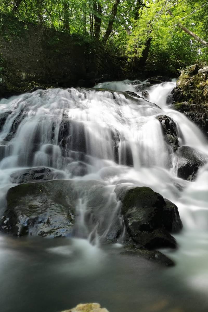
A small woodland waterfall — The route passes a small waterfall shortly after reaching the south end of the lake on the way back.
When to go
May · June · July · August · September · October · Start in the morning to leave time for the full circuit and any slow or muddy sections.
The source row recommends May to September for milder weather and green woodland, with autumn colour as an alternative. Conditions can be more unpredictable in autumn.
Conditions can be changeable. Expect steep and potentially muddy sections; check current weather and trail conditions and wear sturdy footwear.
The route
- ascent
- 1,279 ft
- surface
- Mainly forest roads, with narrow paths and steep sections
- distance
- 6.6 miles
- duration
- 3.5–4 hours
- difficulty
- Moderate
- waymarking
- Yellow waymarkers; some may be easy to miss
- route shape
- Loop
- start point
- Pont-y-Pair pay-and-display car park, Betws-y-Coed
- parking start
- Pont-y-Pair pay-and-display car park; check current arrangements before travelling.
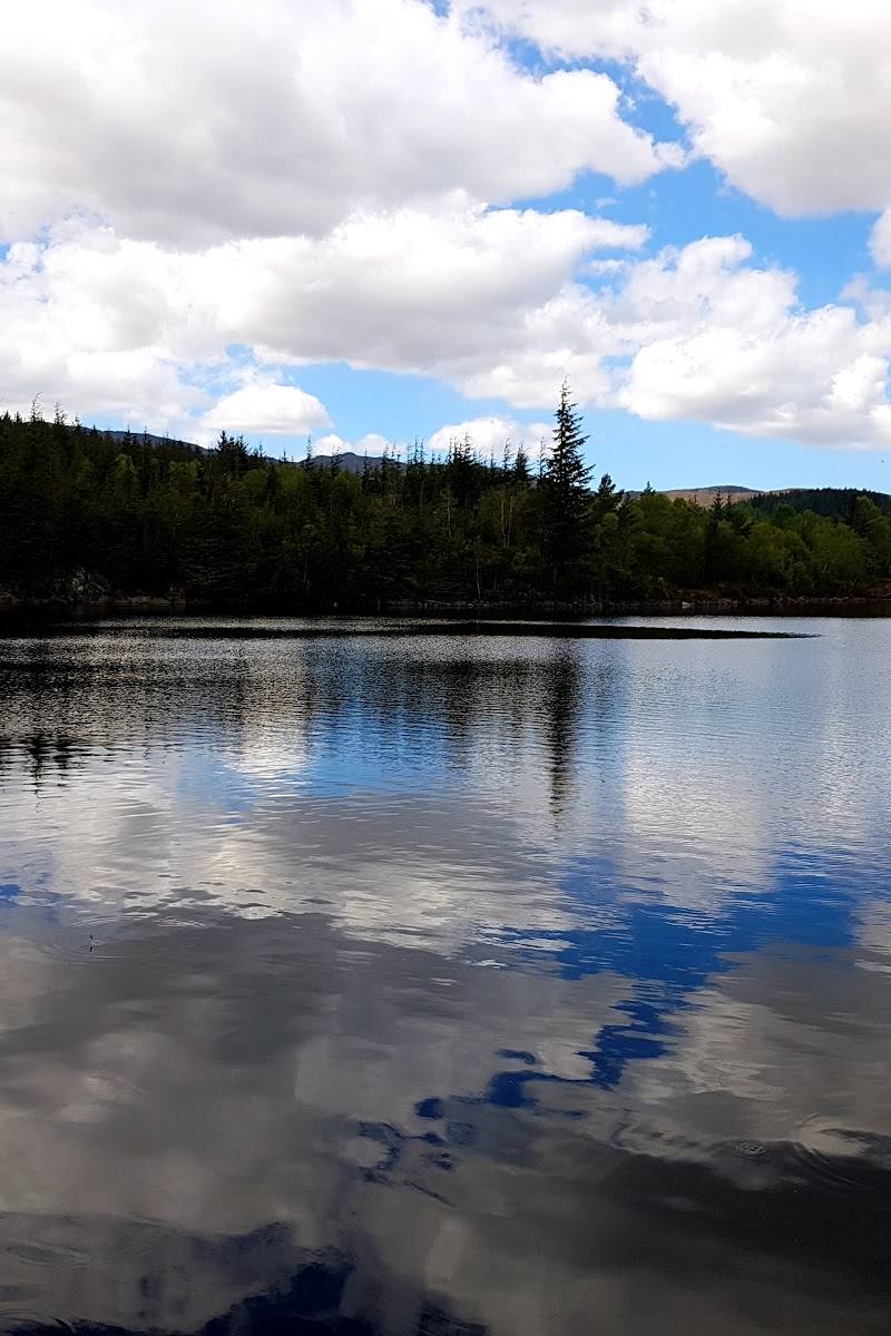
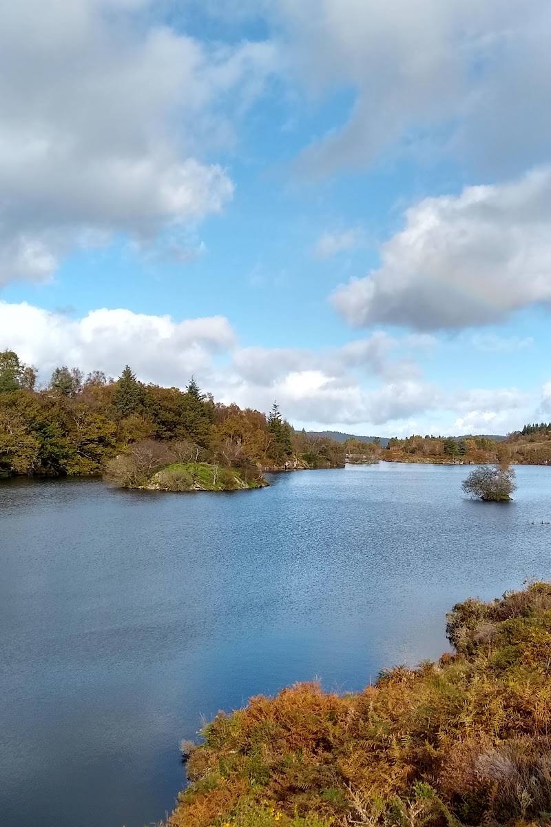
- Llyn Parc’s long, narrow shoreline
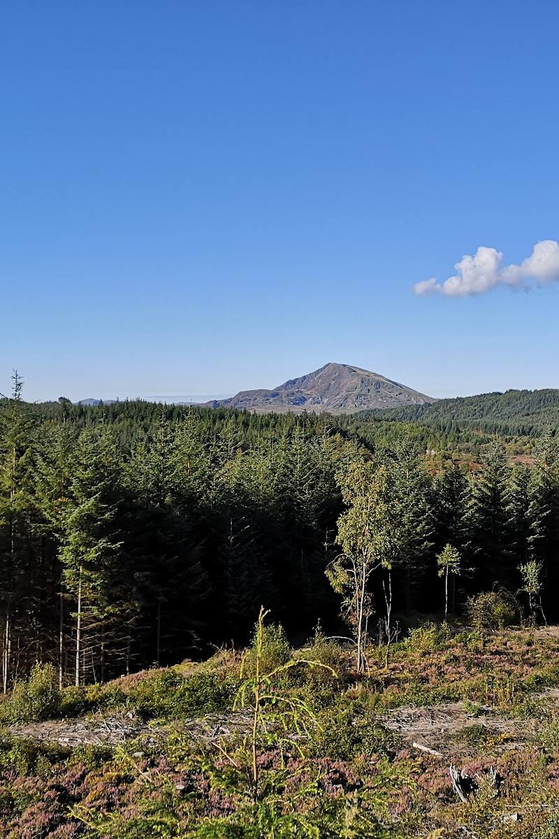
- Forest and valley viewpoints
- A small waterfall on the return
- The site of Aberllyn Lead Mine
Worth pairing with
Betws-y-Coed cafés and pubs
The route listing notes cafés and pubs in the village as options for refreshments after the walk. Check opening times before visiting.
What to look for
Look for the small waterfall on the return and the site of Aberllyn Lead Mine near the stream. Keep an eye out for yellow waymarkers, which the route source says can be easy to miss.
The story
Industry
Best time to go
Late spring to early autumn for milder walking conditions; autumn brings woodland colour, though weather can be less predictable.
Late spring through early autumn offers milder walking conditions. Choose a clear day for the forest and lake views, and allow extra time for steep or muddy sections.
How long to spend
Half day
Perfect for
Walkers · Dogs · Photographers
Practical information
Opening & access
A circular walking route reaches the lake from Betws-y-Coed. The route includes steep sections and narrow paths; check current trail conditions before setting out.
Check before visiting
Parking
The route listing identifies Pont-y-Pair pay-and-display car park in Betws-y-Coed as the start. Check current parking arrangements before travelling.
Check before visiting
Toilets
Check before visiting.
Check before visiting
Food & drink
The route listing notes cafés and pubs in Betws-y-Coed; check opening times before visiting.
Check before visiting
Dogs
Described as dog-friendly by the route source. Keep dogs under control and check local guidance.
Check before visiting
Accessibility
Not wheelchair accessible according to the source row. The described route includes steep sections, narrow paths and forest roads; sturdy footwear is advisable.
Cost
Paid
Water
Lake
Gallery
Place photographsKeep exploring
Around Llyn Parc
Within 50 km · approximate straight-line distances