6.8
Wildland
1–2 hours to a full day, depending on route
Time
Paid
Cost
Big-sky
Feel
Why it's Wildland
6.8A vast Cambridgeshire reservoir with a nine-mile shoreline circuit, eight bird hides and a walk that can be much more demanding than its gentle waterside views suggest.
Grafham Water earns its place through scale and variety: a long, hard-surfaced circuit, bird hides around the shoreline and changing views across a major reservoir. The full loop is a serious outing, but the route can be split into shorter sections.
Big-sky · Peaceful · Wild
Find your way
Open mapNear Huntingdon, Cambridgeshire
Opening map…
Know this place a little better?
The experience
Choose a short visit for a taste of the shoreline, or make a substantial outing of the circular route. The full loop is reported as roughly nine miles on a hard-surfaced track, with bird hides and views over the water; allow for a long walk and check current conditions before setting out.
Things to do
Walk a section of the shoreline
The reported nine-mile circuit can be split into shorter sections. Choose a distance that suits your time and check the route conditions before starting.
Visit the bird hides
Eight bird hides are reported around the shoreline. Look out for birds from the hides and check seasonal sightings locally.
Cycle the multi-use route
The supplied source describes a multi-use path around the reservoir. Confirm current route access and conditions before riding.
Make a day of it
Quick escape · 1–2 hours
A short shoreline visit
- 01
Check current access and parking information before travelling.
- 02
Choose a manageable section of the shoreline rather than committing to the full circuit.
- 03
Look out for water views and wildlife; the supplied source reports bird hides around the shore.
Half day · Around 3–5 hours; allow longer if stopping or walking at a slower pace
The Grafham Water circuit
- 01
Check route conditions, access and parking before setting out.
- 02
Walk the circular shoreline route, reported as approximately nine miles on a hard-surfaced track.
- 03
Pause at the bird hides and take in the changing views across the reservoir.
Verified history
The supplied sources describe Grafham Water as a reservoir and report a 607-hectare area, including an 80-hectare nature reserve. The source excerpt does not provide a construction date or fuller history.
Hidden details
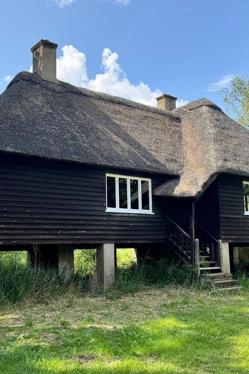
Eight bird hides around the shoreline — The supplied nature-walk source reports eight bird hides spaced around the reservoir. Their precise locations and current access should be checked before visiting.
When to go
· Warm summer evenings for the reported swift activity; check locally for seasonal wildlife.
The supplied source describes summer swifts flying low over the water on warm evenings and winter bird interest. It says the reservoir rewards visits throughout the year.
Check the forecast and current path conditions before setting out. The full shoreline circuit is long; the supplied source describes it as capable of leaving walkers exhausted.
The route
- ascent
- 282 ft according to AllTrails.
- surface
- Hard-surfaced track according to the supplied nature-walk source.
- distance
- Approximately 9 miles (14.5 km) according to the supplied nature-walk source; AllTrails lists 8.8 miles.
- duration
- AllTrails estimates 3–3.5 hours; the supplied nature-walk source describes a much longer personal experience. Allow extra time.
- difficulty
- Moderate according to AllTrails; the full circuit is long and may be tiring.
- route shape
- Circular loop
- start point
- The supplied sources mention Mander and Marlow car parks and a walk starting from Grafham village; confirm the best current start point before setting out.
- parking start
- Mander and Marlow car parks are mentioned in the supplied source. Parking charges, opening times and availability should be checked.
- shorter alternative
- The supplied nature-walk source says the circular route can be split into shorter sections; it does not specify a particular shorter route.
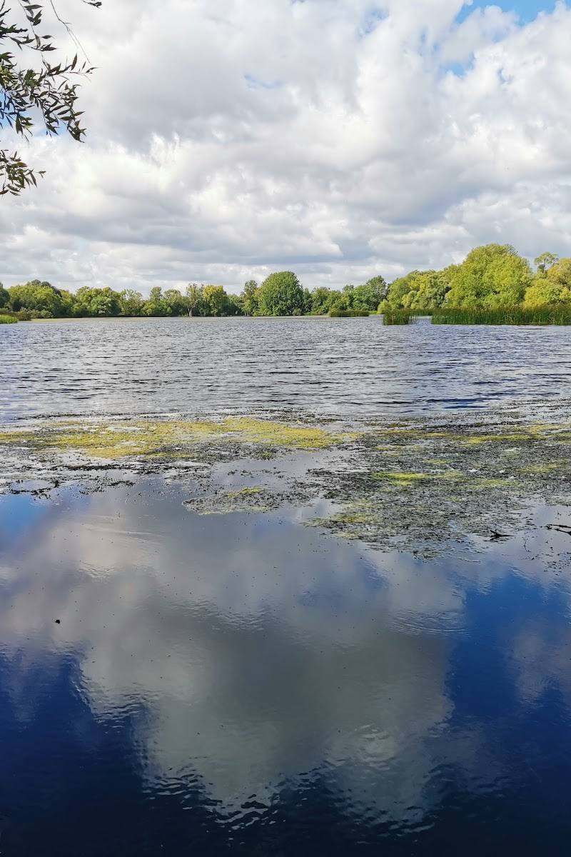
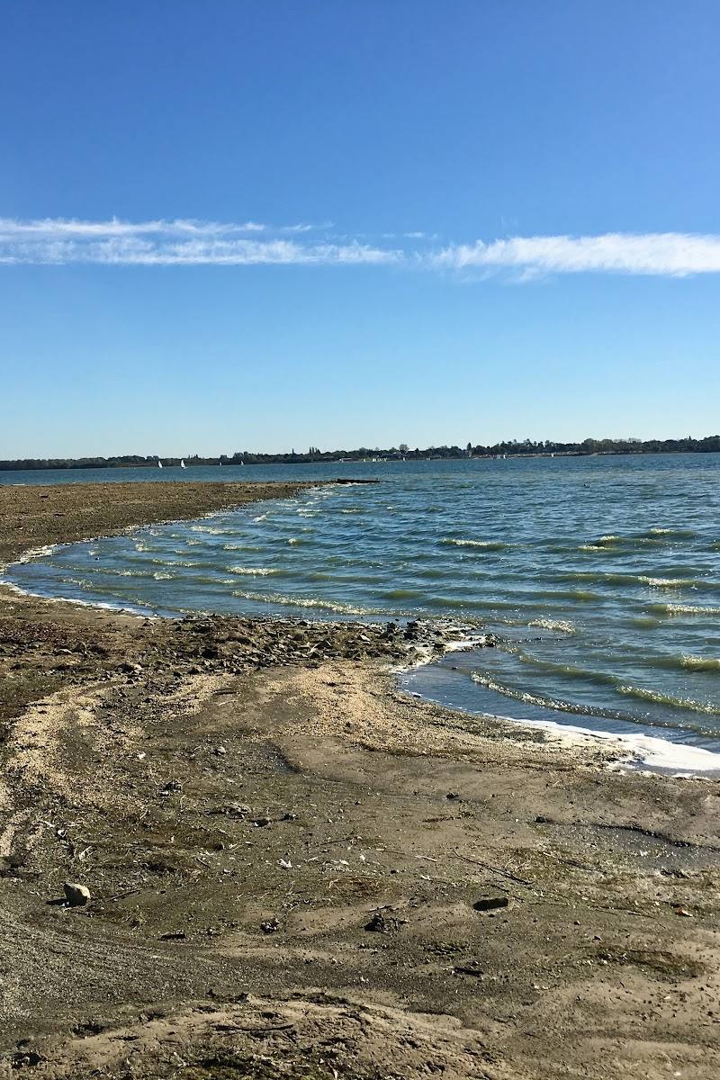
- Views across Grafham Water
- Eight bird hides reported around the shoreline
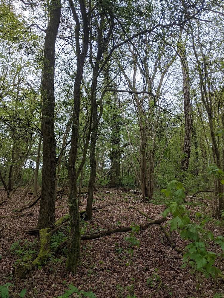
- Sections through fields and woodland reported on the circular route
What to look for
Look for the bird hides spaced around the shoreline, views across the reservoir and wildlife along the water’s edge. The supplied source highlights wintering birds and summer swifts.
Best time to go
Year-round; the supplied source describes summer swift activity and winter bird interest.
The supplied source notes swifts over the water on warm summer evenings and winter bird interest. Check locally for current wildlife activity.
How long to spend
1–2 hours to a full day, depending on route
Perfect for
Walkers · Wildlife lovers · Cyclists · Families · Photographers
Before you go
Google rating
Practical information
Opening & access
A reservoir with a circular shoreline route and visitor facilities noted in the supplied sources. Check current access, parking arrangements and opening information before travelling.
Check before visiting
Parking
Mander and Marlow car parks are identified in the supplied source; charges, opening times and current availability should be checked before visiting.
Check before visiting
Toilets
Check before visiting
Check before visiting
Food & drink
A café is reported at Mander car park; check current availability before visiting.
Check before visiting
Dogs
Check before visiting
Check before visiting
Accessibility
A hard-surfaced circular track is reported, but the full circuit is around nine miles. Check current route conditions and accessibility before setting out.
Check before visiting
Cost
Paid
Water
Reservoir
Gallery
Place photographs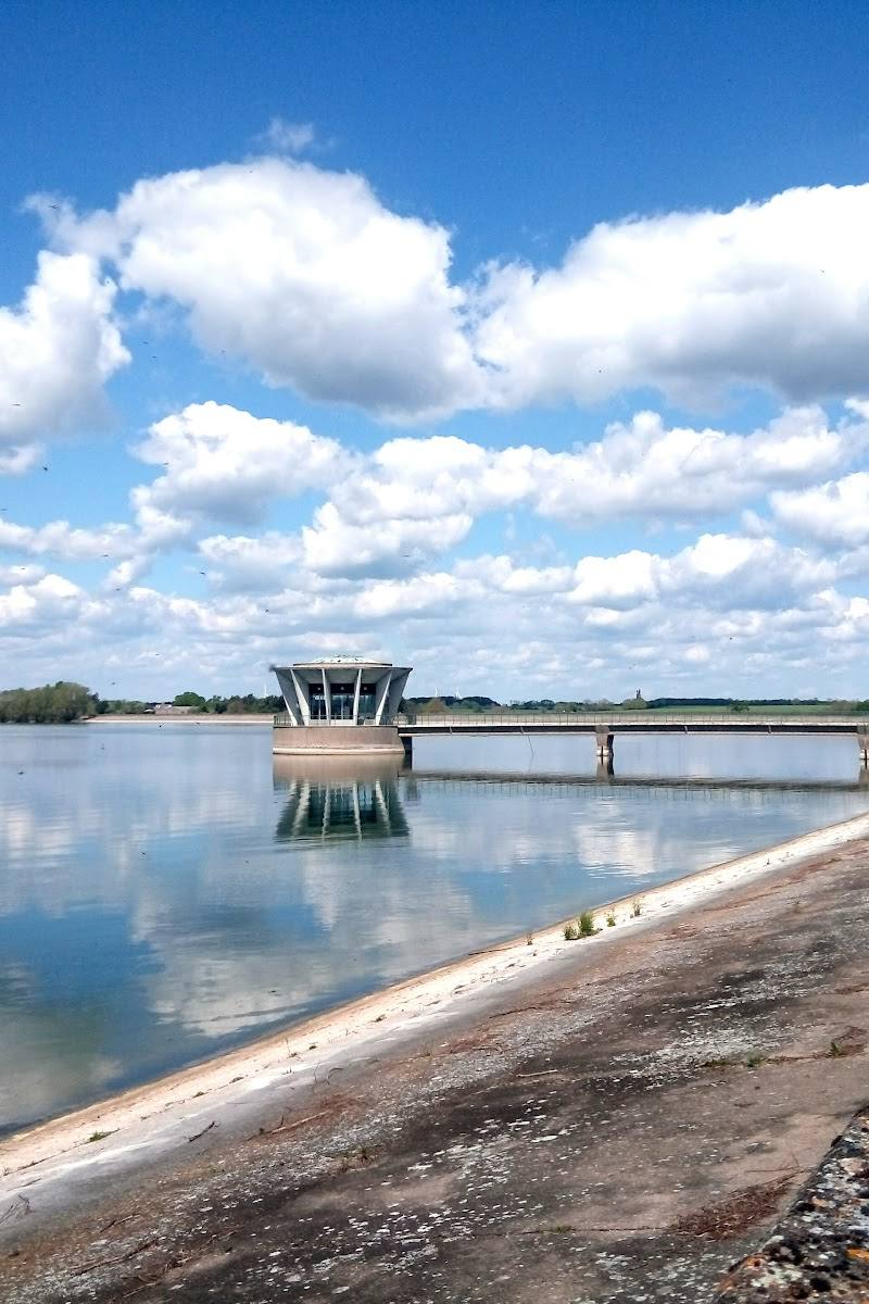
Keep exploring
Around Grafham Water
Within 50 km · approximate straight-line distances