Near Crymych, Preseli Hills, Pembrokeshire, Wales
Foel Drygarn Hill Fort
Prehistoric
Place photograph
6.8
Wildland
1–2 hours
Time
Check
Cost
Atmospheric
Feel
Why it's Wildland
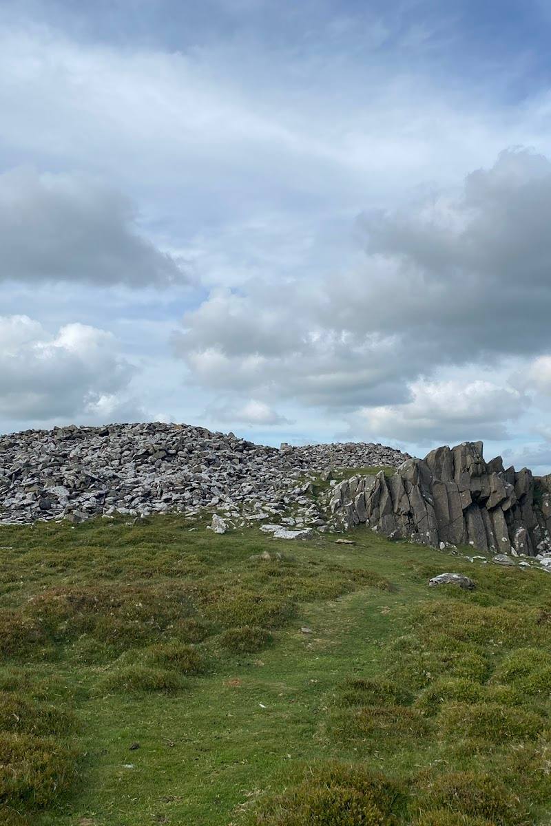
6.8A prehistoric hilltop settlement crowns the Preseli skyline: three Bronze Age cairns stand within an Iron Age fort whose pockmarked interior preserves the outlines of hundreds of house platforms.
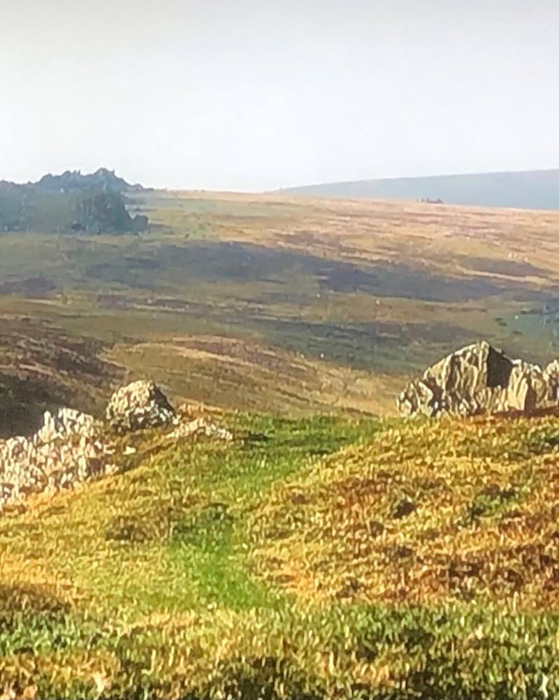
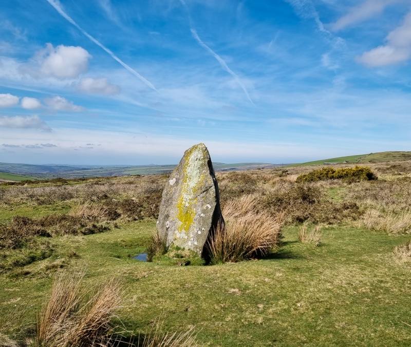
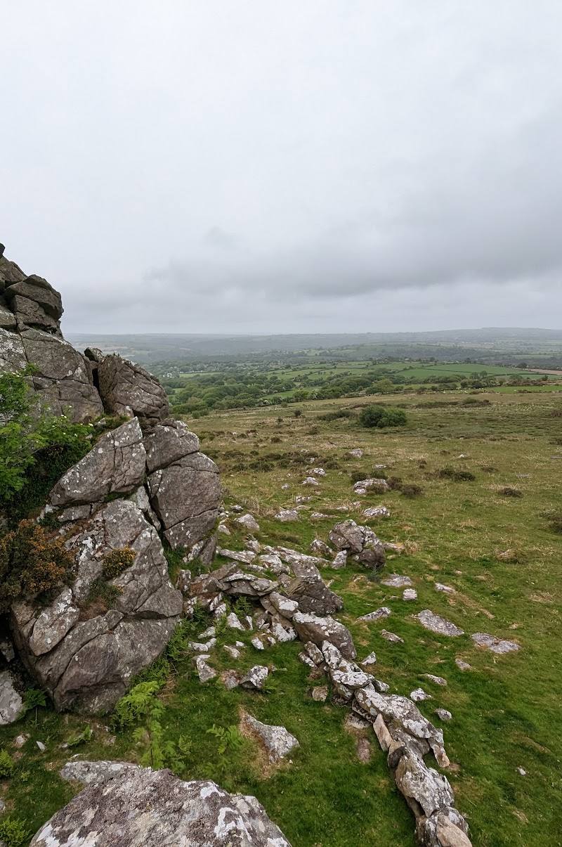
Foel Drygarn brings a remarkable concentration of archaeology into an exposed Preseli hilltop setting. Three ancient cairns, layered ramparts and traces of a sprawling settlement make the climb feel like an exploration of a place inhabited and reshaped over many centuries.
Atmospheric · Ancient-feeling · Wild · Big-sky
Find your way
Open mapNear Crymych, Preseli Hills, Pembrokeshire, Wales
Opening map…
Know this place a little better?
The experience
Walk up to the hillfort, trace its stone ramparts and look for the many levelled house platforms inside. At the summit, examine the three cairns and take in the broad Preseli views on a clear day.
Things to do
Explore the three summit cairns
Visit the three large cairns on the summit, interpreted as Bronze Age burial monuments and the feature that gives the hill its name.
15–30 minutes
Trace the hillfort enclosures
Look for the lines of the stone walls or stone-revetted banks that define three enclosures, including traces of a ditch around the inner rampart.
20–40 minutes
Find the house-platform hollows
The fort’s interior is pockmarked by the remains of at least 227 levelled house platforms, with traces of further possible platforms. Look carefully across the ground to make out their shallow forms.
15–30 minutes
Take in the Preseli hilltop views
The fort occupies a prominent ridge and its silhouette dominates much of the east Pembrokeshire skyline. The walk source reports panoramic views on clear days.
10–20 minutes
Make a day of it
Quick escape · About 1–2 hours
Quick Escape: climb to the cairns
- 01
Start from the described roadside lay-by and follow the walking approach towards the hill.
- 02
Climb to the summit and explore the three cairns and visible ramparts.
- 03
Pause for the Preseli hillside views, then return by your approach route.
Half day · Half day
Make a half day of it: read the hillfort
- 01
Allow time for the uphill walk and a slower exploration of the summit.
- 02
Trace the surviving enclosures, ramparts and ditch rather than stopping at the cairns.
- 03
Look across the interior for the levelled house platforms and consider how the settlement may have grown in phases.
- 04
Take a longer pause on the summit before returning.
Verified history
Foel Drygarn is an Iron Age hillfort on the easternmost ridge of Mynydd Preseli. Its three enclosures appear to represent phases of expansion, and the interior contains at least 227 levelled house platforms, with traces of further uncertain examples. The site was likely occupied and expanded over many centuries rather than used by a single leader or group. Three large summit cairns are interpreted as Bronze Age burial monuments. Excavations in 1899 found Iron Age and Roman pottery and objects including spindle-whorls, glass beads and a jet ring.
Hidden details
The fort was a settlement, not just a defensive ring — At least 227 levelled house platforms are visible as hollows in the interior, with traces of further possible platforms. They point to a substantial settlement rather than an empty hilltop enclosure.
Older monuments remained inside the later fort — The three summit cairns are interpreted as Bronze Age burial monuments. Their survival within the later hillfort is a striking clue to the changing significance of this hilltop.
When to go
April · May · June · July · August · September · Choose a clear, settled part of the day for hilltop views; the sources do not establish a particular best hour.
The open hilltop is most rewarding when visibility is good and the approach is less likely to be wet or boggy. No seasonal wildlife or flowering spectacle is documented in the supplied sources.
The approach is exposed on a steep, open hill. A walking source reports that the ground can be wet or boggy after rain. Check conditions and wear suitable footwear.
The route
- ascent
- 160 metres for the 3-mile route.
- surface
- Open hillside; can be wet or boggy after rain. Detailed surface information is not confirmed.
- distance
- About 1.5 miles according to one walking source; another describes a 3-mile (4.7 km) route.
- duration
- About 35 minutes of walking for the shorter route; around 2 hours for the longer route.
- difficulty
- The walk includes a steep hill climb; a separate route source rates its 3-mile route moderate.
- waymarking
- One route description mentions a footpath marker at the start; continuous waymarking is not confirmed.
- route shape
- Not confirmed in the supplied route descriptions.
- start point
- A walking source describes a lay-by near Blaen Llethr Farm; another gives a start outside Crymych. Check the route description and current access before setting out.
- parking start
- A walking source describes roadside lay-bys with space for several cars and notes there is no formal car park. Check parking availability and restrictions.
- shorter alternative
- A walking source describes a roughly 1.5-mile walk with about 35 minutes of walking; confirm its current start and access details before relying on it.
- Three Bronze Age cairns on the summit
- Iron Age hillfort ramparts and enclosures
- At least 227 levelled house platforms
- Preseli hilltop views on clear days
What to look for
Look for the three summit cairns, the lines of the fort’s stone walls and ramparts, traces of a ditch around the inner rampart, and the shallow hollows of the former house platforms.
The story
Archaeology
Best time to go
Clear, settled days in spring through autumn
Choose a clear, calm day for the strongest views and a more comfortable hilltop visit. After rain, expect the open hillside to be wet or boggy.
How long to spend
1–2 hours
Perfect for
Walkers · History lovers · Photographers
Before you go
Practical information
Opening & access
A walking approach to the hilltop is described by route sources, but access rights and current path conditions are not confirmed. Check before visiting. The climb is steep and the site has no wheelchair-accessible entrance. Access arrangements are unconfirmed. Check before visiting; do not enter private land or restricted structures.
Check before visiting
Parking
A walking source describes roadside lay-by parking near the route start; this is not a formal car park. Check parking and access before travelling.
Check before visiting
Toilets
Check before visiting
Check before visiting
Food & drink
Check before visiting
Check before visiting
Dogs
Check before visiting; keep dogs under control around livestock.
Check before visiting
Accessibility
Not wheelchair accessible according to the source row. The hilltop approach is a steep walk over open hillside; route surfaces and accessibility details are not fully confirmed.
Cost
Check before visiting
Check before visiting
Gallery
Place photographsKeep exploring
Around Foel Drygarn Hill Fort
Within 50 km · approximate straight-line distances
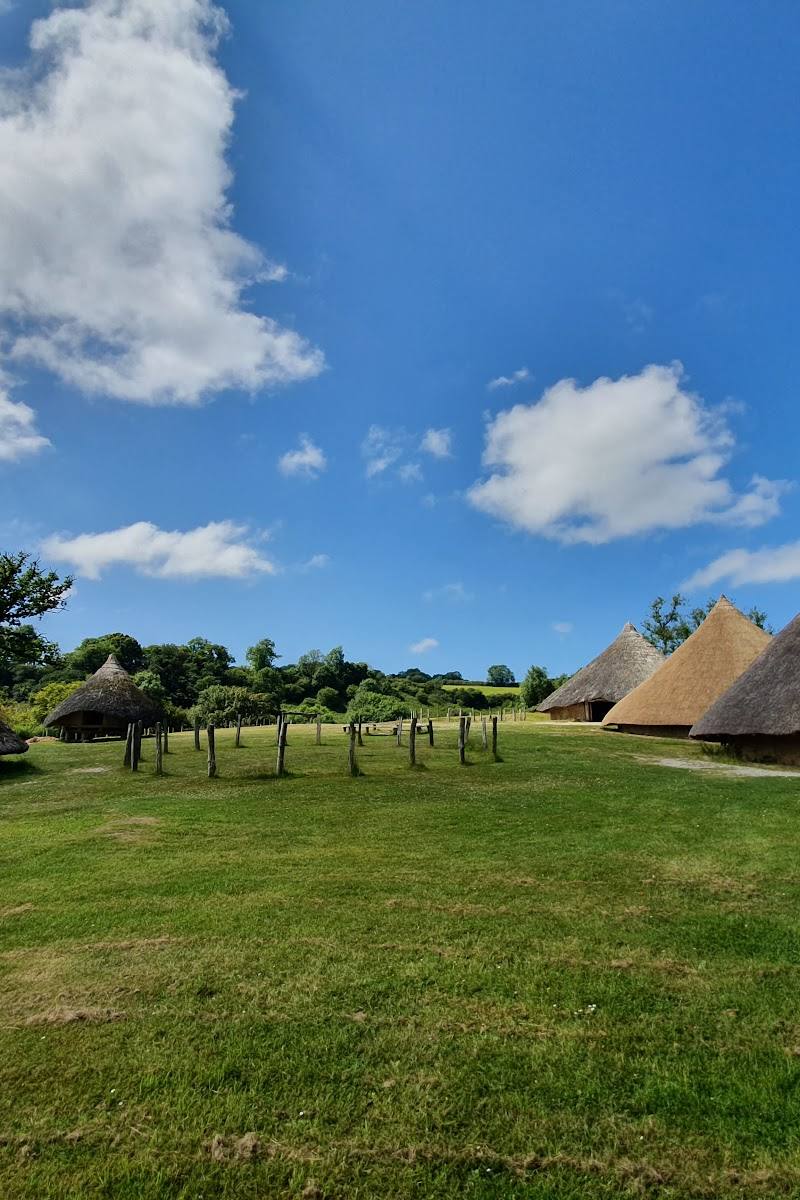 Place photograph7.1
Castell Henllys Iron Age Village
Meline, near Crymych, Pembrokeshire, SA41 3UR
6.7 km away
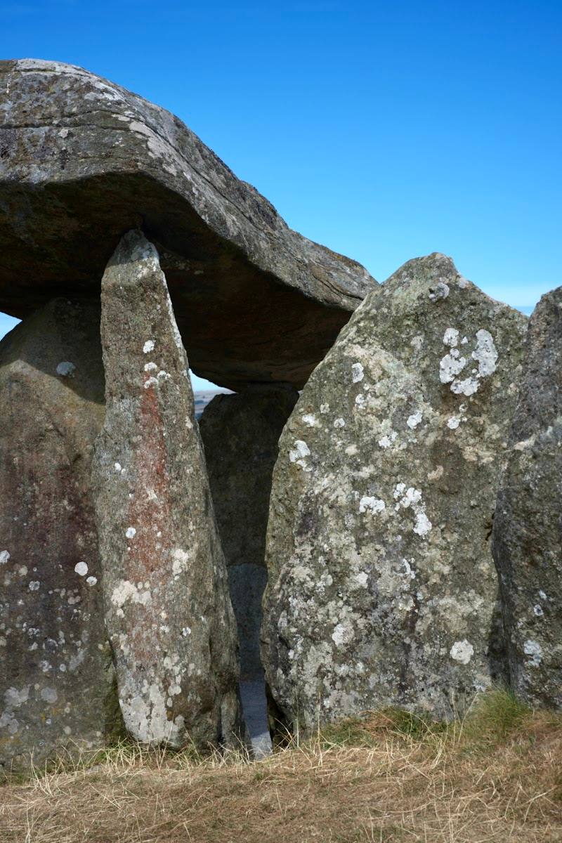 Place photograph7.8
Pentre Ifan Burial Chamber
Nevern, near Crymych, Pembrokeshire SA41 3TZ
6.7 km away