Flash Lane, Enfield, Greater London, EN2 9JH
Flash Lane Aqueduct
Industrial heritage
Place photograph
5.2
Wildland
1–2 hours
Time
Check
Cost
Atmospheric
Feel
Why it's Wildland
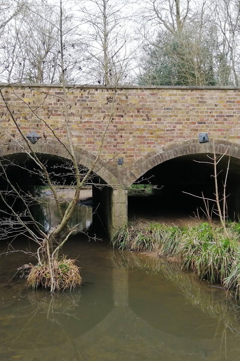
5.2A cast-iron water channel crosses a brick bridge above Cuffley Brook, tucked into woodland on the route of the New River. It is a small but striking trace of the engineering that helped bring water to London.
This is an unusual piece of water-supply engineering in a woodland setting: a cast-iron trough carried across a two-arch brick bridge above Cuffley Brook. Its secluded-feeling location and surviving construction details make it more than a roadside heritage stop, though access and the condition of the approach should be checked before visiting.
Atmospheric · Quirky
Find your way
Open mapFlash Lane, Enfield, Greater London, EN2 9JH
Opening map…
Know this place a little better?
The experience
A short heritage-led visit: follow a confirmed public route to view the aqueduct from the path, read the information board if accessible, and look closely at the surviving ironwork and brick arches. Do not enter private land or climb onto the structure.
Things to do
Inspect the surviving aqueduct
From a legitimate path, look at the cast-iron trough carried across a two-arch brick bridge above Cuffley Brook. Do not climb onto the ironwork.
15–30 minutes
Look closely at the engineering
Historic England records four E-shaped cast-iron sections, sealed with lead and bolted together, resting on a central pier. Some details may be difficult to see from the path.
10–20 minutes
Make a day of it
Quick escape · Around 1–2 hours; the reported walk from Flash Lane is about ten minutes each way, but the route and access should be checked.
Quick Escape: find the aqueduct
- 01
Confirm current access and identify a legitimate route before setting out; the map pin is not an entrance or parking pin.
- 02
Follow the path from Flash Lane towards the aqueduct, staying on the route and respecting private-property boundaries.
- 03
View the bridge and trough from the path; do not climb onto the ironwork.
- 04
Return by the same route.
Half day · Half day; route length and total walking time are not verified.
Make a half day of it: aqueduct and woodland
- 01
Check access and route conditions before leaving.
- 02
Visit the aqueduct from the path and examine the brick arches and cast-iron trough.
- 03
If the connecting public path is open and clearly waymarked, continue along the described route beside Cuffley Brook and into Whitewebbs Woods.
- 04
Return by a confirmed public route; do not cross into private woodland.
Verified history
Flash Lane Aqueduct is a scheduled monument and part of the New River watercourse, the artificial supply built to bring water to London. Historic England identifies the surviving structure as a 19th-century multi-span bridge and cast-iron aqueduct that carried the New River over Cuffley Brook. Its trough was assembled from four E-shaped cast-iron sections, sealed with lead and bolted together; the bridge has two brick arches with stone dressings. The aqueduct formed part of 19th-century improvements to the New River. Historic England lists the monument on 26 April 1972.
Hidden details
Four sections make up the trough — The cast-iron trough is recorded as four E-shaped sections bolted together and sealed with lead. The detail may not all be visible from the visitor path.
A bridge over Cuffley Brook — The aqueduct stands at the foot of a river valley on the southern edge of Whitewebbs Wood; its two brick arches span the brook.
When to go
October · November · Daylight, when the path and structure are easier to assess. No specific time-of-day advantage is verified.
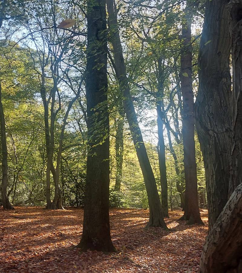
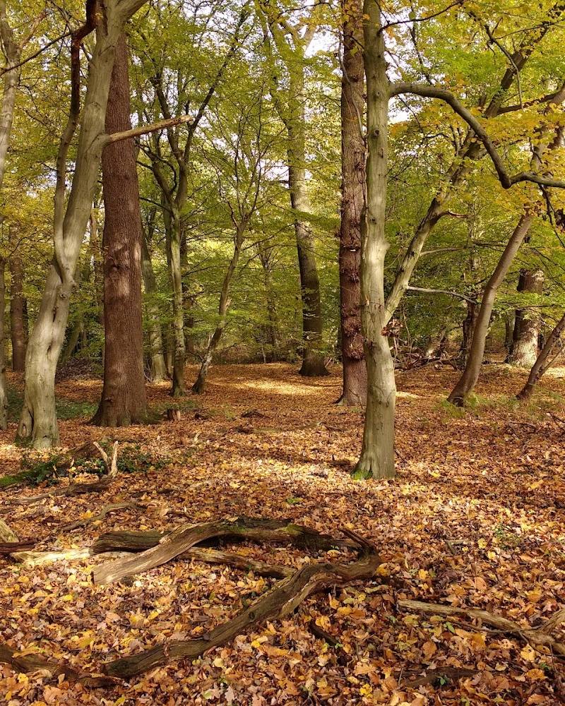
A visitor account particularly recommends an autumn woodland stroll. This is a seasonal suggestion, not confirmation of access or opening.
The approach has been described as muddy. Conditions may vary; check the route before setting out and wear footwear suitable for uneven or wet paths.
The route
- surface
- A visitor account describes a muddy bridleway and woodland path; current conditions are unverified.
- start point
- Flash Lane is described as the approach, but the supplied map pin is a main-place pin, not an entrance.
- parking start
- Parking and a parking start point are not verified. Check before visiting.
- The cast-iron trough and two-arch brick bridge
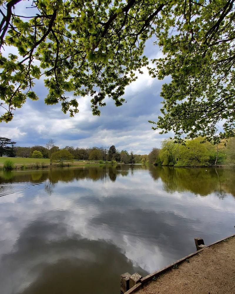
- Cuffley Brook beneath the aqueduct
- The adjacent woodland setting
Worth pairing with
Whitewebbs Woods
The aqueduct lies beside Whitewebbs Wood, and a visitor account describes continuing into the woods by path. Use only routes confirmed as publicly accessible.
What to look for
Look for the cast-iron trough, its bolted sections and deep side plates, the two-arch brick bridge with stone dressings, and the relationship between the structure and Cuffley Brook. Historic England describes the trough as four E-shaped sections sealed with lead.
The story
Industry
Best time to go
Autumn for the woodland walk; the aqueduct itself can be appreciated in any season when access is available.
Autumn is a good choice for combining the aqueduct with a woodland stroll. The available source describes crunchy autumn woodland, but does not establish seasonal opening or access.
How long to spend
1–2 hours
Perfect for
History lovers · Walkers · Photographers
Before you go
Address
Google rating
Practical information
Opening & access
The aqueduct is reached by a path from Flash Lane, but current public access and route conditions are not confirmed. Keep to the signed path, respect private-property boundaries and do not climb onto the aqueduct structure. Check access before setting out. Access arrangements are unconfirmed. Check before visiting; do not enter private land or restricted structures.
Check before visiting
Parking
Parking is not confirmed. The supplied map pin marks the main place, not an entrance or parking area. Check before visiting.
Check before visiting
Toilets
Check before visiting.
Check before visiting
Food & drink
Check before visiting.
Check before visiting
Dogs
Check before visiting.
Check before visiting
Accessibility
The approach is described as a muddy bridleway and woodland path; accessibility, surfaces and current route condition are not verified. Check before visiting.
Check before visiting
Cost
Check before visiting
Check before visiting
Water
River
Gallery
Place photographsKeep exploring
Around Flash Lane Aqueduct
Within 50 km · approximate straight-line distances