Cockfosters to Enfield Lock, north London
London LOOP Section 17: Cockfosters to Enfield Lock
route · Long-distance trail
Place photograph
5.9
Wildland
Half day
Time
Check
Cost
Varied
Feel
Why it's Wildland
5.9A 14 km cross-section of north London that links parkland and woodland with brooks, farmland paths and more built-up stretches.
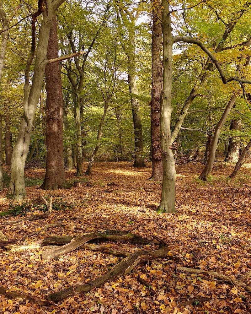
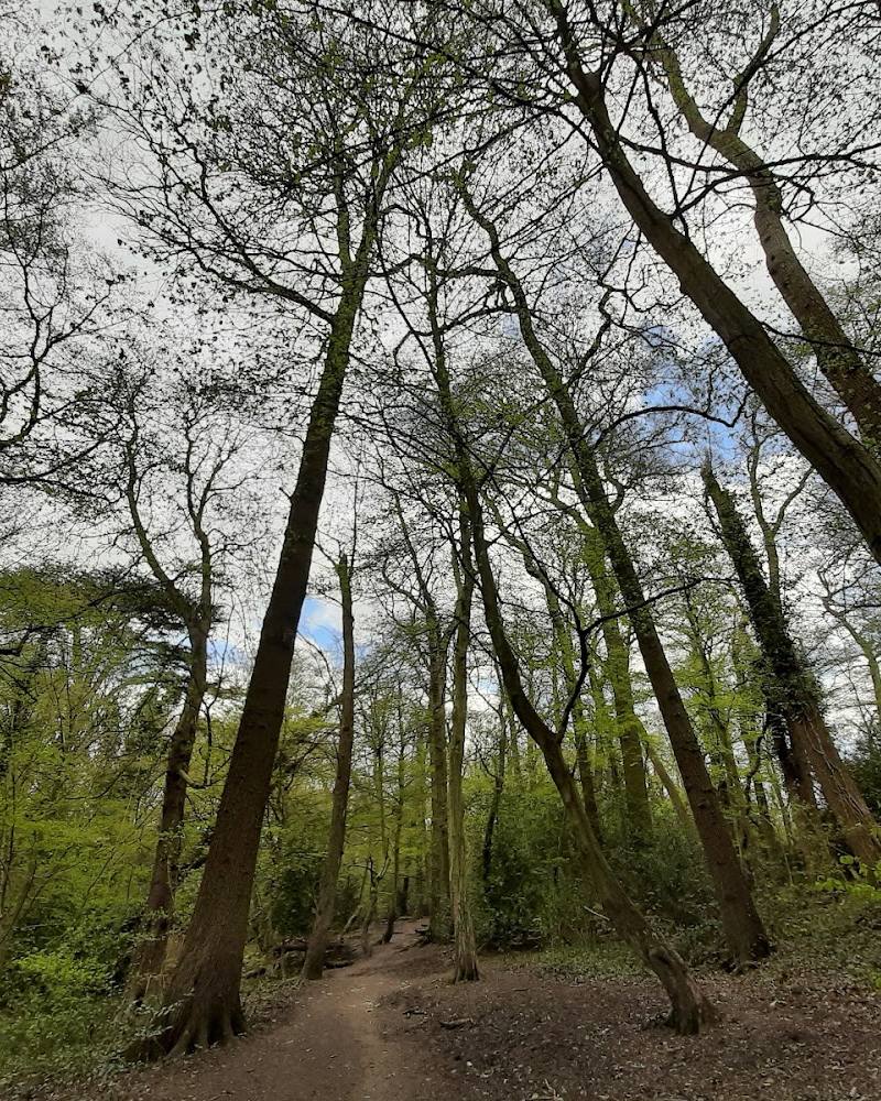
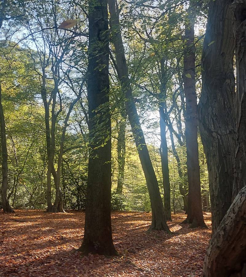
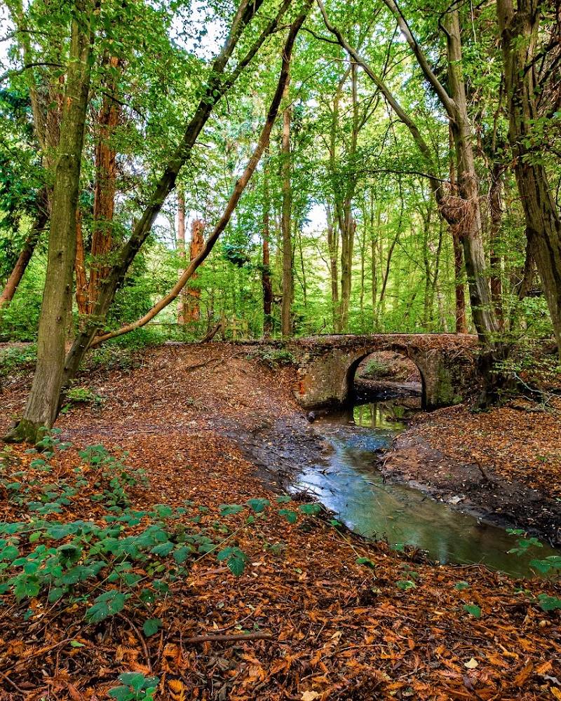
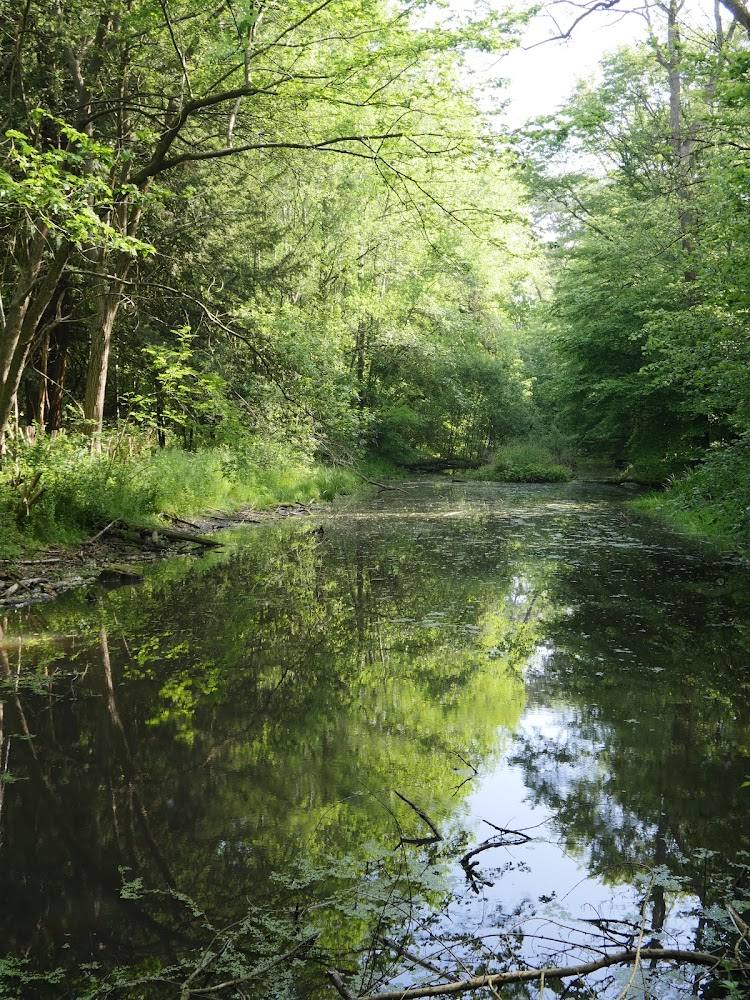
This section offers a varied walk without leaving Greater London: the route runs through Trent Park and Hilly Fields, follows the Turkey Brook and passes through a mix of woodland, open land and urban edges. Its appeal is variety rather than remoteness.
Varied · Big-sky
Find your way
Open mapCockfosters to Enfield Lock, north London
Opening map…
Know this place a little better?
The experience
A moderate, point-to-point walk of about 14 km, estimated at 3–3.5 hours by AllTrails. It passes through Trent Park and Hilly Fields and follows the Turkey Brook for part of the way. Allow extra time for stops and check route details before starting.
Things to do
Walk the Cockfosters–Enfield Lock section
Follow this point-to-point London LOOP section through a mix of parkland, woodland, farmland paths and urban stretches.
3–3.5 hours walking
Explore the route through Trent Park
Trent Park is identified as part of the route. The supplied source does not give a separate detour or visit duration.
Follow the brook-side stretches
The section description names the Turkey Brook among the route’s features. Check the current route map for the precise alignment.
Take care on rough or muddy tracks
AllTrails notes rougher park and woodland tracks and warns that paths can become muddy in wet conditions; appropriate footwear is advised.
Make a day of it
Quick escape · About 1–2 hours; distance and endpoints not verified
A shorter taste of the LOOP
- 01
Choose a clearly mapped portion of the section rather than attempting the full point-to-point route.
- 02
Walk a section through one of the named parks or along a brook, then return by a separately checked route or public transport.
- 03
Check current path conditions and transport arrangements before leaving.
Half day · About 3–3.5 hours walking; allow extra time for stops
Walk the full section
- 01
Start at Cockfosters and follow the section towards Enfield Lock, checking the current route directions before setting out.
- 02
Pass through Trent Park and Hilly Fields and take in the route’s woodland, open-ground and brook-side stretches.
- 03
Allow for rougher tracks and muddy conditions after rain, and take care on busier road sections.
- 04
Arrange your return from Enfield Lock in advance; the supplied sources do not verify transport or parking details.
When to go
· No specific time of day is established by the supplied sources.
The supplied sources describe the route and wet-weather conditions but do not support a preferred season.
Rougher park and woodland tracks may be muddy in wet conditions. Wear suitable footwear and take care on busier road sections.
The route
- ascent
- 93 m elevation gain
- surface
- Mixed; includes rougher park and woodland tracks. Exact surface composition not supplied.
- distance
- 14 km
- duration
- 3–3.5 hours
- difficulty
- Moderate
- waymarking
- Check current route directions; waymarking details are not established by the supplied sources.
- route shape
- Point to point
- start point
- Cockfosters
- parking start
- Parking and start-point arrangements are not verified; check before travelling.
- Trent Park
- Hilly Fields
- Turkey Brook
- A mix of woodland, open ground and more built-up stretches
What to look for
- 01
Notice the shift in scenery between parkland, woodland and open fields
- 02
follow the route’s brook-side stretches, and take care where it crosses or approaches busier roads.
Best time to go
No specific season is established by the supplied sources. Wet conditions can make rougher park and woodland tracks muddy.
Choose a day when you are comfortable walking on potentially muddy tracks. The supplied sources do not establish a best season or time of day.
How long to spend
Half day
Perfect for
Walkers · Wildlife lovers · Photographers
Route at a glance
Duration
Half day
Terrain
Woodland, Parkland
Parking / start
Parking availability and suitable start/end parking are not established by the supplied sources; check before travelling.
Before you go
Address
Google rating
Practical information
Opening & access
A point-to-point section of the London LOOP described as a walking trail. Check current route information and local conditions before setting out.
Check before visiting
Parking
Parking availability and suitable start/end parking are not established by the supplied sources; check before travelling.
Check before visiting
Toilets
Check before visiting
Check before visiting
Food & drink
The route description mentions places for refreshments, but does not identify or verify specific venues; check before setting out.
Check before visiting
Dogs
Check before visiting
Check before visiting
Accessibility
The full section is described as a 14 km point-to-point walk with rougher tracks and muddy sections in wet weather. Step-free access and suitability for wheelchairs or pushchairs are not established.
Cost
Check before visiting
Check before visiting
Water
Stream
Gallery
Place photographsKeep exploring
Around London LOOP Section 17: Cockfosters to Enfield Lock
Within 50 km · approximate straight-line distances