5.8
Wildland
Half day
Time
Check
Cost
Wild
Feel
Why it's Wildland
5.8A quieter-feeling ridge walk in the central Brecon Beacons, with three summits and broad views across the surrounding hills.
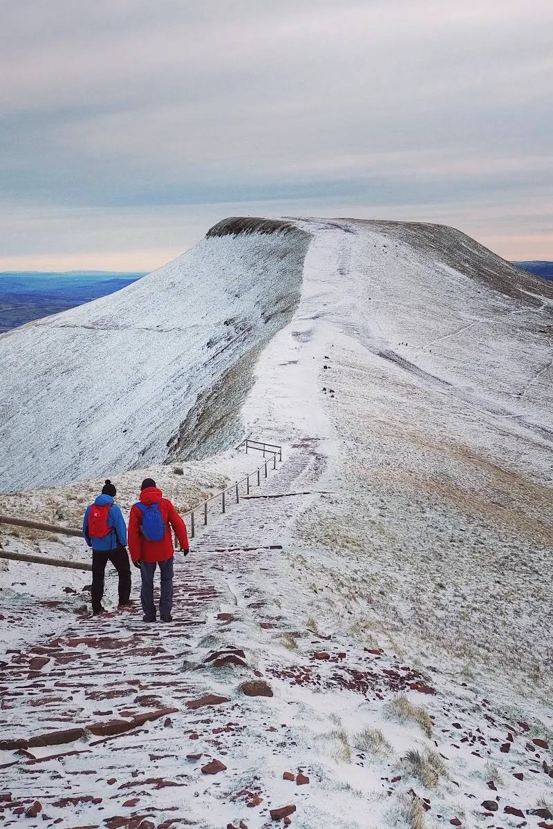
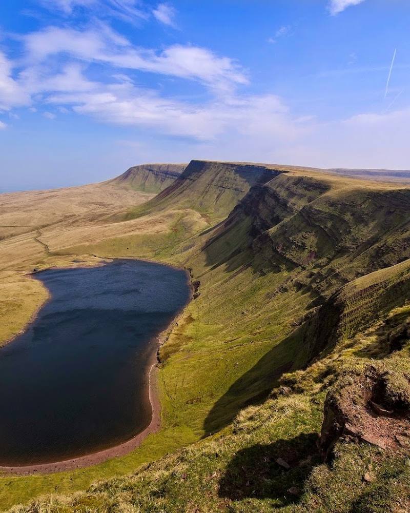
Fan Frynych earns its place for a proper ridge outing with a sequence of summits and expansive upland views. A documented circular route makes it a rewarding alternative for walkers looking beyond the best-known peaks.
Wild · Big-sky · Peaceful
Find your way
Open mapBrecon, Powys, Wales
Opening map…
Know this place a little better?
The experience
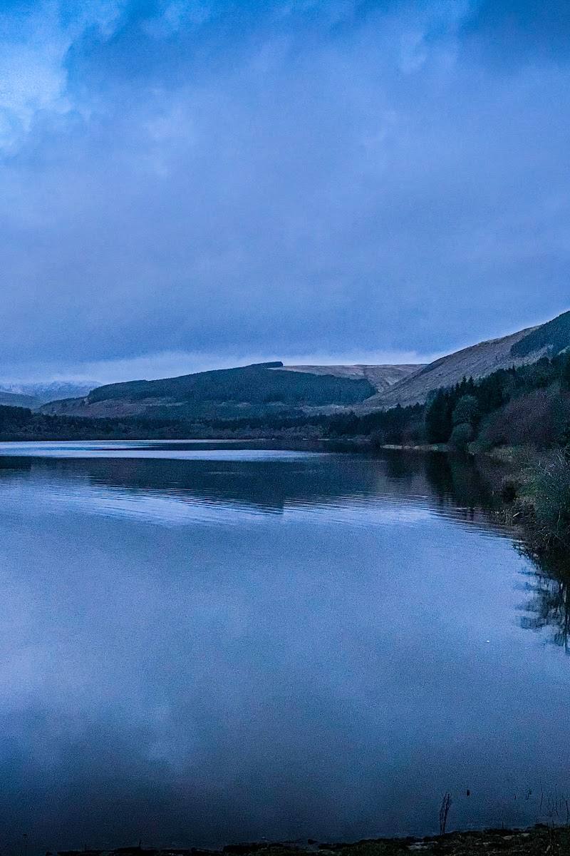
Fan Frynych is a hill-walking destination in the central Brecon Beacons. A published route covers Fan Frynych and Craig Cerrig Gleision, while another account describes a circular traverse of the ridge’s three summits.
Things to do
Walk the Fan Frynych and Craig Cerrig Gleision route
Follow the published 5.76 km route from the A470 layby. Its listed ascent is 315 m and the suggested walking time is 2–3 hours.
2–3 hours
Visit the three ridge summits
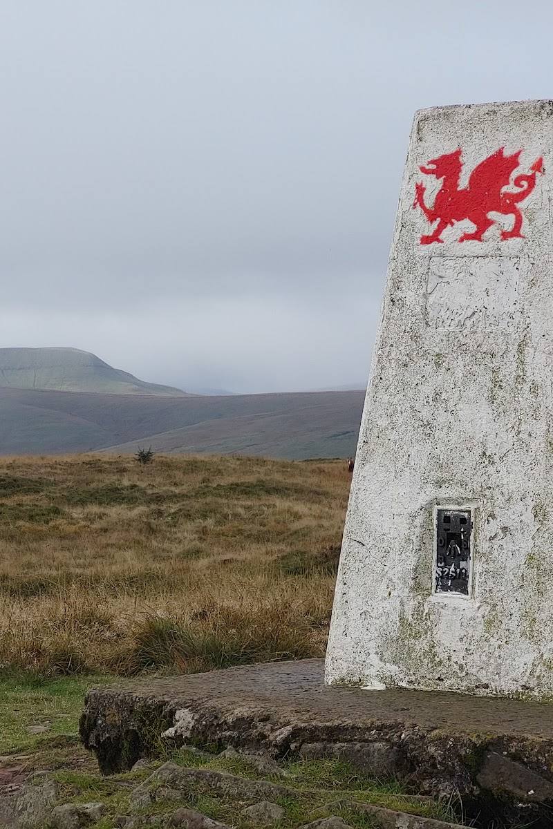
A recorded circular walk traverses Twyn Dylluan-ddu, the Fan Frynych trig point and Twyn Rhefr.
Take in the surrounding hill views
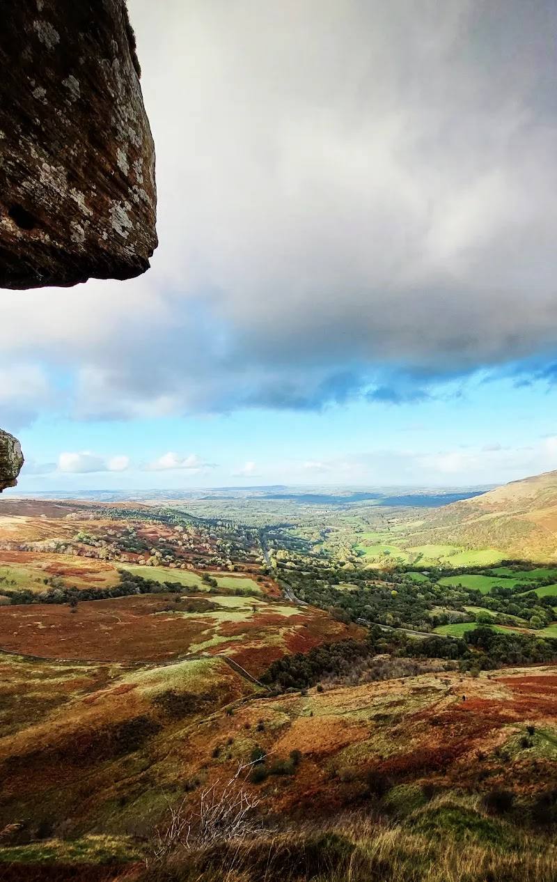
The walk account describes views towards neighbouring peaks and across the valley. Visibility will depend on weather and conditions.
Make a day of it
Quick escape · 2–3 hours
A shorter outing on Fan Frynych
- 01
Start from the A470 layby identified by the route source, after checking current parking and access.
- 02
Follow the published walk towards Fan Frynych and Craig Cerrig Gleision.
- 03
Allow 2–3 hours for the 5.76 km route, and turn back if weather or navigation conditions deteriorate.
Half day · Half day
Traverse the Fan Frynych ridge
- 01
Take the circular route across the ridge described in the walk account.
- 02
Visit the three summits named in that account: Twyn Dylluan-ddu, the Fan Frynych trig point and Twyn Rhefr.
- 03
Allow extra time for the climb, views and breaks; check conditions and navigation before setting off.
When to go
· No time of day is established by the supplied sources. Prioritise a suitable mountain forecast and good visibility.
The supplied sources describe walks but do not establish a seasonal advantage.
This is an upland route. The route source specifically warns that navigation skills are needed, especially in poor visibility. Check the mountain forecast and carry appropriate navigation equipment.
The route
- ascent
- 315 m
- distance
- 5.76 km for the Fan Frynych and Craig Cerrig Gleision route; the three-summit circular route has no distance given in the supplied source.
- duration
- 2–3 hours for the 5.76 km route
- difficulty
- Moderate
- route shape
- Circular route described; route source covers Fan Frynych and Craig Cerrig Gleision.
- start point
- Layby on the A470, as given by the route source.
- parking start
- The route source identifies an A470 layby as the start. Check current parking arrangements before travelling.
- Fan Frynych
- Craig Cerrig Gleision
- Views across the surrounding hills and valley
- A separate account describes a circular traverse of three ridge summits.
What to look for
Look for the changing views as the route climbs from the valley side onto the ridge, and identify the three summits described in the circular-walk account.
Best time to go
Check mountain weather and visibility before going; the available sources do not establish a best season.
Choose a clear, settled day for the views, and check the mountain forecast before departure. The sources do not establish a particular best time of year or day.
How long to spend
Half day
Perfect for
Walkers · Photographers · Solo
Before you go
Address
Google rating
Practical information
Opening & access
A mountain walk is described from a layby on the A470. Check current access, parking arrangements and conditions before setting out; this is exposed upland terrain and navigation is important, particularly in poor visibility. Access arrangements are unconfirmed. Check before visiting; do not enter private land or restricted structures.
Check before visiting
Parking
A route source gives the start as a layby on the A470. Confirm current parking arrangements before travelling.
Toilets
Check before visiting.
Check before visiting
Food & drink
Check before visiting.
Check before visiting
Dogs
Check current access guidance and local requirements before visiting.
Check before visiting
Accessibility
The described routes are upland walks involving ascent; they are not presented as accessible paths. Conditions and navigation demands can change, so check mountain weather and assess your experience before setting out.
Check before visiting
Cost
Check before visiting
Check before visiting
Gallery
Place photographs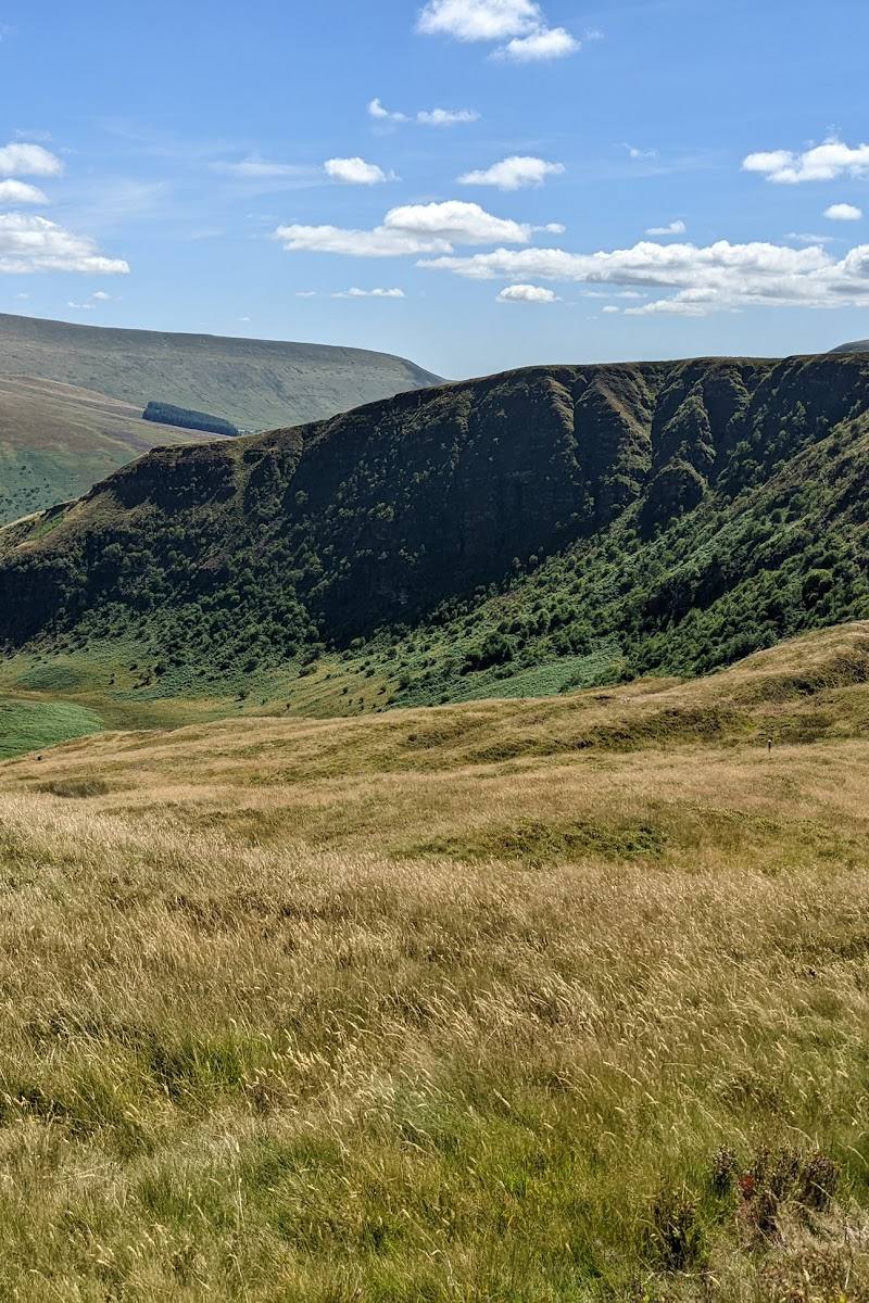
Keep exploring
Around Fan Frynych
Within 50 km · approximate straight-line distances