South Wales, United Kingdom
Bannau Brycheiniog National Park (Brecon Beacons)
Rolling hills
Source image
7.3
Wildland
Full day
Time
Check
Cost
Wild
Feel
Why it's Wildland
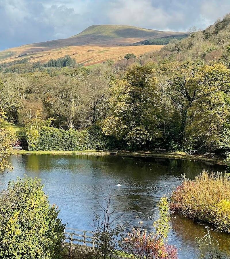
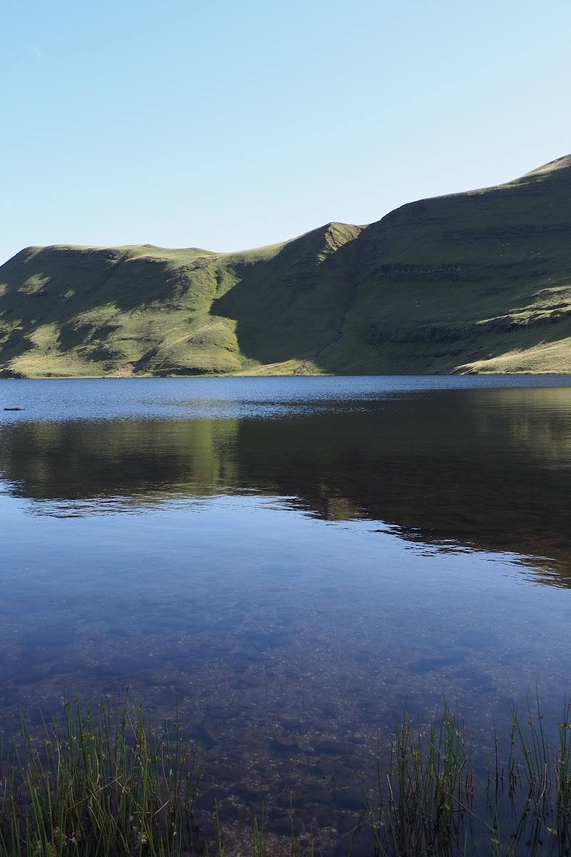
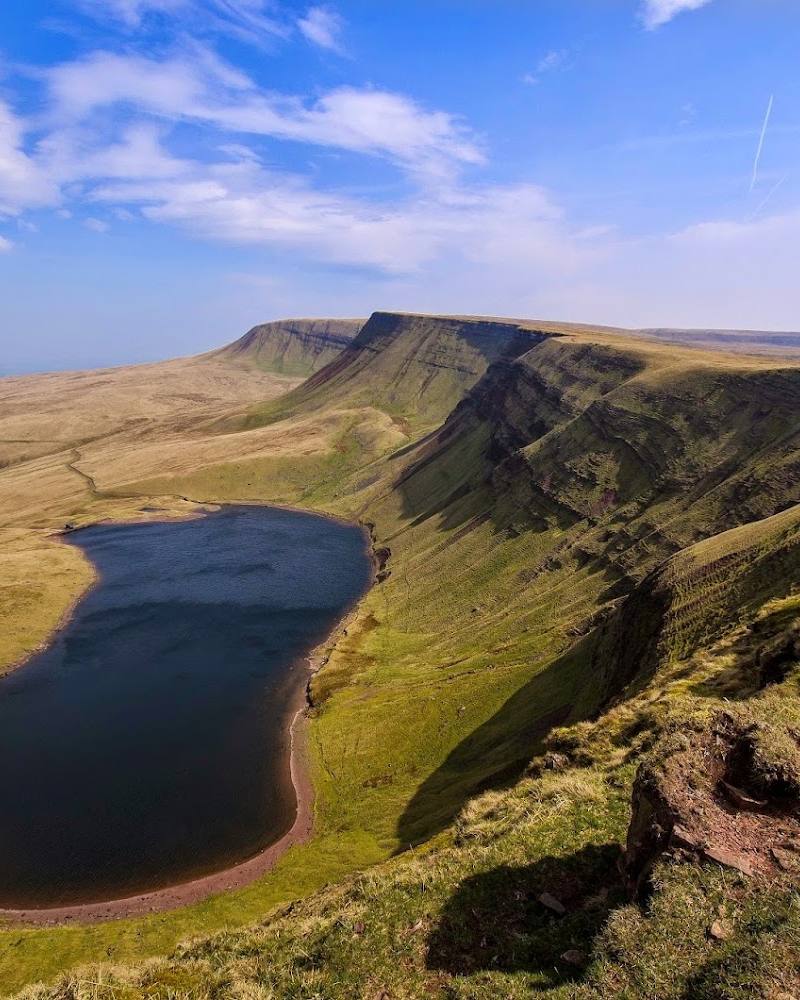
7.3This is a landscape of mountain ranges, open moor, wooded valleys, rivers and waterfalls, with market towns forming gateways into the countryside. The park is not one single visitor site: choose a particular walk or destination and plan around it.
The park’s appeal lies in the scale and variety of its landscape: open hills and moorland sit alongside wooded valleys, waterfalls, rivers and dark skies. It offers scope for anything from a short waterside stroll to a demanding mountain walk, but the right experience depends on choosing a specific place within this large area.
Wild · Big-sky · Dramatic · Atmospheric
Find your way
Open mapSouth Wales, United Kingdom
Opening map…
Know this place a little better?
The experience
Choose a specific destination within the park before setting out. The available evidence supports hill walking, cycling, waterfall and gorge experiences, dark-sky viewing and visits to gateway towns, but does not provide a single verified route or site itinerary for the park-wide map pin.
Things to do
Walk a route in the hills
Choose a route suited to your experience and conditions. The park includes walks ranging from riverside rambles to challenging summit outings; check route details and weather before setting off.
Explore a waterfall or gorge walk
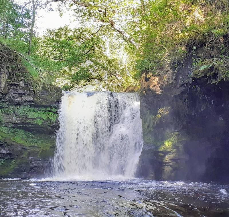
Waterfalls and fern-filled gorges are among the landscape’s defining features. Select a named walk and confirm its current access and conditions before visiting.
Look for dark skies
On a clear, dark night, seek out a suitable viewing location such as the National Park Visitor Centre, Usk Reservoir or Llanthony Priory; check access and conditions first.
Explore a gateway town
Brecon is described as a central gateway with independent shops, cafés, galleries, historic buildings and access to the Monmouthshire and Brecon Canal. Check individual venues and route details before visiting.
Make a day of it
Quick escape · 1–2 hours
Choose a short waterside walk
- 01
Pick a specific riverside or canal-side walk in or near a gateway town.
- 02
Check the route, access and parking information for that location before setting out.
- 03
Allow time to explore the waterside and return by the route you chose.
Half day · Half day
Make a half day of a gateway town and countryside
- 01
Choose a gateway town such as Brecon or Crickhowell.
- 02
Explore the town’s independent shops, cafés or historic buildings.
- 03
Add a locally checked walking or cycling route in the surrounding countryside.
- 04
Verify route conditions and facilities before travelling.
Verified history
The supplied material describes market towns and gateway communities as part of the visitor experience, including Brecon’s historic buildings and Merthyr Tydfil’s industrial heritage. It does not establish a specific historical episode or date for the park-wide location.
When to go
April · May · June · July · August · September · For walking, start early enough to complete your chosen route in daylight. For stargazing, choose a clear, dark night and check local access.
Longer daylight in spring and summer can make it easier to plan walks; the evidence also describes changing landscapes through the seasons. Conditions on exposed hills remain changeable.
Check the local forecast and route conditions before heading into the hills. No specific safety or seasonal access information for the supplied map pin is available.
Worth pairing with
Brecon
A gateway town with independent shops, cafés, galleries, historic buildings and the Monmouthshire and Brecon Canal, described as suitable for waterside walks and cycling.
Crickhowell
A town surrounded by hills, rivers and countryside, with independent shops, bakeries, cafés and pubs, and access to outdoor routes.
Hay-on-Wye
A book-focused town with independent bookshops, galleries, cafés and nearby countryside; the source notes its annual Hay Festival.
What to look for
Notice how open moorland, mountain slopes, wooded valleys and watercourses change across the landscape. For a more focused visit, choose a named route or feature and check its local guidance before you go.
The story
Market-town heritage, industrial heritage and archaeological landscapes are among the region’s wider themes; no specific historic site is identified by the supplied map pin.
Best time to go
Spring to autumn for longer days and varied walking; winter can bring dramatic conditions on the hills. Check forecasts and local access before travelling.
For walking, spring to autumn generally offers longer daylight; for stargazing, choose a clear, dark night and check conditions before travelling. Weather and access can change quickly, particularly on exposed hills.
How long to spend
Full day
Perfect for
Walkers · Photographers · Wildlife lovers · Cyclists · History lovers
Before you go
Practical information
Opening & access
A large national park with many places to explore. Access, parking and restrictions vary by location; check the relevant route or site before setting out.
Check before visiting
Parking
Check before visiting; parking depends on the chosen destination and is not specified for the supplied map pin.
Check before visiting
Toilets
Check before visiting.
Check before visiting
Food & drink
The park’s gateway towns offer places to eat and shop; check individual venues before visiting.
Check before visiting
Dogs
Check before visiting; rules may vary by site, route and livestock conditions.
Check before visiting
Accessibility
Accessibility varies across this extensive landscape. The source describes some wheelchair-accessible trails, but this does not establish access at every location; check the specific route before travelling.
Check before visiting
Cost
Check before visiting
Check before visiting
Water
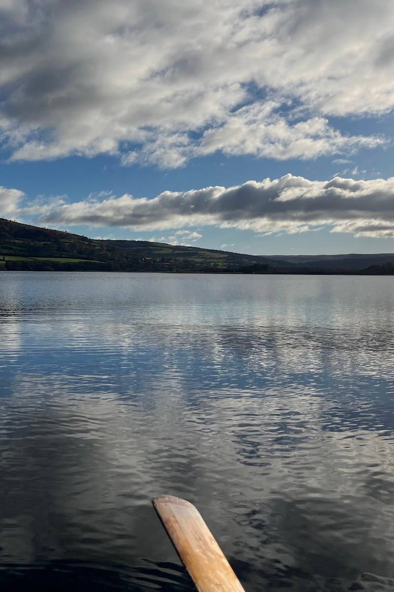
Rivers, waterfalls, lakes and reservoirs occur across the park. Swimming and paddling permission is not established for any particular water.
Gallery
Place photographsKeep exploring
Around Bannau Brycheiniog National Park (Brecon Beacons)
Within 50 km · approximate straight-line distances
 Place photograph5.6
Storey Arms Outdoor Education Centre
Libanus, near Brecon, Powys LD3 8NL
3.7 km away

 Place photograph8.2
Henrhyd Falls
Near Coelbren, Bannau Brycheiniog (Brecon Beacons), Wales
18.0 km away