Pontsticill, Merthyr Tydfil, South Wales
Pontsticill Reservoir
Reservoir
Place photograph
7.1
Wildland
Half day
Time
Check
Cost
Peaceful
Feel
Why it's Wildland
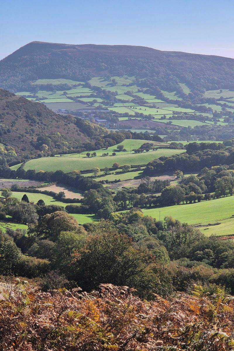
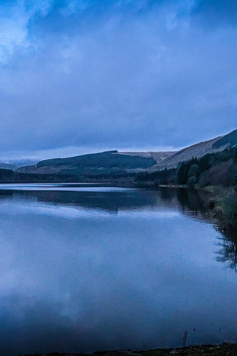
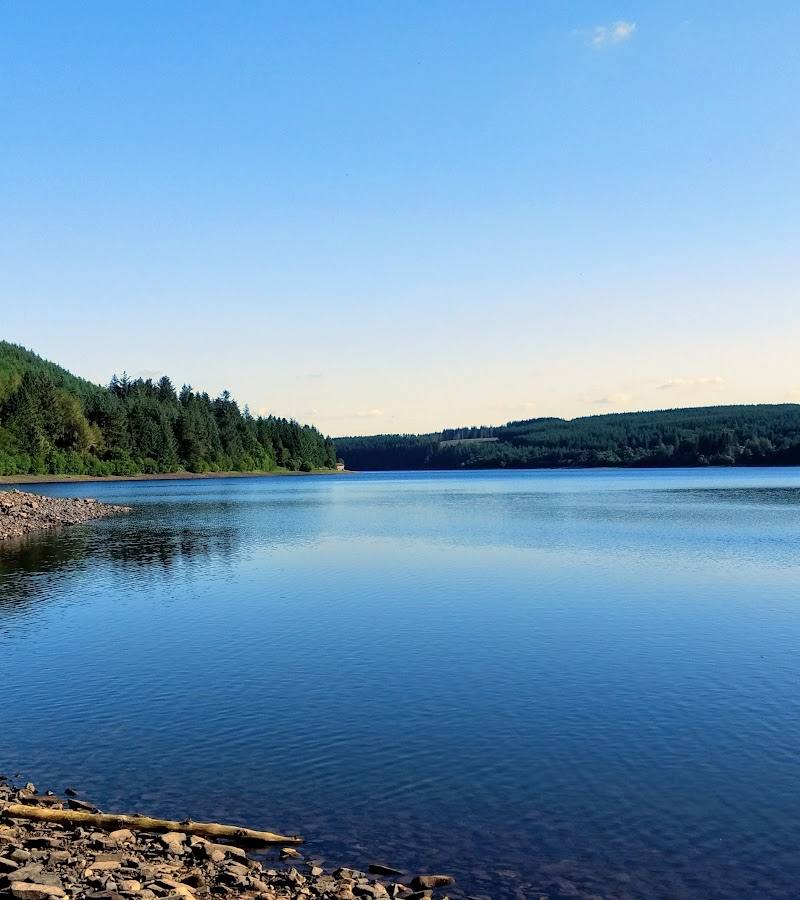
7.1An upland reservoir framed by wooded slopes and the Beacons, with a distinctive bell-mouth overflow at its dam and the Brecon Mountain Railway running along the opposite side of the water.
The appeal is the combination of open reservoir views, forest tracks and a striking piece of water infrastructure. A sourced circular route links these landscapes, making this more than a brief waterside viewpoint.
Peaceful · Dramatic · Big-sky
Find your way
Open mapPontsticill, Merthyr Tydfil, South Wales
Opening map…
Know this place a little better?
The experience
Walk the reservoir circuit for changing views across water, forest and upland scenery. The route description includes the dam’s bell-mouth overflow, a stretch beside the Brecon Mountain Railway and a return through Taf Fechan Forest. Allow around 2–2.5 hours for the cited 5.3-mile loop; confirm route conditions before setting out.
Things to do
Walk the Pontsticill circular
Follow the described loop from Pontsticill village around the reservoir, through Taf Fechan Forest and back. AllTrails lists it as 5.3 miles, moderate, with 390 ft of elevation gain.
2–2.5 hours
See the bell-mouth overflow
The circular route passes the dam, where the reservoir’s distinctive bell-mouth overflow is a notable feature.
Look across the reservoir towards the Beacons
The route description highlights views of the water with Pen y Fan and neighbouring peaks beyond; visibility depends on conditions.
Follow the forest section
The circular route returns through Taf Fechan Forest, contrasting woodland paths with the open reservoir and moorland sections.
Make a day of it
Quick escape · Check before visiting; no short-route duration is established by the supplied sources.
The dam and reservoir views
- 01
Visit the reservoir-side area and take in the water and mountain backdrop.
- 02
If following the circular route, continue to the dam to see the bell-mouth overflow; check route access and conditions first.
Half day · About 2–2.5 hours walking, according to AllTrails; allow extra time for stops.
Make a half day of the reservoir circuit
- 01
Start in Pontsticill village, as described for the circular route.
- 02
Follow the loop by the dam and bell-mouth overflow, then along the eastern banks and towards the northern end.
- 03
Cross back through Taf Fechan Forest and return to the southern end.
- 04
Pause for the reservoir, forest and moorland views; verify route conditions before departure.
Verified history
The supplied Tripadvisor description says the reservoir was completed in 1927 to supply South Wales. It identifies the bell-mouth overflow as a distinctive feature. No further historical detail is established by the supplied sources.
Hidden details
The bell-mouth overflow — The dam’s distinctive bell-mouth overflow is an easily identifiable engineering feature and a highlight of the circular route.
A railway on the far side — The AllTrails route description notes the Brecon Mountain Railway running parallel to the path on the reservoir’s eastern side.
When to go
· Choose a clear, calm period for views; no specific time of day is verified.
The supplied sources describe the reservoir as suitable to visit throughout the year but do not establish a seasonal highlight. Weather and visibility will affect the mountain views and walking conditions.
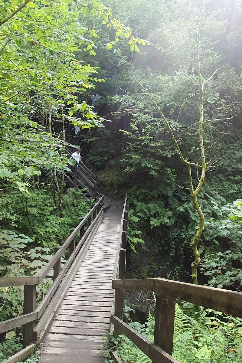
Check the forecast and route conditions before walking; the route includes gravel paths, an uphill section and a footbridge.
The route
- ascent
- 390 ft
- surface
- Paved road and gravel path; forest section and footbridge also described
- distance
- 5.3 miles
- duration
- 2–2.5 hours
- difficulty
- Moderate
- route shape
- Loop
- start point
- Pontsticill village, according to AllTrails
- parking start
- Check before visiting; the supplied route source does not confirm parking arrangements.
- Pontsticill Reservoir dam and bell-mouth overflow
- Reservoir views with the Beacons as a backdrop
- Eastern banks alongside the Brecon Mountain Railway
- Moorland views near the northern end
- Taf Fechan Forest
Worth pairing with
Brecon Mountain Railway
The railway runs along the eastern side of the reservoir according to the circular-route description. Check separately for current operating information before planning a visit.
Taf Fechan Forest
Included in the reservoir circular route, making it a sourced landscape pairing within the walk rather than a separate detour.
What to look for
At the dam, look for the distinctive bell-mouth overflow. On the circular walk, notice how the route shifts between reservoir shore, forest and open moorland views.
The story
Water supply and reservoir infrastructure
Best time to go
All year; choose a clear, calm day for the best mountain and water views. Check conditions before walking.
A clear, calm day should give the best views across the reservoir towards the surrounding mountains. No more precise seasonal peak is established by the supplied sources.
How long to spend
Half day
Perfect for
Walkers · Photographers · Families · Dogs
Before you go
Address
Google rating
Practical information
Opening & access
A reservoir-side circular walk is described by AllTrails. Check current access, route conditions and any restrictions before setting out.
Check before visiting
Parking
Check before visiting; supplied sources do not confirm parking arrangements.
Check before visiting
Toilets
Check before visiting
Check before visiting
Food & drink
Check before visiting
Check before visiting
Dogs
Check before visiting
Check before visiting
Accessibility
The described circular route includes paved road, gravel paths, a gentle uphill section and a footbridge; accessibility suitability is not confirmed. Check conditions and route details before visiting.
Check before visiting
Cost
Check before visiting
Check before visiting
Water
Reservoir
Gallery
Place photographs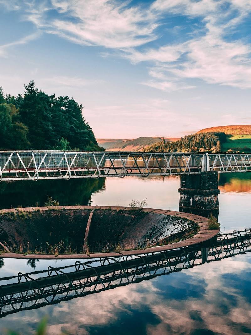
Keep exploring
Around Pontsticill Reservoir
Within 50 km · approximate straight-line distances

 Place photograph5.6
Storey Arms Outdoor Education Centre
Libanus, near Brecon, Powys LD3 8NL
9.8 km away
 Place photograph7.7
Clydach Gorge
Gilwern and Clydach, near Abergavenny, Monmouthshire, Wales
17.3 km away