Stoke Dry, on the Leicestershire–Rutland border
Eye Brook Reservoir
Reservoir
Place photograph
6.2
Wildland
1–2 hours
Time
Check
Cost
Peaceful
Feel
Why it's Wildland
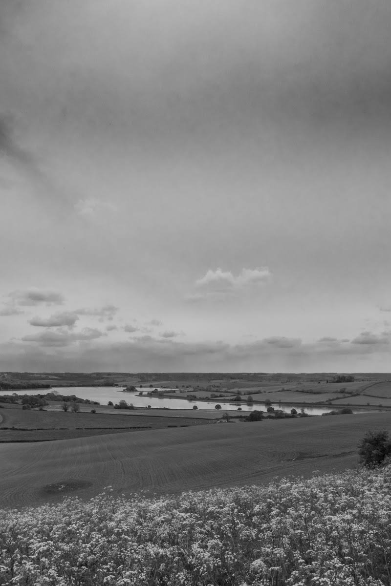
6.2Built between 1937 and 1940 to supply Corby steelworks, this large reservoir later served as a practice site for the 1943 Dambuster raids. Its waters and wetland edges are also important for wintering wildfowl.
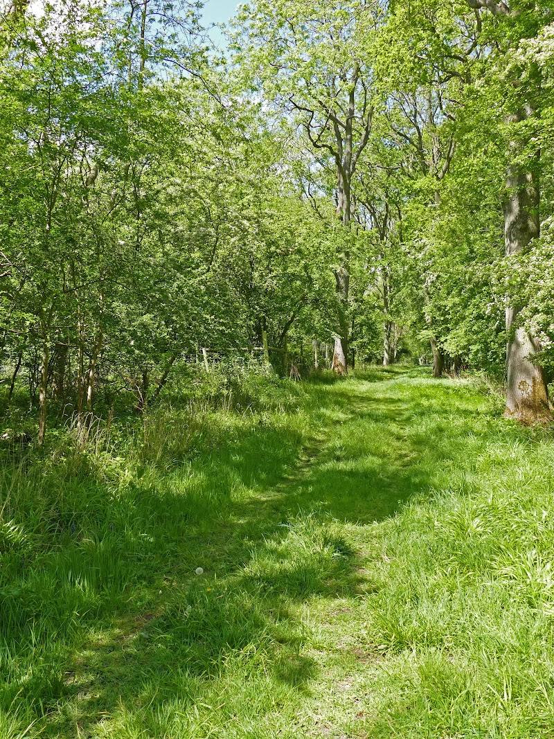
Eye Brook is more than a waterside stroll: its working-reservoir history, bird-rich shoreline and views across rolling farmland give the eastern-shore footpath a strong sense of place. The key is to enjoy it from the public path; much of the reservoir is not open to general access.
Peaceful · Big-sky · Wild
Find your way
Open mapStoke Dry, on the Leicestershire–Rutland border
Opening map…
Know this place a little better?
The experience
Walk the public eastern-shore section from the north-eastern end, looking across the reservoir to its wooded and farmland setting. Allow around 1–2 hours for a short out-and-back; a 3.7-mile route is also described, but its precise route conditions should be checked before setting out.
Things to do
Walk the public eastern shore
Follow the public footpath beside the reservoir from the north-eastern end. The supplied route source describes a 3.7-mile walk and warns that the southern area is private; check the mapped route and conditions before setting off.
3.7 miles; duration not stated
Watch for wintering wildfowl
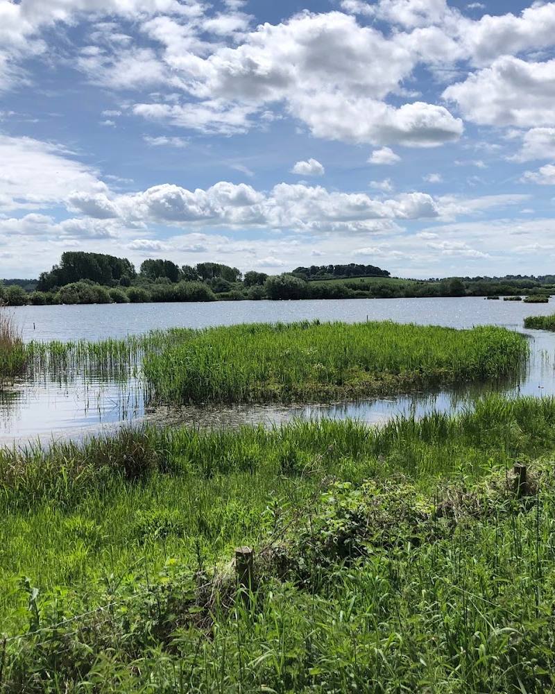
Scan the reservoir from the public shore. The supplied sources identify wintering wildfowl and name wigeon, pochard, teal and smew among reported sightings; sightings are not guaranteed.
Look across the rolling countryside
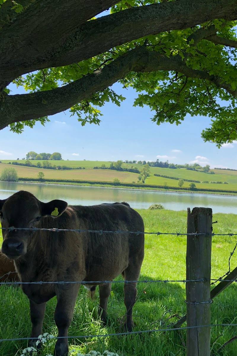
Take in the reservoir’s surrounding farmland and woodland from the public footpath, rather than seeking access to restricted shores.
Visit Stoke Dry’s medieval church
The route source notes an interesting medieval church dedicated to St Andrew in Stoke Dry. Check whether it is open before making a special visit.
Make a day of it
Quick escape · About 1–2 hours; estimate, not a sourced route duration
Quick Escape: eastern-shore out-and-back
- 01
Start from the reported car park off Main Street at the north-eastern end, after checking current access and parking.
- 02
Follow the public footpath along the eastern shore for as much of the route as suits your time.
- 03
Pause to scan the water for wildfowl and take in the reservoir’s farmland and woodland setting.
- 04
Return the way you came; do not enter the private southern area.
Half day · Half day
Make a Half Day of It: reservoir walk and Stoke Dry
- 01
Begin with the public eastern-shore walk, choosing an out-and-back section or following the sourced 3.7-mile route only after checking the map and current conditions.
- 02
Allow time for birdwatching from the permitted route; the reservoir is identified as a wintering-wildfowl site.
- 03
If you want to extend the outing, the route source suggests continuing onto the Rutland Round, but check route details before departure.
- 04
Visit Stoke Dry’s medieval church of St Andrew as a separate village stop; verify access and opening arrangements before travelling.
- 05
Keep the southern reservoir area off your itinerary: the route source identifies it as private land.
Verified history
Eyebrook Reservoir was built between 1937 and 1940 to supply Corby steelworks. The supplied Tripadvisor page states that it was used as a practice site for the 1943 Dambusters raids. The same source describes it as a biological Site of Special Scientific Interest for wintering wildfowl and wetland habitats. The reservoir is managed as a trout fishery, but the source says there is no general public access to the water itself; a public footpath runs along the eastern shore.
Folklore & legend
The supplied walking-route source says Stoke Dry is reputed to be where the Gunpowder Plot was hatched. This is presented there as local historical reputation, not established fact; the supplied material does not verify the claim.
Hidden details
A reservoir linked to the Dambusters’ practice — The supplied source reports that the reservoir was used as a practice site for the 1943 Dambusters raids—a striking wartime connection to bear in mind while looking across the water.
Stoke Dry’s Gunpowder Plot tradition — The nearby village is reputed to be where the Gunpowder Plot was hatched. Treat this as a local tradition: the supplied route source does not provide evidence establishing it as fact.
When to go
October · November · December · January · February · A calm, clear morning is a practical choice for watching birds and enjoying open-water views; this is editorial guidance, not a sourced operating detail.
The supplied source identifies the reservoir as important for wintering wildfowl, making October–February the best-supported seasonal focus. Other seasons suit a general countryside walk, but no specific seasonal spectacle is evidenced.
Check the forecast and route conditions before setting out. No specific weather guidance is provided by the supplied sources.
The route
- distance
- 3.7 miles (6 km), as stated by the supplied route source
- start point
- Car park at the north-eastern end of the reservoir, off Main Street in Stoke Dry, according to the route source; verify current arrangements.
- parking start
- Route source reports a car park at the north-eastern end off Main Street in Stoke Dry. Its postcode LE15 9JG is marked approximate; the source row separately gives LE16 8RP.
- shorter alternative
- Use the public eastern-shore path for a shorter out-and-back rather than completing the described 3.7-mile walk; no shorter measured route is supplied.
- Public footpath along the eastern shore
- Views over woodland and surrounding rolling countryside
- Reported wildlife and wildfowl sightings
Worth pairing with
Stoke Dry and St Andrew’s Church
Pair the reservoir walk with the medieval church in Stoke Dry, noted by the walking-route source. Check church access and opening before visiting.
Rutland Round
The route source says the Rutland Round passes the reservoir and can extend the walk. Confirm the route, distance and current conditions before combining them.
What to look for
- 01
Scan the water for wildfowl
- 02
the route source names wigeon, pochard, teal and smew among reported sightings. Look out over the surrounding rolling countryside and consider the reservoir’s wartime training connection, while staying on the public path.
The story
Industry; Second World War aviation
Best time to go
October–February for wintering wildfowl; spring and summer for a quieter countryside walk and broader wildlife watching.
October–February is the strongest stated season for wintering wildfowl. Choose a calm, clear morning for birdwatching and open-water views.
How long to spend
1–2 hours
Perfect for
Walkers · Wildlife lovers · Photographers · History lovers
Before you go
Address
Google rating
Practical information
Opening & access
The reservoir itself has no general public access. A public footpath runs along the eastern shore; keep to the public route and do not enter the private southern area.
Parking
A car park is reported at the north-eastern end of the water, off Main Street in Stoke Dry; check current availability before travelling.
Check before visiting
Toilets
Check before visiting
Check before visiting
Food & drink
Check before visiting
Check before visiting
Dogs
Check before visiting
Check before visiting
Accessibility
A public footpath follows the eastern shore. Surface, gradients and accessibility details are not established by the supplied sources; check before visiting.
Check before visiting
Cost
Check before visiting
Check before visiting
Water
Reservoir
Gallery
Place photographs
Keep exploring
Around Eye Brook Reservoir
Within 50 km · approximate straight-line distances
 Place photograph6.8
Corby Old Quarry ‘Gullet’ (The Gulley)
Priors Hall Park, Corby, Northamptonshire
9.2 km away


Tailby Meadow
On the edge of Desborough, Northamptonshire, beside the River Ise
13.2 km away