6.5
Wildland
1–2 hours
Time
Free
Cost
Big-sky
Feel
Why it's Wildland
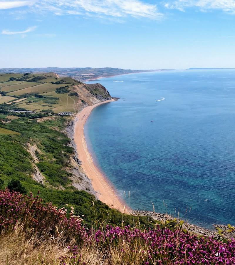
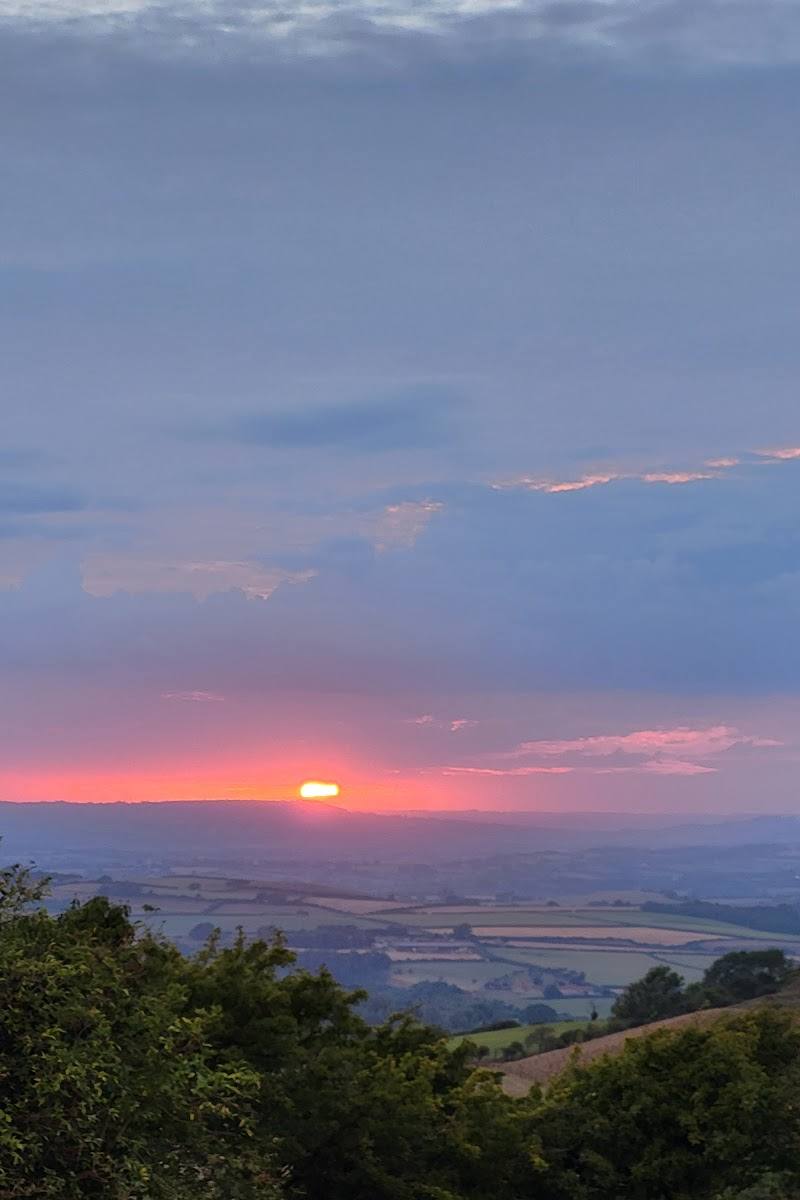
6.5A roughly 2,500-year-old hillfort crowns Eggardon Hill, where grassy ramparts look out across Marshwood Vale towards the Jurassic Coast.
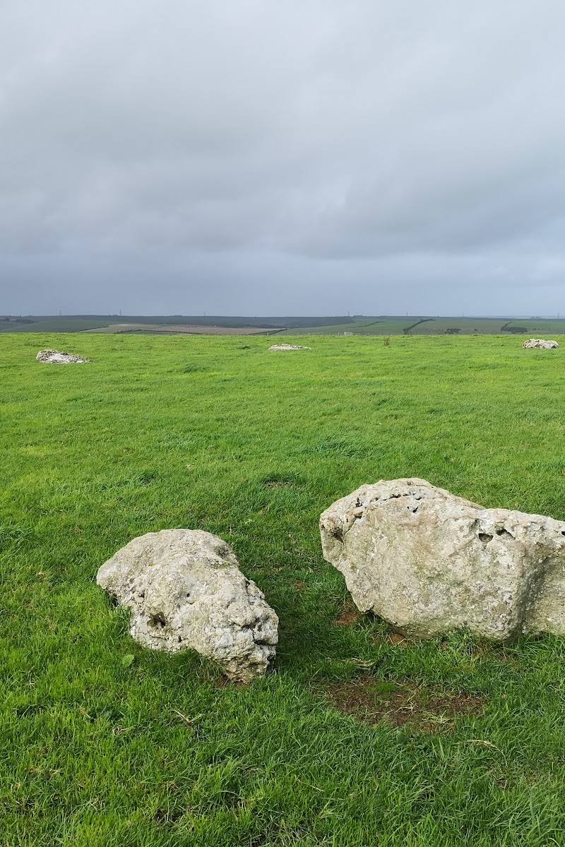
Eggardon brings ancient earthworks and broad, open downland together with far-reaching views from the Marshwood Vale to the coast. The hilltop is exposed and the ramparts are steep in places, so come prepared for wind and uneven ground.
Big-sky · Atmospheric · Wild
Find your way
Open mapNear Askerswell, Bridport, Dorset
Opening map…
Know this place a little better?
The experience
Come for the combination of hillfort earthworks, open downland and expansive views. A short visit can focus on the plateau and its ramparts; allow longer if following a wider countryside walk. The site is exposed, and the ramparts are steeper than the plateau paths.
Things to do
Walk the plateau
Take the fairly level circular walk across the plateau towards the far end of Eggardon for extensive views. Stay on permitted paths: the National Trust notes that the northern half of the fort is privately owned.
Check before visiting
Trace the hillfort ramparts
Look for the grassy earthworks of the Iron Age hillfort. The ramparts are steeper and more challenging than the plateau walk.
Check before visiting
Look for seasonal downland flowers and butterflies
The National Trust highlights orchids in spring, Adonis blue butterflies in early summer and autumn gentian flowering between July and October.
Make a day of it
Quick escape · 1–2 hours
Quick Escape: the hillfort and the view
- 01
Park in the lay-by at the bottom of the hill identified by the National Trust and cross the road to the footpath.
- 02
Walk up towards the southern ramparts, keeping to permitted paths.
- 03
Explore the plateau and pause to take in the views across Marshwood Vale towards the Jurassic Coast.
Half day · Half day
Make a Half Day of It: Askerswell and Eggardon Hill
- 01
Start in Askerswell and explore the village and its church, as shown in the supplied walk account.
- 02
Follow a planned countryside walk towards Eggardon Hill; the described circular walk passes through fields and climbs to the hillfort.
- 03
Spend time on the hilltop exploring the earthworks and taking in the views.
- 04
Return by your chosen route, checking the route and land access before setting out.
Verified history
The National Trust describes Eggardon Hill as an Iron Age hillfort about 2,500 years old. Two Bronze Age burial mounds originally stood on the summit. In the 18th century, smuggler Isaac Gulliver reportedly used a small plantation of trees as a landmark to guide ships towards the coast. The hillfort’s grassy earthworks remain visible, but the plantation story should be treated as the National Trust’s historical account rather than a detail independently established here.
Hidden details
An older layer beneath the hillfort — The hillfort is not the earliest known feature of the summit: the National Trust notes that two Bronze Age burial mounds were there before it.
A smuggler’s landmark — The National Trust says Isaac Gulliver used a small plantation on the hill in the 18th century as a landmark to help guide ships towards the coast.
When to go
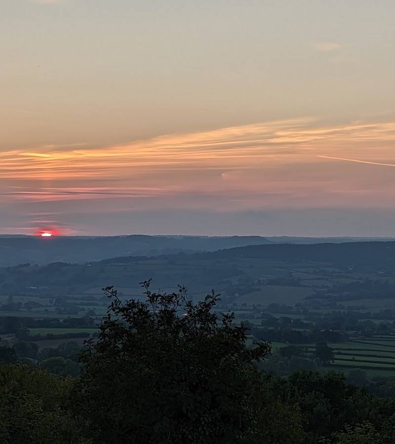
April · May · June · July · August · September · October · A clear day for the views; summer sunset is specifically recommended by the National Trust.
Spring brings orchids, early summer is a time to look for Adonis blue butterflies, and autumn gentian flowers from July to October. The open hilltop is also suited to taking in the views and summer sunsets.
The hilltop is exposed. Check the forecast and be ready for wind; grassy paths can be uneven.
The route
- ascent
- 153 m for the 3.7 km loop, according to the route source.
- stiles
- The route source mentions a few stiles and gates; check the route before setting out.
- surface
- The route source describes grassy and dirt paths that may become muddy after rain. The National Trust describes grassy paths on site.
- distance
- A separate route source describes a 3.7 km loop; a longer 5.5-mile circular walk from Askerswell is also described.
- duration
- About 1 hour for the 3.7 km loop; allow longer for the Askerswell circular walk.
- difficulty
- Medium for the 3.7 km route; the plateau walk is fairly level, while the ramparts are steeper and more challenging.
- waymarking
- Check before visiting.
- route shape
- Loop for the 3.7 km route; the longer Askerswell route is also described as circular.
- start point
- For the hilltop visit, the National Trust directs visitors from the lay-by towards the southern ramparts. The longer circular walk described in the video starts at the Spyway Inn near Askerswell.
- parking start
- The National Trust identifies a free lay-by at the bottom of the hill, not a National Trust car park. The video route begins at the Spyway Inn; parking arrangements there are not confirmed.
- shorter alternative
- Stay on the National Trust’s fairly level plateau walk rather than attempting the steeper ramparts or a longer countryside loop.
- Iron Age hillfort earthworks
- Views across Marshwood Vale towards the Jurassic Coast
- Seasonal orchids, Adonis blue butterflies and autumn gentian
Worth pairing with
Askerswell village and St Michael’s Church
A supplied walking account links Askerswell village and its church with a longer countryside walk to Eggardon Hill. Confirm the route and access details before following it.
What to look for
Follow the line of the grassy ramparts and ditches, and look for orchids in spring, Adonis blue butterflies in early summer and autumn gentian between July and October. The hillfort occupies a summit that also had two Bronze Age burial mounds.
The story
Iron Age hillfort and earlier Bronze Age burial mounds.
Best time to go
Spring to early summer for orchids and the Adonis blue butterfly; July to October for autumn gentian.
Spring for orchids and early summer for Adonis blue butterflies. On a clear day, the views stretch from Marshwood Vale towards the Jurassic Coast; summer evenings are noted as a good time to enjoy the sunset.
How long to spend
1–2 hours
Perfect for
Walkers · Photographers · History lovers · Wildlife lovers
Before you go
Address
Google rating
Practical information
Opening & access
The National Trust’s southern half is open dawn to dusk. The northern half is privately owned; stay on permitted paths and check current access information before setting out.
Check before visiting
Parking
A lay-by at the bottom of the hill is identified by the National Trust as free parking; it is not National Trust car parking. Check current availability before travelling.
Check before visiting
Toilets
No toilets.
Food & drink
Check before visiting.
Check before visiting
Dogs
Dogs are allowed. Keep them under close control around grazing livestock, clean up after them and respect other walkers.
Accessibility
The plateau has a fairly level circular walk on grassy paths, but expect uneven ground and a gate. The ramparts are steep and more challenging.
Cost
Free
Gallery
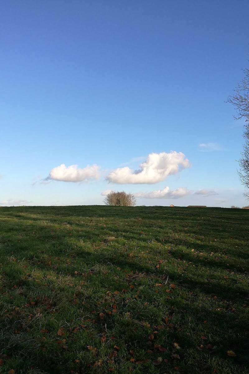
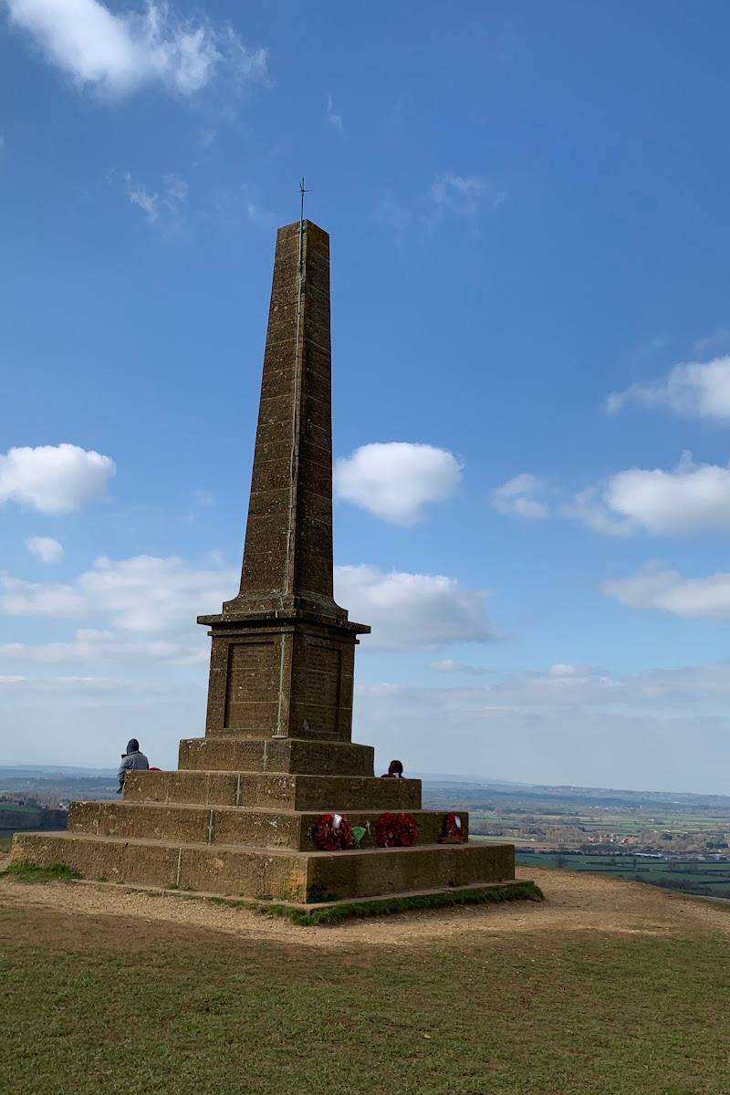
Place photographs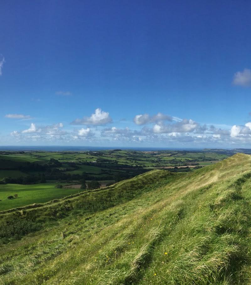
Keep exploring
Around Eggardon Hill
Within 50 km · approximate straight-line distances