Northolt, UB5 6RB, London Borough of Ealing
Down Barns Moated Site
Earthworks
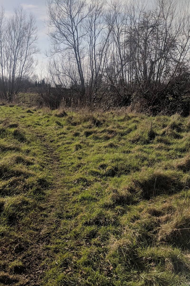
Place photograph
3.6
Wildland
Under 1 hour
Time
Check
Cost
Atmospheric
Feel
Why it's Wildland
3.6A medieval manor site survives here less as a building than as a substantial earthwork: a raised platform, once enclosed by a moat, on the former manor lands of Down Barns.
Down Barns offers a small, tangible trace of medieval Northolt: a scheduled moated site whose surviving platform and moat still reveal the shape of a lost manor landscape. Its appeal is archaeological discovery rather than a developed visitor attraction; access needs checking before setting out.
Atmospheric · Ancient-feeling
Find your way
Open mapNortholt, UB5 6RB, London Borough of Ealing
Opening map…
Know this place a little better?
The experience
A brief archaeological visit, if lawful public access is available. The monument is a sub-rectangular medieval moated site; visitor routes and access arrangements are not confirmed.
Things to do
Understand the shape of the moated site
The scheduled monument record describes a north–south-oriented, sub-rectangular site. If it can be viewed from a place you are permitted to access, compare the ground’s form with that description; do not enter without permission.
Short stop
Look for the raised platform and causeway
Historic England records an island or platform raised above the moat and a causeway on its eastern side. Their visibility from any lawful viewing point is not established.
Short stop
Make a day of it
Quick escape · Under 1 hour, if access is available
A brief look at the medieval earthwork
- 01
Check whether lawful public access is available before travelling.
- 02
If access is confirmed, observe the monument only from permitted ground.
- 03
Look for the raised platform and the moat’s sub-rectangular outline described in the official record.
Verified history
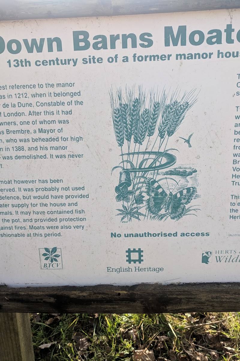
Historic England identifies Down Barns as a medieval moated site at Down Barns Farm. The site lies on gently sloping, low-lying ground near Yeading Brook and Ten Acres nature reserve. Its platform is described as up to 86 metres long and 47 metres wide, standing up to about 3 metres above the moat’s water level. The moat varies in width; on the western side it has probably become partly infilled and survives as a buried feature. An eastern causeway gives access to the platform. The manor’s early history is uncertain: Roger de la Downe held freehold land in Northolt in 1212; the holding was in William de Scaccario’s possession in 1293, and Ralph Basset of Drayton acquired it by 1326. The manor was later sold to John de Bohun, Earl of Hereford and Essex, and around 1354 to Simon Francis. Historic England describes the monument as a good example that survives well and may retain archaeological and environmental information.
Hidden details
The eastern causeway — The official monument description records a causeway on the eastern side of the platform. Whether it can be seen from a lawful public viewing point is not known.
A moat partly lost below ground — Historic England notes that part of the western moat has probably become infilled and survives as a buried feature, so the earthwork may not appear equally complete on every side.
When to go
· No source-supported preference; check access before visiting.
The supplied source gives no seasonal visitor guidance.
No site-specific weather or surface guidance is available. Check conditions and access before visiting.
What to look for
If visible from a place you are lawfully entitled to stand, look for the raised platform, the moat’s outline and the eastern causeway described in the official monument record. Do not cross onto the monument or private land without permission.
The story
Archaeology
Best time to go
No season-specific visitor information is available; check access before planning a visit.
No best time is documented. Confirm access before travelling.
How long to spend
Under 1 hour
Perfect for
History lovers
Before you go
Address
Google rating
Practical information
Opening & access
The site is a scheduled monument, but the supplied information does not confirm public access or identify a visitor entrance. Check access before visiting; do not enter private land or the monument without permission. Access arrangements are unconfirmed. Check before visiting; do not enter private land or restricted structures.
Check before visiting
Parking
Unknown; check before visiting.
Check before visiting
Toilets
Unknown; check before visiting.
Check before visiting
Food & drink
Unknown; check before visiting.
Check before visiting
Dogs
Unknown; check before visiting.
Check before visiting
Accessibility
Visitor access, paths, surfaces and accessibility are not confirmed. Check before visiting and do not assume the monument can be entered.
Check before visiting
Cost
Unknown; check before visiting.
Check before visiting
Water
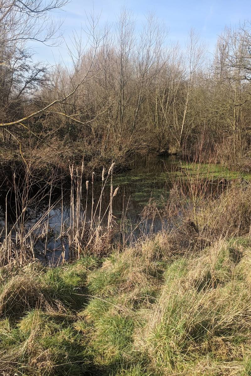
Moat
Gallery
Place photographsKeep exploring
Around Down Barns Moated Site
Within 50 km · approximate straight-line distances