Ditchling Road, near Brighton, East Sussex BN6 8RJ
Ditchling Beacon
Viewpoint
Place photograph
7.3
Wildland
1–2 hours for a short summit visit
Time
Check
Cost
Big-sky
Feel
Why it's Wildland
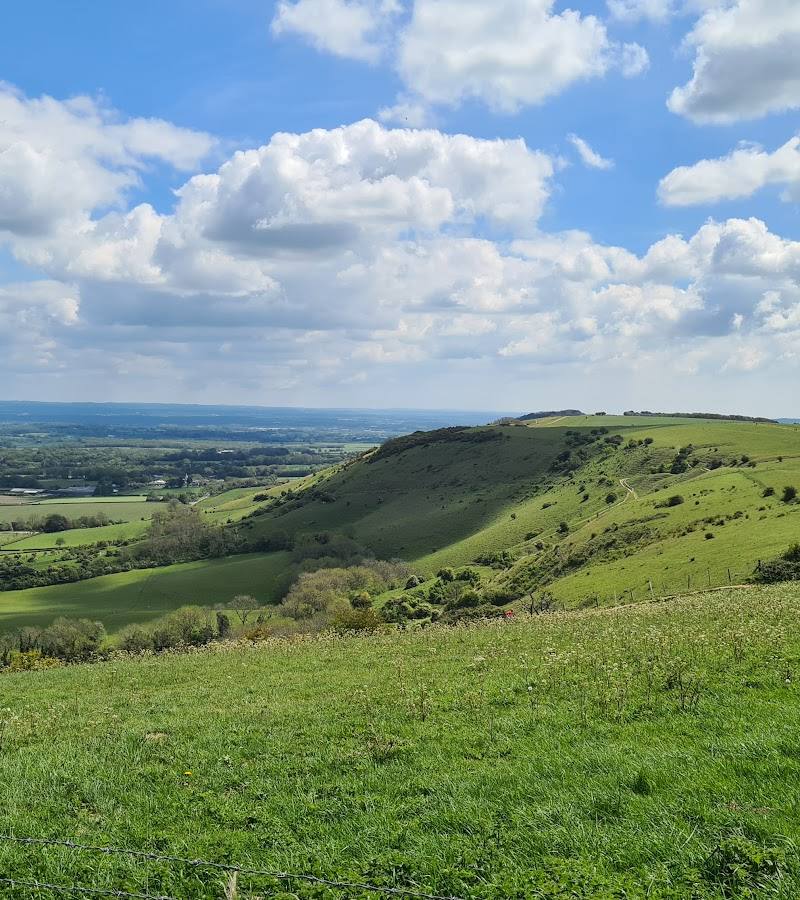
7.3At 248 metres, Ditchling Beacon is East Sussex’s highest point. Its open chalk summit looks over the Weald and South Downs, with the sea visible in clear conditions; beneath the grass are the remains of an Iron Age hillfort.
The draw here is the scale of the view and the sense of standing high above the surrounding countryside, not a long list of facilities. Pair a short summit visit with the South Downs National Park Authority’s 4–5-mile circular walk for a more substantial outing.
Big-sky · Dramatic · Wild
Find your way
Open mapDitchling Road, near Brighton, East Sussex BN6 8RJ
Opening map…
Know this place a little better?
The experience
Come for the expansive South Downs outlook and a short walk to the summit, or follow the National Park Authority’s 4–5-mile circular route for a half-day outing. The hillfort remains and dew ponds add details to notice along the way.
Things to do
Take in the summit panorama
Walk up to the beacon for views across the Weald and along the South Downs; the National Park Authority also notes views towards the sea.
Short visit; exact duration not sourced
Walk the Ditchling Beacon circular
Follow the South Downs National Park Authority’s 4–5-mile circular, which uses the South Downs Way, Sussex Border Path and bridleways. Expect moderate inclines, loose or uneven surfaces, muddy sections and gates.
2–3 hours
Find the hillfort’s faint earthworks
Look carefully for slight ridges in the grass. The remains of the Iron Age hillfort are not prominent in the landscape.
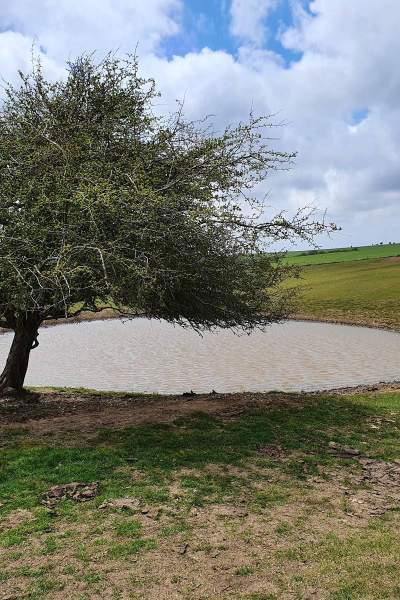
Notice the dew ponds
The circular walk is described as a route with dew ponds; watch for them as you follow the route.
Make a day of it
Quick escape · About 1–2 hours; duration is an estimate, not a sourced route time.
Quick summit and big-sky views
- 01
Check current car park access and conditions before setting out.
- 02
From the car park, take a short walk to the beacon and pause to take in the views across the Weald and South Downs.
- 03
Look for the low, subtle ridges of the hillfort remains before returning the way you came.
Half day · 2–3 hours
Make a half day of it: Ditchling Beacon circular
- 01
Start at the car park and follow the South Downs Way through the gates as described by the National Park Authority.
- 02
Continue onto the Sussex Border Path, then follow the described bridleways and tracks around the hill.
- 03
Notice the dew ponds and the subtle remains of the hillfort; return to the car park by rejoining the South Downs Way.
- 04
Check the route page and conditions before departure: the route has moderate inclines and can be loose, uneven and muddy.
Verified history
Ditchling Beacon was the site of a warning beacon, lit when invasion was imminent. The summit also has remains of an Iron Age hillfort. The National Park Authority’s description identifies the hillfort as Iron Age; more specific claims about its age or construction are not established by the supplied sources.
Hidden details
The hillfort is easy to miss — The earthworks are described in the supplied sources as remains, and a walk account notes that the ramparts are faint and difficult to make out. Look for slight ridges rather than a clearly standing fort.
When to go
· Choose a clear, calm period for the broadest views. No supplied source establishes a best hour or quietest time.
The main draw is the open landscape and long-range views, which depend on visibility and weather. The supplied sources do not identify particular peak months.
The exposed summit may be windy; check the forecast and route conditions. The circular route can be muddy and uneven, with loose surfaces and moderate inclines.
The route
- stiles
- Not specified; the route description mentions gates.
- surface
- Loose surface; uneven and muddy in parts
- distance
- 4–5 miles
- duration
- 2–3 hours
- difficulty
- Moderate
- waymarking
- Route directions are supplied by the South Downs National Park Authority; signs are mentioned at points.
- route shape
- Circular
- start point
- Ditchling Beacon car park, Ditchling Road
- parking start
- A National Trust car park on Ditchling Road is reported; check current access and charges.
- shorter alternative
- Walk from the car park to the beacon and return; no distance or duration for this shorter option is supplied.
- Views towards the sea, across the Weald and along the South Downs
- Dew ponds
- Iron Age hillfort remains
- South Downs Way and Sussex Border Path
Worth pairing with
Jack and Jill Windmills
The South Downs National Park Authority includes the windmills in its circular-walk information and notes that Jill may be operating when the wind is blowing; check the windmill’s own information before planning a visit.
What to look for
Look for subtle ridges in the grass marking the Iron Age hillfort remains, and notice the dew ponds on the circular walk. The hillfort’s earthworks are low and not immediately obvious.
The story
Iron Age hillfort remains and the site of a historic warning beacon
Best time to go
Clear, settled days in spring through autumn; choose a calm day for the widest views. Exact seasonal conditions vary.
Choose a clear, calm day; the panoramic views are the main reward. Early or later in the day may feel quieter, but no source confirms a particular quiet period.
How long to spend
1–2 hours for a short summit visit; 2–3 hours for the sourced circular walk
Perfect for
Walkers · Photographers · Cyclists · History lovers
Before you go
Address
Google rating
Practical information
Opening & access
A South Downs summit crossed by the South Downs Way and local footpaths. A National Trust car park is reported on Ditchling Road; check current access, parking arrangements and any charges before travelling.
Check before visiting
Parking
A National Trust car park on Ditchling Road is reported by Tripadvisor. Check current availability, access and charges before setting out.
Check before visiting
Toilets
Check before visiting
Check before visiting
Food & drink
An ice cream van is mentioned in Google review tags, but its presence is not guaranteed; check before visiting.
Check before visiting
Dogs
Check before visiting
Check before visiting
Accessibility
The circular route is described as moderate, with inclines, loose and uneven surfaces, muddy sections and gates. Check the route details and current conditions before visiting.
Check before visiting
Cost
Check before visiting
Check before visiting
Water
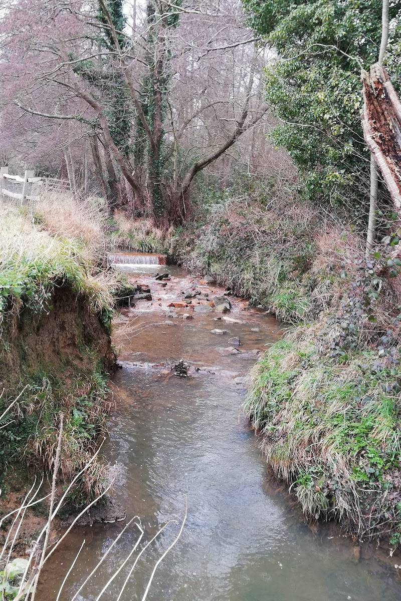
Dew ponds are noted on the circular walk; no swimming permission or water activity is evidenced.
Gallery
Place photographs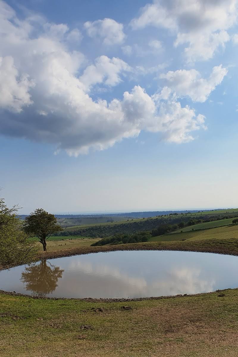
Keep exploring
Around Ditchling Beacon
Within 50 km · approximate straight-line distances