7.6
Wildland
1–2 hours
Time
Check
Cost
Big-sky
Feel
Why it's Wildland
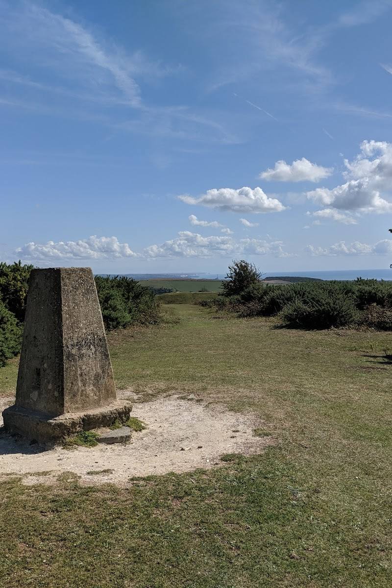
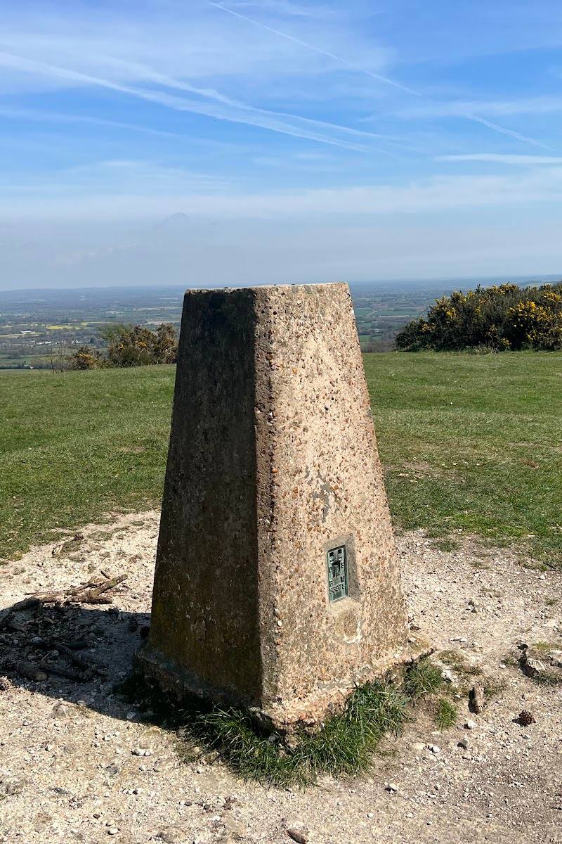
7.6At 248 metres, Ditchling Beacon is the highest point in East Sussex: a chalk-downland summit with far-reaching views and traces of an Iron Age hillfort.
This is more than a roadside viewpoint: open downland, big views towards the sea and across the Weald, and visible traces of an Iron Age hillfort give the summit a strong sense of place. The National Trust’s history walk is steep and challenging, so come prepared for rough ground.
Big-sky · Wild · Dramatic
Find your way
Open mapNear Ditchling, East Sussex
Opening map…
Know this place a little better?
The experience
Come for the open summit and views towards the sea, the Weald and along the South Downs. For a more substantial visit, follow the National Trust’s steep, challenging 4.32 km history trail and look for the hillfort remains and old trackways.
Things to do
Walk the National Trust history trail
Take the 4.32 km trail from the Beacon car park to explore the hillfort remains, evidence of early industry and ancient farming trackways. The route is described as challenging, with steep slopes and rough terrain.
2 hours 30 minutes
Take in the South Downs views
Walk the paths around the 248-metre summit for views towards the sea, across the Weald and along the South Downs.
Cycle across the Beacon
The South Downs Way bridleway crosses the site. Check the route and current conditions before riding.
Make a day of it
Quick escape · Allow 1–2 hours; exact duration depends on the walk chosen.
Quick Escape: summit views
- 01
Start from Ditchling Beacon car park.
- 02
Take a short walk on the paths around the summit and pause to take in the views towards the sea, across the Weald and along the South Downs.
- 03
Check the ground for the hillfort earthworks before returning to the car park.
Half day · 2 hours 30 minutes for the National Trust trail; allow longer for pauses.
Make a half day of it: walk through the Beacon’s history
- 01
Start at Ditchling Beacon car park, postcode BN6 8XG.
- 02
Follow the National Trust’s 4.32 km history walk, described as challenging, steep and rough underfoot.
- 03
Look for the Iron Age hillfort remains, evidence of early industry and ancient farming trackways.
- 04
Return to the car park; check route and ground conditions before setting off.
Verified history
Ditchling Beacon was the site of a warning beacon lit when invasion threatened. The summit also holds the remains of an Iron Age hillfort. The National Trust’s history walk describes evidence of early industry and ancient farming trackways visible in the ground.
Hidden details
Read the ground for ancient trackways — The National Trust history trail draws attention to ancient farming trackways and other changes in the ground. Look for the low rises and hollows rather than expecting a standing monument.
Hillfort earthworks — The site has remains of an Iron Age hillfort; the National Trust trail invites visitors to interpret the lumps and bumps underfoot.
When to go
· Choose a clear spell for the views; the supplied sources do not specify a best time of day.
The supplied sources describe walks and views but do not establish a particular seasonal highlight.
The National Trust trail includes steep slopes and rough terrain; the South Downs circular route can be uneven and muddy. Check conditions before visiting.
The route
- stiles
- Gates are mentioned on the South Downs National Park route; the National Trust trail image and description mention a stile, but the total number is not specified.
- surface
- Steep, rough terrain on the National Trust trail; the South Downs National Park route has loose, uneven and sometimes muddy surfaces.
- distance
- 4.32 km (2.7 miles) for the National Trust history trail; a separate South Downs National Park circular is listed as 4–5 miles.
- duration
- 2 hours 30 minutes for the National Trust trail; 2–3 hours for the South Downs National Park circular.
- difficulty
- Challenging for the National Trust history trail; moderate for the South Downs National Park circular.
- waymarking
- The South Downs National Park route directions refer to the South Downs Way, Sussex Border Path, gates and a public bridleway. Follow the supplied route directions and check current signage.
- route shape
- Circular route listed by the South Downs National Park; route shape for the National Trust history trail is not specified in the supplied details.
- start point
- Ditchling Beacon car park, BN6 8XG.
- parking start
- Ditchling Beacon car park on Ditchling Road; limited spaces and busy at weekends. Check current charges and payment arrangements.
- Views towards the sea, across the Weald and along the South Downs
- Remains of an Iron Age hillfort
- Ancient farming trackways and evidence of early industry on the National Trust history trail
Worth pairing with
Jack and Jill Windmills
The South Downs National Park circular-walk page describes Jack and Jill Windmills as nearby landmarks on the Downs. Jill may be in operation when the wind is blowing; check the windmill society’s details before planning a visit.
What to look for
Look for the uneven earthworks of the Iron Age hillfort and the traces of ancient farming trackways. The National Trust history walk focuses on reading these changes in the ground.
The story
Iron Age hillfort, ancient farming trackways and a historic warning beacon.
Best time to go
Check conditions before visiting; the supplied sources do not identify a definitive best season.
Choose a clear day for the broadest views. The sources do not specify a best time of day.
How long to spend
1–2 hours
Perfect for
Walkers · Photographers · History lovers · Cyclists
Before you go
Address
Phone
Website
Listed hours
- Monday: 10am-5pm
- Tuesday: 10am-5pm
- Wednesday: 10am-5pm
- Thursday: 10am-5pm
- Friday: 10am-5pm
- Saturday: 10am-5pm
- Sunday: 10am-5pm
Check before visiting.
Google rating
Practical information
Opening & access
National Trust site crossed by footpaths and bridleways, including the South Downs Way. Check current access and parking arrangements before setting out.
Check before visiting
Parking
National Trust car park on Ditchling Road, BN6 8XG. Limited spaces; it can be very busy at weekends. Non-member charges and payment methods are listed on the National Trust page; check current details before travelling.
Check before visiting
Toilets
Toilets, including accessible toilets, are in Ditchling village.
Food & drink
Check before visiting.
Check before visiting
Dogs
Dogs on leads are welcome on the National Trust history walk.
Accessibility
The car park is rural, partly surfaced, has no marked bays and has limited spaces. The National Trust history trail has steep slopes and rough terrain and is not suitable for wheelchairs or pushchairs. Check the full access guide before visiting.
Check before visiting
Cost
Paid parking for non-members; National Trust members park free when registered. Check current charges.
Check before visiting
Gallery
Place photographs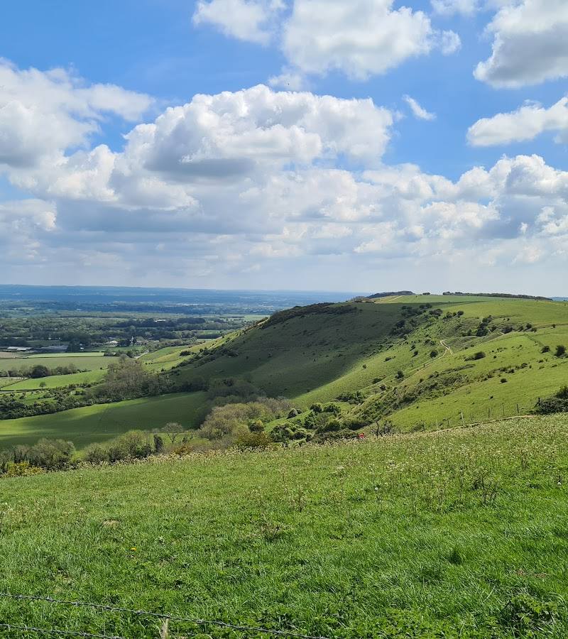
Keep exploring
Around Ditchling Beacon
Within 50 km · approximate straight-line distances