Near Stonehenge, Salisbury, Wiltshire, SP4 8NU
Cursus Barrows
Prehistoric
Place photograph
5.7
Wildland
1–2 hours
Time
Check
Cost
Atmospheric
Feel
Why it's Wildland
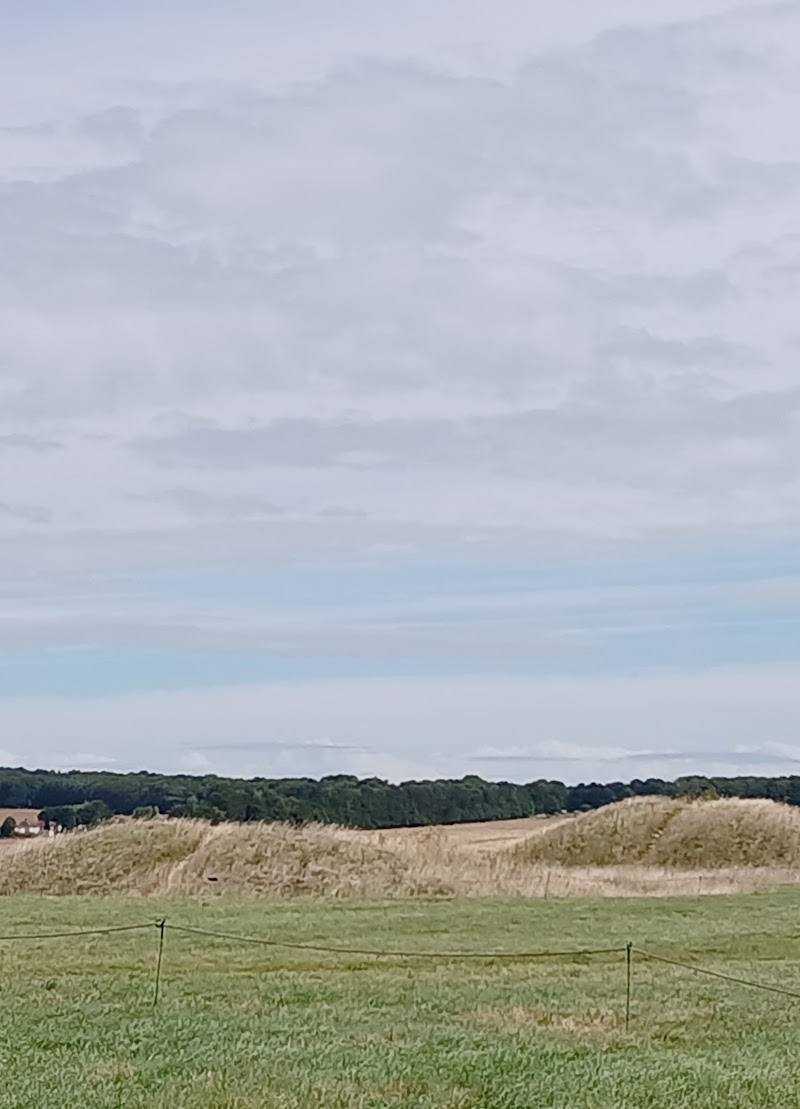
5.7A line of burial mounds follows a ridge beside the western end of the Stonehenge Cursus. Seen from the path, the barrows make the surrounding landscape feel less like a backdrop to Stonehenge and more like an ancient cemetery in its own right.
This is a chance to look beyond Stonehenge’s famous stones and read the wider prehistoric landscape. A ridge-top group of Bronze Age burial mounds, including the prominent bell barrow known as the Monarch of the Plain, gives the walk a tangible sense of the many generations who shaped this chalk landscape.
Atmospheric · Ancient-feeling · Big-sky
Find your way
Open mapNear Stonehenge, Salisbury, Wiltshire, SP4 8NU
Opening map…
Know this place a little better?
The experience
A short archaeological landscape walk focused on the Cursus Barrows and their setting beside the Stonehenge Cursus. The supplied trail listing describes a 3.3-mile out-and-back route taking about 1–1.5 hours; check the route and access arrangements before visiting.
Things to do
Trace the barrow line along the ridge
Notice the arrangement of burial mounds along the ridge and how they relate to the western end of the Great Cursus.
Allow time within the walk
Pick out the Monarch of the Plain
Look for the large bell barrow identified by this name in accounts of the Cursus Barrows group.
Compare the different mound shapes
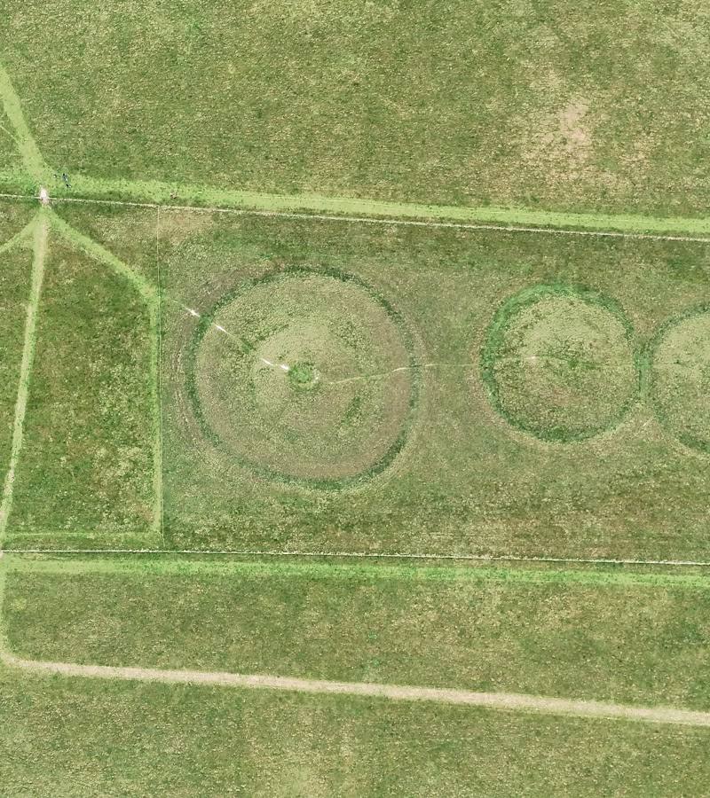
The group includes bowl and bell barrows; some mounds are no longer visible. Compare the surviving profiles rather than assuming every mound is alike.
Make a day of it
Quick escape · About 1–1.5 hours for the described 3.3-mile out-and-back trail
Quick escape: follow the barrow ridge
- 01
Check current access and route details before setting out; do not use the main-place pin as an entrance or parking point.
- 02
Follow the described walking route towards the Cursus Barrows, taking time to view the mounds along the ridge.
- 03
Look for the prominent bell barrow known as the Monarch of the Plain and notice how the group sits beside the western end of the Great Cursus.
- 04
Return by the same route.
Verified history
The Cursus Barrows are a cemetery of prehistoric burial mounds extending along a ridge beside the western end of the Stonehenge Cursus. A detailed account describes the group as a roughly 1,200-metre linear arrangement of largely bowl and bell barrows, including the Fargo hengiform enclosure and the large bell barrow called the Monarch of the Plain. William Stukeley excavated two barrows in 1723; Richard Colt Hoare examined barrows here in the early nineteenth century. Excavations recorded burials and cremations, including finds associated with Beaker and Collared Urn pottery.
Hidden details
A cemetery beside the Cursus — The barrows are not simply a scattering of isolated mounds: the group follows the ridge beside the western end of the Great Cursus. Some mounds are no longer visible, so the archaeological grouping is larger than the surviving forms suggest.
The Monarch of the Plain — One of the group’s large bell barrows is known as the Monarch of the Plain; look for it among the ridge-top mounds.
When to go
April · May · June · July · August · September · A clear morning or afternoon, when the open landscape is easier to appreciate; avoid assuming shelter or shade is available.
The route crosses open ground with little shade, so settled weather is more comfortable. No specific seasonal wildlife or flowering interest is verified for this site.
The route is exposed and has no shade according to the supplied trail description. Check the forecast and wear suitable footwear; conditions and access may change.
The route
- ascent
- 144 ft
- surface
- Mostly paved, with grass and rocky sections
- distance
- 3.3 miles
- duration
- 1–1.5 hours estimated
- difficulty
- Easy (as described by the trail source)
- route shape
- Out and back
- start point
- The supplied trail listing describes a Stonehenge and Cursus Barrows route; confirm the current start point before setting out.
- parking start
- Not verified. The supplied Google Maps pin is a main-place pin, not a parking or entrance pin.
- Cursus Barrows along the ridge
- The wider Stonehenge landscape
- Views described along the route
Worth pairing with
Stonehenge
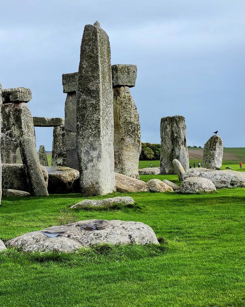
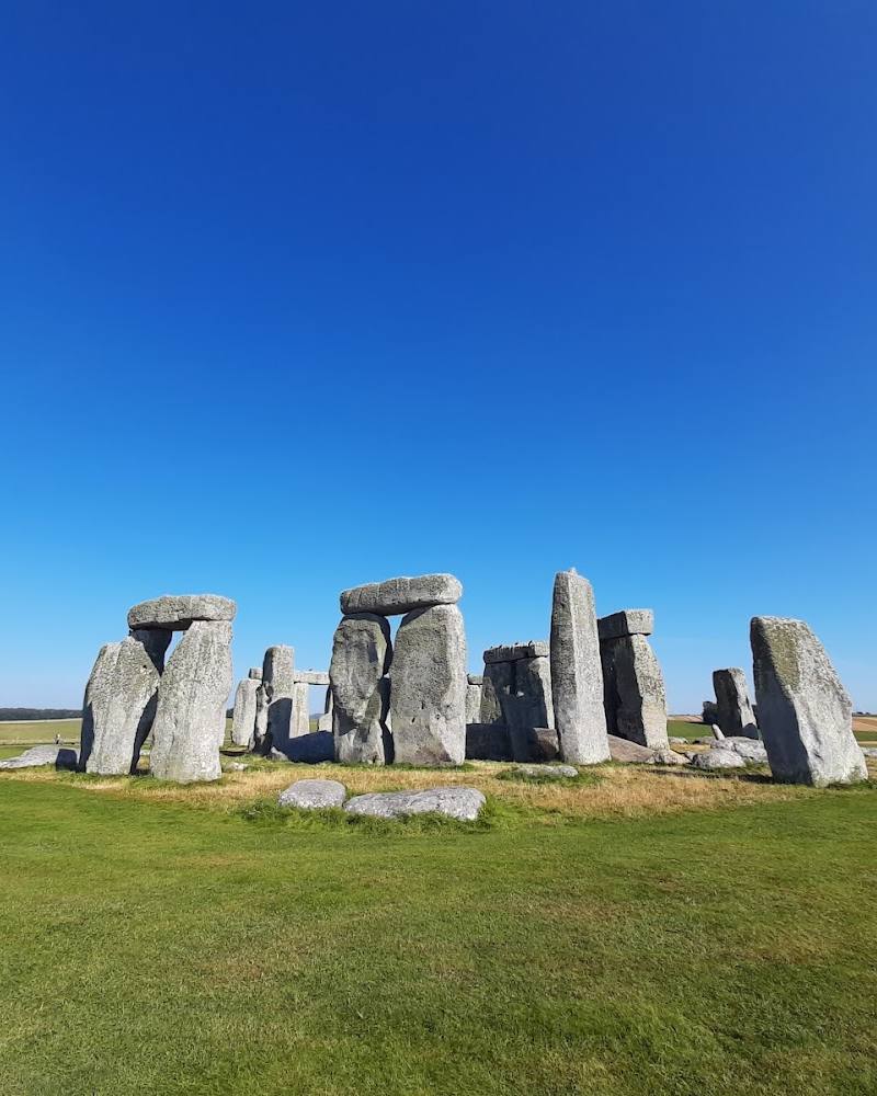
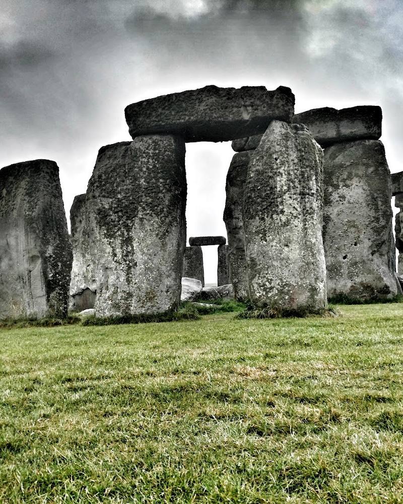
The supplied route description combines the barrows with a walk to and around Stonehenge. Stonehenge admission is fee-paying; check current ticket and access arrangements before planning a combined visit.
What to look for
Look for the barrows’ different profiles along the ridge, the large bell barrow known as the Monarch of the Plain, and the relationship between the burial mounds and the western end of the Great Cursus. Some mounds are no longer visible.
The story
Archaeology
Best time to go
Spring to autumn for a more comfortable walk; the open ridge can be exposed in poor weather.
Choose a clear, settled day for the open ridge and views across the landscape. There is little shade, so prepare for sun, wind or rain.
How long to spend
1–2 hours
Perfect for
History lovers · Walkers · Photographers
Before you go
Address
Listed hours
- Monday: Open 24 hours
- Tuesday: Open 24 hours
- Wednesday: Open 24 hours
- Thursday: Open 24 hours
- Friday: Open 24 hours
- Saturday: Open 24 hours
- Sunday: Open 24 hours
Check before visiting.
Google rating
Practical information
Opening & access
The barrows are described as visible from a walking route between the Stonehenge Visitor Centre and Stonehenge. The supplied map pin is a place pin, not an entrance or parking location. Check current path access and route details before visiting; Stonehenge itself requires a fee. Access arrangements are unconfirmed. Check before visiting; do not enter private land or restricted structures.
Check before visiting
Parking
No parking information verified. Check before visiting; the supplied pin is not a parking location.
Check before visiting
Toilets
Check before visiting.
Check before visiting
Food & drink
Check before visiting.
Check before visiting
Dogs
Check before visiting. A route summary reports limited dog access in the Stonehenge area; confirm the rules for the route you plan to use.
Check before visiting
Accessibility
The described route is largely paved, with some grass and rocky sections, and has no shade. Wheelchair and pushchair suitability is not verified; check current route conditions before setting out.
Check before visiting
Cost
Check before visiting
Check before visiting
Gallery
Place photographs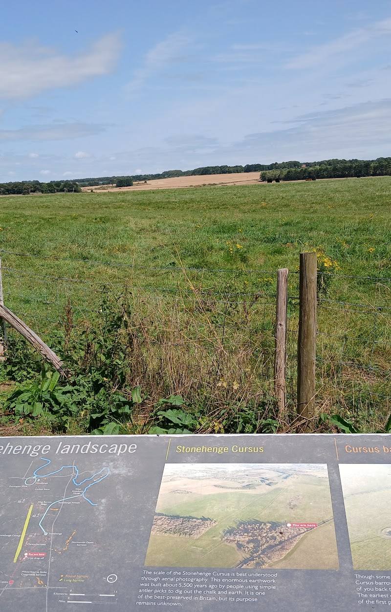
Keep exploring
Around Cursus Barrows
Within 50 km · approximate straight-line distances