Moray Coast, near Forres, Moray, Scotland
Culbin Forest
Forest recreation landscape
Place photograph
7.8
Wildland
1–2 hours to half day
Time
Check
Cost
Wild
Feel
Why it's Wildland
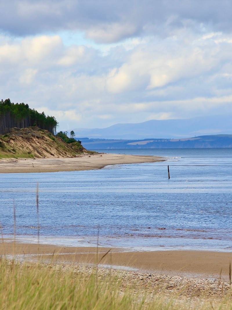
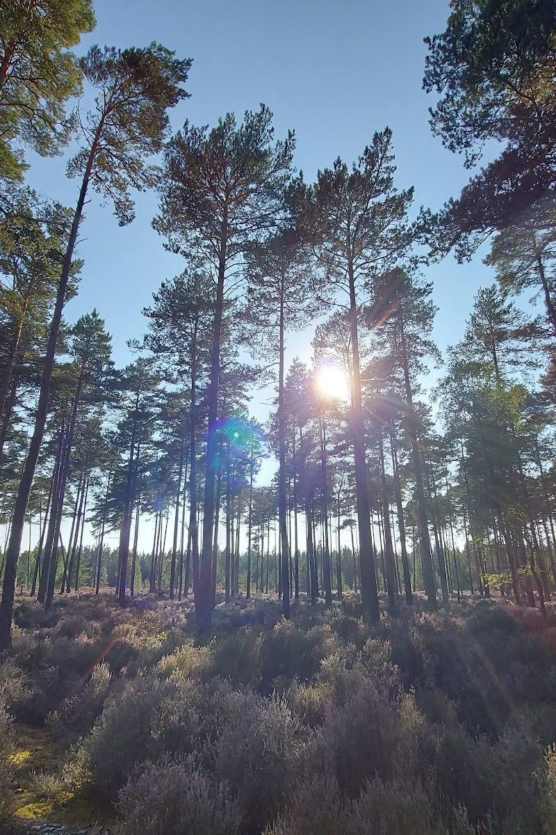
7.8Culbin’s coastal forest was planted in the 1920s to help hold back shifting sands. Today its tracks cross a striking mix of trees, dunes, ponds, saltmarsh and mudflats; local legend says a village lies buried beneath the sand.
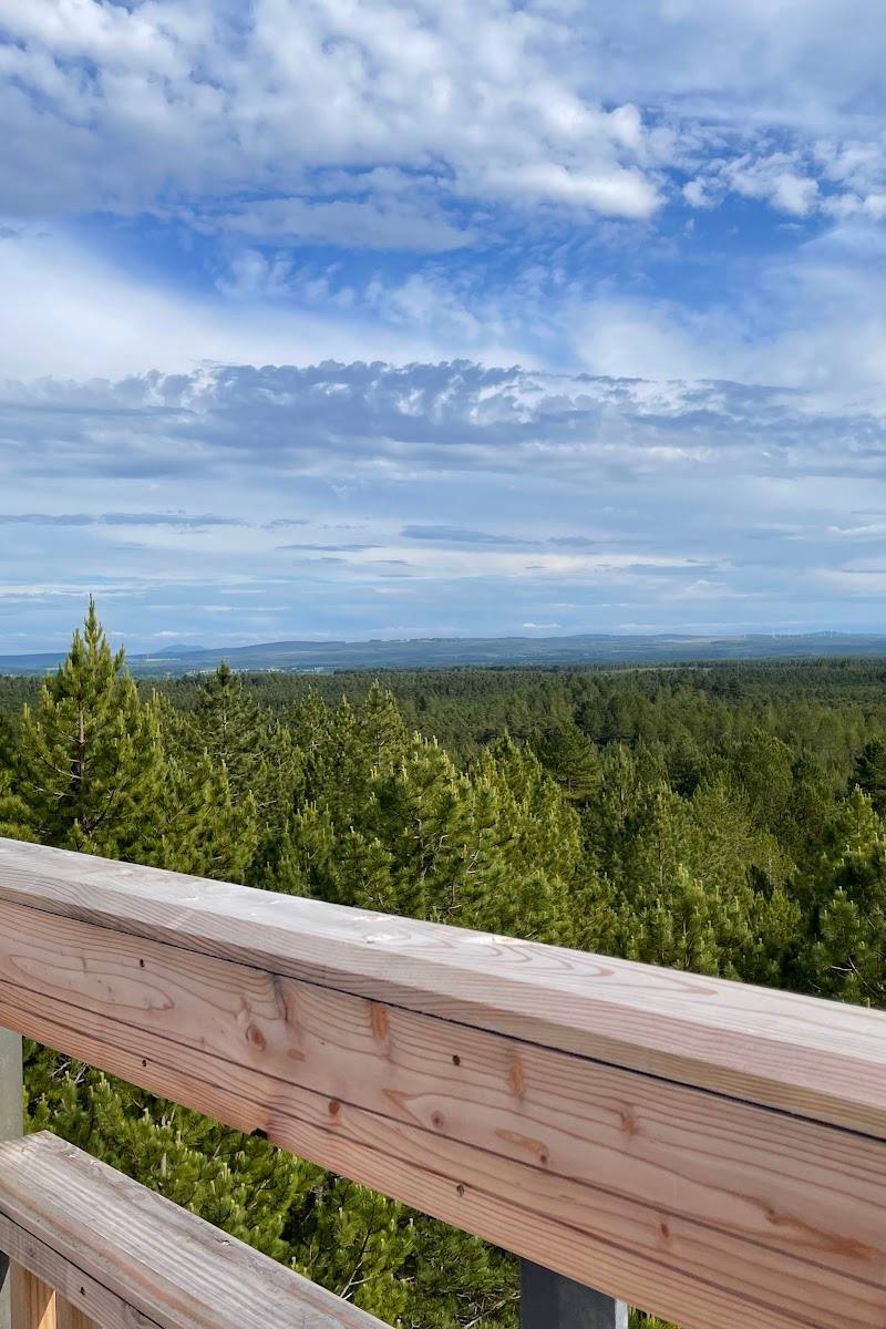
This is more than a forest walk: a vast coastal landscape shaped by moving sand, with waymarked tracks, ponds, bird-rich margins and the Hill 99 viewpoint tower. Its scale and shifting habitats make it feel like a proper expedition rather than a quick stroll through the trees.
Wild · Big-sky · Peaceful · Secluded
Find your way
Open mapMoray Coast, near Forres, Moray, Scotland
Opening map…
Know this place a little better?
The experience
Explore a coastal forest whose story is written in the landscape: planted over shifting dunes, threaded with tracks and opening onto ponds and bird-rich wetland margins. Use a waymarked route such as Hill 99, or plan carefully with a map at the numbered junctions.
Things to do
Follow a waymarked route towards Hill 99
Explore the forest tracks on foot and make Hill 99, a wooden viewpoint tower, the focal point of the outing. Check the route and current conditions before starting.
Check route length before visiting
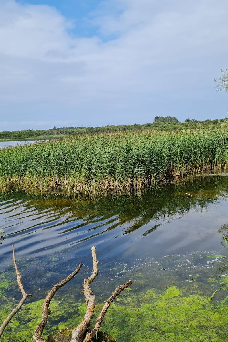
Walk to the Gravelpit Ponds
Visit Forres describes the ponds as an easy walk from Wellside car park. Confirm the current access point and conditions before setting out.
Watch for birds at the coastal margins
The source describes saltmarsh and mudflats as important feeding grounds for wading birds throughout the year. Observe quietly and give nesting birds and seals space.
Explore the forest by bicycle
Culbin’s tracks are described as suitable for cycling. Choose a route using a map and check surfaces and conditions before setting out.
Make a day of it
Quick escape · 1–2 hours; check route length and conditions before setting out
Hill 99 and the coastal forest
- 01
Choose a suitable access point and check current parking and route information.
- 02
Follow a waymarked route such as Hill 99, using a map at numbered junctions if you make your own way.
- 03
Climb the Hill 99 viewpoint tower and take in the views described by Visit Forres.
- 04
Return by your chosen route, keeping a respectful distance from wildlife.
Half day · Half day; route length depends on chosen tracks
Forest tracks, ponds and wetland edges
- 01
Start from a suitable listed car park, checking current access first.
- 02
Explore forest tracks on foot or by bicycle; use a waymarked route or map rather than assuming every junction is obvious.
- 03
Include the Gravelpit Ponds, described as an easy walk from Wellside car park, and look out for Dragonfly Pond if your route takes you there.
- 04
If visiting coastal or wetland margins, pause quietly and keep your distance from nesting birds and seals.
Verified history
Visit Forres says the forest was planted in the 1920s over a dune system where sands had previously drifted unhindered, with planting intended to help stop the shifting sands. The supplied source does not provide further historical detail or a more precise date.
Folklore & legend
Local legend says a village was buried by storms beneath the shifting sands. Treat this as folklore; the supplied source does not verify the story as historical fact.
Hidden details
The buried-village legend — Visit Forres recounts a local legend that storms buried a village beneath the sands. It is a story attached to the shifting dune landscape, not verified history in the supplied evidence.
Numbered track junctions — Many junctions are numbered, which can help visitors orient themselves when making their own way. Bring and use a map rather than relying on memory alone.
When to go
· No specific time of day is established by the supplied sources. Check conditions and plan to allow time for the route you choose.
The supplied source describes the coastal saltmarsh and mudflats as feeding grounds for wading birds throughout the year. It does not identify a peak season for particular wildlife or forest colour.
Check local conditions before visiting. The source notes muddy habitat at The Gut; suitable footwear and a map are sensible precautions, but current ground conditions are not verified.
Worth pairing with
Findhorn Bay
Visit Forres identifies Findhorn Bay as a local nature reserve and a place to look for birds and seals. Keep a respectful distance from wildlife.
What to look for
- 01
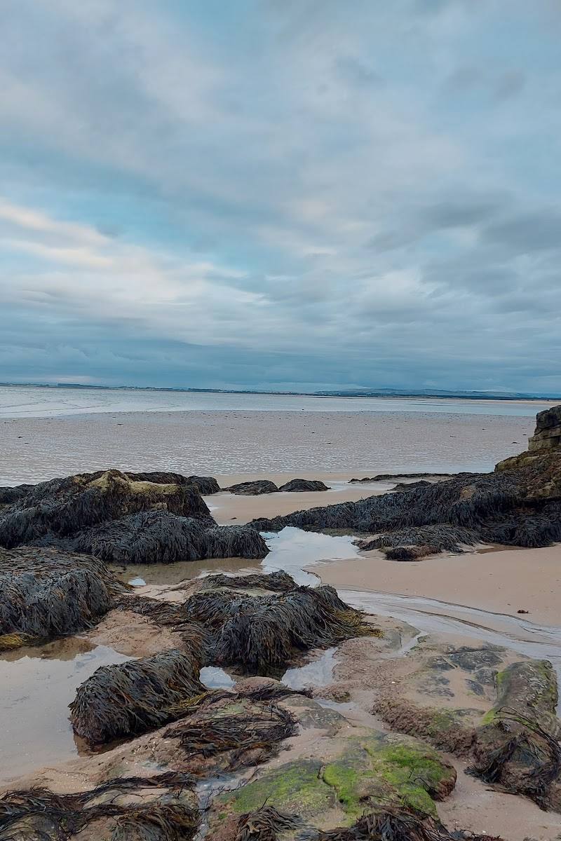
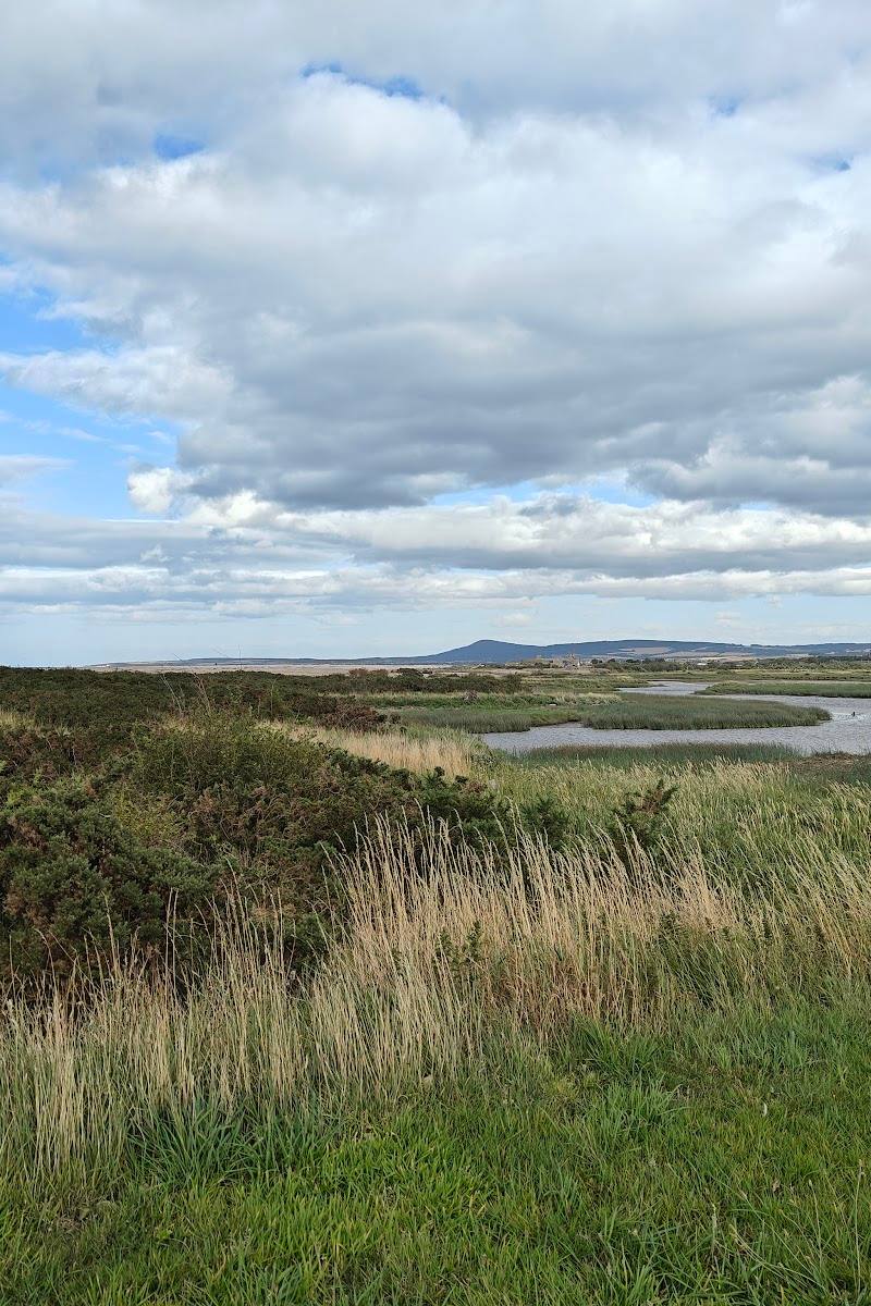
Look for the contrast between forest tracks and open dune, saltmarsh and mudflat landscapes
- 02
seek out the named Gravelpit Ponds, Dragonfly Pond and Hill 99 viewpoint. The buried-village story is local legend, not verified history.
The story
Coastal sand stabilisation and the forest planted over a dune landscape in the 1920s; local legend concerns a buried village.
Best time to go
Year-round; the source describes wading birds feeding at the coastal margins throughout the year. Check conditions before visiting, especially around muddy areas.
The supplied source says the coastal mudflats and saltmarsh are important feeding grounds for wading birds throughout the year. Allow time to pause quietly at the margins and give birds and seals space.
How long to spend
1–2 hours to half day; longer exploration possible
Perfect for
Walkers · Cyclists · Wildlife lovers · Photographers · Dogs
Before you go
Google rating
Practical information
Opening & access
A network of forest tracks is described as suitable for walking and cycling, including waymarked routes such as Hill 99. Visit Forres lists car parks at Wellhill, Cloddymoss and Kingsteps. Check current access and parking conditions before setting out.
Check before visiting
Parking
Visit Forres lists car parks at Wellhill, Cloddymoss near Kintessack, and Kingsteps near Nairn. Check current parking availability before visiting.
Check before visiting
Toilets
Check before visiting
Check before visiting
Food & drink
Check before visiting
Check before visiting
Dogs
Check before visiting; follow current signage and keep dogs under control around wildlife.
Check before visiting
Accessibility
Tracks are available, but the supplied sources do not establish step-free access or suitability for particular mobility needs. Check route and surface conditions before visiting.
Check before visiting
Cost
Check before visiting
Check before visiting
Water
Ponds, saltmarsh, mudflats and coastal waters are described in the supplied source. No water activity permission is evidenced.
Gallery
Place photographs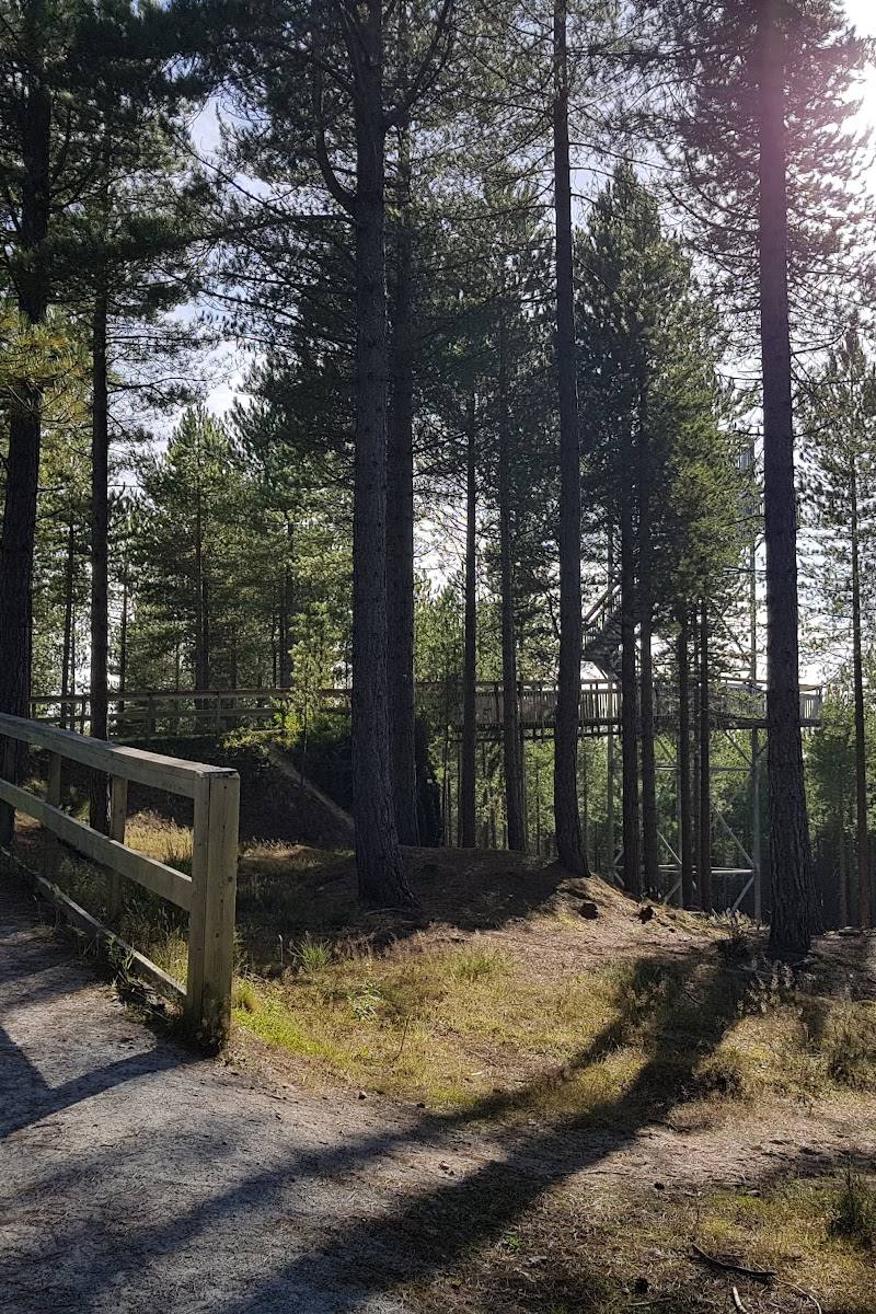
Keep exploring
Around Culbin Forest
Within 50 km · approximate straight-line distances