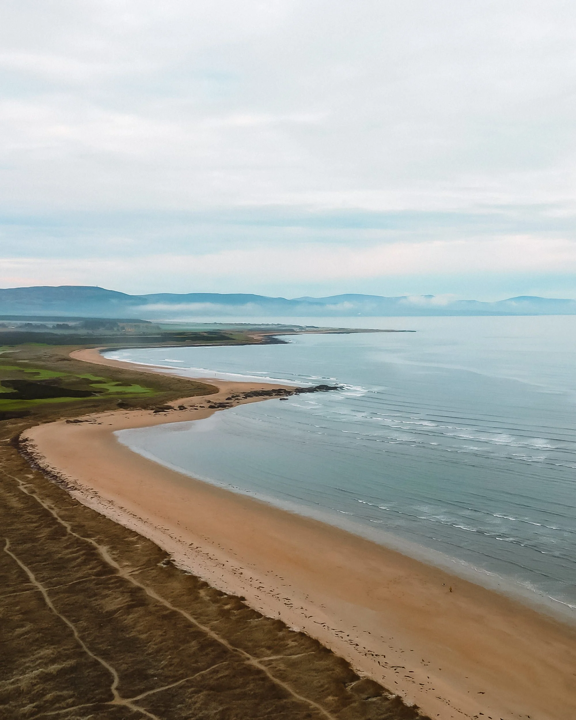
Darnaway Forest, near Conicavel, Moray, Scotland
Dunearn Burn & Findhorn Gorge Walk
route · Woodland walk
Place photograph
7.2
Wildland
1–2 hours
Time
Check
Cost
Wild
Feel
Why it's Wildland
7.2A short forest circuit with an unexpectedly adventurous edge: the path descends past Dunearn Burn and follows the steep-sided River Findhorn gorge, with views down to its swirling water.
This is more than a routine forest stroll: a narrow, sometimes muddy path tracks the edge of a dramatic gorge, bringing the Findhorn unusually close. The combination of burn, woodland and steep river drops makes a compact walk feel properly wild.
Wild · Atmospheric · Secluded
Find your way
Open mapDarnaway Forest, near Conicavel, Moray, Scotland
Opening map…
The experience
Allow about 1–1.5 hours for the roughly 4 km circular walk. Expect forest paths, some mud and narrow sections beside steep drops; the gorge is the defining feature. Take care throughout and check conditions before setting out.
Things to do
Follow the circular gorge route
Walk the circuit from the Dunearn Burn car park, through the forest and along the western side of the River Findhorn gorge before returning on forest tracks.
About 1–1.5 hours
Pause at the Findhorn gorge viewpoints
The route has viewing areas above the gorge, with views towards the Dunearn Burn and the River Findhorn. Some views can be obscured by summer foliage, and one viewpoint is reported as overgrown.
Notice the named river pools
The circuit passes Pool Anchor, Mill Pool and Scuddach Pool. The route guide describes access steps descending towards deep pools; stay on the path and take care around the gorge.
Make a day of it
Quick escape · About 1–1.5 hours
Quick gorge circuit
- 01
Start at the Dunearn Burn car park, off the minor road south of Conicavel.
- 02
Follow the circuit through the forest towards Dunearn Burn, then continue to the Findhorn gorge and its river viewpoints.
- 03
Return by the forest tracks. Take particular care on narrow sections beside steep drops and at the burn crossing.
Hidden details
A burn crossing without a bridge — A tributary crossing near the start is described as having no bridge in 2024; the walk guide says the crossing is over stones and can be affected by wet conditions. Check current conditions rather than assuming it is straightforward.
The path’s steep gorge-side sections — Parts of the narrow path run close to vertical or steep drops above the Findhorn. This is a defining feature of the walk, but calls for care rather than a detour towards the edge.
When to go
April · May · June · September · October · No specific time of day is established by the supplied sources; check conditions and allow time to walk cautiously.
The route guide notes good autumn colour. The forest canopy can obscure gorge views in midsummer, while wet ground and slippery leaves can make sections more difficult in winter.
Paths can be wet and muddy; leaves may make sections slippery in winter. A burn crossing may be affected by wet conditions. The gorge-side path has steep drops, so take extra care in poor weather.
The route
- ascent
- 130 m
- stiles
- Not specified; route sources describe some barriers, a narrow footbridge and wooden walkways with small sets of steps.
- surface
- Forest earth, aggregate and vehicle tracks; muddy sections, a rougher path section and a burn crossing on stones are described.
- distance
- 4 km (about 2.5 miles); another route source gives 3.8 km / 2.25 miles
- duration
- About 1–1.5 hours
- difficulty
- Easy by route grading, but the narrow gorge-side paths, steep drops, steps and rough sections require care.
- waymarking
- Fully signed according to Moray Ways; partly waymarked in red according to the route guide. Follow current signs and directions.
- route shape
- Circular; clockwise direction described by one route guide
- start point
- Dunearn Burn car park, off the minor road south of Conicavel; grid reference NH 996513/514 in supplied route sources.
- parking start
- A car park is identified at the start by route sources. No public transport to the start is reported by Walkhighlands; check current parking arrangements.
- shorter alternative
- Moray Ways describes a green-marked shortcut returning towards the start; confirm its current condition and route signage before relying on it.
- Dunearn Burn
- The steep-sided River Findhorn gorge
- Gorge-side viewpoints
- Pool Anchor, Mill Pool and Scuddach Pool
- Forest tracks on the return
What to look for
Look for the change from the small Dunearn Burn to the larger Findhorn gorge, and for the river views from the route’s viewing areas. The walk guide names Pool Anchor, Mill Pool and Scuddach Pool along the circuit.
Best time to go
Spring to autumn; autumn colour is noted as a particular draw. The route can be wet and slippery, especially in winter.
Autumn is noted for forest colour. In midsummer, thick canopy can obscure views into the gorge; paths may be wet and muddy at any time, and winter leaves can make sections slippery.
How long to spend
1–2 hours
Perfect for
Walkers · Photographers · Wildlife lovers
Route at a glance
Duration
1–2 hours
Terrain
Woodland, Riverside
Parking / start
Walkhighlands and the route guide identify a car park at the start, off the minor road south of Conicavel. Confirm current arrangements before travelling.
Practical information
Opening & access
A circular forest walk from the Dunearn Burn car park. The route passes close to steep drops above the River Findhorn gorge; take care, particularly on the narrow path. Check current route conditions before setting out.
Check before visiting
Parking
Walkhighlands and the route guide identify a car park at the start, off the minor road south of Conicavel. Confirm current arrangements before travelling.
Toilets
Check before visiting
Check before visiting
Food & drink
Check before visiting
Check before visiting
Dogs
Check before visiting
Check before visiting
Accessibility
Not suitable for everyone with limited mobility: narrow paths, steep drops, steps, a narrow footbridge or wooden walkways, and a rough burn crossing are described. Terrain may be difficult for less able visitors.
Cost
Check before visiting
Check before visiting
Water
Burn and river
Gallery
Place photographsKeep exploring
Around Dunearn Burn & Findhorn Gorge Walk
Within 50 km · approximate straight-line distances