Near Yateley
Castle Bottom National Nature Reserve
Mixed-habitat reserve
Place photograph
6.8
Wildland
Check before visiting
Time
Check
Cost
Wild
Feel
Why it's Wildland
6.8A small reserve built around two valley mires, with acidic streams, seepage-fed wet ground and heathland on the slopes. Hampshire County Council also identifies a possible Bronze Age burial mound—and says there is no evidence of a castle here, despite the name.
Castle Bottom earns its place through a rare combination of valley mire and heathland, not a castle ruin. The reserve’s shifting ground, acidic streams and grazing Exmoor ponies give a short visit a clear ecological story; stay on the permissive paths to protect the habitats.
Wild · Peaceful
Find your way
Open mapNear Yateley
Opening map…
Know this place a little better?
The experience
Follow the reserve’s permissive footpaths to see the transition from wet valley mire to drier heathland slopes. Keep to the paths to avoid disturbing the habitats and associated species. Check current access and practical details before setting out.
Things to do
Notice the valley mires
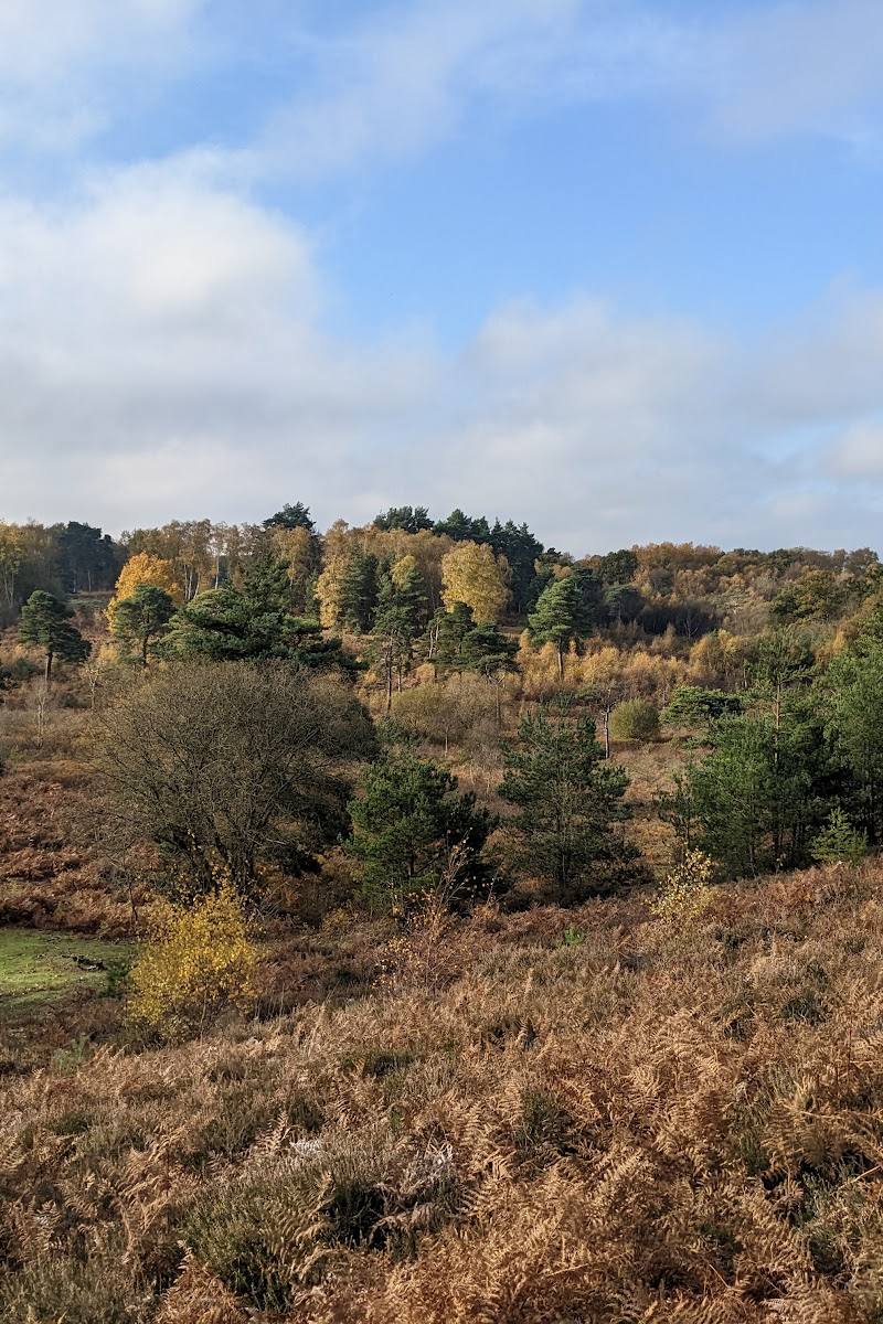
The reserve contains two valley mire complexes, each with a small acidic stream running through its centre. Follow the permitted paths and look for the change between wet ground and the drier slopes.
Look for heathland changes across the slopes
Hampshire County Council describes Ling-dominated heath with scattered birch and pine scrub above the seepage steps, changing to cross-leaved heath on the lower slopes.
Look for the possible Bronze Age burial mound
The reserve contains a mound thought to date from the Bronze Age, approximately 1800–550 BC. The council says it may indicate that the area was once open heathland; the identification is presented as a belief, not a certainty.
Watch for the grazing Exmoor ponies
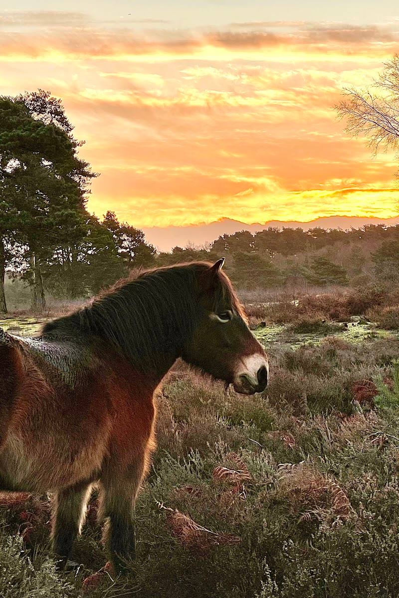
A herd of six Exmoor ponies is described as roaming the heathland and mire. Their grazing helps manage invasive grasses, birch and bracken and creates bare ground.
Make a day of it
Quick escape · Check before visiting
Follow the mire and heathland paths
- 01
Use the reserve’s permissive footpaths; they connect with footpaths and bridleways outside the reserve.
- 02
Notice the transition from the valley mires and their acidic streams to heathland on the drier slopes.
- 03
Keep to the paths to avoid disturbing habitats and associated species.
Verified history
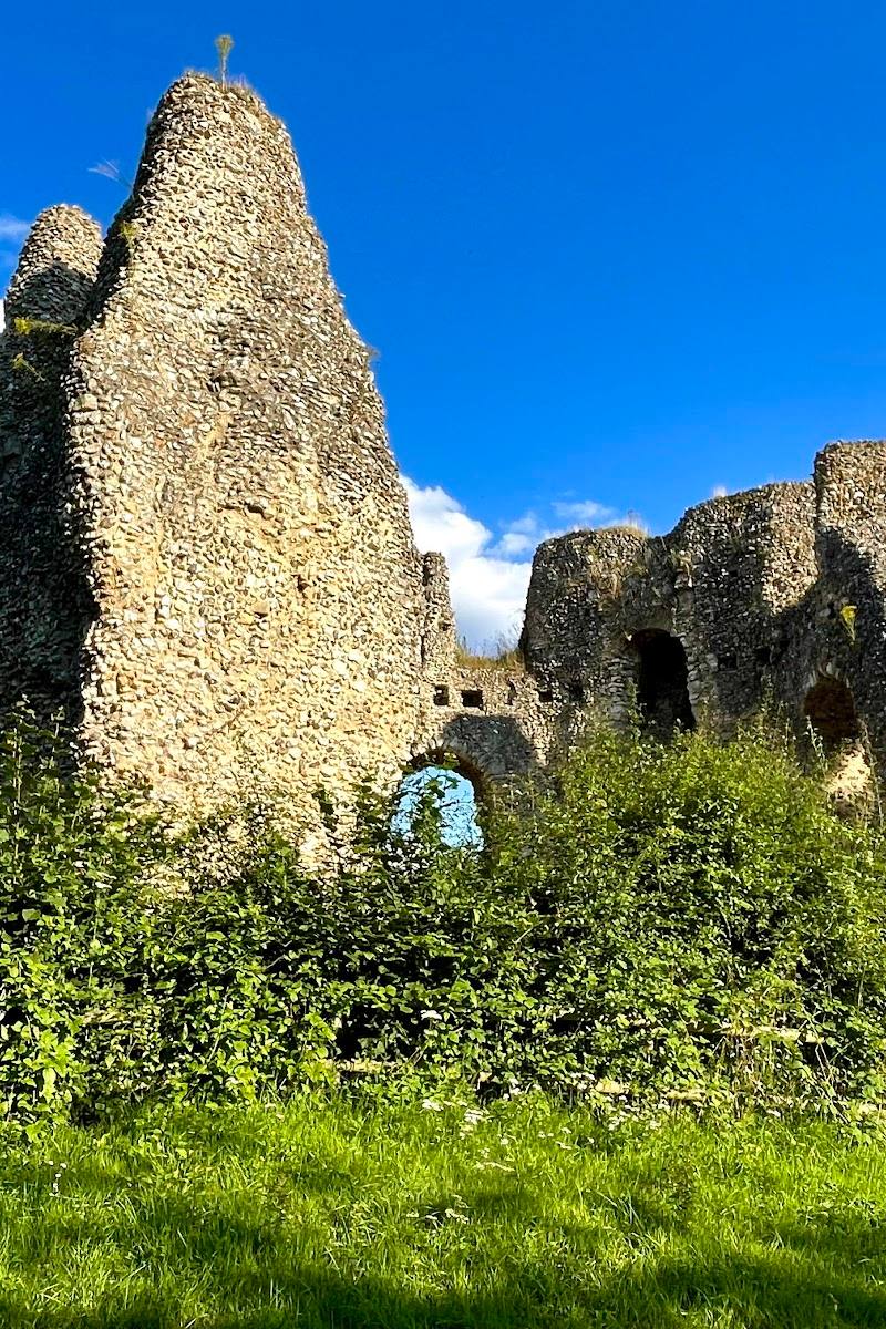
Hampshire County Council says Castle Bottom contains a mound thought to be a Bronze Age burial mound, dating to about 1800–550 BC, and notes a second tumulus south of the reserve. The council suggests these burials indicate that the area was open heathland at the time. It explicitly states that there is no evidence of a castle on or near Castle Bottom.
Hidden details
The name does not point to a castle — Despite the name, Hampshire County Council says there is no evidence of a castle on or near Castle Bottom.
Seepage steps feed the mires — Water seeping from gravel beds at seepage steps feeds the valley mires. The council describes different heath communities above and below these steps.
When to go
· Not specified in the supplied evidence; check current conditions before visiting.
No seasonal peak or month-specific wildlife advice is stated in the supplied evidence.
Path conditions and weather-related access advice are not provided in the supplied evidence. Check before visiting.
What to look for
- 01
Look for the contrast between the two valley mires and the Ling-dominated heath on the drier slopes. The official site also describes acidic streams, seepage steps, scattered birch and pine scrub, and cross-leaved heath on lower slopes. A mound is thought to be a Bronze Age burial mound
- 02
its identification is not certain.
The story
Possible Bronze Age burial mound; the reserve’s heathland landscape has evidence of prehistoric open-country use.
Best time to go
Check with Hampshire County Council for current seasonal advice; no specific best season is stated in the supplied evidence.
No best time of day is specified in the supplied evidence. Check current conditions and access with Hampshire County Council before visiting.
How long to spend
Check before visiting
Perfect for
Walkers · Wildlife lovers · Photographers
Before you go
Address
Phone
Website
Listed hours
- Monday: Open 24 hours
- Tuesday: Open 24 hours
- Wednesday: Open 24 hours
- Thursday: Open 24 hours
- Friday: Open 24 hours
- Saturday: Open 24 hours
- Sunday: Open 24 hours
Check before visiting.
Google rating
Practical information
Opening & access
Hampshire County Council says visitors can use permissive footpaths through the reserve, which connect with public footpaths and bridleways beyond its boundary. Keep to the paths to avoid disturbing habitats and wildlife. Check current access information before travelling.
Check before visiting
Parking
Check before visiting
Check before visiting
Toilets
Check before visiting
Check before visiting
Food & drink
Check before visiting
Check before visiting
Dogs
Check before visiting
Check before visiting
Accessibility
Hampshire County Council’s supplied accessibility information says the car park and entrance are not wheelchair accessible. Path surface and conditions are not specified; check before visiting.
Check before visiting
Cost
Check before visiting
Check before visiting
Water
Stream, Marsh
Gallery
Place photographs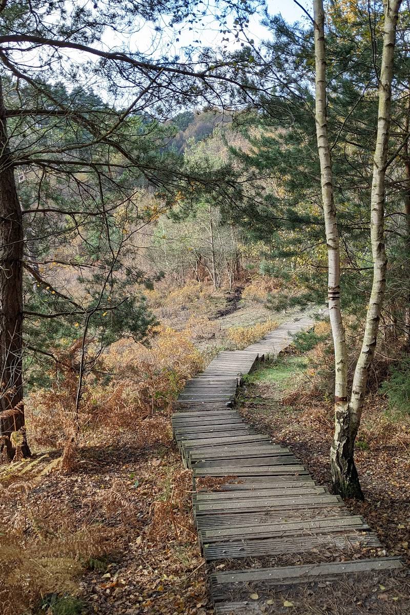
Keep exploring
Around Castle Bottom National Nature Reserve
Within 50 km · approximate straight-line distances