Bill Hill, Bracknell, Berkshire RG12 7AZ
Bill Hill Bronze Age Barrow
Prehistoric
Place photograph
5.4
Wildland
Under 1 hour
Time
Check
Cost
Peaceful
Feel
Why it's Wildland
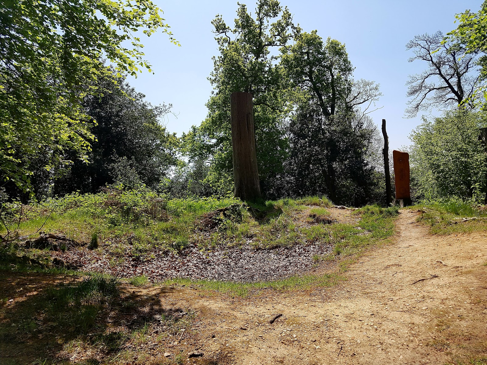
5.4On a wooded hill in Bracknell, a hollow-topped round barrow marks a prehistoric burial place. The mound is a Scheduled Monument; its hollow may be evidence of an early, unrecorded excavation.
Bill Hill is a modest urban nature walk with a substantial archaeological story: a protected prehistoric burial mound, old banks and woodland paths in a public open space. The barrow is subtle rather than monumental, so it rewards a slow visit and careful attention to the landscape.
Peaceful · Atmospheric · Ancient-feeling
Find your way
Open mapBill Hill, Bracknell, Berkshire RG12 7AZ
Opening map…
Know this place a little better?
The experience
Explore a public wooded hill and look for the round barrow on its eastern summit. This is a small-scale visit, best approached as a close look at a protected archaeological feature and its setting rather than a major monument with extensive visible remains.
Things to do
Look for the bowl barrow
Find the circular mound on the eastern side of the hilltop. Its hollowed centre may result from an early, unrecorded excavation, according to the council.
Part of a short visit
Trace the hill’s linear banks
Several banks are visible on the hill. The council says these are probably old field boundaries shown on an estate map dated 1757, though they may be older.
Part of a longer visit
Read the on-site interpretation
Look for information features at the entrances and near the barrow, which the council says explain the site’s archaeology, history and management.
A few minutes
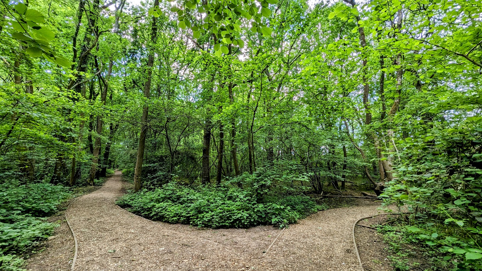
Explore the woodland paths
Walk the paths through the naturally wooded hillock. The council identifies the site as a public open space and wildlife haven, but the supplied source does not specify a measured circuit.
Make a day of it
Quick escape · Under 1 hour
Find the barrow
- 01
Enter from Rectory Lane, or use another council-listed access from Downshire Way or Dundas Close, off Saffron Road.
- 02
Follow the woodland paths uphill towards the summit.
- 03
Look on the eastern side of the hill for the circular mound and its hollowed centre.
- 04
Read the archaeological and site-management information near the barrow or entrances, where present.
Half day · Allow a longer visit; exact duration not established
Explore the hill’s archaeology and woodland
- 01
Approach via one of the council-listed entrances and explore the woodland paths.
- 02
Visit the round barrow on the eastern side of the summit.
- 03
Look for the linear banks on the hill and consider their possible connection with field boundaries shown on the 1757 estate map.
- 04
Return by a different site path only if it is open and clearly navigable; confirm route conditions on arrival.
Verified history
Bill Hill’s summit contains the remains of a Bronze Age round barrow, or tumulus. Bracknell Forest Council notes that round barrows were used as burial mounds from the Neolithic period through the Bronze Age and again in the Anglo-Saxon period; individual mounds could cover one or more burials and may also have been used for cremations. Bill Hill’s barrow has been a Scheduled Monument since 1951. Its hollowed centre may be the result of an early, unrecorded excavation. Several linear banks on the hill are probably old field boundaries shown on an estate map dated 1757, though they may be older.
Hidden details
The hollow in the mound — The barrow is hollowed in the centre. The council suggests this may be the result of an early excavation, but says it is unrecorded; the explanation is therefore a possibility, not a confirmed account.
Banks that may pre-date the 1757 map — Linear banks are visible on the hill and are probably old field boundaries shown on an estate map dated 1757. The council notes they may be older.
When to go
· No specific time of day is established by the supplied sources.
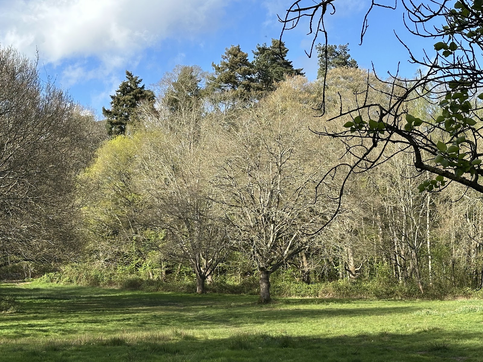
The council describes the hill as naturally wooded and provides an image captioned as bluebells in ancient woodland, but the supplied text does not give reliable flowering dates or seasonal access details.
No site-specific weather guidance is provided. Woodland paths may be uneven or muddy; check conditions before setting out.
What to look for
At the summit’s eastern side, look for the circular earth mound and its hollowed centre. Notice the linear banks on the hill, identified by the council as probably old field boundaries shown on an estate map dated 1757, though potentially older. Look for the site information features installed near the barrow and entrances.
The story
Archaeology
Best time to go
Spring for woodland flowers and fresh growth; autumn for changing leaf colour. Exact peak weeks are not established by the supplied sources.
Spring or autumn offers woodland seasonal interest. The supplied sources do not establish a more precise best time or flowering peak.
How long to spend
Under 1 hour; allow longer to explore the woodland paths
Perfect for
Walkers · History lovers · Families
Before you go
Address
Website
Listed hours
- Monday: Open 24 hours
- Tuesday: Open 24 hours
- Wednesday: Open 24 hours
- Thursday: Open 24 hours
- Friday: Open 24 hours
- Saturday: Open 24 hours
- Sunday: Open 24 hours
Check before visiting.
Google rating
Practical information
Opening & access
Bracknell Forest Council describes Bill Hill as a public open space. The main entrance is on Rectory Lane, with other access from Downshire Way and Dundas Close, off Saffron Road. The council says there is no car parking at the site; it identifies Crowthorne Road, near the Green Man pub, as the best place to park. Check current access and parking arrangements before travelling.
Check before visiting
Parking
No car parking at the site. The council identifies Crowthorne Road, north-east of the mound near the Green Man pub, as the best place to park. Check signs and restrictions before leaving a vehicle.
Check before visiting
Toilets
Check before visiting
Check before visiting
Food & drink
Check before visiting
Check before visiting
Dogs
Check before visiting; dog rules are not confirmed in the supplied evidence.
Check before visiting
Accessibility
The supplied council source does not confirm route accessibility. Google place information says the car park and entrance are not wheelchair accessible, but the council states there is no car park at the site. Check with the council before visiting if access requirements are important.
Check before visiting
Cost
Check before visiting
Check before visiting
Gallery
Place photographsKeep exploring
Around Bill Hill Bronze Age Barrow
Within 50 km · approximate straight-line distances