Jennett’s Park, Bracknell, Berkshire
Tarman’s Copse
Ancient woodland
Place photograph
6.6
Wildland
1–2 hours
Time
Check
Cost
Peaceful
Feel
Why it's Wildland
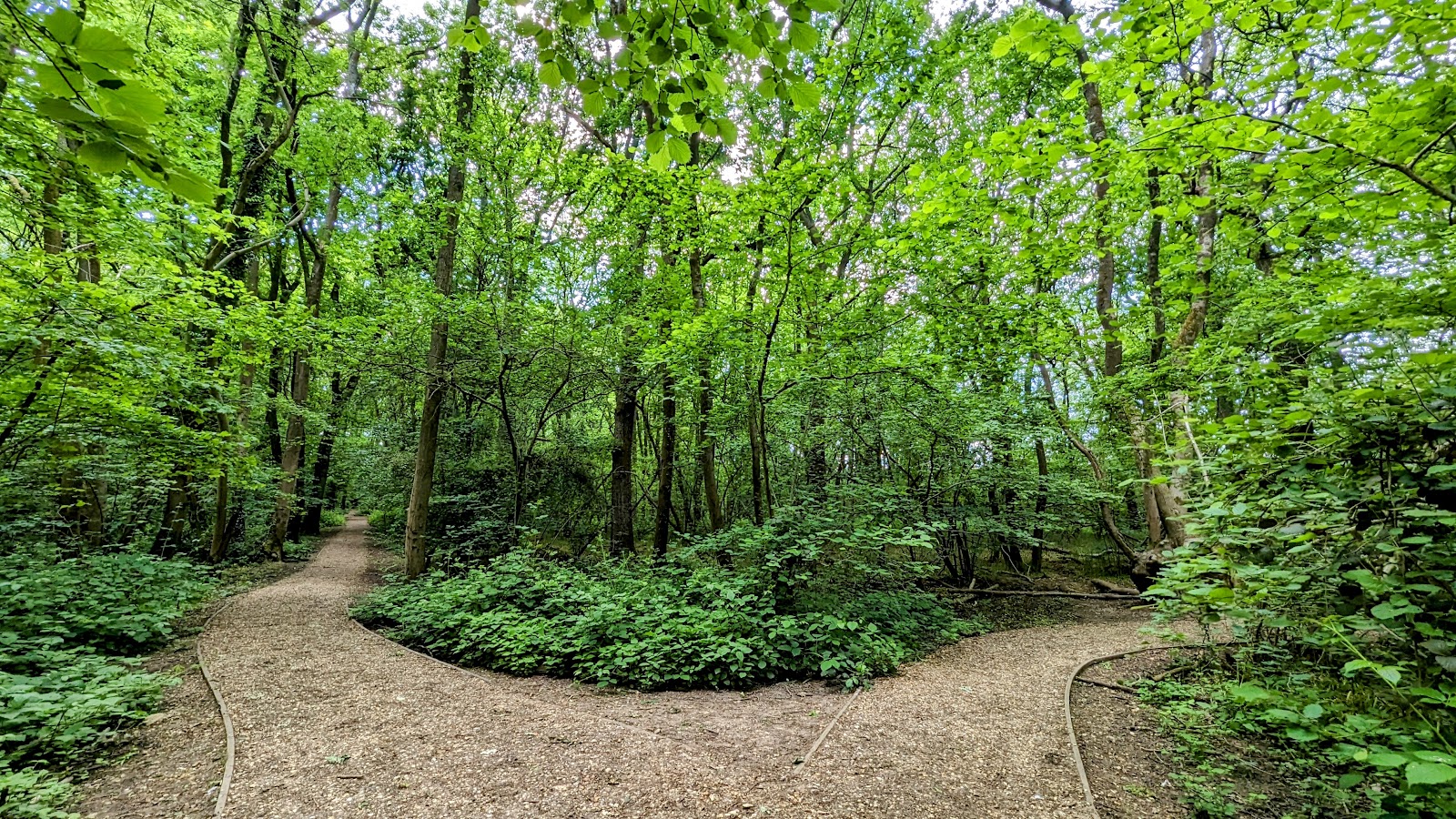
6.6A remnant of the ancient woodland that once covered this area, Tarman’s Copse has changed little in size or shape since the 1870s. Its paths include a medieval hollow way, while a carved Green Man trail brings a more recent layer of character.
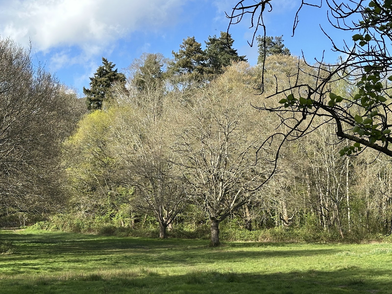
This is a small woodland with a surprisingly deep sense of time: veteran oaks and older sweet chestnuts stand among bluebells and wood anemones, beside a medieval sunken lane. Its setting within Jennett’s Park is not remote, but the surviving woodland and its tangible traces of earlier landscapes make it more than an ordinary neighbourhood green space.
Peaceful · Ancient-feeling
Find your way
Open mapJennett’s Park, Bracknell, Berkshire
Opening map…
Know this place a little better?
The experience
Allow around an hour for a short woodland visit, or combine the copse with the Jennett’s Park loop for a longer outing. Notice the veteran trees, spring woodland flowers and Green Man carvings; check route conditions after rain.
Things to do
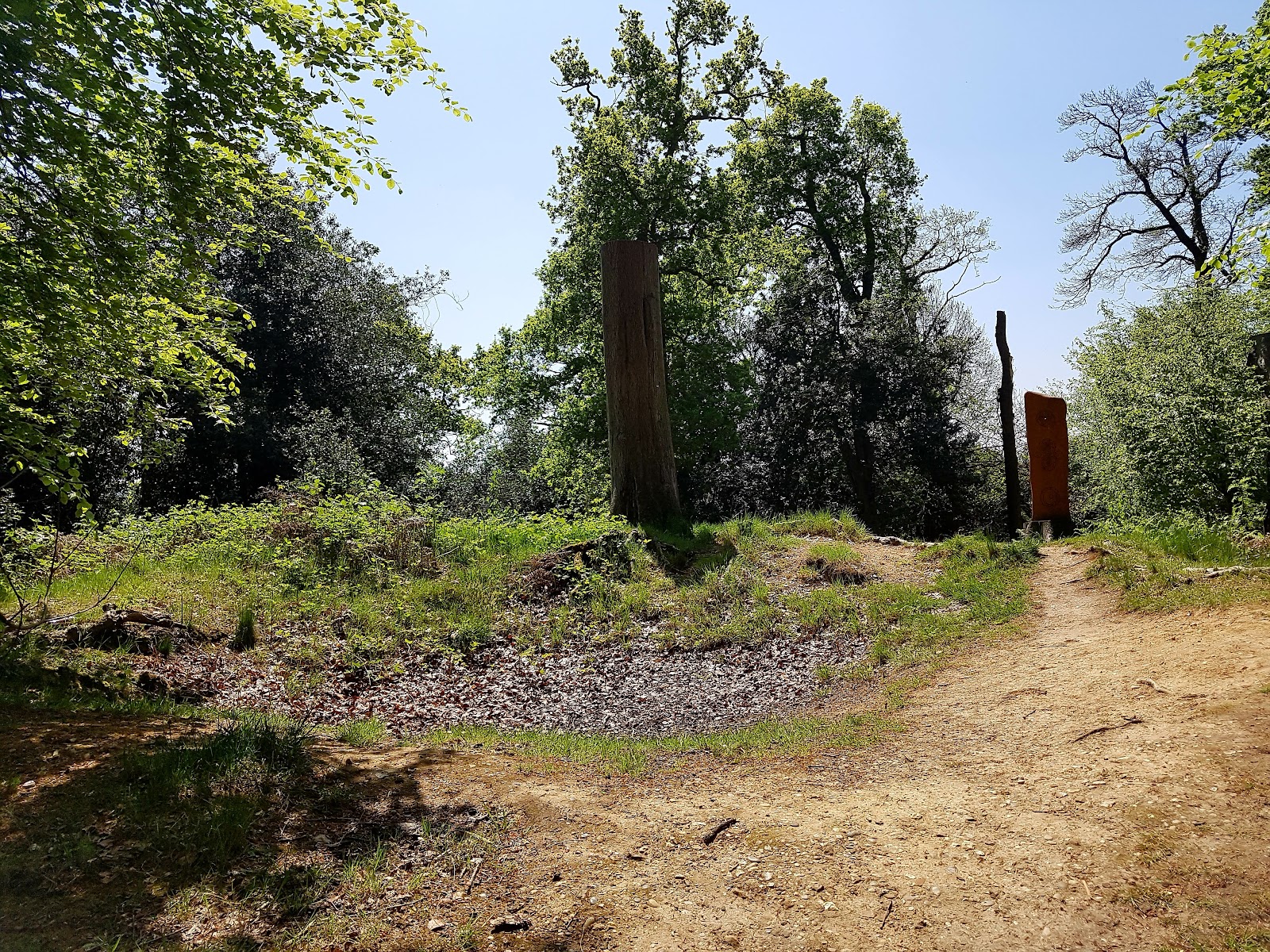
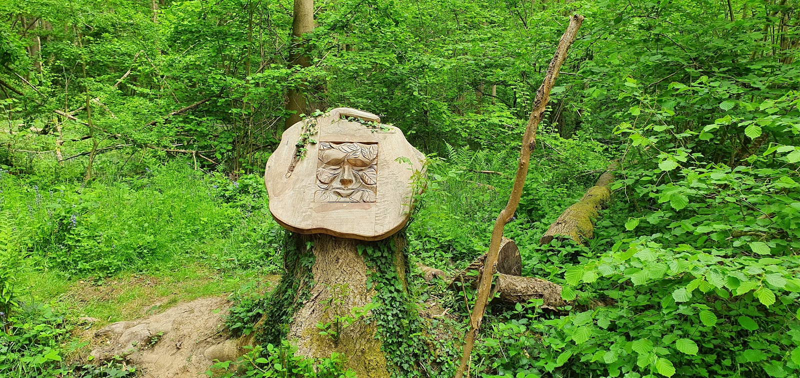
Follow the Green Man sculpture trail
Explore the woodland’s carved Green Man features. The council confirms that wood carvings form a sculpture trail through the copse.
Look for spring woodland flowers
The council identifies bluebells and wood anemone in the woodland ground layer; AllTrails also describes spring flowers along its Jennett’s Park loop.
Find the medieval hollow way
The public footpath alongside the copse is identified by the council as a medieval hollow way or sunken lane. It may have marked an estate boundary or been used for driving cattle.
Walk the Jennett’s Park loop
AllTrails describes a loop through Tarman’s Copse and nearby Peacock Meadows, with a medieval sunken lane and skylark sculptures among its features. Check the current route and conditions before setting out.
0.5–1 hour
Make a day of it
Quick escape · Around 30–60 minutes
Quick woodland escape
- 01
Enter the copse from a public footpath and follow the surfaced woodland paths.
- 02
Look out for Green Man carvings and older trees as you explore.
- 03
Return the way you came; check current access and route conditions before setting out.
Half day · About 0.5–1 hour for the Jennett’s Park loop; allow extra time for stops
Copse and medieval lane
- 01
Follow the Jennett’s Park loop, which AllTrails describes as passing through Tarman’s Copse and Peacock Meadows.
- 02
Look for the medieval sunken lane at Jennett’s Hill and the skylark sculptures in the meadows.
- 03
In spring, pause to look for bluebells and wood anemones in the copse.
- 04
Check the route and ground conditions before you go; AllTrails notes that paths can become muddy after rain.
Verified history
Tarman’s Copse is a 9.68-hectare remnant of ancient, semi-rural woodland. The council says it has been in continual use for over 400 years and has changed little in size or shape since the 1870s. Archaeological digs nearby found evidence of human activity dating to the Mesolithic era, with the first permanent roundhouse settlements identified as Middle Iron Age. The public footpath alongside the copse is a medieval hollow way; the council says such routes could mark estate boundaries or have been used to drive cattle. The area was within Windsor’s deer hunting forest and was originally part of the Easthampstead Park estate. A nearby 17th-century kiln may have been used to make lime for the first Easthampstead Park House.
Hidden details
A medieval road in a modern neighbourhood — The public footpath alongside the copse follows a medieval hollow way, a sunken lane that may have marked an estate boundary or been used for driving cattle.
Burnt House Ride — The council says the lane was colloquially called Burnt House Ride after a cottage beside the copse burned down. The route now forms part of the 26-mile Ramblers Route.
A woodland linked by wildlife corridors — Tarman’s Copse forms part of a network of woodland sites across Jennett’s Park connected by wildlife corridors. The surrounding buffer areas include planted fruit trees described by the council as an edible trail.
When to go
April · May · No sourced best time of day; check conditions and current council notices before visiting.
Spring is a good time to look for the bluebells and wood anemone identified by the council. Exact flowering dates are not given.
AllTrails reports that paths can become muddy after rain. Check conditions before setting out.
What to look for
Look for the medieval hollow way beside the copse, the Green Man carvings, older sweet chestnuts and veteran oaks. In spring, the council identifies bluebells and wood anemone in the woodland ground layer.
The story
Ancient woodland, medieval hollow way, Mesolithic activity and Middle Iron Age settlement evidence in the surrounding area.
Best time to go
Spring for bluebells and wood anemones; check local conditions for woodland management work.
Spring is the strongest season for bluebells and wood anemones. The sources do not specify exact peak weeks or a best time of day.
How long to spend
1–2 hours
Perfect for
Walkers · Families · Photographers · History lovers
Practical information
Opening & access
A 9.68-hectare ancient woodland with public footpaths and a 1.4 km series of surfaced pathways, many wheelchair accessible. Check current council notices before visiting, as woodland management work may affect access.
Check before visiting
Parking
The council gives the closest postcode as RG12 8DT. An Instagram source identifies the community hall on Tawny Owl Square as the nearest parking, a couple of minutes’ walk away. Check parking arrangements before travelling.
Check before visiting
Toilets
Check before visiting
Check before visiting
Food & drink
Check before visiting
Check before visiting
Dogs
Check before visiting
Check before visiting
Accessibility
The council reports a 1.4 km series of surfaced pathways, many wheelchair accessible. Check current route conditions and access details before visiting.
Check before visiting
Cost
Check before visiting
Check before visiting
Gallery
Place photographs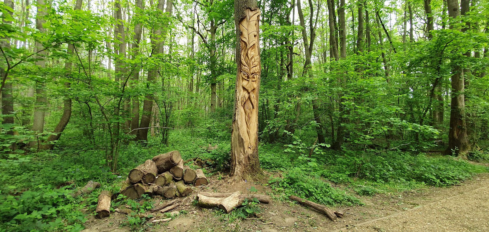
Keep exploring
Around Tarman’s Copse
Within 50 km · approximate straight-line distances