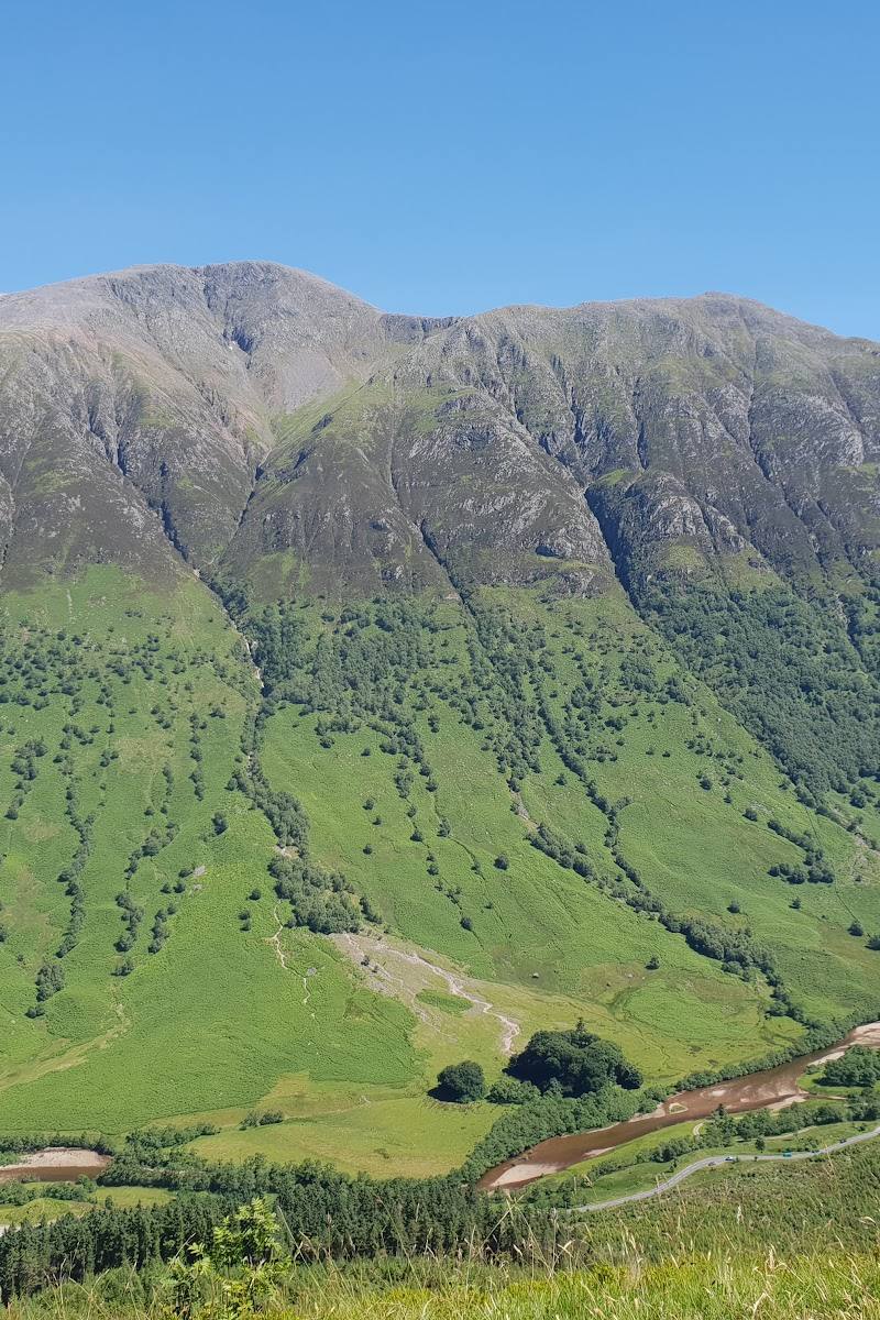
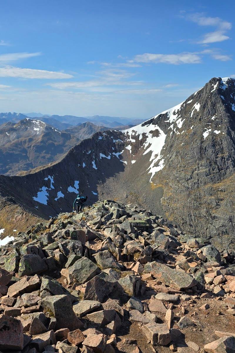
Ben Nevis, near Fort William, Scottish Highlands, PH33 6TE
Ben Nevis
Viewpoint
Place photograph
7.3
Wildland
Full day
Time
Check
Cost
Dramatic
Feel
Why it's Wildland
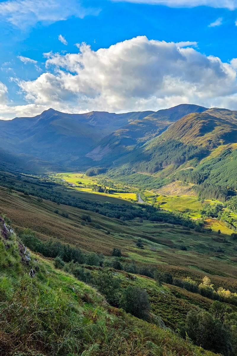
7.3At 1,345 metres, Ben Nevis is Britain’s highest mountain. Its summit can be hidden in cloud, but on a clear day the climb opens out to far-reaching Highland views.
Ben Nevis earns its place through the scale of the mountain experience: a demanding ascent, a dramatic Highland setting and the possibility of a summit panorama that stretches to the horizon. It is a serious mountain outing, not a quick viewpoint stop.
Dramatic · Wild · Big-sky
Find your way
Open mapBen Nevis, near Fort William, Scottish Highlands, PH33 6TE
Opening map…
Know this place a little better?
The experience
The main experience is a full mountain ascent. The Mountain Track starts at Glen Nevis Visitor Centre; the more demanding Carn Mor Dearg Arête starts at the North Face car park at Torlundy and is for experienced hillwalkers. Conditions, visibility and mountain safety should shape any plan.
Things to do
Climb the Mountain Track
Take the route described as best for beginners, starting at Glen Nevis Visitor Centre and following steep zig-zagging paths to the summit. The source stresses that a mountain of this size is never easy and requires fitness, navigation and mountain-safety skills.
Full day; exact duration not supplied
Reach the summit cairn
At the summit, find the cairn marking Britain’s highest point. Clear skies can bring 360-degree views to the horizon; the summit is often shrouded in mist, so views are not guaranteed.
Consider the Carn Mor Dearg Arête
This ridge-top route starts at the North Face car park at Torlundy and crosses two Munros. The supplied source recommends it for experienced hillwalkers only and notes it can take 10–11 hours, even for seasoned hikers.
Up to 10–11 hours according to the supplied source
Make a day of it
Quick escape · Full day; allow a substantial day for the climb and check current route conditions
The Mountain Track ascent
- 01
Start at Glen Nevis Visitor Centre.
- 02
Follow the Mountain Track’s steep zig-zagging path towards the summit.
- 03
At the top, find the summit cairn marking the highest point.
- 04
If conditions are clear, take in the far-reaching views before retracing your route.
When to go
· Not established by the supplied sources. Check weather, visibility and current mountain conditions before setting out.
The supplied sources do not establish a best season for climbing Ben Nevis. Conditions and visibility matter to the summit experience; check current forecasts and mountain conditions.
The summit is frequently shrouded in mist, and clear skies are needed for the far-reaching views described by the source. Check current mountain weather and conditions before setting out.
Worth pairing with
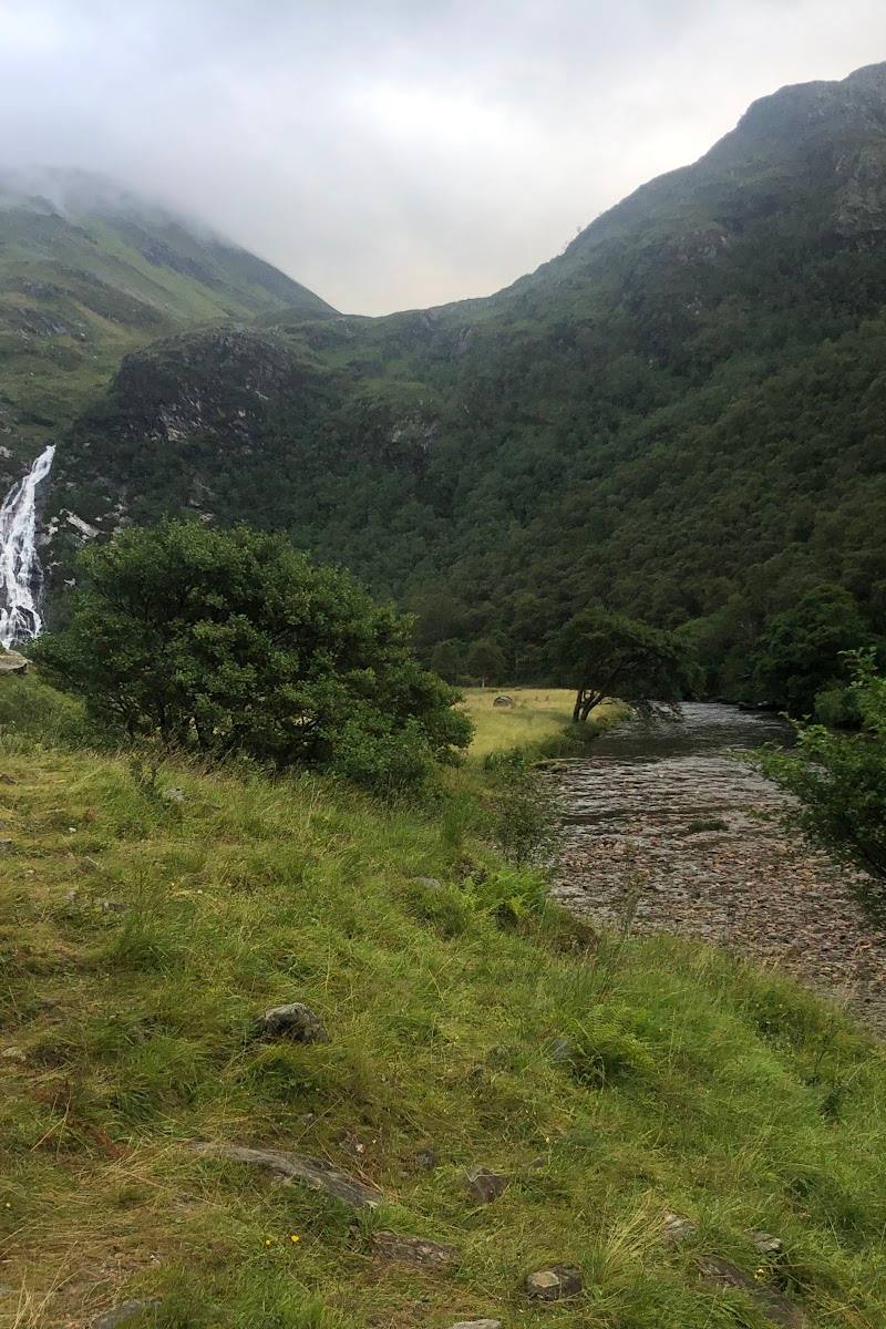
Glen Nevis
The Mountain Track starts at Glen Nevis Visitor Centre, making the glen the directly relevant approach point for the climb. Further details about facilities and other activities are not established here.
What to look for
On a clear summit day, look for the 360-degree views towards the horizon. The summit cairn marks the highest point.
Best time to go
Not established by the supplied sources. Check current conditions before planning a climb.
No best time of day or season is established by the supplied sources. Check the forecast and current mountain conditions before setting out.
How long to spend
Full day
Perfect for
Walkers · Photographers · Groups
Before you go
Address
Google rating
Practical information
Opening & access
The supplied sources describe routes to the summit, including the Mountain Track from Glen Nevis Visitor Centre and the Carn Mor Dearg Arête from Torlundy. Reaching the summit is a serious mountain undertaking, not an easy walk. Check current route, weather and access conditions before setting out; do not attempt the more demanding ridge route without appropriate experience and navigation skills. Access arrangements are unconfirmed. Check before visiting; do not enter private land or restricted structures.
Check before visiting
Parking
The supplied source identifies the Glen Nevis Visitor Centre as the Mountain Track start and North Face car park at Torlundy as the Carn Mor Dearg Arête start. Parking arrangements and availability are not confirmed; check before visiting.
Check before visiting
Toilets
Check before visiting.
Check before visiting
Food & drink
Check before visiting.
Check before visiting
Dogs
Check before visiting.
Check before visiting
Accessibility
Summiting Ben Nevis requires a good level of fitness and mountain navigation and safety skills, according to the supplied source. The Mountain Track is described as the route best suited to beginners, but the climb is still not easy. No accessible route information is supplied.
Cost
Check before visiting.
Check before visiting
Gallery
Place photographsKeep exploring
Around Ben Nevis
Within 50 km · approximate straight-line distances
 Place photograph6.9
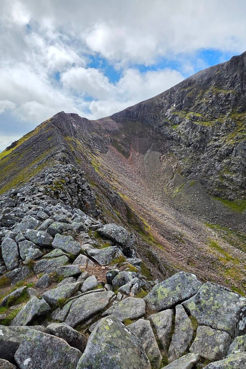
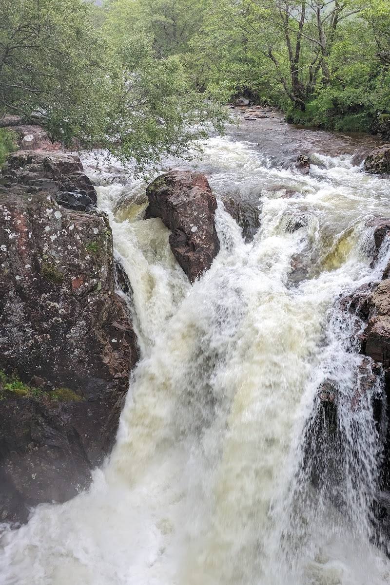
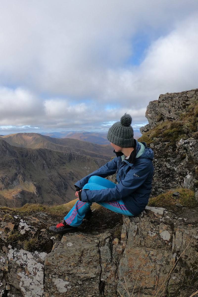
The Devil’s Ridge
Glen Nevis, near Fort William, Scottish Highlands, PH33 6SZ
5.0 km away
 Place photograph6.0
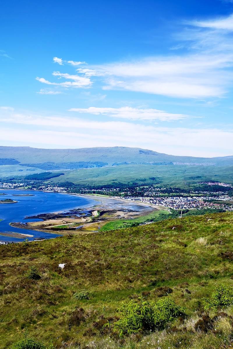
Cow Hill Viewpoint
Cow Hill, above Fort William, Lochaber, Scottish Highlands
5.8 km away