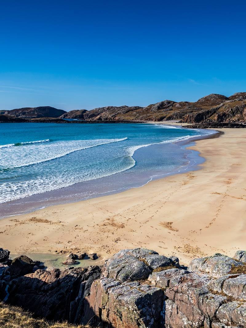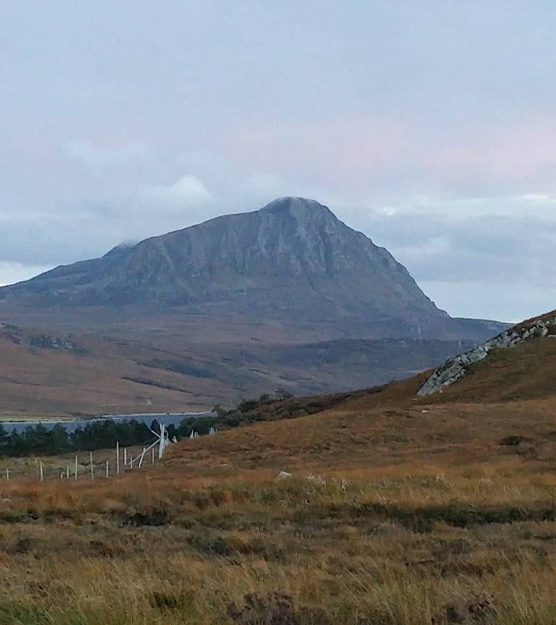
Strathmore, Sutherland, near Lairg, Scottish Highlands
Ben Hope
Viewpoint
Place photograph
7.3
Wildland
Half day
Time
Check
Cost
Wild
Feel
Why it's Wildland
7.3Ben Hope stands alone above Sutherland’s remote moorland and lochs. The climb follows a tumbling stream and steep, rocky slopes to a broad summit plateau, where the northern Highlands open out towards the sea.
A solitary northern Munro with a real sense of scale: the steep ascent beside Allt a’Mhuiseil gives way to a summit panorama of isolated peaks, lochans and distant sea. The effort is substantial, but the mountain’s exposed, far-north setting makes the view feel earned.
Wild · Remote · Dramatic · Big-sky
Find your way
Open mapStrathmore, Sutherland, near Lairg, Scottish Highlands
Opening map…
Know this place a little better?
The experience
Ben Hope is a demanding out-and-back ascent, not a short summit stroll. From the Strathmore car park, climb beside Allt a’Mhuiseil, cross the steep southern slopes and ridge, and continue past the false summit to the summit plateau. Choose a clear, settled day for the expansive views; allow around four to six hours and carry suitable footwear and extra layers.
Things to do
Follow Allt a’Mhuiseil uphill
The route begins steeply beside the tumbling stream. Watch the character of the path and surrounding slopes change as you climb.
Part of the summit walk
Reach the summit plateau
Continue past the false summit to the boulder-strewn plateau, where the trig point and windshelter cairn stand.
Part of a 4–6 hour return walk
Take in the far-north panorama
On a clear day, look across the surrounding wilderness of lochans and isolated peaks towards the distant sea.
Allow time for a summit break
Make a day of it
Quick escape · Check conditions and allow time appropriate to the section attempted
Quick Escape: the lower stream approach
- 01
Start from the car park in Strathmore.
- 02
Follow the path beside Allt a’Mhuiseil and take in the stream and its waterfalls.
- 03
Turn back well before the steep upper mountain climb unless equipped and prepared for a full ascent.
Half day · 4–6 hours
Make a half day of it: climb Ben Hope
- 01
Start at the car park in Strathmore.
- 02
Climb beside Allt a’Mhuiseil, then continue steeply towards the grassy shelf and broad southern ridge.
- 03
Follow the eroded route past the false summit to the summit plateau and trig point.
- 04
Return by the same route; allow for the steep, rocky ground and changing mountain weather.
Verified history
The supplied sources describe Ben Hope as the most northerly Munro, rising to 927 metres. They describe a summit plateau with a trig point and windshelter cairn. No further historical account is supported by the supplied research.
Hidden details
The windshelter cairn on the summit — The summit plateau has both a trig point and a windshelter cairn amid boulders; look for them after reaching the top.
A waterfall extension is described, but requires a different return — Walkhighlands describes an extended option along the escarpment of Leitir Mheuiseil, descending beyond a waterfall above Alltnacaillich before returning to the start by road. Treat this as a separate route choice and check navigation details before attempting it.
When to go
May · June · July · August · September · Choose a clear, settled weather window and allow ample time for the ascent and return.
The supplied route guide recommends May–September. Visibility matters: cloud can obscure the summit panorama, while wind and conditions on the exposed upper mountain can make the walk more challenging.
Mountain weather can change quickly. Check the forecast before setting out; bring proper footwear and extra layers for the exposed summit. The route source also advises preparing for insects.
The route
- ascent
- 946 m
- stiles
- Check before visiting
- surface
- Steep, wet and rocky at first, followed by an eroded mountain path and rocky summit ground
- distance
- 7.5 km / 4.75 miles return
- duration
- 4–6 hours
- difficulty
- Hard; steep, wet and rocky in places
- waymarking
- Not marked; route is described as generally well-defined, with cairns along the way
- route shape
- Out and back
- start point
- Car park in Strathmore, at grid reference NC462476
- parking start
- Car park in Strathmore; check current arrangements before visiting.
- shorter alternative
- Turn back from the lower stream approach rather than attempting the full summit ascent; no measured shorter route is provided.
- The tumbling Allt a’Mhuiseil stream and waterfalls
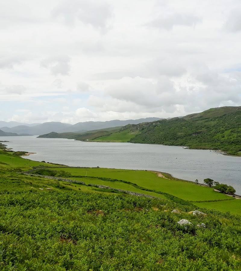
- Views up Strathmore from the climbing path
- The summit plateau, trig point and windshelter cairn
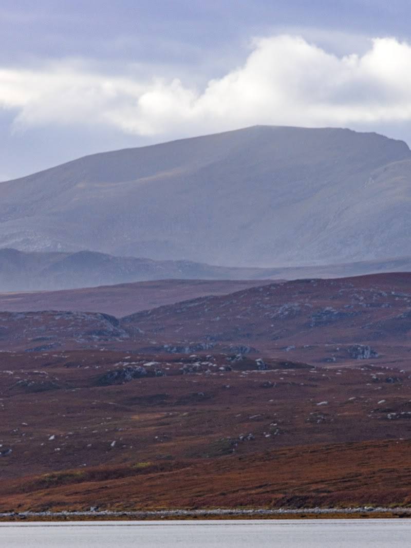
- Far-reaching views over lochans, isolated peaks and distant sea
What to look for
Notice the change from the tumbling Allt a’Mhuiseil to the open grassy ridge and boulder-strewn summit plateau. From the top, look for the surrounding lochans and isolated peaks, with Loch Hope and Loch Eriboll among the wider landscape below.
Best time to go
May–September, subject to current mountain weather and conditions
May–September is the suggested walking season in the supplied route guide. Choose a clear, settled day for the summit views, but check the mountain forecast immediately before setting out.
How long to spend
Half day
Perfect for
Walkers · Photographers
Before you go
Address
Google rating
Practical information
Opening & access
The summit is reached by a steep, demanding mountain walk from the car park in Strathmore. Check current conditions and access arrangements before setting out; this is exposed hill terrain, not a casual viewpoint stop. Access arrangements are unconfirmed. Check before visiting; do not enter private land or restricted structures.
Check before visiting
Parking
Car park in Strathmore; confirm current arrangements before travelling.
Toilets
Check before visiting
Check before visiting
Food & drink
Check before visiting
Check before visiting
Dogs
Dogs are reported as allowed on a lead; keep dogs close near the summit edge and check current guidance before visiting.
Check before visiting
Accessibility
Not suitable for a step-free visit. The route is steep and rocky, with a demanding ascent and exposed mountain terrain.
Cost
Check before visiting
Check before visiting
Water
Stream, lochans, lochs, waterfalls
Gallery
Place photographs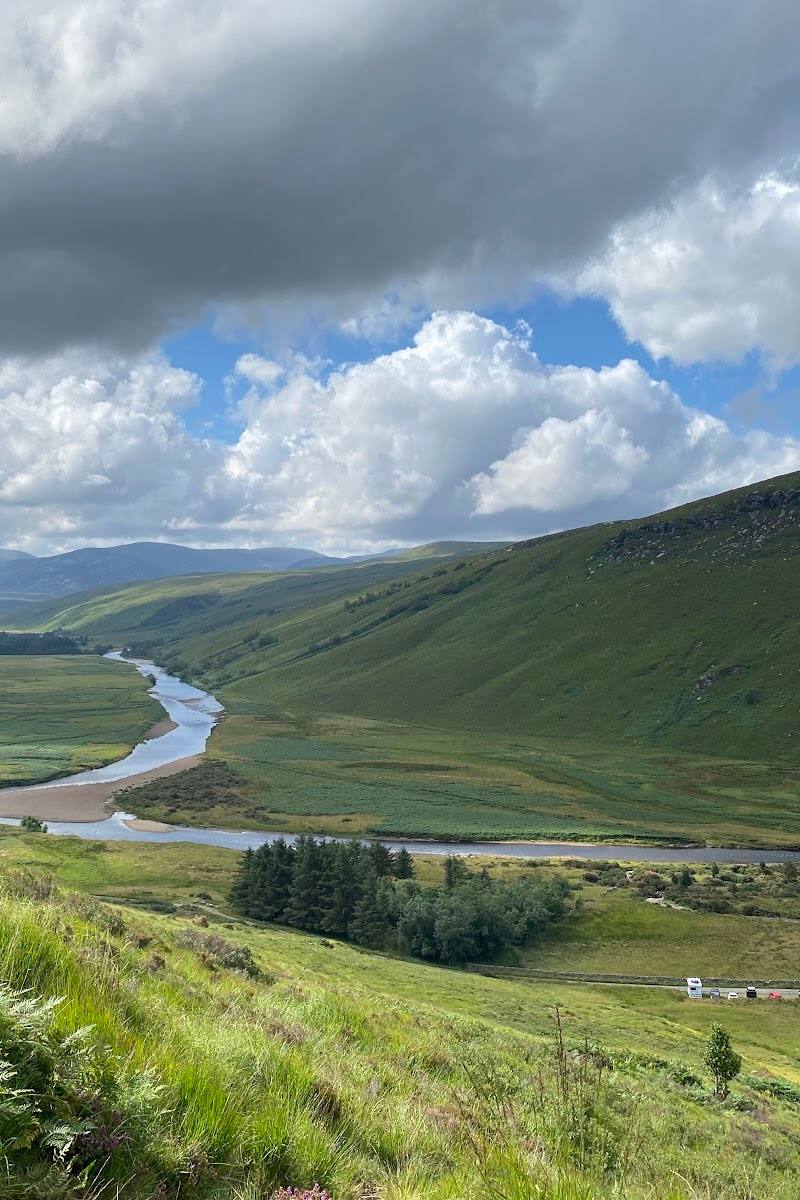
Keep exploring
Around Ben Hope
Within 50 km · approximate straight-line distances
 Place photograph8.6
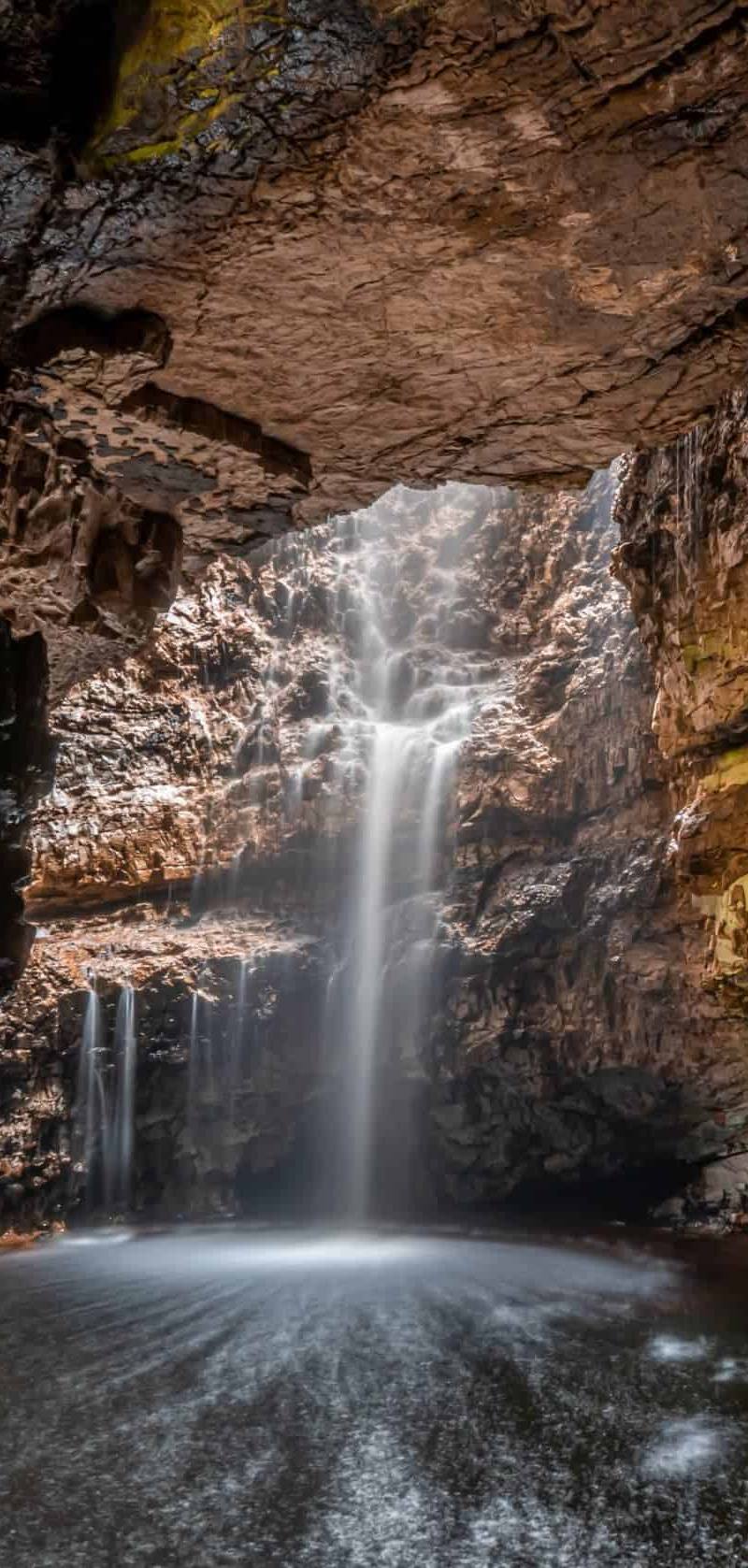
Smoo Cave
About a mile east of Durness, Sutherland, Scottish Highlands
18.0 km away
 Place photograph9.2
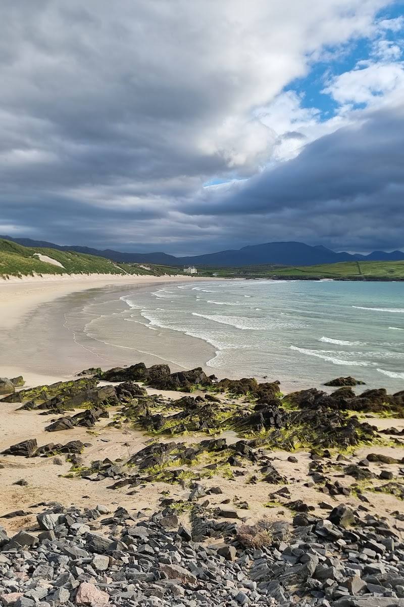
Sandwood Bay
North of Kinlochbervie, Sutherland, north-west Highlands, Scotland
28.3 km away