8.0
Wildland
1–2 hours
Time
Check
Cost
Wild
Feel
Why it's Wildland
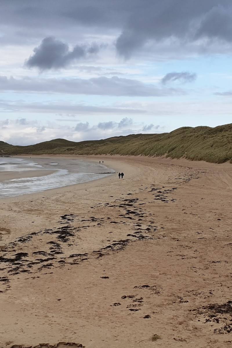
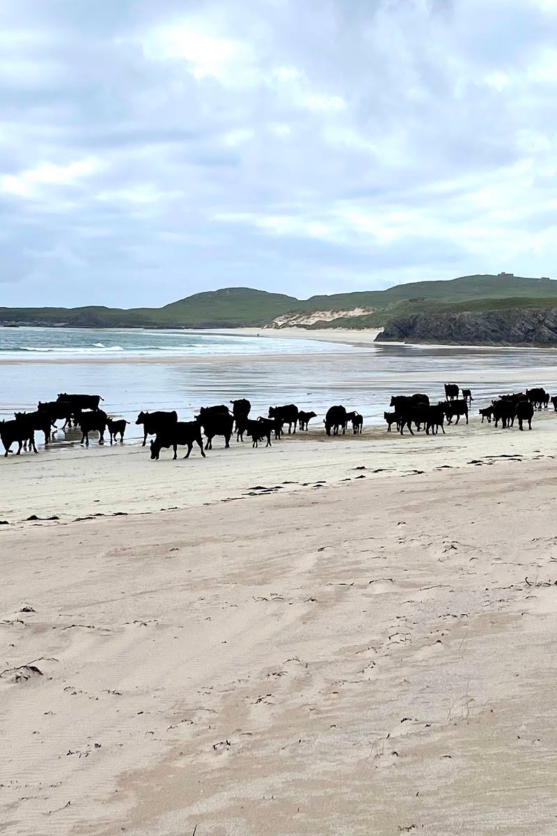
8.0A long sweep of pale shell sand and complex dunes at the far north-western edge of Sutherland, opening onto the exposed North Atlantic.
Balnakeil earns its place for the scale of its white-sand shoreline, substantial dune landscape and the chance to continue on towards Faraid Head. It feels properly remote, but the Atlantic exposure makes conditions an important part of the visit.
Wild · Dramatic · Remote
Find your way
Open mapBalnakeil, near Durness, Sutherland
Opening map…
Know this place a little better?
The experience
Start with the open beach and its dune-backed shoreline. If conditions and time allow, continue towards Faraid Head for a longer coastal walk. The beach is directly exposed to the North Atlantic, so check the weather and tide conditions before setting out.
Things to do
Walk a section of Balnakeil Beach
Explore the broad shell-sand shore beneath the dunes. Keep the exposed Atlantic conditions and tide in mind, and check locally before venturing farther.
Around 1 hour; estimate
Continue to Faraid Head
Follow the described circuit over beach, track and dune paths to viewpoints on the headland. Seabirds, including puffins in early summer, may be seen; wildlife sightings are not guaranteed.
Roughly 1.5–2 hours
Make a day of it
Quick escape · Around 1 hour; estimate
Quick Escape: the white-sand shoreline
- 01
Begin from the beach access point and take in the scale of the shell-sand shore.
- 02
Walk a short section along the beach and dunes, turning back when conditions or tide make it sensible.
- 03
Check weather and tide conditions before setting out; the beach is exposed to the Atlantic.
Half day · Roughly 1.5–2 hours for the Faraid Head circuit; allow extra time for the beach
Make a half day of it: beach and Faraid Head
- 01
Start from the car park and follow the route through the dunes and along the beach towards Faraid Head.
- 02
Continue to the headland viewpoints, then return by the described circuit.
- 03
Look for seabirds around the headland in nesting season; check conditions and route details before setting out.
When to go
· Choose a calm spell and check the tide before visiting; no specific time of day is established by the supplied sources.
Early summer may offer the chance to see nesting seabirds around Faraid Head. The coast is exposed, so weather and sea conditions matter more than a fixed seasonal recommendation.
The beach faces the North Atlantic and is described as highly exposed. Wind can blow sand across the shore; check the forecast and local conditions before setting out.
Worth pairing with
Balnakeil Craft Village
A cluster of artist and maker studios beside Balnakeil Bay, described as a possible companion visit to the beach. Check opening details before travelling.
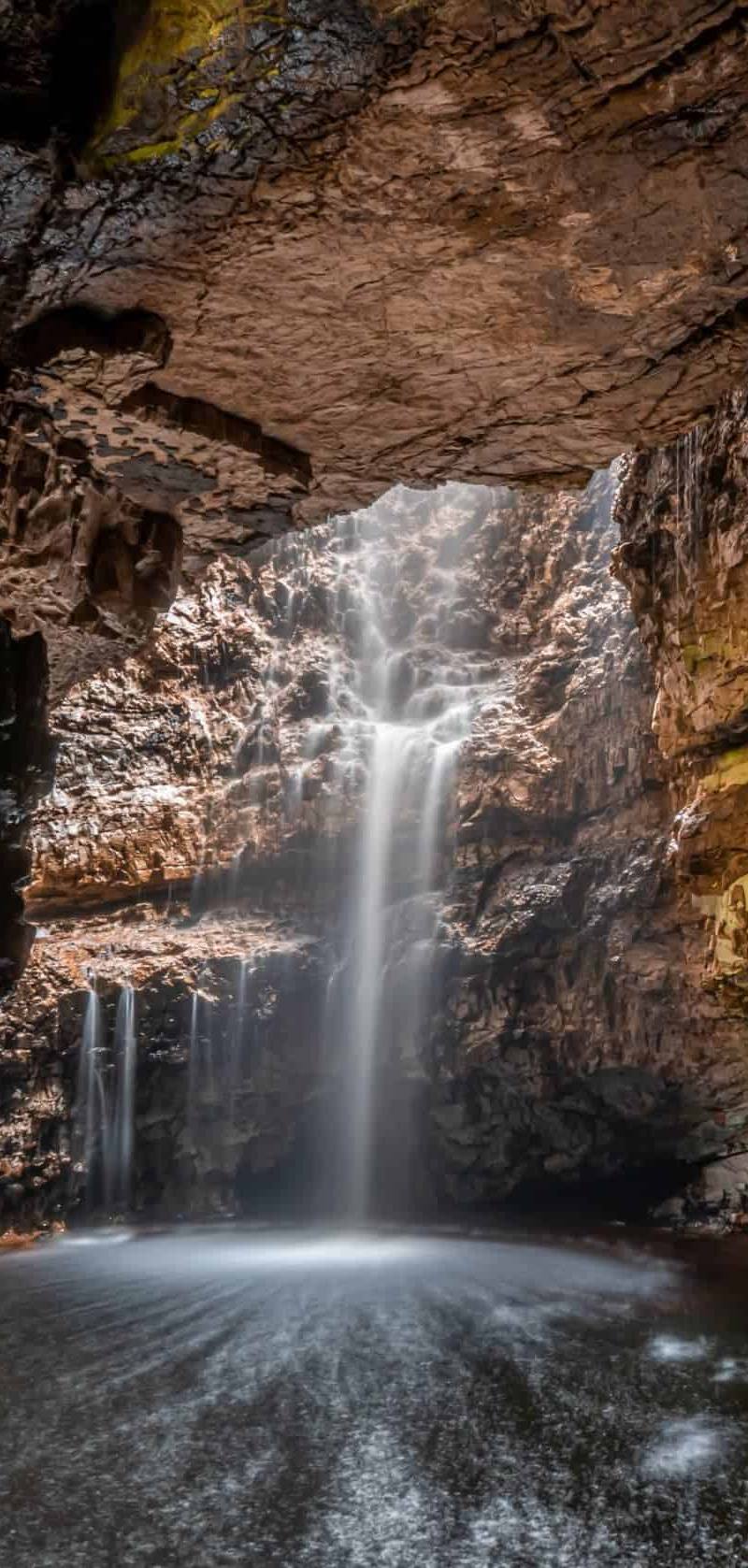
Smoo Cave
A nearby limestone cave and distinct contrast to the open coast; the supplied guide describes a public walkway to the waterfall chamber. Check current access and conditions.
What to look for
Notice the contrast between the pale shell sand, the large grass-covered dunes and the rocky features described along the shore. Around Faraid Head, look out for seabirds in nesting season, while keeping a respectful distance from wildlife.
Best time to go
Late spring and summer for longer daylight and the possibility of seeing nesting seabirds around Faraid Head; conditions vary and should be checked before travelling.
Choose a calm day for a more comfortable beach walk; the coast is highly exposed and wind can drive sand across the shore.
How long to spend
1–2 hours
Perfect for
Walkers · Photographers · Wildlife lovers
Before you go
Address
Google rating
Practical information
Opening & access
A remote, exposed beach of white shell sand beside the Faraid Head peninsula. A route from the car park crosses dunes and beach; check local conditions and access before setting out.
Check before visiting
Parking
A car park is described as the starting point for the Faraid Head route; details and availability should be checked before visiting.
Check before visiting
Toilets
Check before visiting
Check before visiting
Food & drink
Check before visiting
Check before visiting
Dogs
Check before visiting
Check before visiting
Accessibility
The described route crosses dunes, beach and track; accessibility details are not established. Check before visiting.
Check before visiting
Cost
Check before visiting
Check before visiting
Water
Sea
Gallery
Place photographs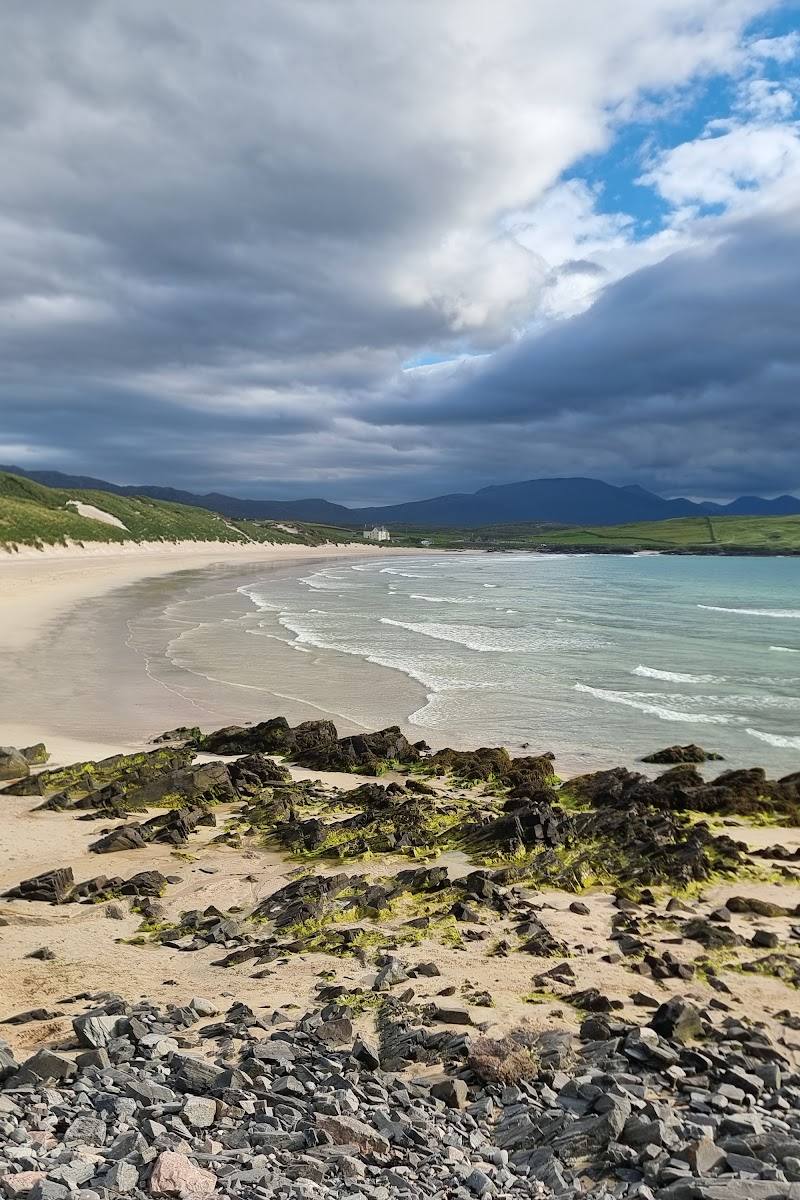
Keep exploring
Around Balnakeil Beach
Within 50 km · approximate straight-line distances

 Place photograph9.2
Sandwood Bay
North of Kinlochbervie, Sutherland, north-west Highlands, Scotland
18.7 km away
 Place photograph8.0
Kylesku Bridge
A894 at Kylesku, Sutherland, north-west Highlands, Scotland
38.7 km away