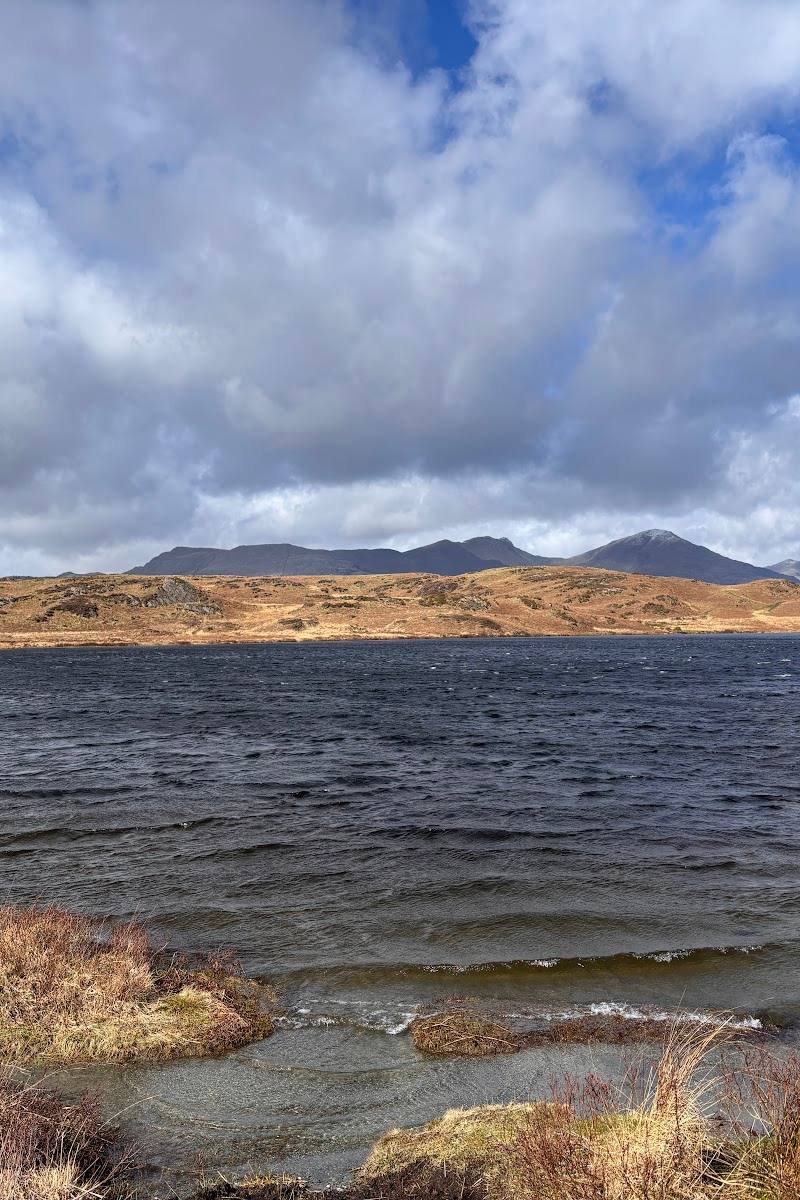
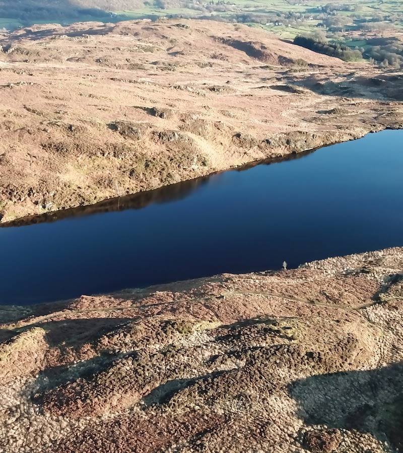
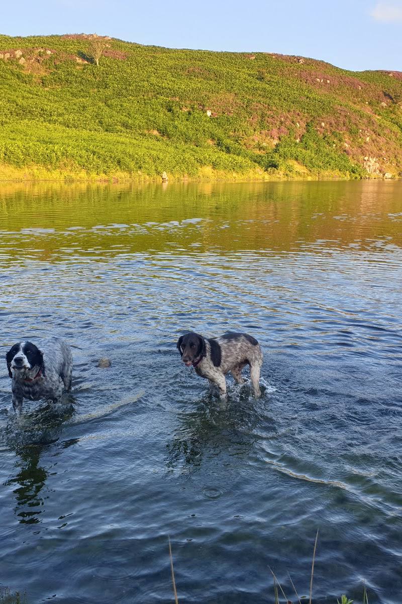
Goosnargh, Lancashire, PR3 2NL. Note: the supplied row also labels this place “Beacon Fell, Cumbria” and refers to Beacon Tarn near Coniston
Beacon Fell Country Park
Forest recreation landscape
Place photograph
5.5
Wildland
1–2 hours
Time
Check
Cost
Peaceful
Feel
Why it's Wildland
5.5A wooded hill above the Lancashire plain, with summit views, a small tarn and paths through a varied country-park landscape.
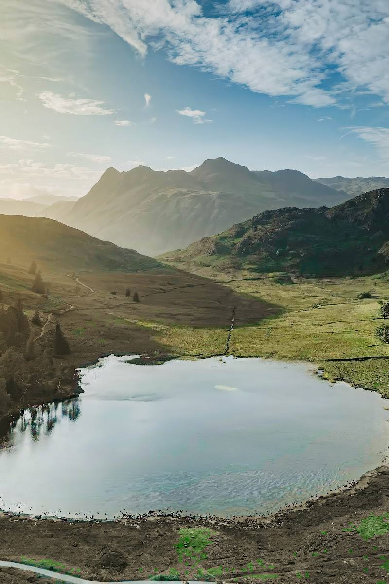
Beacon Fell brings woodland, moorland, a tarn and far-reaching views together on one modest hill. Its walking paths and summit features make it a good place to explore rather than simply admire from a distance.
Peaceful · Wild
Find your way
Open mapGoosnargh, Lancashire, PR3 2NL. Note: the supplied row also labels this place “Beacon Fell, Cumbria” and refers to Beacon Tarn near Coniston
Opening map…
Know this place a little better?
The experience
Walk the paths through conifer woodland and moorland, look out for the small tarn and outdoor sculptures, then reach the summit trig point for views across the Lancashire Plain and towards the southern Bowland fells.
Things to do
Walk the country-park paths
Explore the network of footpaths through woodland and moorland.
Find the summit trig point
Make for the trig point at the summit and look out over the Lancashire Plain and south Bowland fells.
Look for the tarn and sculptures
The park description mentions a small tarn and outdoor sculptures among its features.
Make a day of it
Quick escape · 1–2 hours
Quick summit-and-tarn walk
- 01
Follow a country-park footpath through the woodland.
- 02
Look for the small tarn and outdoor sculptures.
- 03
Continue to the summit trig point for views, then return by the path.
Half day · Half day
Explore the hill’s different landscapes
- 01
Take time to explore the footpaths through conifer woodland and moorland.
- 02
Visit the tarn and look out for the park’s outdoor sculptures.
- 03
Finish at the summit trig point and pause for the views across the Lancashire Plain and towards the south Bowland fells.
Verified history
The supplied description says the site has been managed as a country park since 1970. It describes the park as a 75-hectare landscape centred on an isolated hill, with conifer woodland, moorland, a small tarn and footpaths.
When to go
· A clear day, when the summit views are visible.
The supplied sources do not identify a best season. Clear conditions are useful for appreciating the views.
Check local conditions before visiting; views from the summit may be limited in poor visibility.
The route
- Conifer woodland and moorland
- Small tarn
- Outdoor sculptures
- Summit trig point and views
What to look for
Look for the small tarn, outdoor sculptures and the summit trig point. On a clear day, take time to pick out the Lancashire Plain and the south Bowland fells.
The story
None established by the supplied sources.
Best time to go
Spring to autumn
Choose a clear day for the summit views; check conditions before setting out.
How long to spend
1–2 hours; Half day
Perfect for
Walkers · Families · Photographers · Wildlife lovers
Before you go
Address
Google rating
Practical information
Opening & access
Described by the supporting source as a country park with a network of footpaths. Check current access and conditions before visiting.
Check before visiting
Parking
Check before visiting.
Check before visiting
Toilets
Check before visiting.
Check before visiting
Food & drink
A café is mentioned in the supplied Tripadvisor description; check whether it is open before visiting.
Check before visiting
Dogs
Check before visiting.
Check before visiting
Accessibility
The source describes a network of footpaths but gives no route-surface or accessibility details. Check before visiting.
Check before visiting
Cost
Check before visiting.
Check before visiting
Water
Pond
Gallery
Place photographsKeep exploring
Around Beacon Fell Country Park
Within 50 km · approximate straight-line distances

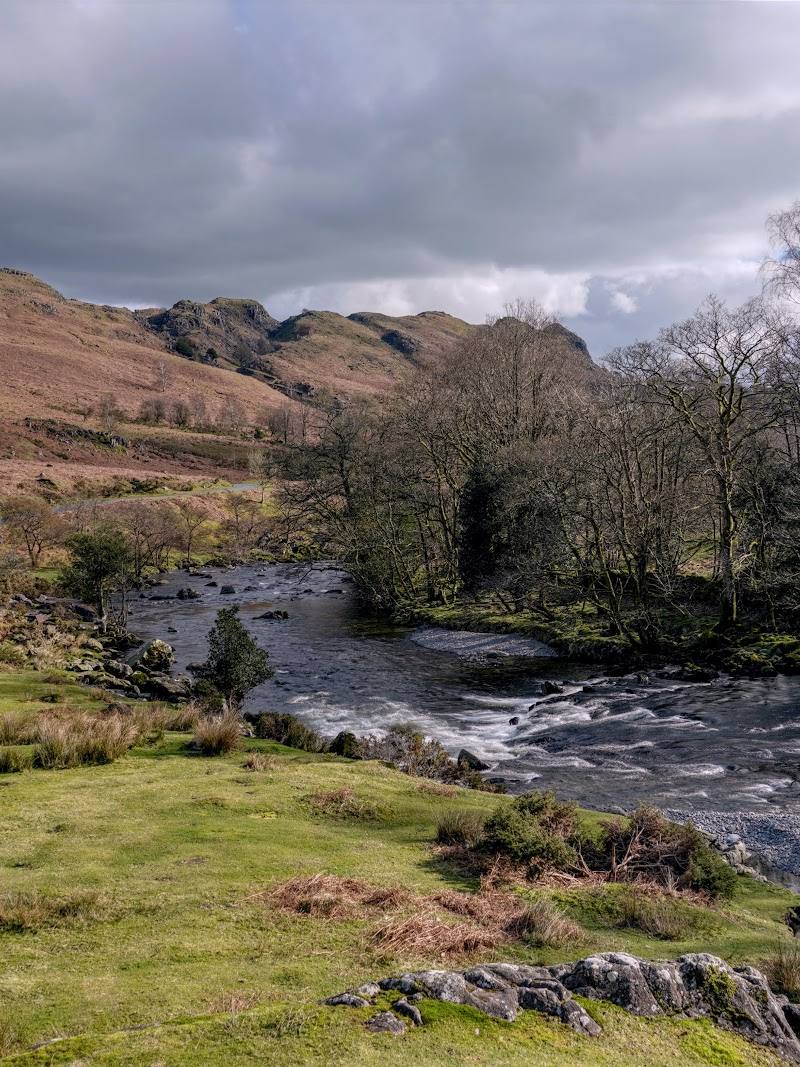 Place photograph6.1
Duddon Valley
Duddon Valley, near Broughton-in-Furness, Cumbria, LA20 6EU
7.8 km away
 Place photograph8.3
Hill Top, Beatrix Potter’s House
Near Sawrey, Ambleside, Cumbria LA22 0LF
11.1 km away