Limehouse, London E14 7JG
Basin Approach Walkpath – Limehouse
route · Waterside walk
Place photograph
4.2
Wildland
1–2 hours
Time
Check
Cost
Atmospheric
Feel
Why it's Wildland
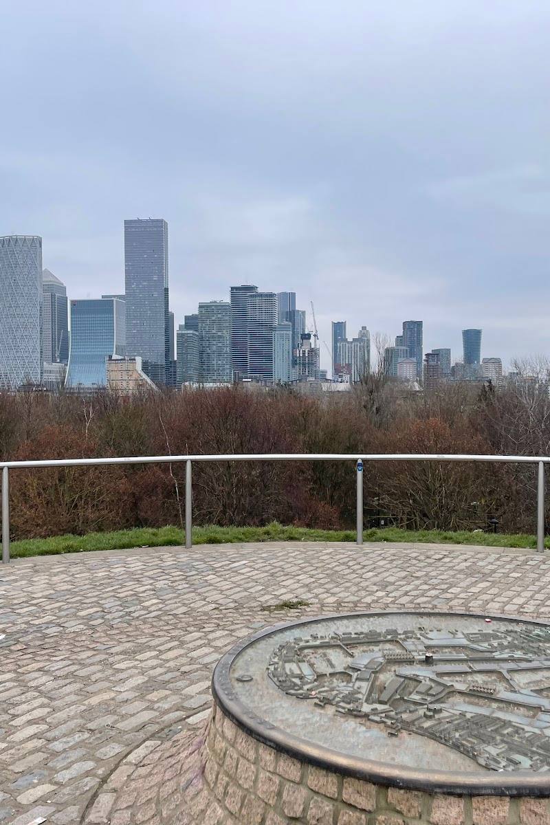
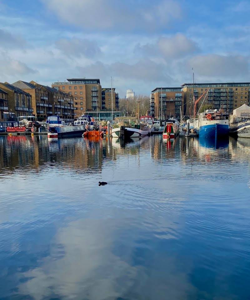
4.2A short canal-side walk where Limehouse’s working-waterway past meets the modern Docklands skyline. The route passes locks, old bridges and traces of the people and industries that once depended on the canal.
This is an urban waterside walk rather than a rural escape, but the canal gives it a distinct change of pace. Locks, moored boats and small details of working-waterway history make the one-mile route more rewarding than a simple waterside stroll.
Atmospheric
Find your way
Open mapLimehouse, London E14 7JG
Opening map…
Know this place a little better?
The experience
Follow the Canal & River Trust’s one-mile route from Commercial Road Lock to Mile End Road, taking time to notice Limehouse Basin, the canal locks and the historic structures along the towpath.
Things to do
Follow the Limehouse-to-Mile End canal walk
Walk the Canal & River Trust route along Regent’s Canal from Commercial Road Lock to Mile End Road.
About 30 minutes walking
Look around Limehouse Basin
At the start, take in the basin and the Grade II-listed Accumulator Tower and chimney, built in 1869 to regulate hydraulic pressure for docks and bridges.
Notice the canal’s working-waterway details
The Trust’s route notes identify the Lock House at Salmon Lane Lock, horse ramps by Johnson’s Lock and rope grooves at Mile End Lock.
Make a day of it
Quick escape · About 30 minutes walking; allow longer for stops
Quick canal-side walk
- 01
Start at Commercial Road Lock, behind Limehouse Basin.
- 02
Follow the Regent’s Canal towpath towards Mile End Road.
- 03
Notice the locks, bridges and historic structures along the route.
Verified history
The Canal & River Trust describes Limehouse Basin’s Grade II-listed Accumulator Tower and chimney as dating to 1869. The structure regulated hydraulic pressure for equipment including cranes, locks, capstans and swing bridges. Its route also notes the Lock House beside Salmon Lane Lock, dating from 1864, and former goods warehouses later converted for the Ragged School Museum.
Hidden details
The horse ramps at Johnson’s Lock — The Trust identifies two remaining horse ramps at the water’s edge. They helped working boat horses climb back to the towpath if they fell into the canal while towing barges.
Rope grooves at Mile End Lock — Look for deep grooves in the lock’s stone, worn by ropes used by boat horses towing loads.
When to go
· No specific time is verified; check current conditions before setting out.
The supplied route information gives no seasonal recommendation.
Check the forecast and current towpath conditions before visiting.
The route
- surface
- Canal towpath; exact surface not specified
- distance
- 1 mile / 1.6 km
- duration
- Walking time not specified; allow extra time for stops.
- difficulty
- Not specified
- route shape
- Point-to-point
- start point
- Commercial Road Lock, behind Limehouse Basin
- parking start
- Check before visiting; the source does not specify parking.
- Limehouse Basin
- Grade II-listed Accumulator Tower and chimney
- Salmon Lane Lock and Lock House
- Horse ramps at Johnson’s Lock
- Historic canal bridges and Mile End Lock
What to look for
Look for the locks, bridges and historic structures identified along the route, including the Grade II-listed Accumulator Tower and chimney near Limehouse Basin and the Lock House beside Salmon Lane Lock.
The story
Industry
Best time to go
Year-round
The route is described as a short walk through an urban landscape. No specific best time or seasonal wildlife viewing is verified.
How long to spend
1–2 hours
Perfect for
Walkers · History lovers · Photographers
Route at a glance
Duration
1–2 hours
Terrain
Riverside, Urban historic
Parking / start
Check before visiting
Before you go
Address
Google rating
Practical information
Opening & access
A Canal & River Trust walking route starts at Commercial Road Lock, behind Limehouse Basin, and follows the Regent’s Canal towpath to Mile End Road. Check current access and any temporary towpath closures before setting out.
Check before visiting
Parking
Check before visiting
Check before visiting
Toilets
Check before visiting
Check before visiting
Food & drink
Check before visiting
Check before visiting
Dogs
Check before visiting
Check before visiting
Accessibility
The route follows a canal towpath. Surface, step-free access and current conditions are not confirmed; check before visiting.
Check before visiting
Cost
Check before visiting
Check before visiting
Water
Canal
Gallery
Place photographsKeep exploring
Around Basin Approach Walkpath – Limehouse
Within 50 km · approximate straight-line distances